Ureki tide times
Ureki tide forecast — heights relative to MSL.
Today's tide times for Ureki
Tide times at Ureki on Saturday, 4 July 2026: first high tide at 04:00am. Sunrise 05:41am, sunset 08:51pm.
Tide chart for Ureki
24-hour cosine-interpolated curve around the present moment. Heights relative to MSL. Predictions: Predictions: Open-Meteo Marine (MeteoFrance SMOC, 0.08° grid).
Sun, moon and conditions on Sat 04 Jul
Snapshot at build time — refreshes daily. Sea state from Open-Meteo Marine.
Highs and lows next 7 days
Every predicted high and low for the next week, with the daily tidal coefficient (0–120; higher = bigger swing, > 95 means stronger currents).
Other spots nearby
The three closest curated TideTurtle locations to Ureki, measured by great-circle distance.
Today's solunar windows
Solunar tradition: major periods are the ≈3h windows around moon transit and opposition; minor are ≈2h around moonrise and moonset. Pair with the local tide stage and wind for the best read.
About tides at Ureki
A short guide to the coastline at Ureki — geography, sea state, and what the tide is actually doing under your feet.
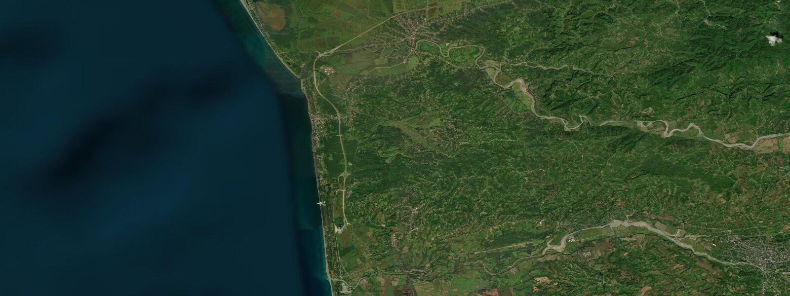
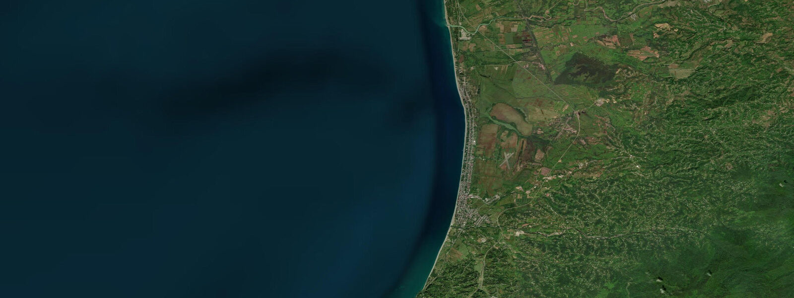
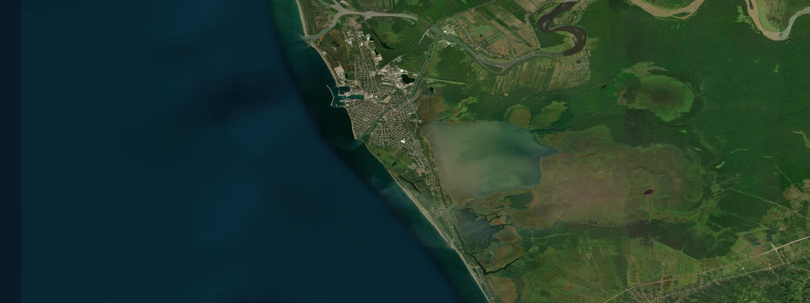
Ureki is a Black Sea resort town in Georgia's Guria region, 50 km northwest of Batumi, and it is known for one thing above all others: the colour of its sand. The beach at Ureki is black — the sand composed largely of magnetite, a magnetic iron oxide mineral eroded from the volcanic and metamorphic rocks of the Caucasus and concentrated by wave sorting along this section of coast. A magnet drawn through the sand picks up a visible mass of black metalite grains within seconds. The magnetic nature of the sand is measurable and real, and the Georgian sanatorium tradition, which dates from the Soviet period and remains active, treats the beach as a therapeutic resource: sunbathing on the magnetite sand and burial of the limbs in the warm sand is prescribed at several sanatoria and health hotels in the town for cardiovascular and musculoskeletal conditions. Whether the magnetic field of the sand produces the claimed effects is a clinical question outside the scope of this page; the therapeutic tradition is genuine, the infrastructure is real, and Georgian visitors arrive specifically for the treatment protocol.
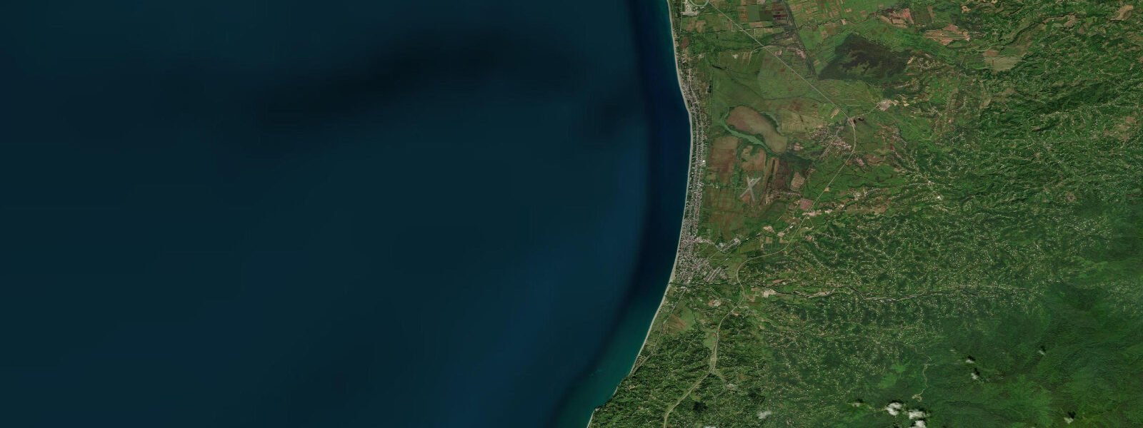
The beach at Ureki extends for roughly 6 km, wide and backed by a low dune belt and then the dense subtropical vegetation of the Colchic lowland. The sand is dark enough that it absorbs solar heat more rapidly than pale beach sand — the surface can reach 40°C in direct July and August sun, which is intentional for the burial therapy but requires caution for unacclimatised visitors. The sea temperature here reaches 24 to 25°C in August, the same as elsewhere on the eastern Georgian coast.
The Black Sea at Ureki is microtidal: mean astronomical range 0.1 to 0.2 m. This is a characteristic of the entire enclosed Black Sea, which has only the narrow Turkish Straits as its connection to the Mediterranean tidal system. The tidal signal at Ureki is effectively absent as a practical influence on beach activity. What moves the water level here is meteorological: Black Sea storms and seiches (standing oscillations within the enclosed basin) can produce water-level changes of 0.5 to 1.0 m with periods of hours, entirely unrelated to astronomical tide. A seiche in the Black Sea with a period of roughly 36 hours can produce oscillations that look like a large slow tide but are driven by the resonance of the basin under wind forcing, not by the moon. Autumn and winter storms from the northwest produce the most significant surge events on the Georgian coast; summer conditions are generally calmer.
Paddlers and kayakers launch from the southern end of Ureki beach where the current is lighter and the wave exposure lower. Shore anglers fish the river mouths and the rocky points that occasionally interrupt the sandy beach, targeting mullet and sea bass. The Colchic wetlands behind the beach — a remnant of the Colchic rainforest and its associated lowland marsh system — are accessible by road from Ureki and hold significant bird populations.
Predictions on this page come from Open-Meteo Marine, a gridded global ocean model. At the 0.1 to 0.2 m astronomical range of the Georgian Black Sea coast, the model's typical accuracy of plus or minus 45 minutes on timing and 0.2 to 0.3 m on height is equal to or larger than the total tidal signal. The predictions describe the background astronomical rhythm; actual water-level conditions are driven by wind, seiche, and storm surge. The Georgian Hydrometeorology Department (under the Environment and Climate Change Department) publishes weather and sea-state bulletins for the Georgian coast.
Tide questions about Ureki
Quick answers to the most common questions about tide times, range, and water access at Ureki.
When is the next high tide at Ureki?
The hero block at the top of this page shows the next predicted high at Ureki in local Georgia Standard Time (GET, UTC+4). Astronomical tidal range at Ureki is 0.1 to 0.2 m — effectively imperceptible at the beach. The Black Sea is nearly enclosed, and the tidal signal is minimal. Water-level changes at Ureki are driven by wind and Black Sea seiches, which can produce 0.5 to 1.0 m oscillations over several hours. The wind and weather forecast from Georgia's Environment and Climate Change Department is the more useful planning input.
Why is the sand black at Ureki?
The black colour comes from magnetite — a magnetic iron oxide mineral (Fe₃O₄) eroded from the volcanic and metamorphic rocks of the Caucasus range and carried to the coast by rivers. Wave action sorts minerals by density; heavy minerals like magnetite concentrate along the foreshore while lighter quartz sand is more mobile. A standard magnet held to the sand attracts a visible cluster of black grains within seconds. The magnetite content varies along the beach and is higher in the southern sections where river input from the Caucasian foothills is more direct.
What is the tidal range at Ureki?
Mean astronomical range is 0.1 to 0.2 m — characteristic of the entire Black Sea coast. The Black Sea has only the narrow Turkish Straits (Bosphorus and Dardanelles) connecting it to the Mediterranean tidal system, and the signal dissipates almost entirely before reaching the eastern coast. Water-level variation at Ureki is dominated by Black Sea seiches (basin resonance oscillations), wind-driven setup, and storm surge. Significant events can produce 0.5 to 1.0 m water-level changes unrelated to the astronomical tide.
Is the magnetic sand therapy genuine?
The therapeutic use of the Ureki magnetite sand has a real institutional history: the Georgian sanatorium system, established during the Soviet period, prescribed beach therapy at Ureki specifically for cardiovascular and musculoskeletal conditions, and several operating health hotels continue to offer treatment programmes based on sand burial and magnetic sand exposure. Whether the magnetic field of the sand produces measurable clinical benefits is a medical question, and the evidence base is limited. The tradition is genuine, the infrastructure is real, and the Georgian medical establishment recognises Ureki as a balneological resort. Visitors attending for therapeutic purposes should consult qualified practitioners at the sanatorium facilities in the town.
Is this safe to use for navigation?
No. TideTurtle is a planning tool for recreational coastal activity, not a navigation resource. The Georgian Black Sea coast near Ureki has no major ports, but coastal navigation in the Black Sea requires standard chart practice. The Georgian Maritime Transport Agency and the relevant Black Sea navigational charts are the authoritative sources for Georgian coastal navigation. Open-Meteo Marine gridded predictions do not replace authoritative sources for any vessel operation.
4-day tide table — Ureki
Heights relative to MSL. Predictions: Open-Meteo Marine (MeteoFrance SMOC, 0.08° grid) — heights relative to MSL (not chart datum / LAT). Model-derived.
| Day | Type | Time | Height |
|---|---|---|---|
| Sat 04 Jul | High | 04:00 | -0.4m |
| Sun 05 Jul | — | ||
| Mon 06 Jul | Low | 21:00 | -0.4m |
| Tue 07 Jul | High | 16:00 | -0.3m |