Kobuleti, Georgia tide times
Kobuleti, Georgia tide forecast — heights relative to MSL.
Today's tide times for Kobuleti, Georgia
Tide times at Kobuleti, Georgia on Saturday, 4 July 2026: first high tide at 04:00am. Sunrise 05:42am, sunset 08:51pm.
Tide chart for Kobuleti, Georgia
24-hour cosine-interpolated curve around the present moment. Heights relative to MSL. Predictions: Predictions: Open-Meteo Marine (MeteoFrance SMOC, 0.08° grid).
Sun, moon and conditions on Sat 04 Jul
Snapshot at build time — refreshes daily. Sea state from Open-Meteo Marine.
Highs and lows next 7 days
Every predicted high and low for the next week, with the daily tidal coefficient (0–120; higher = bigger swing, > 95 means stronger currents).
Other spots nearby
The three closest curated TideTurtle locations to Kobuleti, Georgia, measured by great-circle distance.
Today's solunar windows
Solunar tradition: major periods are the ≈3h windows around moon transit and opposition; minor are ≈2h around moonrise and moonset. Pair with the local tide stage and wind for the best read.
About tides at Kobuleti, Georgia
A short guide to the coastline at Kobuleti, Georgia — geography, sea state, and what the tide is actually doing under your feet.
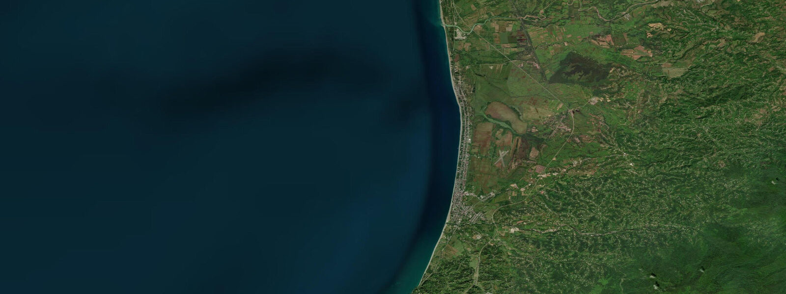
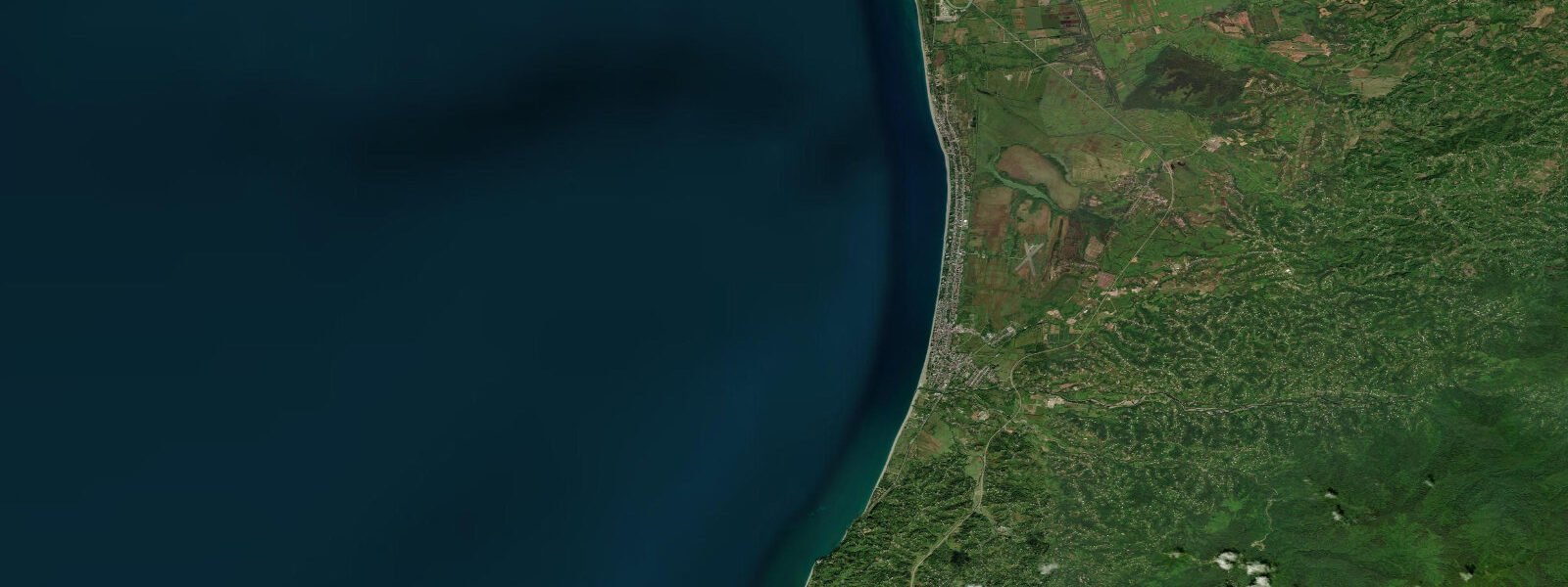
Kobuleti is a Black Sea resort town 30 km north of Batumi in the Adjara region of Georgia, sitting at the point where the lush subtropical lowland of the Colchis plain meets the Georgian coastline. The town stretches for several kilometres along a wide gravel and sand beach backed by a pine forest planted in the Soviet era as a windbreak and sanatorium zone. Several Soviet-era holiday resorts still operate here alongside newer Georgian and Turkish-invested hotels, giving the seafront a mix of mid-century architecture and contemporary construction.
The Black Sea has no significant tide. The astronomical tidal range at Kobuleti is under 0.1 m — so close to zero that even sensitive instruments struggle to separate the tidal signal from the noise of wind-driven and barometric water level changes. What governs the waterline here is the seiching of the Black Sea (a standing wave oscillation driven by weather systems), local wind setup, and seasonal river runoff from the Rioni and Kintrishi rivers to the north. A strong northwest wind building across the Black Sea can push water southward, raising coastal levels 0.5–1 m above the baseline within hours. Tide predictions on this site use Open-Meteo Marine; standard accuracy figures apply (±45 minutes on timing, ±0.2–0.3 m on height), but in this near-tideless environment the sea state and wind components are operationally more relevant than the tidal height prediction.
The beach at Kobuleti is wide and openly accessible with no barriers. The northern section near the Kintrishi river mouth is quieter and backs onto the pine forest protection zone; the central and southern sections carry more seasonal infrastructure — sun beds, small cafes, changing rooms. The sand and gravel mix changes with each storm cycle — after strong northwest swell the beach profile steepens noticeably and the gravel redistributes across the upper strand.
The Kintrishi Protected Area, accessed from the northern outskirts and running inland into the Caucasus foothills, begins effectively at the coast. The river mouth creates a small lagoon area — Kobuleti Nature Reserve — that hosts migratory waterfowl (waders, ducks, and occasional pelicans during spring migration) and the rare Colchic peat bog plant community on the landward side of the dunes. The reserve is formally designated as a Ramsar Wetland and covers around 1,900 hectares. Access to the lagoon interior is managed; the beach adjacent to the northern edge is freely accessible.
For swimmers and beachgoers, Kobuleti's water temperature reaches 24–26°C in July and August, with the sea warming earlier in the season than the Batumi urban coast due to orientation and reduced urban runoff. The beach entry is gentle — no abrupt drops — and the wave height during settled summer weather is typically under 0.5 m. A fresh northwest sea builds quickly when summer high pressure breaks down, usually with 30–60 minutes of visible warning on the horizon.
Fishers targeting Black Sea bluefish (lufar) and horse mackerel work the beach in evenings during the summer run, casting heavy lures from the upper beach into the small-wave zone. The Kintrishi river mouth produces mullet accessible from the bank. Carp and bream are taken from the margins of the coastal lagoon, but reserve regulations restrict which bank sections are accessible.
Kobuleti is 35 minutes by marshrutka (shared minibus) from Batumi central bus station, running continuously from early morning. The mainline railway has a Kobuleti station with connections to Tbilisi (about 5 hours) and Batumi (30 minutes). Tourist infrastructure is less developed than Batumi but prices are lower and the beach is less crowded — a practical choice for families wanting beach time without the resort-town noise. The subtropical climate means that even October sees temperatures in the low 20s and the sea remains swimmable into November, well past the end of the Batumi hotel season.
Tide questions about Kobuleti, Georgia
Quick answers to the most common questions about tide times, range, and water access at Kobuleti, Georgia.
Is there a tide at Kobuleti?
The Black Sea has no significant astronomical tide — the tidal range at Kobuleti is under 0.1 m and cannot be seen against normal weather-driven water level variation. What moves the waterline here is the Black Sea seiche (a basin-scale oscillation), wind setup from sustained northwest winds, and seasonal differences in sea level related to river runoff from the major rivers north of Kobuleti. For practical planning — whether to swim, launch a kayak, or fish from the beach — the relevant inputs are the wind forecast and the swell height, not the predicted tide height. Open-Meteo Marine data on this site gives sea state context.
What is the sea temperature at Kobuleti?
The Black Sea off Kobuleti warms to 24–26°C in July and August, with the swimming season running effectively from mid-June to late September. In June the water is around 20–22°C — comfortable for most swimmers. Winter sees surface temperatures drop to 8–10°C off the Georgian coast. The Black Sea has a permanent halocline (saltwater layer boundary) below around 150–200 m, but the shallow coastal water at Kobuleti warms fully in summer. Thermoclines develop from June onward — the surface is warm but temperatures drop sharply below 15–20 m depth.
What is the Kobuleti Nature Reserve?
Kobuleti Nature Reserve is a designated Ramsar Wetland covering the Kintrishi river mouth and coastal lagoon area north of the town, approximately 1,900 hectares in total. The reserve protects one of the last remaining Colchic peat bog habitats in Georgia — a relict ecosystem associated with the ancient Colchis plain — along with dune and beach vegetation. It is an important stopover for migratory birds in spring and autumn, including pelicans, herons, and wading birds. Access to the reserve interior is managed; the beach adjacent to the northern edge is accessible without permit. Contact the reserve administration in Kobuleti for guided access to the lagoon.
Can I fish at Kobuleti?
Shore fishing along the Kobuleti beach targets Black Sea bluefish (lufar) and horse mackerel, particularly during summer evening runs when these pelagic species move close inshore. Cast heavy spinners or metal lures from the upper beach into the small-wave zone. The Kintrishi river mouth produces mullet on bread flake or soft plastic. Carp and bream are accessible from the margins of the coastal lagoon where reserve rules permit bank access. Georgian fishing regulations require a licence for freshwater and some brackish water fishing — available online via the Environment Agency of Georgia portal.
How do I get from Tbilisi to Kobuleti?
The train from Tbilisi central station to Kobuleti takes approximately 5 hours; trains run once or twice daily and can be booked through the Georgian Railways website. By road, the A306 via Kutaisi takes 4.5–5 hours depending on traffic. Marshrutkas (shared minibuses) from Tbilisi's Didube bus terminal run to Batumi with a transfer to the local Batumi–Kobuleti marshrutka (35 minutes). Kobuleti station has direct rail connections to Batumi (30 minutes) and to Tbilisi. The town's main street and beach are both a short walk from the station.
8-day tide table — Kobuleti, Georgia
Heights relative to MSL. Predictions: Open-Meteo Marine (MeteoFrance SMOC, 0.08° grid) — heights relative to MSL (not chart datum / LAT). Model-derived.
| Day | Type | Time | Height |
|---|---|---|---|
| Sat 04 Jul | High | 04:00 | -0.4m |
| Sun 05 Jul | — | ||
| Mon 06 Jul | Low | 21:00 | -0.4m |
| Tue 07 Jul | — | ||
| Wed 08 Jul | — | ||
| Thu 09 Jul | — | ||
| Fri 10 Jul | — | ||
| Sat 11 Jul | High | 03:00 | -0.4m |