Kobuleti tide times
Kobuleti tide forecast — heights relative to MSL.
Today's tide times for Kobuleti
Tide times at Kobuleti on Saturday, 27 June 2026: first low tide at 04:00pm. Sunrise 05:39am, sunset 08:51pm.
Tide chart for Kobuleti
24-hour cosine-interpolated curve around the present moment. Heights relative to MSL. Predictions: Predictions: Open-Meteo Marine (MeteoFrance SMOC, 0.08° grid).
Sun, moon and conditions on Sat 27 Jun
Snapshot at build time — refreshes daily. Sea state from Open-Meteo Marine.
Highs and lows next 7 days
Every predicted high and low for the next week, with the daily tidal coefficient (0–120; higher = bigger swing, > 95 means stronger currents).
Other spots nearby
The three closest curated TideTurtle locations to Kobuleti, measured by great-circle distance.
Today's solunar windows
Solunar tradition: major periods are the ≈3h windows around moon transit and opposition; minor are ≈2h around moonrise and moonset. Pair with the local tide stage and wind for the best read.
About tides at Kobuleti
A short guide to the coastline at Kobuleti — geography, sea state, and what the tide is actually doing under your feet.
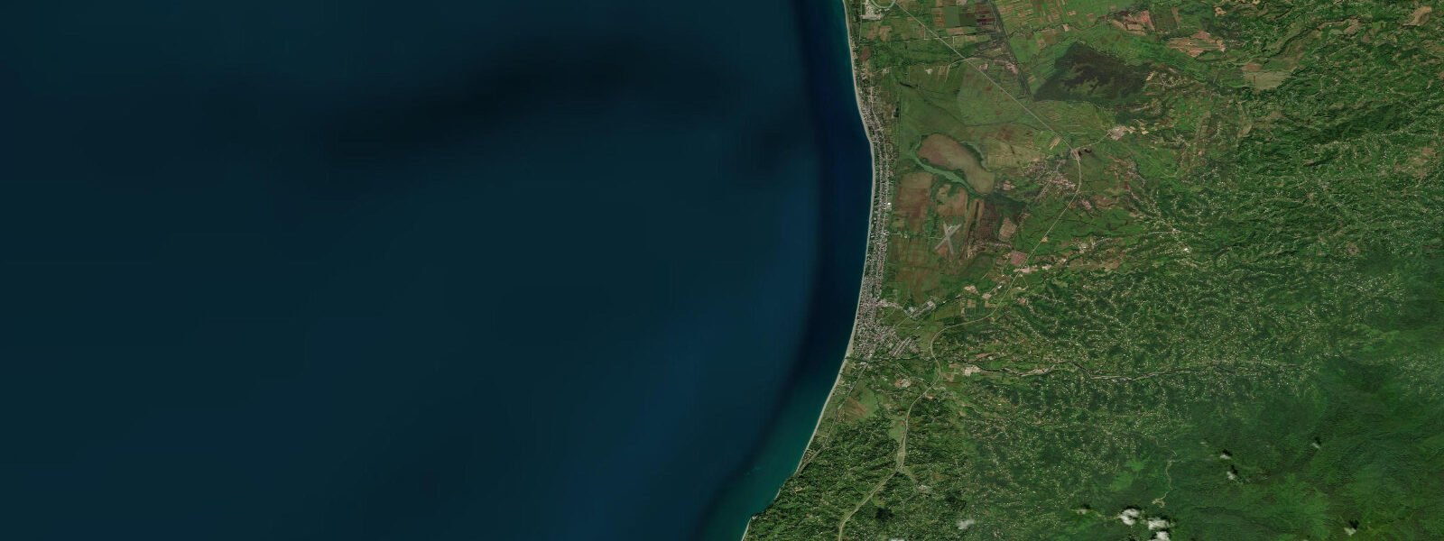
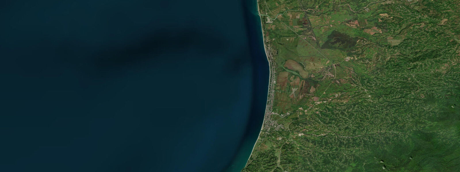
Kobuleti is the quieter alternative to Batumi on Georgia's Black Sea coast: a resort town of 14,000 permanent residents on a narrow sand-and-pebble spit 20 km north of Batumi, where the beach runs straight for 8 km with the sea on one side and a lagoon system on the other. The town has a lower-key character than the tower-studded Batumi Boulevard — more guesthouses and pine trees than casinos and Ferris wheels. The beach is wider than Batumi's at most points, and the lagoon behind the spit (Kobuleti Nature Reserve) protects a wetland system with reed beds, open water, and migratory bird habitat.
As with all of the Georgian Black Sea coast, the astronomical tide at Kobuleti is under 10 cm. Water level is controlled by wind and atmospheric pressure. An onshore southwesterly pushes 20–30 cm of water against the beach; an offshore northeasterly can drain an equivalent amount and leave the usual wave-wash line 15–20 cm lower than expected. The beach here is somewhat different in character from Batumi: the sand fraction is higher (though still mixed with pebbles), and the gradient is slightly gentler — the wave break is 5–8 m from the waterline in calm conditions rather than right at shore.
For families, Kobuleti's beach is more forgiving than Batumi's. The gentler gradient means children have more room to wade in shallow water before reaching swimming depth. On calm-weather days, 1.0 m depth is reached at about 20–25 m from the waterline — manageable for supervised children. When southwesterly winds build chop and the wave height exceeds 0.5 m, the steep inner face of the beach rebounds waves and creates confused water that is uncomfortable for children; the session should end.
For stand-up paddleboarding, Kobuleti offers the long, uninterrupted beach fetch that makes flat-water training straightforward when wind is light. Rentals are available from the central beach strip in July and August. The absence of significant harbour infrastructure means no shipping traffic on the beach front — the water is open to the horizon. The wind-driven water level oscillations that characterise this coast create one practical issue for paddleboarders: when an onshore wind builds during a session, the wading depth for re-launching increases and the landing is more energetic. Plan sessions for the morning, when the sea breeze has not yet developed.
For anglers, Kobuleti's combination of open beach and the lagoon reserve gives two distinct habitats. From the beach, horse mackerel and bluefish (during autumn runs) are accessible by spinning from the sand. The lagoon behind the spit is a different environment: grey mullet, carp, and the occasional sea bass enter through the connecting channels in summer. Fishing in the Kobuleti Nature Reserve requires a permit from the reserve administration; the beach-face fishing needs no permit.
Birdwatchers and nature photographers will find the Kobuleti Nature Reserve one of the better coastal wetland sites on the eastern Black Sea. The reserve protects reed-bed habitat and open lagoon used by wintering waterfowl and passage migrants. Dalmatian pelicans, white pelicans, and a range of herons and egrets use the lagoon. Autumn migration (September–October) and spring migration (March–April) are the peak periods. The pine and alder forest behind the beach was historically broader — much of it was cleared for resort construction — but the reserve protects the remaining core.
For photographers, the 8-km straight beach provides an excellent sunrise platform: the beach faces almost due west, meaning morning light comes from behind, illuminating the sea surface and the waves. The lagoon edge at the north end of the reserve has the best wildlife light in the late afternoon.
All tide predictions for Kobuleti come from the Open-Meteo Marine gridded model. Timing accuracy is ±45 minutes; height accuracy is ±0.3 m above Chart Datum. The astronomical tidal signal at Kobuleti is under 10 cm — within the model's own uncertainty. Wind is the dominant water-level driver.
Tide questions about Kobuleti
Quick answers to the most common questions about tide times, range, and water access at Kobuleti.
How does Kobuleti beach compare to Batumi for families with young children?
Kobuleti has a slightly gentler beach gradient than Batumi and a higher sand fraction in the beach material, making it more comfortable for children. At 20–25 m from the waterline in calm conditions, depth reaches about 1.0 m — suitable for supervised young swimmers. The wave break in calm weather is 5–8 m from shore, giving more warning time than Batumi's steeper beach face. When southwesterly wind builds wave height above 0.5 m, the reflected wave energy from the beach face creates confused, churning shorebreak that is uncomfortable for children and the session should end. No significant tidal variation affects planning here — water level is weather-driven.
What wildlife can visitors see at Kobuleti Nature Reserve?
The Kobuleti Nature Reserve protects a coastal lagoon and reed-bed system behind the beach spit. Dalmatian pelicans and great white pelicans use the open lagoon water; grey herons, great white egrets, and little egrets are resident. Peak birdwatching is during autumn migration (September–October) and spring migration (March–April), when passage waders, terns, and raptors move through. The reserve's forest buffer zone holds green woodpeckers and various warblers. A permit is required to enter the reserve interior; contact the Kobuleti Reserve administration. Water level in the lagoon responds to wind-driven Black Sea oscillations through the connecting channels — a 20–30 cm rise in sea level pushes water into the lagoon, temporarily flooding the reed margins.
Is fishing permitted at Kobuleti and what species are available?
Fishing from the open beach at Kobuleti requires no permit and is unrestricted. Horse mackerel are available year-round by spinning from the sand. Bluefish arrive in September–October during their southward migration run — the same event that draws anglers to Batumi. Fishing within the Kobuleti Nature Reserve (the lagoon and its channels) requires a permit from the reserve administration; within the reserve, grey mullet, carp, and occasional sea bass are the main species. The lack of tidal variation means that water-level timing has no bearing on fishing strategy here; time sessions around weather and fish movement rather than tidal phase.
Can visitors paddleboard at Kobuleti and when is the best time?
Stand-up paddleboard rentals are available on Kobuleti's central beach strip in July and August. The long, uninterrupted beach provides ideal flat-water training in light winds. Morning sessions before 10:00 are best: the sea breeze typically builds from the southwest through the morning, creating increasing chop that makes paddleboarding less comfortable and re-launching from the beach more energetic. The absence of harbour infrastructure means no shipping or boat traffic on the beach face. Black Sea wind-driven water level oscillations do not create significant current along this coast; the practical concern is surface chop rather than any tidal current.
What is the water temperature at Kobuleti and when is swimming season?
Kobuleti's Black Sea surface temperature closely follows the Batumi curve: 8–10 °C in February, 18 °C in May, peaking at 26–28 °C in late July and August, cooling to 24 °C in September and 19 °C in October. The swimming season runs from mid-June through September. Upwelling events driven by persistent offshore winds can drop nearshore temperature by 4–6 °C within 24 hours at any point in summer — a common feature of the eastern Black Sea coast. Unlike Poti, there is no river discharge at Kobuleti to create a persistent cold freshwater plume, so temperature surprises here are wind-driven rather than river-driven.
8-day tide table — Kobuleti
Heights relative to MSL. Predictions: Open-Meteo Marine (MeteoFrance SMOC, 0.08° grid) — heights relative to MSL (not chart datum / LAT). Model-derived.
| Day | Type | Time | Height |
|---|---|---|---|
| Sat 27 Jun | Low | 16:00 | -0.5m |
| Sun 28 Jun | High | 09:00 | -0.4m |
| Mon 29 Jun | Low | 17:00 | -0.5m |
| Tue 30 Jun | — | ||
| Wed 01 Jul | — | ||
| Thu 02 Jul | High | 01:00 | -0.4m |
| Fri 03 Jul | — | ||
| Sat 04 Jul | Low | 03:00 | -0.4m |