Batumi tide times
Batumi tide forecast — heights relative to MSL.
Today's tide times for Batumi
Tide times at Batumi on Saturday, 27 June 2026: first low tide at 04:00am, first high tide at 08:00am. Sunrise 05:40am, sunset 08:51pm.
Tide chart for Batumi
24-hour cosine-interpolated curve around the present moment. Heights relative to MSL. Predictions: Predictions: Open-Meteo Marine (MeteoFrance SMOC, 0.08° grid).
Sun, moon and conditions on Sat 27 Jun
Snapshot at build time — refreshes daily. Sea state from Open-Meteo Marine.
Highs and lows next 7 days
Every predicted high and low for the next week, with the daily tidal coefficient (0–120; higher = bigger swing, > 95 means stronger currents).
Other spots nearby
The three closest curated TideTurtle locations to Batumi, measured by great-circle distance.
Today's solunar windows
Solunar tradition: major periods are the ≈3h windows around moon transit and opposition; minor are ≈2h around moonrise and moonset. Pair with the local tide stage and wind for the best read.
About tides at Batumi
A short guide to the coastline at Batumi — geography, sea state, and what the tide is actually doing under your feet.
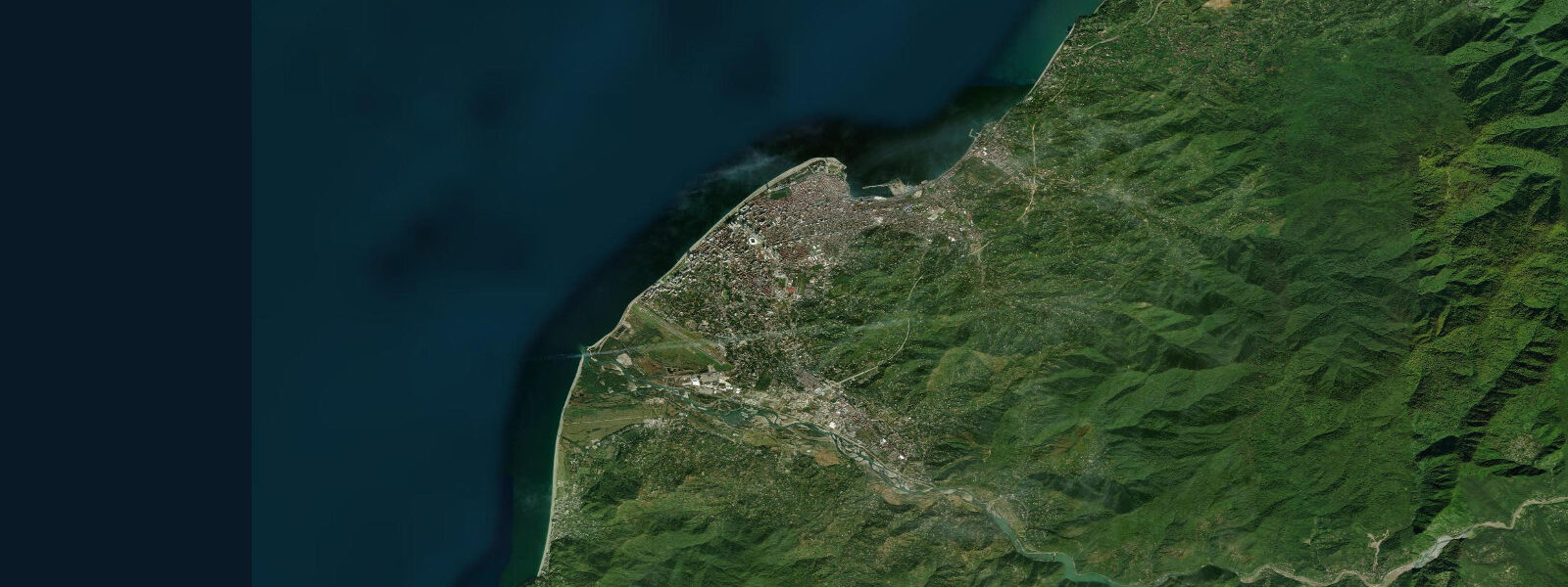
Batumi sits at the southern edge of Georgia's Black Sea coast, 15 km from the Turkish border, and it has spent the last two decades reinventing itself from a Soviet-era port into a subtropical resort and commercial hub. The city's waterfront Boulevard stretches 7 km along a wide pebble-and-grey-sand beach. Palm trees, a Ferris wheel, modern glass towers, and the towers of a refinery stack coexist in a skyline that is distinctly unlike anywhere else in Europe or the Caucasus. The sea temperature peaks at 26–28 °C in August; the subtropical climate means Batumi receives over 2,400 mm of rain per year — the wettest city in the former Soviet Union, and the only one where you can pick subtropical fruit off street trees.
Water level at Batumi is not governed by astronomical tides in any meaningful sense. The Black Sea is nearly landlocked, connected to the Mediterranean only through the Bosphorus and Dardanelles straits — a hydraulic connection so restricted that the gravitational tide signal is dampened to under 10 cm. The dominant water-level driver is wind. A sustained onshore southwesterly — the prevailing direction in Batumi — pushes 20–30 cm of water against the shore. An offshore wind of similar strength drains an equivalent amount. These oscillations can develop over hours and persist for days, entirely independent of the lunar cycle.
For swimmers and beach users at Batumi, the practical implication is that "high water" and "low water" are weather-dependent rather than predictable from a tide table. On a calm day, the water level is close to the long-term mean. On a day with a 20 km/h onshore wind, the waves are bigger and the waterline may be 15–20 cm higher up the beach. The pebble beach absorbs wave energy efficiently — the steep beach face means that even in moderate swells, the break is close to shore and backwash can be strong. Children and non-swimmers should stay well above the wave break line during any onshore wind.
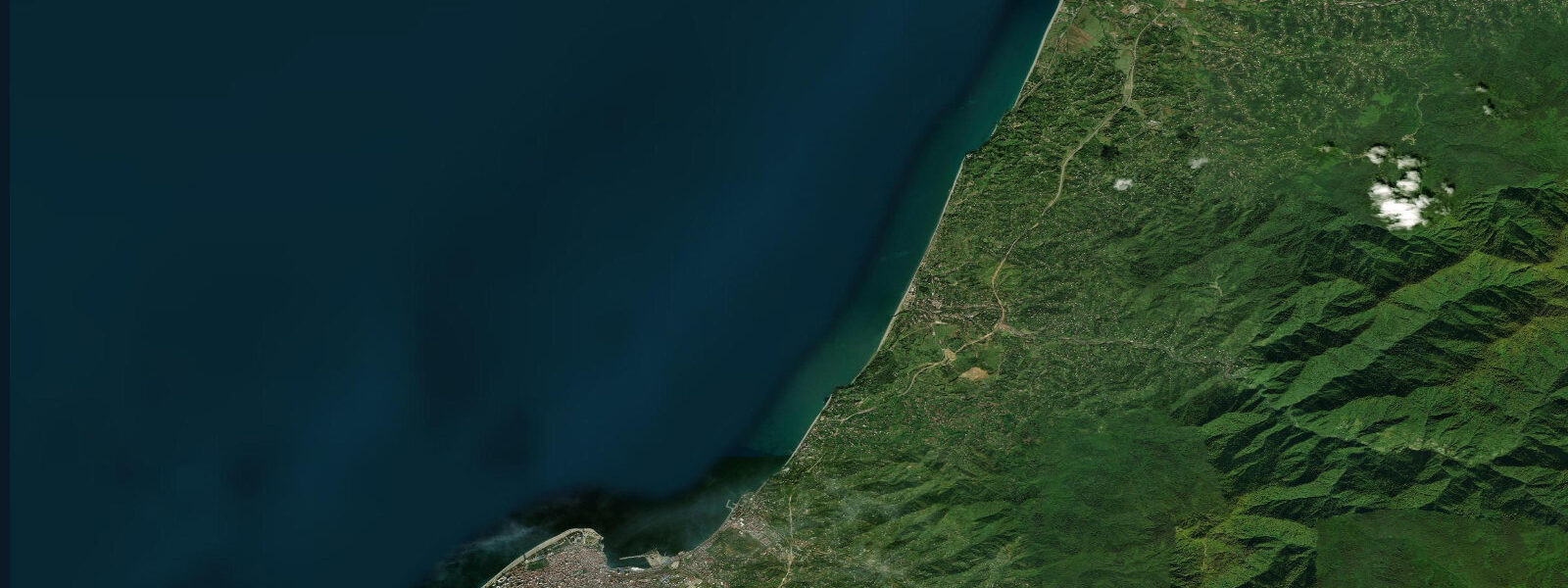
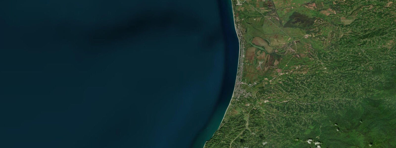
For the leisure paddler and sea kayaker, the Batumi coast offers a long, open fetch with the Turkish border to the south as a practical limit. The coast north of Batumi to Kobuleti (20 km) is low-lying, sandy to gravelly, with no major headlands to create complex current patterns. Kayakers doing the coastal run north should monitor the weather forecast carefully: the Black Sea can generate 2–3 m swells within a few hours of a wind shift, and there is limited shelter along this section of coast. The new Batumi Marina, completed in 2020, provides secure launch facilities and can accommodate visiting vessels up to 25 m.
Anglers at Batumi target species that favour the thermal stratification of the Black Sea: bluefish (lufer in Georgian), horse mackerel, and flounder near the bottom. Bluefish runs are the event anglers wait for: typically September–October, when large schools move south along the Georgian coast in pursuit of sprat and anchovy. During a bluefish run, catches of 20–30 fish per session from the city's south pier are not unusual. The pier at Batumi's commercial port breakwater is the standard fishing platform; access is public on the outer section. Water-level oscillations have little direct effect on the fishing: bluefish school in the upper 3–5 m of the water column and respond to lure action rather than tidal phase.
For photographers, the Batumi Boulevard at golden hour offers a strikingly diverse range of subjects: the Soviet-era lighthouse, the modern dancing figures sculpture, the palm-lined promenade with the snow-capped Lesser Caucasus visible on clear winter mornings. Sunrise from the south end of the Boulevard looking north gives the full sweep of the city skyline with the Adjaran mountains behind. The harbour cranes on the commercial port at the south end of the city are industrial in character but well-composed against evening sky.
All tide predictions for Batumi come from the Open-Meteo Marine gridded model. Timing accuracy is ±45 minutes; height accuracy is ±0.3 m above Chart Datum. At Batumi, the astronomical tidal signal is under 10 cm — well within the model's stated height uncertainty. Wind-driven water level changes dominate and are not captured by the tide prediction. Check Georgian Hydromet (meteo.gov.ge) wind forecasts for shore-activity planning.
Tide questions about Batumi
Quick answers to the most common questions about tide times, range, and water access at Batumi.
Does Batumi have real tides, and what controls the water level there?
Batumi's astronomical tidal range is under 10 cm — effectively zero. The Black Sea is nearly enclosed, and its connection to the Mediterranean through the Bosphorus and Dardanelles is too narrow to transmit a significant tidal wave. Water level at Batumi is controlled by wind setup and atmospheric pressure. A sustained onshore southwesterly adds 20–30 cm above the long-term mean; an offshore wind removes the same amount. These changes are weather-driven and cannot be predicted from a lunar tide table. The Open-Meteo Marine model generates a tide prediction for Batumi, but the signal is within the model's own height uncertainty of ±0.3 m. Use weather forecasts, not tide tables, to anticipate water level here.
Is the Batumi beach safe for swimming and what conditions should swimmers avoid?
Batumi's pebble-and-coarse-sand beach is generally safe for competent swimmers in calm conditions. The steep beach face means the wave break is close to shore and backwash is strong even in moderate swells. When onshore winds exceed 15–20 km/h, the break increases in energy and the shoreline sweep is significant — children and weak swimmers should stay well above the wave line. There are no rip currents in the conventional sense given the non-tidal character of the coast, but longshore drift during onshore wind events carries swimmers laterally. Lifeguard coverage on the main Boulevard beach runs from June through September.
When is the best time to catch bluefish from Batumi pier?
Bluefish (lufer) runs along the Georgian Black Sea coast typically occur September through October, when large schools migrate south in pursuit of sprat and anchovy. During an active run, fishing from the south pier of Batumi's commercial port breakwater can produce 20–30 fish per session on lures and spoons. The runs are not predictable to a specific date — they follow the baitfish, which follows water temperature gradients. Local anglers monitor sea surface temperature; when the SST drops below 22 °C offshore and baitfish concentrations build, the bluefish follow within days. Wind direction has more effect than water level on fishing conditions here.
Can kayakers paddle from Batumi to Kobuleti along the coast?
The 20-km coastal paddle from Batumi north to Kobuleti is feasible as a full-day trip for experienced sea kayakers. The coast is low-lying with no major shelter if conditions deteriorate. The Black Sea can generate 2–3 m swells within 3–4 hours of a wind shift — faster than on most open ocean coasts due to the enclosed fetch. Plan for an early start, aim to complete the exposed middle section before 11:00, and have an exit plan at the Kobuleti resort beach. The Batumi Marina provides a clean, secure launch point with facilities. Water-level oscillations do not create significant current along this coast; weather is the only planning constraint.
What is the sea temperature at Batumi and when is swimming season?
Batumi's Black Sea surface temperature follows a clear seasonal curve: 8–10 °C in February, rising through 18 °C in May, peaking at 26–28 °C in late July and August, then cooling through September (24 °C) and October (19 °C). The comfortable swimming season runs from mid-June to late September. The subtropical climate means air temperatures are warm from May through October, but the sea lags air temperature by 4–6 weeks. Wind-driven upwelling events in summer — when persistent offshore winds draw cold deep water to the surface — can drop nearshore sea temperatures by 4–6 °C within 24 hours; these are short-lived but can make a mid-summer swim unexpectedly cold.
8-day tide table — Batumi
Heights relative to MSL. Predictions: Open-Meteo Marine (MeteoFrance SMOC, 0.08° grid) — heights relative to MSL (not chart datum / LAT). Model-derived.
| Day | Type | Time | Height |
|---|---|---|---|
| Sat 27 Jun | Low | 04:00 | -0.4m |
| High | 08:00 | -0.4m | |
| Sun 28 Jun | Low | 16:00 | -0.5m |
| Mon 29 Jun | — | ||
| Tue 30 Jun | — | ||
| Wed 01 Jul | — | ||
| Thu 02 Jul | High | 12:00 | -0.3m |
| Low | 19:00 | -0.4m | |
| Fri 03 Jul | High | 12:00 | -0.4m |
| Sat 04 Jul | Low | 03:00 | -0.4m |