Banjul tide times
Banjul tide forecast — heights relative to MSL.
Today's tide times for Banjul
Tide times at Banjul on Saturday, 27 June 2026: first low tide at 12:44am, first high tide at 07:12am, second low tide at 01:15pm, second high tide at 07:40pm. Sunrise 06:41am, sunset 07:36pm.
Tide chart for Banjul
24-hour cosine-interpolated curve around the present moment. Heights relative to MSL. Predictions: Predictions: Open-Meteo Marine (MeteoFrance SMOC, 0.08° grid).
Sun, moon and conditions on Sat 27 Jun
Snapshot at build time — refreshes daily. Sea state from Open-Meteo Marine.
Highs and lows next 7 days
Every predicted high and low for the next week, with the daily tidal coefficient (0–120; higher = bigger swing, > 95 means stronger currents).
Other spots nearby
The three closest curated TideTurtle locations to Banjul, measured by great-circle distance.
Today's solunar windows
Solunar tradition: major periods are the ≈3h windows around moon transit and opposition; minor are ≈2h around moonrise and moonset. Pair with the local tide stage and wind for the best read.
Cycle dates near Banjul
Next spring tide on Tue 30 Jun (range 1.4m). Last neap on Sat 27 Jun.
Spring tides cluster around new and full moons (biggest swings). Neap tides land on quarter moons (smallest swings). See the spring tide and neap tide glossary entries for the why.
About tides at Banjul
A short guide to the coastline at Banjul — geography, sea state, and what the tide is actually doing under your feet.
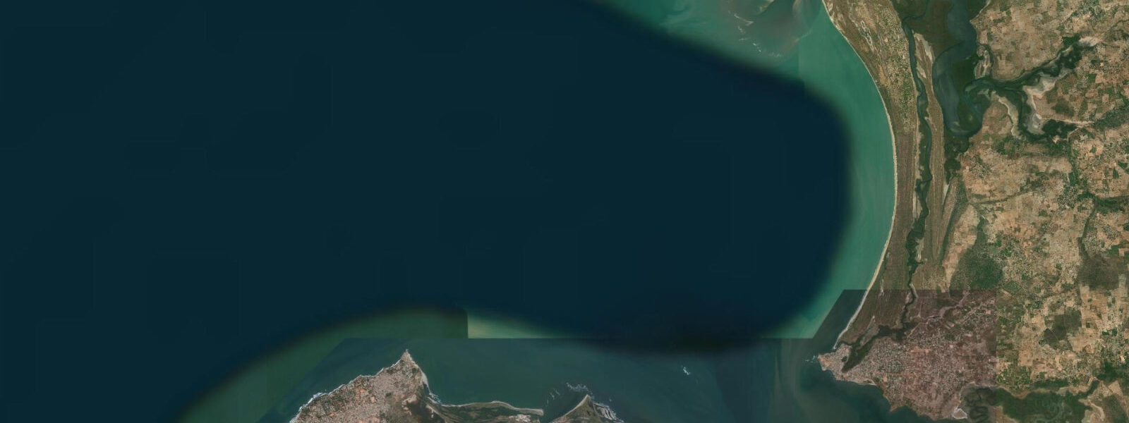
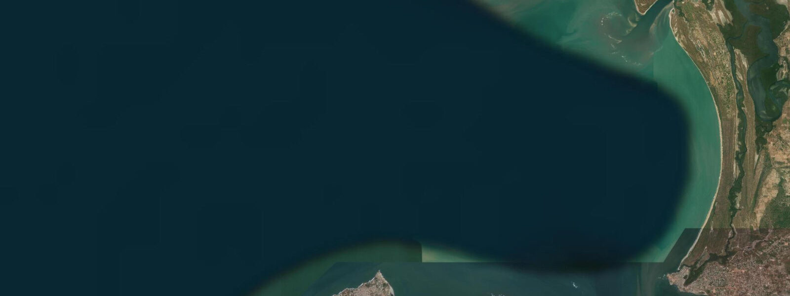
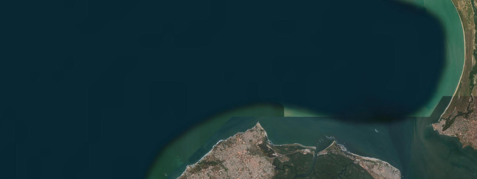
Banjul occupies a low-lying island at the mouth of the Gambia River, the capital of one of Africa's smallest countries and its principal port. The city sits on a sandbar island — St. Mary's Island, as the British named it — with the Gambia River running wide to the north and east and the open Atlantic a short walk to the west and south. Three sides of the city are water, and the tidal regime governs what happens on each of them differently.
At the river mouth, the tidal range is at its most energetic: spring range of approximately 1.8 m, with the semidiurnal cycle driving a strong tidal current between Banjul Point and the Barra shore 4 kilometres to the north. The ebb current in the river mouth runs at 1.5–2.0 knots at peak spring ebb, creating a visible current rip off Banjul Point where the river flow reinforces the astronomical ebb. The Banjul–Barra ferry crosses this current on every run — the most heavily used river crossing in West Africa, carrying vehicles and passengers to the north bank throughout the day. Ferry captains time the approach to Barra on the ebb by steering well upstream and allowing the current to set them onto the Barra ramp; crossing against a spring ebb with a head wind is noticeably slower than the same trip on the flood.
The fish market adjacent to the ferry terminal is the primary early-morning hub of the city's fishing economy. The pirogue fleet — traditional wooden dugout canoes powered by outboard motors, typically 8–14 metres — goes out on the evening ebb and returns on the early flood. The timing is not incidental: the flood current from the river mouth runs in the same direction as the boats' return course, and landing a pirogue through the Atlantic beach break is easier on a rising tide when the wave energy over the bar is more manageable. The market is most active from 05:30 to 08:00, when the returned boats offload their catches of barracuda, bream, and ladyfish directly onto the quayside.
Banjul's Atlantic seafront at the southern end of the city faces south-southwest onto open ocean. The tidal flat here is sandy, with a moderate beach gradient, and the intertidal zone varies 40–60 m in width between high and low spring water. The beach is little used for swimming — the currents off Banjul Point and the proximity to the working harbour make the Bakau and Kololi beaches 8–12 km to the west the preferred swimming destinations. The Banjul waterfront is a working coast: a port for coasters and deep-sea fishing vessels, a ferry terminal, and the base for most of the country's inter-island and coastal trade.
For photographers, the morning return of the pirogue fleet is Banjul's signature image: brightly painted wooden boats entering the river mouth on the flood, with the low Barra shore in the background and the light coming from the northeast. The best window is 06:00–07:30 in the October–April dry season when the harmattan haze is at its minimum and the light is clean. The fish market itself — activity, colour, commerce — is at its peak intensity in the same window. Permission to photograph in the market area is generally extended readily; a small purchase from the market vendors is the appropriate courtesy.
Anglers working the Banjul waterfront target barracuda and jack species from the ferry terminal jetty and the rocky seawall sections around Banjul Point. The ebb current creates current lines off the point that concentrate prey fish in the channel — the productive shore-fishing window is the two hours centred on the peak ebb. Boat anglers using the river mouth and offshore Atlantic waters target barracuda, wahoo, and the pelagic species that move through the Gambia River outflow plume. The plume of relatively fresh, turbid water extends 5–10 km offshore at peak ebb and acts as a feeding aggregation for predator species.
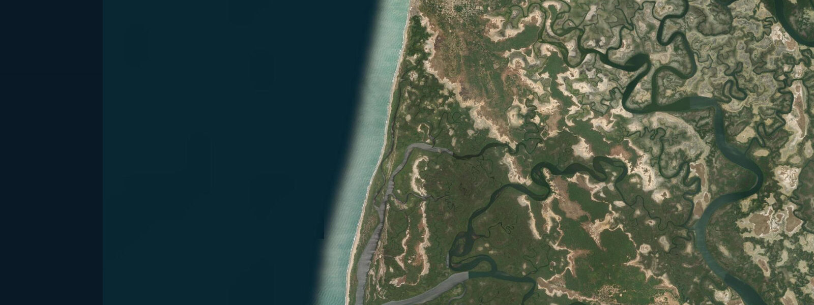
Bird watching begins from the city itself: the mangrove fringes along the south and east sides of St. Mary's Island hold kingfishers, herons, and egrets at any tidal stage, with the greatest activity during the low-water exposure of the tidal mudflats. Pelicans work the river mouth on the current rip off Banjul Point throughout the day; ospreys and fish eagles are resident on the mangrove edge.
All tide predictions for Banjul come from the Open-Meteo Marine gridded model. Timing accuracy is ±45 minutes; height accuracy is ±0.3 m above Chart Datum.
Tide questions about Banjul
Quick answers to the most common questions about tide times, range, and water access at Banjul.
What is the tidal range at Banjul and how does it affect the Banjul–Barra ferry?
Banjul's spring tidal range is approximately 1.8 m at the Gambia River mouth, semidiurnal. The ebb current in the river mouth runs 1.5–2.0 knots at peak spring ebb, which the Banjul–Barra ferry crosses on every run. Captains steer upstream and allow the ebb to set them onto the Barra ramp when crossing on the ebb; the flood-tide crossing is faster and more direct. Foot passengers on the ferry experience the crossing time difference noticeably on spring days. The narrowest crossing window — highest current velocity — is the 90 minutes centred on peak ebb, roughly 3 hours after high water. Open-Meteo predictions carry ±45 minutes timing and ±0.3 m height uncertainty.
When does the pirogue fishing fleet return to Banjul and why is the fish market busiest then?
The Banjul pirogue fleet departs on the evening ebb and returns on the early morning flood, typically arriving between 05:30 and 08:00. The timing aligns with two practical factors: the flood current from the river mouth runs in the direction of return, reducing fuel consumption; and landing a loaded pirogue through the Atlantic beach break is easier on a rising tide when the wave energy over the entrance bar is lower. The fish market adjacent to the ferry terminal is at peak activity in this same window, with barracuda, bream, and ladyfish being offloaded directly. Arriving at the market before 07:00 gives access to the full range of the catch before wholesalers take the best fish.
Is shore fishing productive at Banjul Point and what tidal stage works best?
Banjul Point is the most productive shore-fishing location in the city. The ebb current creates a visible current rip off the point where river flow and tidal ebb reinforce each other, concentrating prey fish in the current line. The 2 hours centred on peak ebb — approximately 3–4 hours after high water — is the highest-activity window for barracuda and jack species. The rocky seawall sections around the point give good casting access at all tidal stages; the low-water window exposes more rock ledge, increasing useful shoreline by 10–15 m. Boat anglers fishing the river-mouth plume offshore target the same species plus wahoo during the ebb, when the turbid freshwater plume extends 5–10 km into the Atlantic.
Where are the best bird-watching spots around Banjul and when is the best time to visit?
The mangrove fringes along the south and east shores of St. Mary's Island are the most accessible bird-watching sites from Banjul city. Low-water exposures of the tidal mudflats concentrate herons, egrets, and kingfishers. The Banjul waterfront and the river mouth hold resident pelicans and ospreys year-round. For serious bird watching, the Lamin Lodge mangrove lagoon 15 km southeast of Banjul and the Tanji Bird Reserve 30 km south are the primary sites — both accessible by day trip. The October–April dry season is the peak season, when European winter migrant species substantially increase species counts. Early morning visits (06:00–09:00) before heat and wind build produce the most sightings.
Is it safe to swim at Banjul's Atlantic seafront?
The Banjul Atlantic seafront at the southern end of the city is not recommended for swimming. The proximity to the working port, the tidal current off Banjul Point — which runs 1.5–2.0 knots at peak spring ebb — and the river mouth dynamics create conditions unsuitable for casual swimming. The resort beaches at Bakau (8 km west) and Kololi (12 km west) are the standard swimming destinations for the Banjul area, with lifeguards at some beach sections during the tourist season (October–April). Water temperatures are 25–28°C year-round. All tidal predictions carry ±45 minutes timing and ±0.3 m height uncertainty from the Open-Meteo Marine model.
7-day tide table — Banjul
Heights relative to MSL. Predictions: Open-Meteo Marine (MeteoFrance SMOC, 0.08° grid) — heights relative to MSL (not chart datum / LAT). Model-derived.
| Day | Type | Time | Height |
|---|---|---|---|
| Sat 27 Jun | Low | 00:44 | -0.6m |
| High | 07:12 | 0.6m | |
| Low | 13:15 | -0.6m | |
| High | 19:40 | 0.5m | |
| Sun 28 Jun | Low | 01:26 | -0.6m |
| High | 08:05 | 0.6m | |
| Low | 13:58 | -0.6m | |
| High | 20:19 | 0.5m | |
| Mon 29 Jun | Low | 02:14 | -0.6m |
| High | 08:45 | 0.6m | |
| Low | 14:43 | -0.6m | |
| High | 20:55 | 0.5m | |
| Tue 30 Jun | Low | 03:00 | -0.7m |
| High | 09:19 | 0.7m | |
| Low | 15:26 | -0.6m | |
| High | 21:39 | 0.5m | |
| Wed 01 Jul | Low | 03:39 | -0.6m |
| High | 09:57 | 0.7m | |
| Low | 16:06 | -0.6m | |
| High | 22:00 | 0.5m | |
| Thu 02 Jul | Low | 04:12 | -0.6m |
| Fri 03 Jul | High | 10:56 | 0.8m |