Bakau tide times
Bakau tide forecast — heights relative to MSL.
Today's tide times for Bakau
Tide times at Bakau on Saturday, 27 June 2026: first high tide at 06:58am, first low tide at 01:00pm, second high tide at 07:20pm. Sunrise 06:42am, sunset 07:37pm.
Tide chart for Bakau
24-hour cosine-interpolated curve around the present moment. Heights relative to MSL. Predictions: Predictions: Open-Meteo Marine (MeteoFrance SMOC, 0.08° grid).
Sun, moon and conditions on Sat 27 Jun
Snapshot at build time — refreshes daily. Sea state from Open-Meteo Marine.
Highs and lows next 7 days
Every predicted high and low for the next week, with the daily tidal coefficient (0–120; higher = bigger swing, > 95 means stronger currents).
Other spots nearby
The three closest curated TideTurtle locations to Bakau, measured by great-circle distance.
Today's solunar windows
Solunar tradition: major periods are the ≈3h windows around moon transit and opposition; minor are ≈2h around moonrise and moonset. Pair with the local tide stage and wind for the best read.
Cycle dates near Bakau
Next spring tide on Thu 02 Jul (range 1.3m). Last neap on Sat 27 Jun. Next neap on Fri 03 Jul.
Spring tides cluster around new and full moons (biggest swings). Neap tides land on quarter moons (smallest swings). See the spring tide and neap tide glossary entries for the why.
About tides at Bakau
A short guide to the coastline at Bakau — geography, sea state, and what the tide is actually doing under your feet.
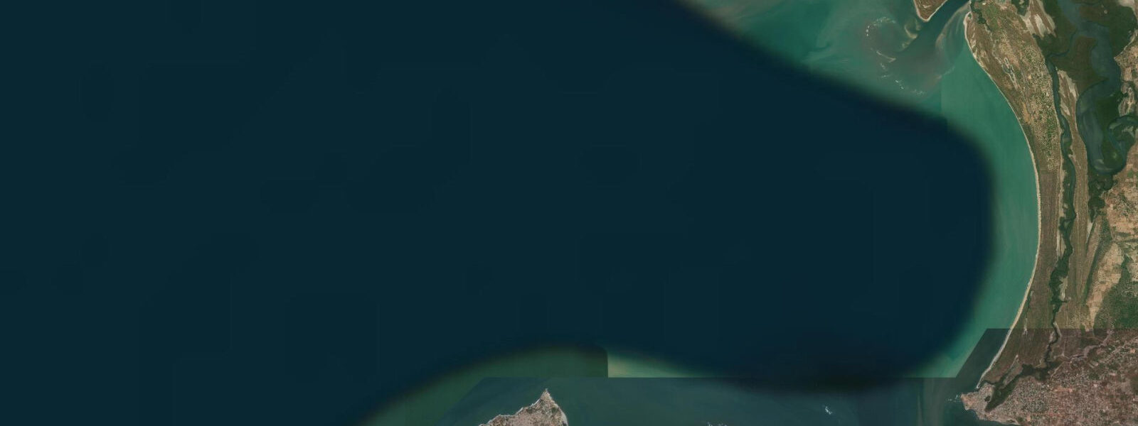
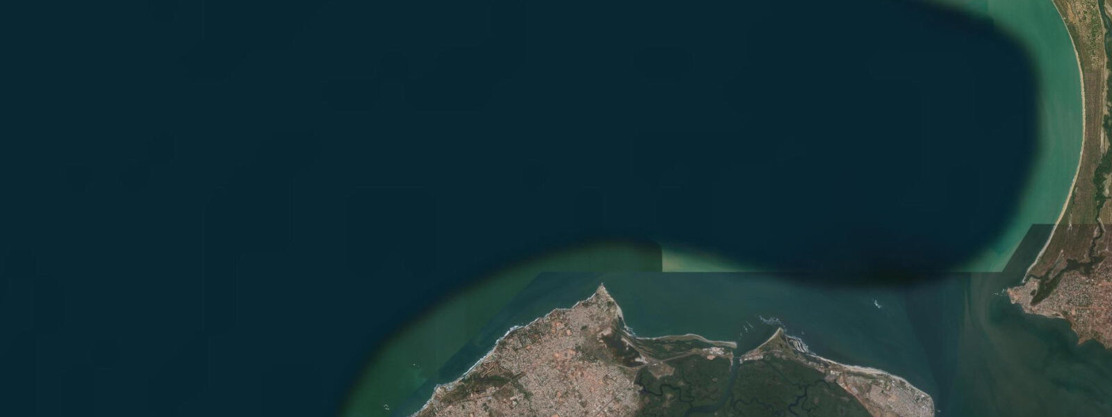
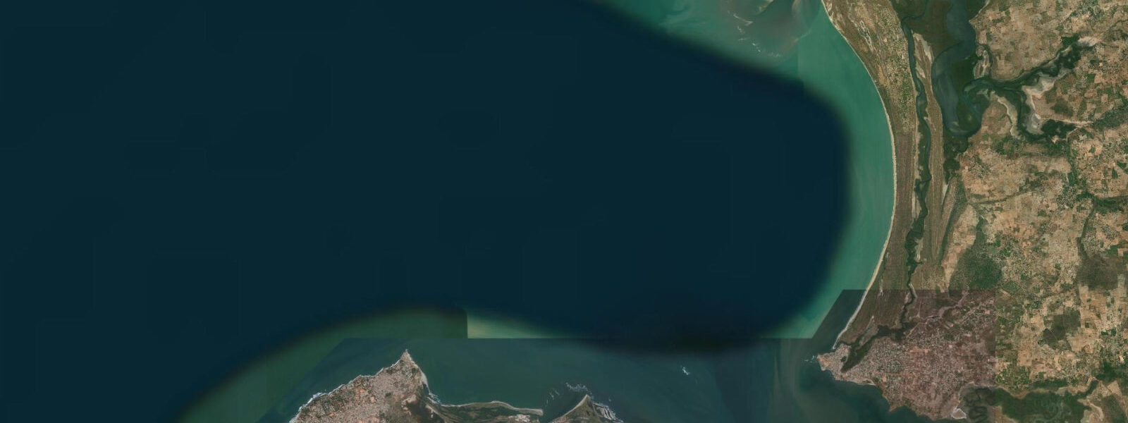
Bakau sits 8 kilometres west of Banjul on the Atlantic coast, a beach suburb that functions as both residential neighbourhood and working fishing community. Cape Point, the rocky headland at Bakau's northwest tip, is the most prominent coastal feature between Banjul and the Senegalese border — a projecting wedge of laterite rock that creates a natural windbreak for the beach immediately to its south and an exposed ocean-facing cliff to its north and west. The view from the cape's clifftop takes in the open Atlantic to the west, the island cluster of the Cape St. Mary lighthouse to the north, and the long sandy beach curving southeast toward Fajara.
The tidal range at Bakau is 1.6–1.8 m on spring tides, semidiurnal. The intertidal zone on the main beach below the cape is sandy and moderately sloped — the beach widens approximately 50–70 m between high and low spring water, exposing a firm sand flat suitable for walking and launching. The two daily tidal cycles are approximately equal in height, with the difference between the higher and lower high water rarely exceeding 0.2 m on this Atlantic-facing coast. The beach gradient here is steeper than the broad flat beaches further south at Kololi, and the Atlantic swell arrives more directly — wave height on the Bakau beach tends to be marginally larger than at sheltered coves further down the coast.
The Cape Point beach below the headland's south face is the primary launching and landing site for Bakau's pirogue fleet. The beach is used rather than a formal harbour because a constructed harbour would silt and require constant dredging in the Atlantic longshore drift environment. Instead, the boats are dragged up the beach on wooden rollers at the end of each trip — a technique unchanged since the first Portuguese navigators noted the practice in the 1450s. The timing of landings is governed partly by tidal state and partly by swell height: a rising mid-tide with a 0.8–1.0 m swell is the preferred landing window. At high spring water, the beach is at its narrowest and the waves land closer to the base of the cape's rocky face, compressing the available landing strip. At low water, the boat has to be dragged further up the flat before it clears the swash zone.
For families and swimmers, the beach between Cape Point and Fajara to the southeast offers the most accessible Atlantic swimming in the greater Banjul area. The water is warmest October through May — 24–27°C — and the swell is most manageable in the April–October period when the Southwest Monsoon wind pattern is absent. Strong longshore currents develop when the Atlantic swell arrives from the northwest during the November–February period; swimming parallel to the shore rather than against any rip is the safest approach. The beach is open, uncrowded outside the peak European tourist season (December–February), and the Cape Point clifftop provides a clear vantage point over the full beach length.
The Cape Point area is a standard stop on organised bird-watching itineraries. The rocky cape and the adjacent scrub hold an unusual mix of coastal and woodland species: pied kingfishers hunt the intertidal zone at all tidal stages; ospreys are regularly perched on the cape rocks from October through April; the shrubby vegetation on the inland side of the cape road holds warblers and sunbirds. The tidal flat exposed at low spring water south of the cape concentrates wading birds — grey herons, little egrets, and common sandpipers are present throughout the year, with migrant wader species swelling the count from September to April.
For photographers, the Cape Point clifftop at sunrise is the primary vantage point — the light comes from behind the shooting position, illuminating the beach, boats, and Atlantic horizon directly. The pirogue landing activity peaks at 06:00–08:00; the low-angle morning light makes the brightly painted hulls (yellows, greens, blues) vivid against the sand. The north face of the cape catches the full west-light at sunset, with wave-impact on the rocks strongest at high spring water.
Anglers fish Cape Point's rocky margins at the lower tidal stages, when the rock ledges and gullies are exposed. Barracuda, snapper, and jack species work the current that wraps around the headland on the ebb. Buying directly from the pirogue landings on the beach is standard practice for local residents.
All tide predictions for Bakau come from the Open-Meteo Marine gridded model. Timing accuracy is ±45 minutes; height accuracy is ±0.3 m above Chart Datum.
Tide questions about Bakau
Quick answers to the most common questions about tide times, range, and water access at Bakau.
Why do the pirogues launch and land at Cape Point beach rather than a proper harbour?
The Atlantic longshore drift along Gambia's coast would silt a constructed harbour entrance within months without expensive continuous dredging. The pirogue fleet uses the beach instead: boats are launched and hauled on wooden rollers, a technique that requires no infrastructure and adapts naturally to the tidal state. The preferred landing window is a rising mid-tide with manageable swell, typically 0.6–0.9 m from the Atlantic. At high spring water the beach narrows and the landing strip compresses; at low water the boats must be hauled further up the flat. The arrangement has been in continuous use since at least the 15th century and the fleet's local knowledge of surf timing is detailed and reliable.
What are the best swimming conditions at Bakau beach and when should families visit?
Bakau beach between Cape Point and Fajara is the best swimming beach in the greater Banjul area. October through May offers water temperatures of 24–27°C. Swell is most manageable April through October; the November–February period can bring larger northwest Atlantic swell with stronger longshore currents. Mid-tide is the most consistent swimming window — high spring water narrows the beach and compresses the wave break zone, while very low water can expose rocky patches on the lower beach. Families should avoid swimming during the 2 hours of peak ebb current off the cape. The beach is uncrowded outside December–February peak tourist season. Open-Meteo predictions carry ±45 minutes and ±0.3 m uncertainty.
What bird species can be seen at Cape Point and what tidal conditions are best?
Cape Point reliably produces pied kingfishers at the tidal zone, ospreys on the cape rocks from October through April, and wading birds on the low-water tidal flat south of the headland. Grey herons, little egrets, and common sandpipers are year-round residents; migrant wader species arrive September through April, peaking November–February. The inland scrub on the cape holds warblers, sunbirds, and raptors. Low spring water is the peak bird-watching state — the exposed tidal flat concentrates feeding waders within close viewing range. Early morning (06:00–09:00) before heat and human activity build gives the most productive window regardless of tidal state.
When is the best time to photograph the pirogue fleet at Cape Point?
The fleet returns from overnight trips between 05:30 and 08:00, making the pre-dawn and early morning hours the only window for active boat-landing photography. The Cape Point clifftop at sunrise gives a top-down view of the beach with the light coming from behind the photographer, illuminating the brightly painted hulls on the sand. The low-water to mid-tide window shows the full beach width and the hauling activity across the widest sand flat. On spring mornings when the fleet lands at near-low water, the drag from waterline to the storage line above the tide mark is at its longest and the collective activity is at its most photogenic. Access to the beach itself is straightforward.
What shore fishing is available at Cape Point and which tidal stage is most productive?
Cape Point's rocky ledges and gullies on its north and west faces are the primary shore-fishing locations. Barracuda, snapper, and jack species work the current that wraps around the headland on the ebb. The ledges are most accessible at low water — at high spring water, wave wash on the exposed north face makes those positions untenable. The 2 hours of peak ebb, centred approximately 3 hours after high water, is the most productive window. The main beach south of the cape gives longer casting range on the flood tide. Buying fish direct from the pirogue landings is the practical alternative; the fleet lands daily.
7-day tide table — Bakau
Heights relative to MSL. Predictions: Open-Meteo Marine (MeteoFrance SMOC, 0.08° grid) — heights relative to MSL (not chart datum / LAT). Model-derived.
| Day | Type | Time | Height |
|---|---|---|---|
| Sat 27 Jun | High | 06:58 | 0.5m |
| Low | 13:00 | -0.5m | |
| High | 19:20 | 0.4m | |
| Sun 28 Jun | Low | 01:11 | -0.6m |
| High | 07:47 | 0.5m | |
| Low | 13:44 | -0.6m | |
| High | 20:00 | 0.5m | |
| Mon 29 Jun | Low | 01:57 | -0.6m |
| High | 20:38 | 0.5m | |
| Tue 30 Jun | Low | 02:43 | -0.6m |
| High | 09:02 | 0.7m | |
| Low | 15:06 | -0.6m | |
| High | 21:23 | 0.5m | |
| Wed 01 Jul | Low | 03:15 | -0.6m |
| High | 09:38 | 0.7m | |
| Low | 15:45 | -0.6m | |
| High | 21:48 | 0.5m | |
| Thu 02 Jul | Low | 03:48 | -0.6m |
| High | 10:12 | 0.8m | |
| Low | 16:26 | -0.5m | |
| High | 22:21 | 0.5m | |
| Fri 03 Jul | Low | 04:21 | -0.5m |
| High | 10:40 | 0.8m | |
| Low | 16:58 | -0.5m | |
| High | 23:00 | 0.5m |