Nice tide times
Nice tide forecast — heights relative to MSL.
Today's tide times for Nice
Tide times at Nice on Friday, 19 June 2026: first high tide at 02:00, first low tide at 18:00. Sunrise 05:48, sunset 21:15.
Tide chart for Nice
24-hour cosine-interpolated curve around the present moment. Heights relative to MSL. Predictions: Predictions: Open-Meteo Marine (MeteoFrance SMOC, 0.08° grid).
Sun, moon and conditions on Fri 19 Jun
Snapshot at build time — refreshes daily. Sea state from Open-Meteo Marine.
Highs and lows next 7 days
Every predicted high and low for the next week, with the daily tidal coefficient (0–120; higher = bigger swing, > 95 means stronger currents).
Other spots nearby
The three closest curated TideTurtle locations to Nice, measured by great-circle distance.

Today's solunar windows
Solunar tradition: major periods are the ≈3h windows around moon transit and opposition; minor are ≈2h around moonrise and moonset. Pair with the local tide stage and wind for the best read.
About tides at Nice
A short guide to the coastline at Nice — geography, sea state, and what the tide is actually doing under your feet.
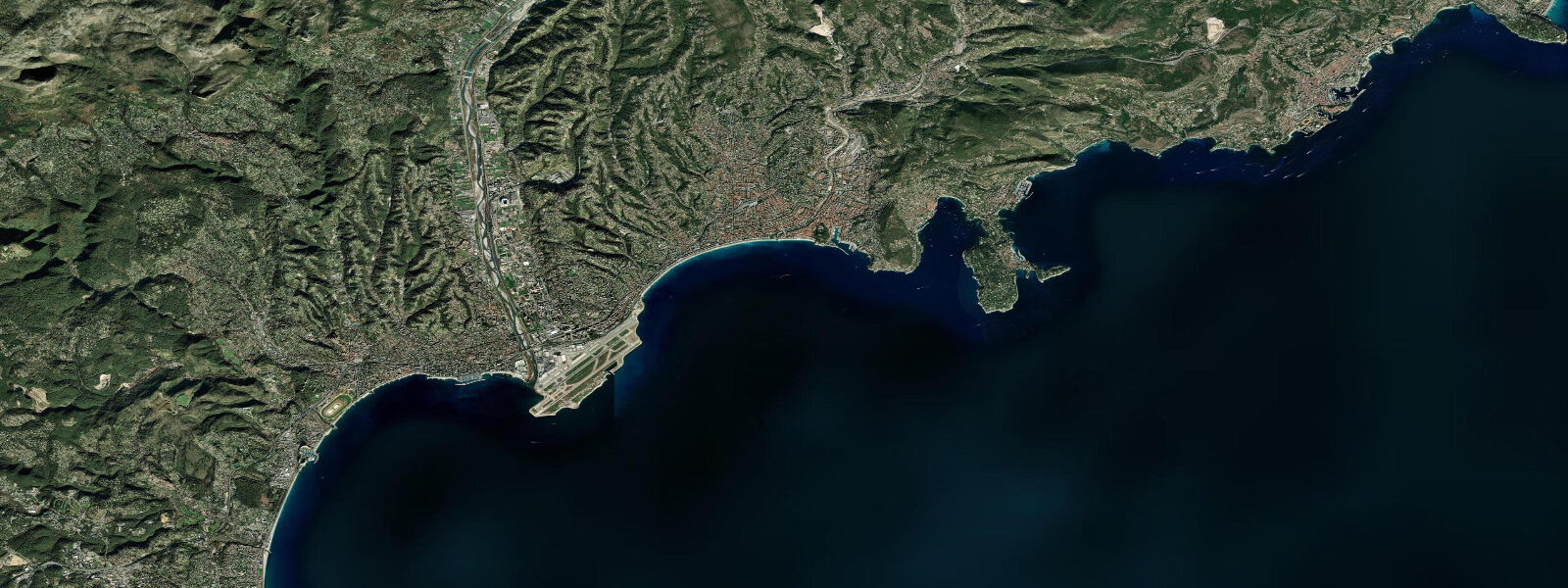
Nice sits at the centre of the Baie des Anges on the French Riviera, with the Promenade des Anglais tracing the full arc of the bay and the Pre-Alps rising sharply behind the city to a ridge that reaches over 1,000 metres just 15 kilometres inland. The Mediterranean at Nice is microtidal. 3 metres — one-quarter of a metre from low to high water.
This is not a rounding error; it is the characteristic tidal regime of the Mediterranean, which is almost entirely enclosed and has only the narrow Gibraltar Strait connecting it to the Atlantic tidal engine. The practical consequence is that water level at Nice is driven primarily by atmospheric pressure and wind rather than the lunar tide. A strong sirocco — the southerly wind from the Sahara — pushes the Mediterranean surface toward the northern coast and can raise the water level at Nice by 20 to 30 centimetres above the astronomical prediction.
A persistent mistral — the cold NW wind that accelerates down the Rhône valley — does the opposite, driving water offshore and lowering the surface. These meteorological surges are the dominant cause of unusually high or low water at Nice, not the tidal cycle. The Promenade des Anglais is a 7-kilometre pedestrian and cycling esplanade backed by the hotels and belle-époque architecture that have defined the Riviera since the British aristocracy built it as their winter promenade in the 1820s.
The beach below the Promenade is shingle (galets) for most of its length — the famous blue chairs and parasols of the private beach concessions alternate with the free public sections. Water entry is steep, depth arrives immediately at the waterline. The Vieux-Port sits at the eastern end of the Promenade, on the sheltered side of the Castle Hill (Colline du Château).
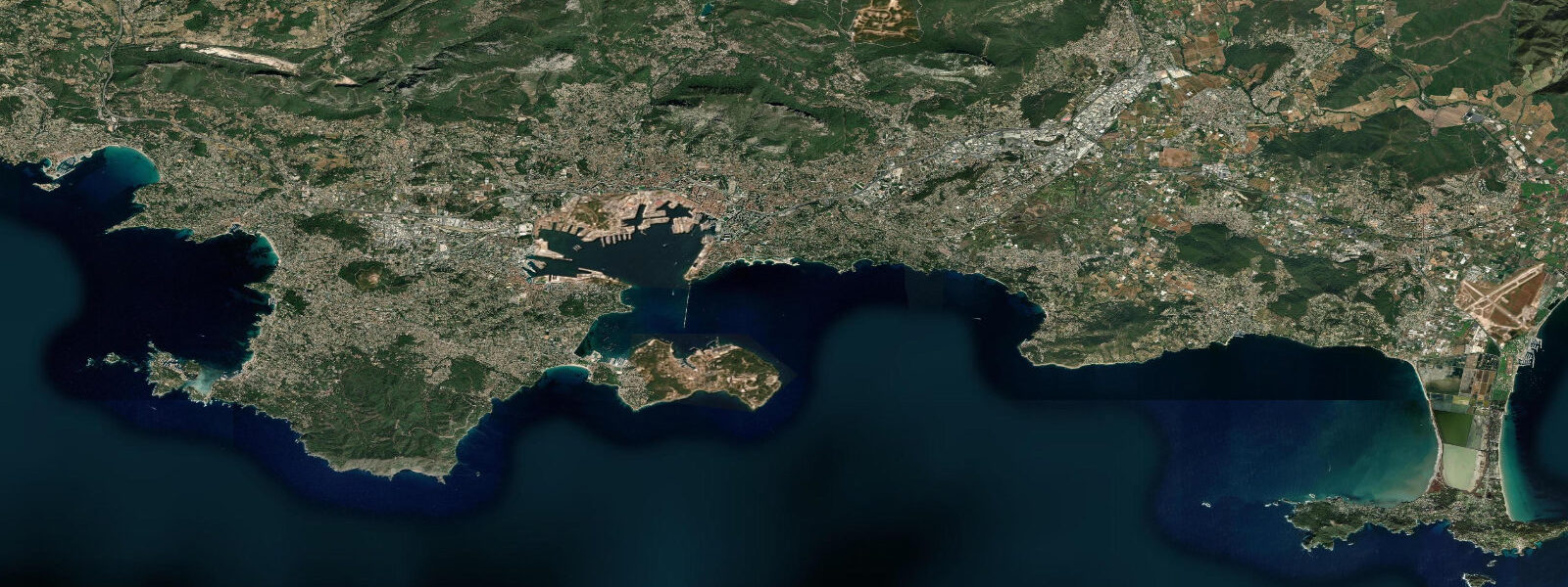
The port is the departure point for ferry services to Corsica and for the vedettes running day trips east to Monaco, Villefranche-sur-Mer, and the Îles de Lérins off Cannes. Villefranche-sur-Mer, 6 kilometres east of Nice, occupies one of the deepest natural harbours on the Mediterranean coast — the submarine canyon (the Vallée de la Nervia canyon axis) descends to 300 metres just 1 kilometre offshore. The steep underwater topography produces a transition from clear, warm surface water to cold deep water at very shallow diving depths, and the reef systems on the canyon walls are among the best dive sites in France.
Diving operators in Villefranche work year-round. October through April, the mistral creates dangerous sea conditions even in the normally sheltered Baie des Anges. Offshore wind sea — short, steep waves on a Mediterranean sea with no tidal current to shape them — builds quickly to conditions unsuitable for swimmers, kayakers, or small craft.
3-metre tidal range is irrelevant to safety planning. What matters is wind direction and the overnight Météo-France coastal forecast. Snorkelling on the rocky reef sections of the Promenade Anglais — particularly around the rocky headlands at either end of the bay — is productive in summer: sea bream, wrasse, octopus, and occasional barracuda on the rocks below the castle.
For Nice, this means visibility rather than tidal timing governs snorkelling quality: Mediterranean water in the Baie des Anges is at its clearest from June through October, and the absence of tidal current means there is no optimal tidal window — the water visibility and the sea state driven by the overnight winds are the only variables that matter. Water temperatures in the Baie des Anges peak at 24 to 26 degrees Celsius in August and September, dropping to 12 to 13 degrees in January and February. The absence of tidal flushing that characterises enclosed seas means winter temperature recovery is slow and the chill lingers into May.
Recreational boat traffic in the bay — sailing, motorboating, jet-ski concessions — is not tide-constrained because the microtidal range creates no navigational limitation. Vessels entering the Vieux-Port or the Port Lympia ferry terminal operate on harbour schedules independent of any tidal consideration. The only water-level event that matters operationally at Nice is a major storm surge, which is rare but can briefly flood the lowest sections of the Promenade.
Predictions on this page come from Open-Meteo Marine, a gridded global ocean model. 3 metres on height — model-derived, not from a local gauge. fr.
Tide questions about Nice
Quick answers to the most common questions about tide times, range, and water access at Nice.
Does the tide affect water levels at Nice?
Very little. Nice is on the Mediterranean, which is a nearly enclosed sea with only the Strait of Gibraltar connecting it to the Atlantic tide. Mean spring tidal range at Nice is approximately 0.3 metres — 30 centimetres from low to high water. The dominant drivers of actual water level variation are atmospheric pressure and wind. A strong sirocco from the south can raise the water surface 20 to 30 centimetres above the astronomical prediction; a mistral blowing offshore can lower it by a similar amount. For most practical purposes — swimming, beach visits, boating — wind state and weather are far more relevant than tidal timing at Nice.
When is the sea rough at Nice, and is it predictable?
The most reliably rough period at Nice is October through April, when mistral events — cold NW wind accelerating down the Rhône valley — generate wind sea in the Baie des Anges. The mistral can produce significant wave heights of 2 to 3 metres even in a normally sheltered bay within hours of onset. The sirocco, blowing from the south or southeast, can also create rough conditions on the eastern side of the bay. Both winds are forecast by Météo-France with reasonable accuracy 24 to 48 hours ahead. The Météo-France coastal marine forecast (BRAM) for the Côte d'Azur is the primary planning reference for water activities. There is no tidal component to sea state at Nice — the 0.3-metre tidal range is irrelevant.
What diving and snorkelling is available near Nice?
Snorkelling on the rocky sections of the bay — particularly around the rocky headlands near the Castle Hill and the natural reef sections of the Promenade — is productive in summer. Species include sea bream, wrasse, octopus, and occasional barracuda. Diving operators in Nice and Villefranche-sur-Mer offer reef diving year-round. Villefranche is the standout site locally: a deep submarine canyon descends to 300 metres just 1 kilometre offshore, with wall dives starting at 10 metres and running to recreational and technical depths. Water clarity on the Côte d'Azur is generally good year-round given the lack of major river input and the absence of tidal mixing. Best visibility is typically June through October.
Is the shingle beach at Nice safe for swimming?
Nice's beaches are shingle (galets) rather than sand, which means the beach shelves steeply and depth is reached immediately at the water's edge. The transition from standing on the beach to being out of depth takes one or two steps — this surprises swimmers unfamiliar with steep-shelving beaches. Backwash on the shingle face can be strong on any day with swell. Private beach concessions are staffed and supervised in summer, and the larger public sections are also watched. Mediterranean conditions in summer are typically calm: the tidal range of 0.3 metres is irrelevant to swimming safety, and the main risks are from wind-driven sea during mistral and sirocco events, not tidal currents.
Where does the tide data for Nice come from, and how accurate is it?
Predictions on this page come from Open-Meteo Marine, a free gridded global ocean model. They are model-derived, not from a dedicated local gauge — accuracy is typically within plus or minus 45 minutes on timing and 0.2 to 0.3 metres on height. At Nice, where the actual tidal range is only 0.3 metres on a spring, this model uncertainty is approximately equal to the total tidal signal. Tide predictions at Nice have limited practical value compared with weather forecasts. For authoritative Mediterranean sea-level data, SHOM operates the French national gauge network including the Toulon gauge; data and tide tables are available at shom.fr.
7-day tide table — Nice
Heights relative to MSL. Predictions: Open-Meteo Marine (MeteoFrance SMOC, 0.08° grid) — heights relative to MSL (not chart datum / LAT). Model-derived.
| Day | Type | Time | Height |
|---|---|---|---|
| Fri 19 Jun | High | 02:00 | -0.4m |
| Low | 18:00 | -0.7m | |
| Sat 20 Jun | — | ||
| Sun 21 Jun | High | 02:00 | -0.4m |
| Low | 20:00 | -0.7m | |
| Mon 22 Jun | — | ||
| Tue 23 Jun | — | ||
| Wed 24 Jun | — | ||
| Thu 25 Jun | High | 19:00 | -0.4m |