Étretat tide times
Étretat tide forecast — heights relative to MSL.
Today's tide times for Étretat
Tide times at Étretat on Friday, 19 June 2026: first high tide at 02:30, first low tide at 08:54, second high tide at 15:05, second low tide at 21:21. Sunrise 05:50, sunset 22:09.
Tide chart for Étretat
24-hour cosine-interpolated curve around the present moment. Heights relative to MSL. Predictions: Predictions: Open-Meteo Marine (MeteoFrance SMOC, 0.08° grid).
Sun, moon and conditions on Fri 19 Jun
Snapshot at build time — refreshes daily. Sea state from Open-Meteo Marine.
Highs and lows next 7 days
Every predicted high and low for the next week, with the daily tidal coefficient (0–120; higher = bigger swing, > 95 means stronger currents).
Other spots nearby
The three closest curated TideTurtle locations to Étretat, measured by great-circle distance.
Today's solunar windows
Solunar tradition: major periods are the ≈3h windows around moon transit and opposition; minor are ≈2h around moonrise and moonset. Pair with the local tide stage and wind for the best read.
Cycle dates near Étretat
Last spring tide on Fri 19 Jun (range 6.6m). Next neap on Wed 24 Jun.
Spring tides cluster around new and full moons (biggest swings). Neap tides land on quarter moons (smallest swings). See the spring tide and neap tide glossary entries for the why.
About tides at Étretat
A short guide to the coastline at Étretat — geography, sea state, and what the tide is actually doing under your feet.
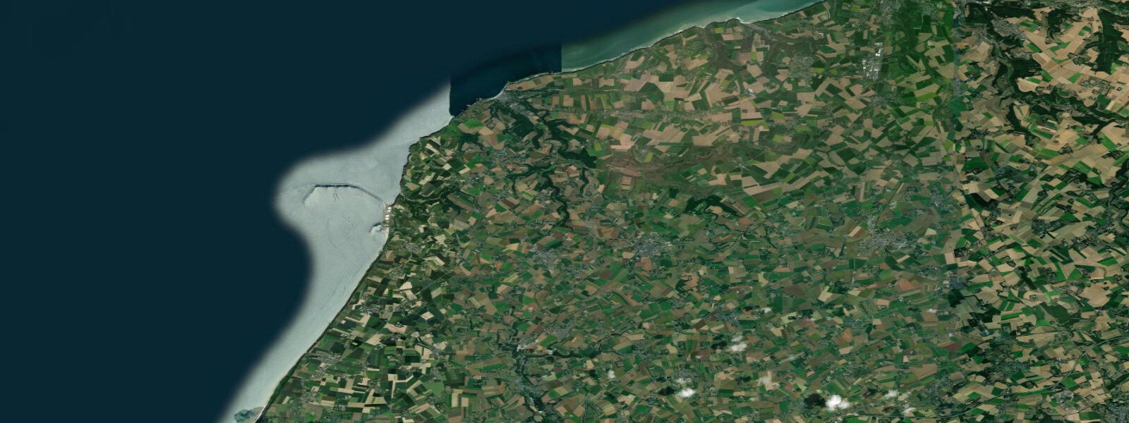
Étretat is a small town on the Alabaster Coast of Seine-Maritime, defined by two chalk cliff formations flanking a shingle beach: the Falaise d'Aval to the southwest and the Falaise d'Amont to the northeast. The Falaise d'Aval includes a natural arch and a detached chalk needle (L'Aiguille) that stands approximately 70 metres above the low-water mark; the arch is wide enough to sail a small boat through at high water and to walk through on foot at low water. These formations have been photographed and painted so many times that the actual scale comes as a surprise to first-time visitors.
0 metres — among the largest on the Normandy coast and substantially larger than most visitors from Mediterranean or North Sea coasts expect. The shingle beach, which is roughly 400 metres wide at low water, compresses to a narrow strip at high water directly below the cliffs. The transition matters: the arch at the foot of the Falaise d'Aval, and the broad chalk platforms around the base of both cliff formations, are accessible on foot only around low water.
At mid-tide on the flood, the water is already covering the platforms. At high water on a spring tide, the sea comes to the base of the cliffs and there is no foreshore. The practical rule for visiting the arch is to time arrival within 2 hours either side of low water, and to watch the direction of the tidal current on the way back across the beach.
The cliff geology is active. Chalk is mechanically weak and Étretat's cliffs erode continuously — chalk falls occur regularly, sometimes with no preceding warning. The official guidance from the local municipality is to keep clear of the cliff base and not to linger directly below the chalk face.
Signs at the beach reiterate this. The visible erosion notch at the cliff foot in several locations shows where wave action at high water undercuts the cliff. Monet painted the Étretat cliffs in a series of canvases produced during the 1880s, working at different states of light and tide to show the formations in contrasting conditions.
The Musée des Beaux-Arts in Le Havre (30 km south) holds several of these works. The town itself — a planned seaside resort from the Second Empire period, with the covered market (Les Halles) and the casino at the cliff base still intact — is compact and manageable on foot. The clifftop walks in both directions from the town are the primary appeal alongside the beach: the path to the Falaise d'Amont with its chapel and the replica of the Nungesser-Coli biplane (the ill-fated L'Oiseau Blanc, which departed Paris for New York in 1927 and was never found) takes around 30 minutes from the town centre.
The return swell through the narrow shingle beach at Étretat generates a strong undertow and a characteristic rip current on falling tide days with any southwesterly swell. The shingle itself is coarse and steep, producing a sharp plunge to swimming depth at the water's edge — depth is reached immediately, and the backwash on the steep profile is significant. The beach is supervised in summer.
Shore anglers work the chalk platform to the north of the Falaise d'Amont during the low-water window, targeting bass and pollack in the tidal race around the headland. The 8-metre tidal range means this platform is accessible for only a brief window on each tidal cycle; the chalk face above the fishing position is the standard caution repeated for all low-water access at Étretat. The neap-to-spring variation in beach width is visually dramatic: at neap low water the beach extends perhaps 150 metres; at spring low water the full 400-metre foreshore is dry shingle, exposing the chalk reef field that frames the arc of the bay.
Predictions on this page come from Open-Meteo Marine, a gridded global ocean model. 3 metres on height — model-derived, not from a local gauge. fr.
Tide questions about Étretat
Quick answers to the most common questions about tide times, range, and water access at Étretat.
When can you walk through the arch at the Falaise d'Aval?
The arch at the foot of the Falaise d'Aval at Étretat is accessible on foot around low water — approximately within 2 hours either side of the low tide time. At mid-tide on the flood, the chalk platforms around the arch base are already partially covered; at high water on a spring tide, the sea reaches the cliff base and there is no foreshore at all. Check the tide table on this page, plan to be on the beach at or shortly after low water, and allow time to return well before mid-flood. The beach narrows fast on a rising 8-metre spring tide — the rate of tidal advance across the shingle is faster than most visitors expect.
Is the cliff base at Étretat safe to visit?
The official municipal guidance for Étretat is to keep clear of the cliff base and avoid lingering directly below the chalk face. Chalk erodes continuously and cliff falls occur without warning — the erosion notch at the base of several sections of the Falaise d'Aval shows where wave action at high water is actively undercutting the chalk. Signs on the beach reiterate the warning. The broadly accessible part of the foreshore — walking out to the arch, exploring the chalk platform around the needle — involves spending time near the cliff. The risk is real but low on any given visit; the sensible approach is to move briskly, not to sit or stand stationary directly below the chalk face, and to return from the arch well before the tide begins covering the retreat path.
What is the tidal range at Étretat and how does it affect the beach?
Mean spring tidal range at Étretat is approximately 8.0 metres. At low water on a spring tide, the beach extends roughly 400 metres from the cliff base to the waterline — a wide, open expanse of coarse shingle. At high water, the same beach compresses to a narrow strip immediately below the cliffs, and on the largest spring tides the sea reaches the cliff base directly. The transition from low to high water takes approximately 6 hours; the horizontal advance of the waterline across the shallow-gradient shingle is several tens of metres per hour on a rising spring tide. The formations at the cliff base — the arch, the chalk platforms — are only accessible in the low-water window.
Is swimming safe at Étretat?
Swimming at Étretat is supervised in summer, but the beach profile creates conditions that differ from a typical sandy beach. The shingle is coarse and steeply shelving — depth is reached immediately at the water's edge, and the backwash on the steep profile is strong. On days with any southwesterly swell, the return swell through the narrow beach generates a marked undertow and a rip current on the falling tide. The beach is generally calmer on neap tides and in light northerly or easterly winds when the Atlantic swell is low. Young children and weak swimmers are better suited to the calmer conditions of the protected harbour area at Fécamp (20 km south) or the sheltered inlets east of Étretat.
Where does the tide data for Étretat come from, and how accurate is it?
Predictions on this page come from Open-Meteo Marine, a free gridded global ocean model. They are model-derived, not from a dedicated local gauge at Étretat — accuracy is typically within plus or minus 45 minutes on timing and 0.2 to 0.3 metres on height. For an 8-metre spring range coast, the proportional uncertainty is small, and these predictions are suitable for planning cliff and arch access windows. The nearest official SHOM gauges are at Dieppe and Le Havre; for precision navigation or commercial use, consult SHOM at shom.fr.
8-day tide table — Étretat
Heights relative to MSL. Predictions: Open-Meteo Marine (MeteoFrance SMOC, 0.08° grid) — heights relative to MSL (not chart datum / LAT). Model-derived.
| Day | Type | Time | Height |
|---|---|---|---|
| Fri 19 Jun | High | 02:30 | 2.6m |
| Low | 08:54 | -4.0m | |
| High | 15:05 | 2.5m | |
| Low | 21:21 | -3.5m | |
| Sat 20 Jun | High | 03:25 | 2.4m |
| Low | 09:45 | -3.7m | |
| High | 15:58 | 2.3m | |
| Low | 22:12 | -3.3m | |
| Sun 21 Jun | High | 04:19 | 2.0m |
| Low | 10:38 | -3.5m | |
| High | 16:52 | 1.9m | |
| Low | 23:03 | -3.0m | |
| Mon 22 Jun | High | 05:12 | 1.9m |
| Low | 11:35 | -3.1m | |
| High | 17:49 | 2.0m | |
| Tue 23 Jun | Low | 00:05 | -2.5m |
| High | 06:07 | 1.8m | |
| Low | 12:35 | -2.7m | |
| High | 18:42 | 1.9m | |
| Wed 24 Jun | Low | 01:07 | -2.5m |
| High | 07:05 | 1.7m | |
| Low | 13:37 | -2.6m | |
| High | 19:36 | 1.8m | |
| Thu 25 Jun | Low | 02:07 | -2.5m |
| High | 08:00 | 1.7m | |
| Low | 14:36 | -2.5m | |
| High | 20:31 | 1.9m | |
| Fri 26 Jun | Low | 01:00 | -1.3m |