Royan tide times
Royan tide forecast — heights relative to MSL.
Today's tide times for Royan
Tide times at Royan on Sunday, 21 June 2026: first high tide at 02:00, first low tide at 03:42, second high tide at 10:37, second low tide at 15:58, third high tide at 22:54. Sunrise 06:14, sunset 21:56.
Tide chart for Royan
24-hour cosine-interpolated curve around the present moment. Heights relative to MSL. Predictions: Predictions: Open-Meteo Marine (MeteoFrance SMOC, 0.08° grid).
Sun, moon and conditions on Sun 21 Jun
Snapshot at build time — refreshes daily. Sea state from Open-Meteo Marine.
Highs and lows next 7 days
Every predicted high and low for the next week, with the daily tidal coefficient (0–120; higher = bigger swing, > 95 means stronger currents).
Other spots nearby
The three closest curated TideTurtle locations to Royan, measured by great-circle distance.
Today's solunar windows
Solunar tradition: major periods are the ≈3h windows around moon transit and opposition; minor are ≈2h around moonrise and moonset. Pair with the local tide stage and wind for the best read.
Cycle dates near Royan
Last spring tide on Sun 21 Jun (range 3.3m). Next spring tide on Sat 27 Jun (range 3.0m). Next neap on Wed 24 Jun.
Spring tides cluster around new and full moons (biggest swings). Neap tides land on quarter moons (smallest swings). See the spring tide and neap tide glossary entries for the why.
About tides at Royan
A short guide to the coastline at Royan — geography, sea state, and what the tide is actually doing under your feet.
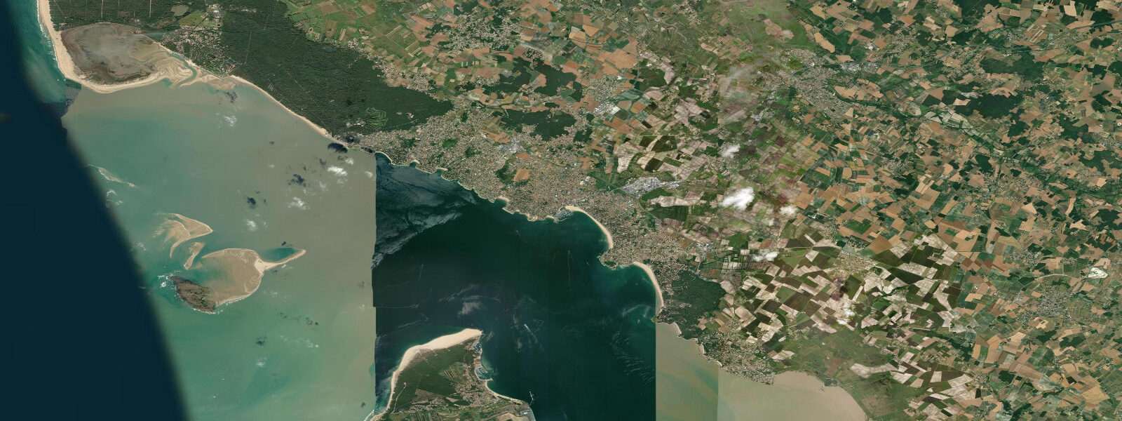
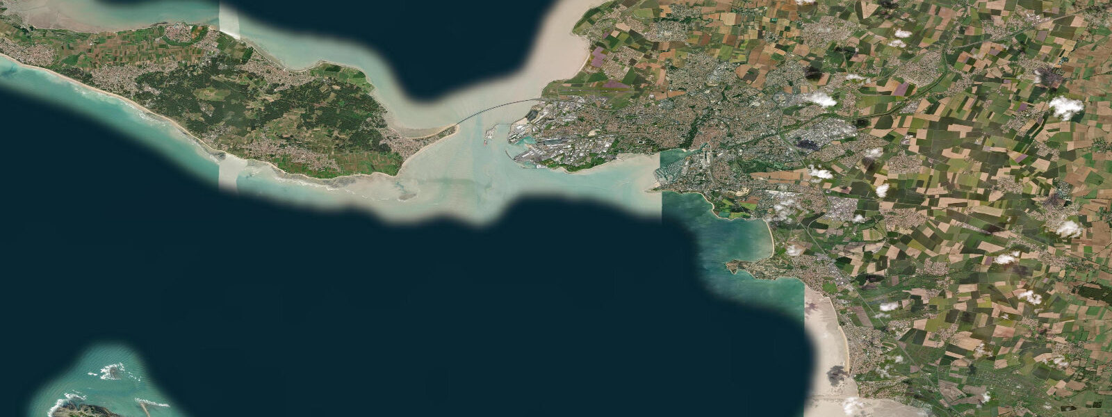
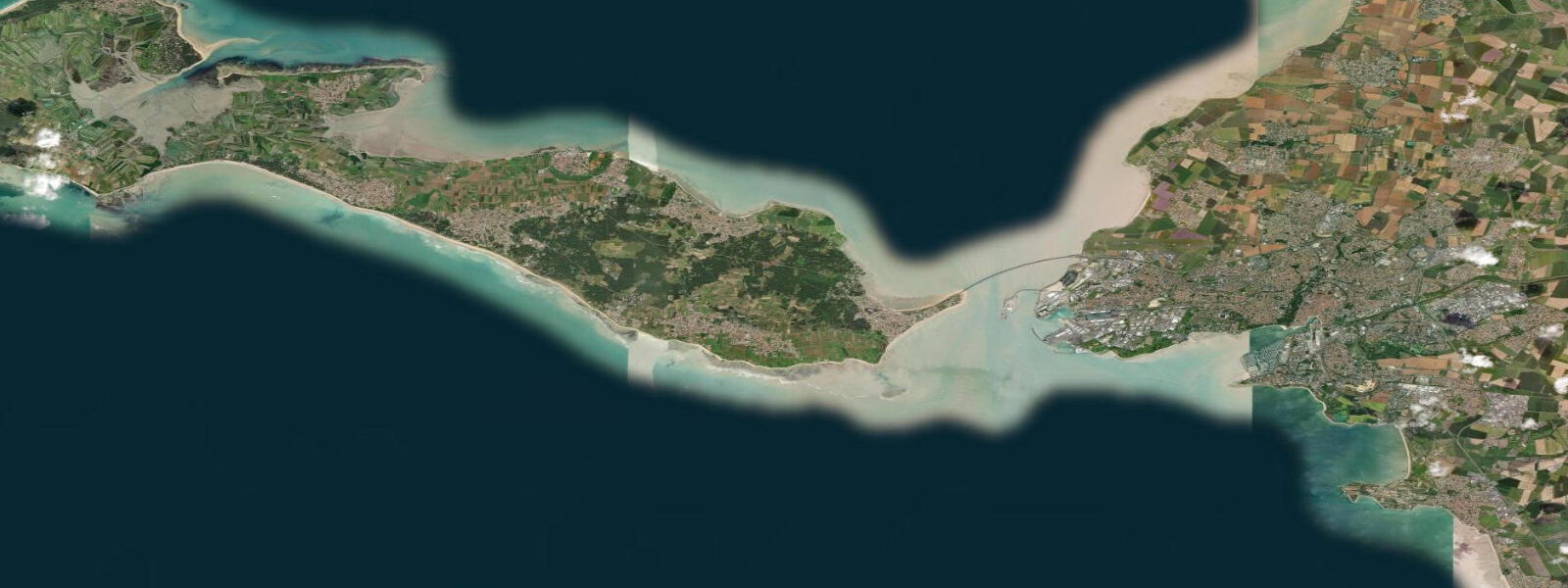
Royan sits at the mouth of the Gironde estuary on the northern (Charente-Maritime) bank — the last town before the Atlantic on France's longest estuarine funnel. The estuary mouth between Royan and the Pointe de Grave on the Médoc side is approximately 7 km wide; here the Gironde carries the combined freshwater discharge of the Garonne and the Dordogne, mixed with Atlantic tidal water, through a channel that can be rough, fast, and opaque with sediment. The ferry between Royan and Pointe de Grave has been crossing this gap for over a century, offering the only direct crossing between the two banks short of the bridge at Bordeaux, 70 km upstream.
The tidal regime at Royan is macrotidal and semidiurnal. Mean range in the harbour is approximately 4.5 m; spring range reaches 5.0–5.2 m. High water at Royan occurs roughly 5 hours 30 minutes after Dover standard. The Gironde estuary amplifies the tidal signal as it narrows upstream: at Bordeaux, nearly 100 km from the mouth, a 5-metre tidal range at Royan translates into a 3.5-metre range at the quayside below the Pont de Pierre — the estuary compresses and amplifies the wave. The most dramatic expression of this is the Mascaret, the tidal bore that forms on strong spring tides and runs upstream from the estuary mouth through the Garonne and Dordogne. The bore is not regular at Royan itself but becomes visible and surfable on the Dordogne above Bordeaux during equinoctial spring tides.
Royan's beaches are the reason most visitors come. The Grande Conche is the main beach — a crescent of fine sand facing west-southwest, 2 km long, protected by the breakwater arm of the harbour to the north and the headland at Pontaillac to the south. At high water on a spring tide the beach narrows; at low water the sand flat extends 200–300 m beyond the high-water line, but the gradient here is gentler than the Opal Coast so the exposure is less dramatic than at Le Touquet or Berck. The water temperature at the Gironde mouth is influenced by the cold Gironde outflow; Royan tends to be cooler in summer than the open Atlantic beaches to the south (La Côte d'Argent, Lacanau, Hossegor). Typical July–August sea temperature: 19–21°C, versus 22–23°C 80 km south.
The Pointe de Grave on the Médoc side marks the start of the Route des Châteaux du Médoc — the wine-tourism road north from Bordeaux through the Haut-Médoc appellations. The ferry landing at Pointe de Grave is at the edge of a coastal park; the Phare de Cordouan, a Renaissance lighthouse 7 km into the Gironde mouth, is visible from both banks on clear days and accessible by boat from Royan at high water. The Cordouan lighthouse, UNESCO-listed and still operational, is reachable only when tide and sea state allow — wave action at the base of the lighthouse becomes dangerous in onshore weather.
For kayakers, the Gironde mouth is not a beginner environment. Tidal streams in the main channel run 2–3 knots; the shipping lane carries wine tankers, roll-on/roll-off ferries, and occasional warships transiting to and from the naval base at Rochefort. Paddling close inshore on the Royan side at low water is manageable; crossing to the Médoc bank should be planned around slack water and is not recommended without prior Channel crossing experience and VHF radio. Surfing occurs on the Pontaillac beach and at the exposed headland beaches north of Royan; the Gironde swell shadow means wave heights are typically half those at the open Atlantic beaches to the south.
The Marché Central de Royan, a conical 1950s market hall — rebuilt after the town was heavily bombed in 1945 — is one of the most distinctive post-war market buildings in France. The building is oval in plan, concrete, and covers one of the best seafood and regional produce markets on the Charente-Maritime coast. Royan oysters (Charente-Maritime designation) and Médoc wines cross this market by the half-palette on weekday mornings.
Tide data for Royan comes from the Open-Meteo Marine API (±45 min / ±0.2–0.3 m). SHOM authoritative tables for Royan and the Gironde mouth are the navigation-grade reference.
Tide questions about Royan
Quick answers to the most common questions about tide times, range, and water access at Royan.
What is the tidal range at Royan?
Royan has a macrotidal semidiurnal regime with a mean range of approximately 4.5 m and a spring range of 5.0–5.2 m. High water occurs roughly 5 hours 30 minutes after Dover standard. Two high waters and two low waters occur each day. The tidal signal amplifies upstream in the Gironde: a 5-metre range at the estuary mouth becomes approximately 3.5 metres at Bordeaux. Open-Meteo Marine data here is accurate to ±45 min / ±0.2–0.3 m; SHOM publishes authoritative tables for Royan.
How does the Gironde estuary affect conditions at Royan?
The Gironde, formed by the confluence of the Garonne and Dordogne rivers, is 7 km wide at Royan. The estuary carries a large freshwater discharge, particularly after winter and spring rainfall in the Aquitaine catchment. This freshwater mixes with tidal Atlantic water: the resulting brackish outflow is turbid (brown-green, not clear), cooler than the open Bay of Biscay by 1–2°C in summer, and navigated by a continuous stream of commercial shipping. Sea temperature at Royan in July–August typically runs 19–21°C versus 22–23°C at the Atlantic beaches 80 km south.
What is the Cordouan lighthouse and how do I visit it?
The Phare de Cordouan is a 16th-century lighthouse standing on an isolated rock 7 km into the Gironde mouth, visible from both banks on clear days. It is the oldest lighthouse in France still in operation, UNESCO-listed since 2021, and accessible only by boat from Royan at high water when sea state at the rock base permits landing. Excursion boats run from Royan harbour seasonally — check the operator's schedule, which is tide-dependent and weather-dependent. The crossing is approximately 40 minutes. Access to the lighthouse interior requires a guided tour; the tower staircase to the lantern is 301 steps.
Is the ferry from Royan to Pointe de Grave reliable and on what schedule?
The Royan–Pointe de Grave ferry (operated by Transgironde) runs year-round with reduced winter frequency. The crossing is approximately 25–30 minutes depending on tidal current in the estuary mouth. The timetable is not strictly tide-dependent — the ferry runs on a clock schedule — but departure times and passage time vary slightly with tidal conditions. In strong weather (Gironde swell, westerly gales) the service suspends. The ferry is the only direct road-vehicle crossing short of Bordeaux, 70 km upstream by road. Book vehicle space in advance in July–August.
Is tide data on TideTurtle sufficient for boating or kayaking in the Gironde estuary near Royan?
No. TideTurtle uses Open-Meteo Marine API data accurate to approximately ±45 minutes and ±0.2–0.3 m — adequate for beach and leisure planning, not for navigation in the Gironde. The estuary mouth carries tidal streams of 2–3 knots, a major commercial shipping lane, and variable sea conditions from Biscay swell interacting with the ebb current. For any small-craft passage in the Gironde, use SHOM authoritative tidal tables for Royan and the current atlas for the estuary mouth. VHF channel 12 covers Gironde Port Control, which monitors the shipping traffic. Crossing to the Médoc bank without planning around slack water is not recommended.
8-day tide table — Royan
Heights relative to MSL. Predictions: Open-Meteo Marine (MeteoFrance SMOC, 0.08° grid) — heights relative to MSL (not chart datum / LAT). Model-derived.
| Day | Type | Time | Height |
|---|---|---|---|
| Sun 21 Jun | High | 02:00 | -1.5m |
| Low | 03:42 | -2.2m | |
| High | 10:37 | 1.0m | |
| Low | 15:58 | -1.9m | |
| High | 22:54 | 1.2m | |
| Mon 22 Jun | Low | 04:40 | -1.9m |
| High | 11:34 | 0.9m | |
| Low | 17:02 | -1.6m | |
| High | 23:50 | 1.0m | |
| Tue 23 Jun | Low | 05:45 | -1.7m |
| High | 12:26 | 0.8m | |
| Low | 18:16 | -1.5m | |
| Wed 24 Jun | High | 00:48 | 0.8m |
| Low | 06:54 | -1.6m | |
| High | 13:19 | 0.8m | |
| Low | 19:26 | -1.5m | |
| Thu 25 Jun | High | 01:43 | 0.8m |
| Low | 07:54 | -1.6m | |
| High | 14:11 | 0.9m | |
| Low | 20:26 | -1.6m | |
| Fri 26 Jun | High | 02:39 | 0.8m |
| Low | 08:48 | -1.6m | |
| High | 15:03 | 1.0m | |
| Sat 27 Jun | Low | 09:36 | -1.8m |
| High | 15:48 | 1.0m | |
| Low | 22:01 | -1.9m | |
| Sun 28 Jun | High | 01:00 | -0.2m |