Île de Ré tide times
Île de Ré tide forecast — heights relative to MSL.
Today's tide times for Île de Ré
Tide times at Île de Ré on Sunday, 21 June 2026: first low tide at 03:24, first high tide at 10:28, second low tide at 15:47, second high tide at 22:44. Sunrise 06:13, sunset 22:00.
Tide chart for Île de Ré
24-hour cosine-interpolated curve around the present moment. Heights relative to MSL. Predictions: Predictions: Open-Meteo Marine (MeteoFrance SMOC, 0.08° grid).
Sun, moon and conditions on Sun 21 Jun
Snapshot at build time — refreshes daily. Sea state from Open-Meteo Marine.
Highs and lows next 7 days
Every predicted high and low for the next week, with the daily tidal coefficient (0–120; higher = bigger swing, > 95 means stronger currents).
Other spots nearby
The three closest curated TideTurtle locations to Île de Ré, measured by great-circle distance.
Today's solunar windows
Solunar tradition: major periods are the ≈3h windows around moon transit and opposition; minor are ≈2h around moonrise and moonset. Pair with the local tide stage and wind for the best read.
Cycle dates near Île de Ré
Last spring tide on Sun 21 Jun (range 3.4m). Next spring tide on Sat 27 Jun (range 2.8m). Next neap on Wed 24 Jun.
Spring tides cluster around new and full moons (biggest swings). Neap tides land on quarter moons (smallest swings). See the spring tide and neap tide glossary entries for the why.
About tides at Île de Ré
A short guide to the coastline at Île de Ré — geography, sea state, and what the tide is actually doing under your feet.
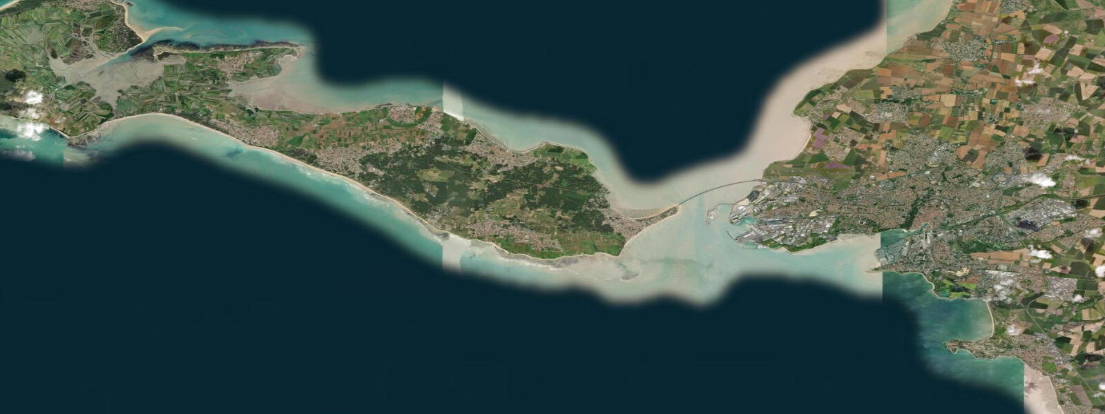
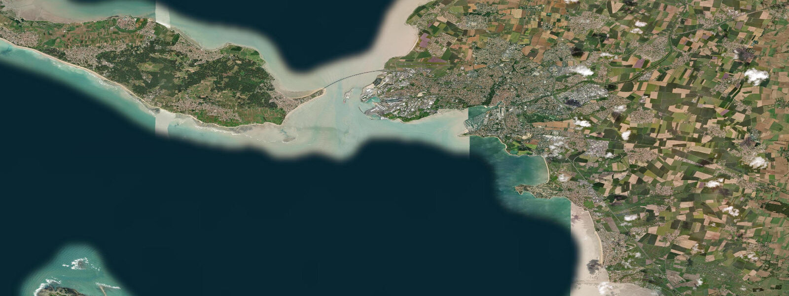
Île de Ré is a low-lying limestone island 30 km long and at its widest 5 km across, connected to La Rochelle by a 3 km toll bridge since 1988. The island sits in the Pertuis Breton — the channel between the mainland and the open Charentaise coast to the north — and faces southwest into the Atlantic across the Pertuis d'Antioche. The tidal range of approximately 5.0 m mean (with spring tides reaching 5.5–5.8 m) shapes every part of the island's geography and economy. At high water the island's salt marshes fill; at low water the eastern and northern intertidal zones expose mudflats that run several hundred metres offshore.
The 170 km of cycling paths on Île de Ré are the island's defining leisure infrastructure. Routes range from the main D735 artery through the centre to narrow dike paths running along the salt-marsh edge of the intertidal zone. The dike paths are the ones worth seeking out: at low water on a spring tide, cycling the eastern coast of the island puts the retreating sea and the exposed oyster tables 10 metres to the right of the handlebar. The intertidal landscape visible from the dike path — bouchots, oyster concessions, wading birds, salt pans — changes with every tidal cycle and every season.
The mussel and oyster production on Île de Ré is among the most significant in France. The oyster concessions are arranged in the intertidal zone as flat tables, covered at high water and accessible to the operators at low water. The mussels grow on bouchots — wooden posts carrying rope-wound colonies — arranged in long rows perpendicular to the shoreline in water 0.5–2 m deep. Both products are directly tide-dependent: the operators' working windows are low water, reached in Wellington boots across the exposed flat or by flat-bottomed boat on the rise. The oyster-culture zone is visible from the bridge approach road, extending east of the island toward the mainland shore.
The salt pans (marais salants) occupy the interior of the island behind the Atlantic dune system on the western coast. The pans fill from the sea via channels and sluices that operate on tidal cycles; the salt harvest — grey sea salt (sel gris) and the premium fleur de sel crust — is collected manually in summer. The fleur de sel forms only on calm days with low humidity when the surface evaporation rate is right; harvest is by hand with a wooden skimmer and is collected twice daily near the neap low-water period. A small producer industry of salt farms, some open for visits, operates across the southern and central interior.
Saint-Martin-de-Ré, the principal town, has a Vauban-designed fortification that encircles the old harbour — a UNESCO World Heritage Site since 2008 as part of the Vauban fortifications network. The harbour itself is tidal: the inner basin dries at low water on spring tides; the outer harbour (the avant-port) remains navigable through most of the tidal cycle. Visiting yachts berth in the outer harbour and time entry or exit by the tide. The fortified ramparts above the harbour give a 360-degree view over the Pertuis Breton, the bridge, and the Atlantic horizon.
For wildlife, the intertidal mudflats on the island's eastern coast and the salt-marsh channels behind the dunes on the west side together make Île de Ré one of the most important shorebird staging areas in western France. In autumn (August–November), tens of thousands of dunlin, knot, and bar-tailed godwit use the eastern flats as a feeding stop. The Fier d'Ars, a long tidal inlet at the island's northwest tip, holds a nesting colony of the Mediterranean gull and a regular wintering population of avocet. The tidal rhythm of the Fier — filling and draining through a narrow channel twice daily — determines when the mudflat is exposed and when the birds can feed.
Tide data for Île de Ré comes from the Open-Meteo Marine API (±45 min / ±0.2–0.3 m). SHOM authoritative tables for Saint-Martin-de-Ré are the navigation-grade reference.
Tide questions about Île de Ré
Quick answers to the most common questions about tide times, range, and water access at Île de Ré.
What is the tidal range at Île de Ré?
Île de Ré has a macrotidal semidiurnal regime with a mean range of approximately 5.0 m and a spring range of 5.5–5.8 m. Two high waters and two low waters occur each day. At low water on spring tides, the eastern and northern shores expose mudflats running several hundred metres offshore. The tidal cycle controls the intertidal oyster and mussel operations, the navigability of the Saint-Martin-de-Ré inner harbour, and the bird-feeding windows on the Fier d'Ars. Open-Meteo Marine data here is accurate to ±45 min / ±0.2–0.3 m; use SHOM tables for precise timing.
How do the oyster and mussel farmers on Île de Ré work with the tide?
Oyster tables (huîtres plates and huîtres creuses concessions) sit in the intertidal zone, covered at high water and accessible on foot or by flat-bottomed boat (plate) at low water. Mussels grow on bouchots — post-and-rope structures in 0.5–2 m of water. The operators work the exposed intertidal zone at low water for maintenance, harvest, and reseeding. The neap-spring cycle sets the work pattern: spring low waters expose the most ground and allow access to outer concessions; neap tides may only partially expose the tables. Oyster harvest in Charente-Maritime peaks in September–February; summer neap tides are the fleur de sel window for salt farmers.
What is the Fier d'Ars and when is it best for wildlife?
The Fier d'Ars is a long, narrow tidal inlet at the northwest tip of Île de Ré, connecting to the Pertuis Breton through a restricted channel. It fills and empties through the tidal cycle, exposing extensive mudflats inside the inlet at low water. In autumn (August–November) the Fier holds large numbers of migratory shorebirds — dunlin, knot, bar-tailed godwit, redshank, and avocet — feeding on the exposed mudflat during low-water periods. A resident Mediterranean gull colony nests on the marshes inside the Fier. The best viewing position is the dike path on the western edge of the inlet at low water on a spring tide, when the maximum mud area is exposed.
How do I visit Saint-Martin-de-Ré harbour by boat?
The Saint-Martin-de-Ré avant-port (outer harbour) is accessible for most of the tidal cycle; the inner tidal basin dries on spring tides and should only be entered with sufficient rise of tide for your draft. Yacht berths are in the outer harbour; contact the harbour master's office (capitainerie) on VHF Channel 9 on approach. Anchoring is possible outside the avant-port in the Pertuis Breton in suitable conditions — check tidal stream direction (up to 1.5–2 knots in the Pertuis) when choosing an anchorage. The approach from La Rochelle on the flood current is a straightforward 8–10 km reach; returning against the ebb requires timing.
Is the tide data on TideTurtle suitable for sailing to Île de Ré?
No. TideTurtle uses Open-Meteo Marine API data accurate to approximately ±45 minutes and ±0.2–0.3 m. This is useful for understanding the general tidal pattern and scheduling leisure visits to the island's beaches or salt marshes. For sailing in the Pertuis Breton or Pertuis d'Antioche — tidal streams 1.5–2 knots, constrained approach to the Saint-Martin tidal harbour — use SHOM authoritative tables for Saint-Martin-de-Ré and the SHOM current atlas for the Pertuis passages. The outer harbour's navigable window and the timing of the tidal stream reversal in the Pertuis require data more precise than Open-Meteo provides.
8-day tide table — Île de Ré
Heights relative to MSL. Predictions: Open-Meteo Marine (MeteoFrance SMOC, 0.08° grid) — heights relative to MSL (not chart datum / LAT). Model-derived.
| Day | Type | Time | Height |
|---|---|---|---|
| Sun 21 Jun | Low | 03:24 | -2.4m |
| High | 10:28 | 0.9m | |
| Low | 15:47 | -2.1m | |
| High | 22:44 | 1.0m | |
| Mon 22 Jun | Low | 04:20 | -2.1m |
| High | 11:22 | 0.7m | |
| Low | 16:46 | -1.8m | |
| High | 23:36 | 0.8m | |
| Tue 23 Jun | Low | 05:20 | -1.9m |
| High | 12:17 | 0.6m | |
| Low | 17:50 | -1.7m | |
| Wed 24 Jun | High | 00:35 | 0.6m |
| Low | 06:20 | -1.7m | |
| High | 13:25 | 0.6m | |
| Low | 18:53 | -1.6m | |
| Thu 25 Jun | High | 01:40 | 0.6m |
| Low | 07:19 | -1.7m | |
| Fri 26 Jun | High | 03:00 | 0.7m |
| Low | 20:46 | -1.8m | |
| Sat 27 Jun | High | 03:42 | 0.7m |
| Low | 09:06 | -1.9m | |
| High | 15:45 | 0.8m | |
| Low | 21:32 | -2.0m | |
| Sun 28 Jun | High | 01:00 | -0.1m |