Rauma tide times
Rauma tide forecast — heights relative to MSL.
Today's tide times for Rauma
Tide times at Rauma on Saturday, 4 July 2026: first high tide at 03:00am. Sunrise 04:05am, sunset 11:10pm.
Tide chart for Rauma
24-hour cosine-interpolated curve around the present moment. Heights relative to MSL. Predictions: Predictions: Open-Meteo Marine (MeteoFrance SMOC, 0.08° grid).
Sun, moon and conditions on Sat 04 Jul
Snapshot at build time — refreshes daily. Sea state from Open-Meteo Marine.
Highs and lows next 7 days
Every predicted high and low for the next week, with the daily tidal coefficient (0–120; higher = bigger swing, > 95 means stronger currents).
Other spots nearby
The three closest curated TideTurtle locations to Rauma, measured by great-circle distance.
Today's solunar windows
Solunar tradition: major periods are the ≈3h windows around moon transit and opposition; minor are ≈2h around moonrise and moonset. Pair with the local tide stage and wind for the best read.
About tides at Rauma
A short guide to the coastline at Rauma — geography, sea state, and what the tide is actually doing under your feet.
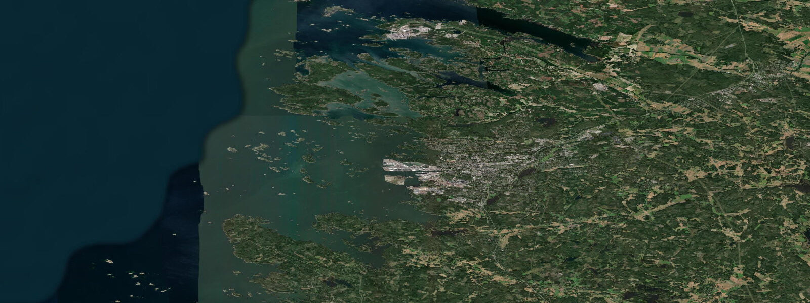
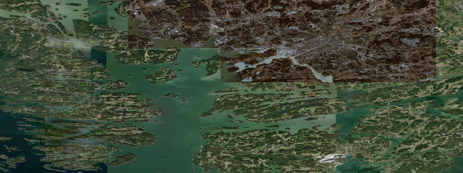
Rauma is a coastal city on the southwestern Finnish Baltic shore, 90 km north of Turku, and the site of the largest preserved medieval wooden quarter in Scandinavia — Old Rauma (Vanha Rauma), a UNESCO World Heritage Site since 1991. The old quarter is a functioning neighbourhood of roughly 600 wooden buildings, the oldest surviving examples dating from the 18th century on medieval street foundations, and the whole district is still occupied: the wooden houses are homes, shops, cafés, and workshops rather than a preserved open-air museum. The building scale is domestic — two-storey timber-frame construction with steeply pitched roofs and small windows suitable for the coastal winter — and the overall character is one of the best examples in northern Europe of a mercantile wooden town that continued to develop without large-scale urban renewal.
The lace-making tradition at Rauma (Rauma-spets in Swedish) is UNESCO-listed as an Intangible Cultural Heritage: bobbin lace made in a distinctive local style developed here from the 17th century, originally produced by fishermen's wives during the winter months and exported to the Baltic trade. The Rauma Lace Week (Pitsiviikko) in late July brings lace-makers from across Europe for demonstrations, workshops, and sales. The Rauma Museum holds the most complete collection of the local lace tradition.
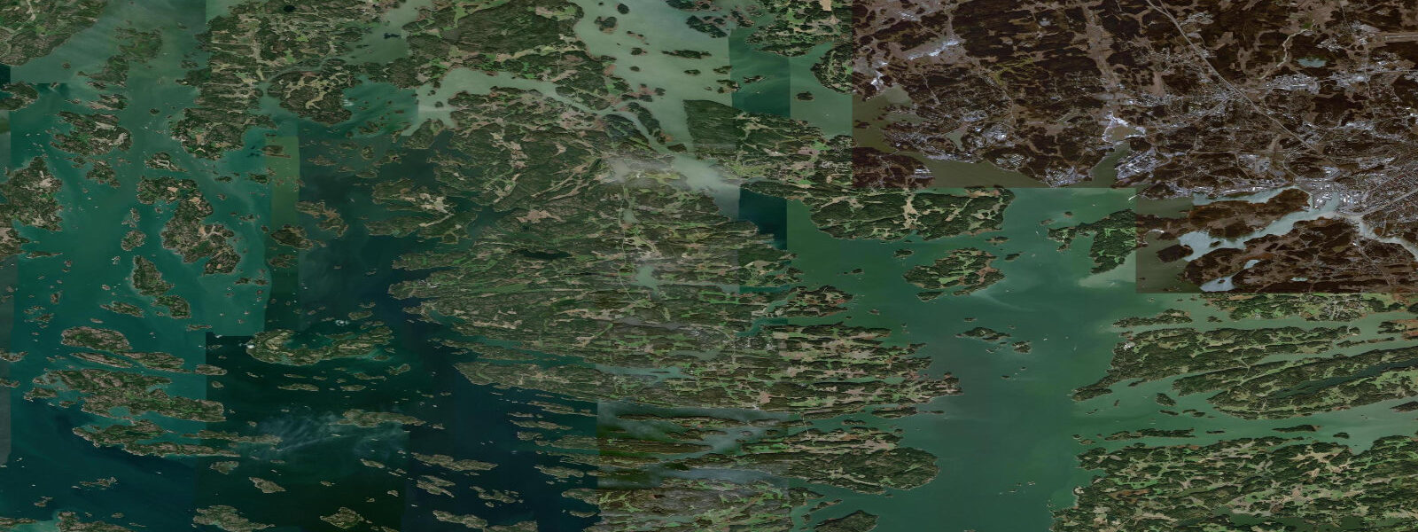
The Rauma archipelago stretches offshore for 30 km into the Bothnian Sea — the northern extension of the Baltic between Finland and Sweden — a world of granite skerries, guest harbours, and summer cottages accessible by private boat or by the public ferry service. The Outer Archipelago Marine Park (Saaristomeren kansallispuisto) extends from this coastline; the boat tour from Rauma harbour to Kuuskajaskari, a former coastal battery island with a guest harbour, is the standard day trip.
The Baltic tidal regime at Rauma is microtidal: mean astronomical range 0.1 to 0.2 m. As throughout the Finnish coast, wind-driven level changes and the long-term land uplift from post-glacial isostatic rebound dominate over the astronomical tide. The isostatic rebound at Rauma is approximately 4 to 5 mm per year — the land is rising faster than global sea level is rising, so the effective sea level at Rauma is actually falling on a century scale. This has a practical consequence: the outer islands and skerries are slowly emerging from the sea, former fishing camps on rocks that were awash a century ago are now dry platforms, and the navigable channels shift slowly as new obstructions appear.
Predictions on this page come from Open-Meteo Marine gridded model. At Rauma's 0.1 to 0.2 m astronomical range, the model's typical accuracy (plus or minus 45 minutes, 0.2 to 0.3 m) exceeds the total signal. The Finnish Meteorological Institute (FMI) operates the sea-level gauge at Rauma and publishes the authoritative tide tables and sea-level data for the southwestern Finnish coast.
Tide questions about Rauma
Quick answers to the most common questions about tide times, range, and water access at Rauma.
When is the next high tide at Rauma?
The hero block at the top of this page shows the next predicted high at Rauma in local Eastern European Time (EET/EEST, UTC+2/UTC+3). Astronomical range in the Bothnian Sea at Rauma is 0.1 to 0.2 m — negligible as a practical influence on coastal conditions. Wind-driven level changes and post-glacial isostatic rebound (the land rising at 4 to 5 mm per year) are the dominant factors shaping water-level conditions here. The Finnish Meteorological Institute (FMI) operates the Rauma gauge and publishes the authoritative sea-level data.
What is the tidal range at Rauma?
Mean astronomical range is 0.1 to 0.2 m. The Bothnian Sea is effectively closed at the north end by the Bothnian Bay and has negligible tidal exchange. The land is rising at 4 to 5 mm per year from post-glacial rebound — faster than current sea-level rise — so the effective sea level at Rauma is falling on the century scale. Wind setup from southerly and westerly storms produces the significant water-level events; seasonal variation of 20 to 30 cm is a larger signal than the astronomical tide.
Where do these tide predictions come from?
Open-Meteo Marine, a free gridded global ocean model. At Rauma's 0.1 to 0.2 m astronomical range, the model's typical accuracy (plus or minus 45 minutes, 0.2 to 0.3 m) exceeds the full signal. For authoritative Finnish coast sea-level data, the Finnish Meteorological Institute (FMI) operates the Rauma gauge. The FMI also publishes the annual mean sea-level data that tracks the isostatic rebound effect.
What is Old Rauma and why is it a World Heritage Site?
Old Rauma (Vanha Rauma) is the largest and best-preserved medieval wooden urban quarter in Scandinavia, with approximately 600 wooden buildings on a medieval street layout. UNESCO inscribed it in 1991 as an outstanding example of a northern European mercantile wooden town that continued to develop organically without wholesale demolition and rebuilding. Unlike many preserved historic quarters, Old Rauma is a living neighbourhood — the buildings are occupied residences, working shops, cafés, and craft studios. The oldest surviving buildings date from the 18th century; the street plan follows medieval foundations. The quarter is accessible on foot from the market square; guided tours run in summer from the tourist information office on the main square.
Is this safe to use for navigation?
No. TideTurtle is a planning tool for recreational coastal activity, not a navigation resource. The Rauma archipelago approaches involve numerous rocks and shoals that are slowly changing as the land rises. The Finnish Transport Infrastructure Agency publishes electronic charts for Finnish coastal waters; chart updates are required for navigation in the Rauma outer archipelago. Open-Meteo Marine gridded predictions do not replace authoritative navigation sources.
1-day tide table — Rauma
Heights relative to MSL. Predictions: Open-Meteo Marine (MeteoFrance SMOC, 0.08° grid) — heights relative to MSL (not chart datum / LAT). Model-derived.
| Day | Type | Time | Height |
|---|---|---|---|
| Sat 04 Jul | High | 03:00 | 0.2m |