Hanko tide times
Hanko tide forecast — heights relative to MSL.
Today's tide times for Hanko
Tide times at Hanko on Sunday, 21 June 2026: first high tide at 03:00am. Sunrise 04:05am, sunset 10:53pm.
Tide chart for Hanko
24-hour cosine-interpolated curve around the present moment. Heights relative to MSL. Predictions: Predictions: Open-Meteo Marine (MeteoFrance SMOC, 0.08° grid).
Sun, moon and conditions on Sun 21 Jun
Snapshot at build time — refreshes daily. Sea state from Open-Meteo Marine.
Highs and lows next 7 days
Every predicted high and low for the next week, with the daily tidal coefficient (0–120; higher = bigger swing, > 95 means stronger currents).
Other spots nearby
The three closest curated TideTurtle locations to Hanko, measured by great-circle distance.

Today's solunar windows
Solunar tradition: major periods are the ≈3h windows around moon transit and opposition; minor are ≈2h around moonrise and moonset. Pair with the local tide stage and wind for the best read.
About tides at Hanko
A short guide to the coastline at Hanko — geography, sea state, and what the tide is actually doing under your feet.
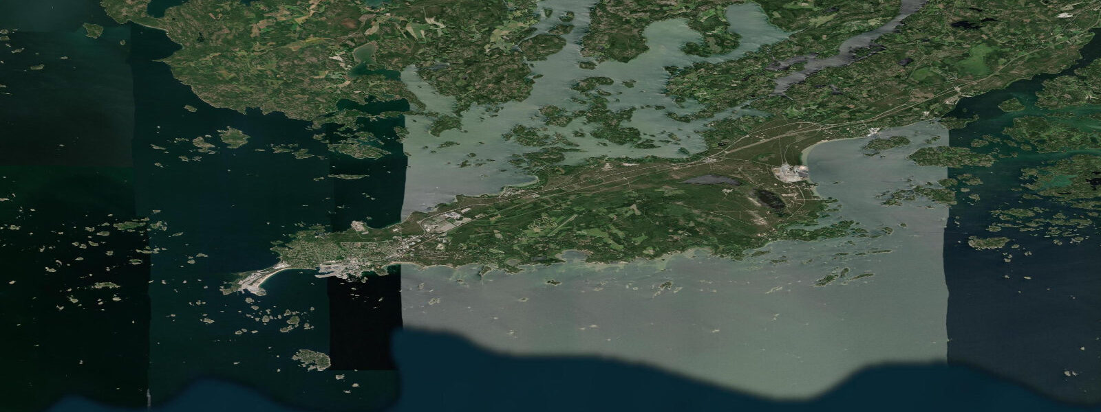
Hanko occupies the southern tip of a long, narrow peninsula that juts southwest into the Gulf of Finland — Finland's southernmost town, positioned at the convergence of the Gulf of Finland and the Archipelago Sea. The location has been strategically significant for centuries: the town was a fortified base for the Russian Imperial Navy in the 19th century, and the Hanko peninsula was the site of one of the Winter War's most unusual episodes when Soviet forces, having been granted a 30-year lease on the peninsula under the 1940 Moscow Peace Treaty, held the base at Hanko for 164 days after the war formally ended before evacuating in December 1941 as the Continuation War began. The earthworks, bunkers, and fortification remnants visible along the peninsula's wooded roads are physical residue of that occupation.
The coastal regime at Hanko is Baltic non-tidal. Astronomical tidal range is approximately 0.1 metres. Hanko's position on the outer Gulf of Finland, more exposed to the open Baltic than Helsinki or Turku to the northeast and west, means the wind-driven sea-level variability is if anything slightly more pronounced. Southwesterlies and westerlies push water into the Gulf and raise levels along the Hanko shoreline; persistent easterlies drop them. The inverted barometer effect and Baltic seiches add the same multi-day oscillatory behaviour seen throughout the Finnish coast. Wind-driven sea-level deviations of 0.4 to 0.8 metres occur in significant Baltic storm events.
Hanko is Finland's premier sailing destination. The Hankoregatta, held annually in late June and early July, draws several hundred boats from across Scandinavia and the Baltic and is the centrepiece of the Finnish racing calendar. The town's sailing culture is woven into its identity: the guest harbour in the town centre fills with cruising boats from mid-May through September, the marina facilities are among the best-maintained on the Finnish coast, and the Hanko Yacht Club (HYK) is one of the oldest in Finland. The absence of tidal current is a feature rather than a limitation: the racing marks stay put, the tide tables are irrelevant, and the only water-level factor for race-committee planning is whether a significant Baltic weather system is about to raise or lower the sea by 0.3 metres.
The Hanko shoreline is unusual for Finland: long stretches of sandy beach on the western and southern coast of the peninsula, including the Sandö beach, make Hanko the most accessible beach destination in mainland Finland. The beaches face west and southwest across open water, and in the right conditions in July and August the Baltic has some of the warmest water in Finland — the shallow offshore shelf heats quickly in calm summer periods, with surface temperatures occasionally reaching 24 to 25 degrees Celsius. The same exposure means that when the westerly picks up, the beaches at Hanko receive the full Baltic fetch and wave heights of 0.5 to 1.5 metres are common in active weather.
The Cape Hanko lighthouse (Hankoniemi lighthouse) stands on the southern tip of the peninsula, marking the seaward end of the headland. The lighthouse area is accessible on foot from the town and gives the clearest view of the open Gulf of Finland stretching southeast toward Tallinn and the horizon. On clear days the Estonian coast is theoretically visible — Tallinn is approximately 80 kilometres south-southeast.
The town's wooden villa quarter, built during the Russian-era resort period in the late 19th and early 20th centuries, survives in good condition along the western shore of the peninsula. The ornate Russian-influenced summer villas are a distinctive architectural feature of Hanko that differentiates it from the rest of the Finnish coast. Several have been converted to hotels and restaurants.
Sea-level predictions on this page come from Open-Meteo Marine, a global gridded ocean model, typically accurate to within plus or minus 45 minutes and 0.2 to 0.3 metres. At Hanko, where the astronomical range is approximately 0.1 metres, the model uncertainty exceeds the signal. For sea-level conditions affecting harbour depth and coastal access at the peninsula, use the FMI (Ilmatieteen laitos) real-time gauge network and storm-surge service at en.ilmatieteenlaitos.fi.
Tide questions about Hanko
Quick answers to the most common questions about tide times, range, and water access at Hanko.
Does Hanko have a real tide to plan around?
No. The astronomical tidal range at Hanko is approximately 0.1 metres — Baltic physics eliminate any meaningful tide. Sea level here is driven by wind, atmospheric pressure, and Baltic seiches. Hanko's exposed position at the outer Gulf of Finland means wind-driven deviations of 0.4 to 0.8 metres occur during significant Baltic storms — larger than at more sheltered locations further inland. The FMI (Ilmatieteen laitos) real-time sea-level gauge and storm-surge service at en.ilmatieteenlaitos.fi is the operative planning source.
When is the Hankoregatta held and who can participate?
The Hankoregatta is held annually in late June or early July. It typically draws 200 to 400 boats and is the largest offshore sailing regatta in Finland by entries. The event is open to boats of all sizes and performance levels across multiple classes; the offshore passage race is the centrepiece, but there are inshore circuit races accessible to smaller boats. Entry is through the organizing committee (Hanko Yacht Club / HYK); the regatta website publishes registration and class information annually. Accommodation in Hanko books out well in advance for regatta week.
What are the best beaches at Hanko?
The western and southern shoreline of the Hanko peninsula has some of the best sandy beach in mainland Finland. Sandö beach on the western shore is the main public beach, with gentle entry and occasional warm water in midsummer — the shallow Baltic offshore shelf can reach 24 to 25 degrees Celsius in calm July and August weather. The beaches face west and southwest and are exposed to the full Baltic fetch when westerlies blow, so conditions vary considerably with wind. The town centre is a short walk from the main beach areas. No tidal variation to worry about — the waterline changes only with wind and weather.
What is the Winter War history visible at Hanko?
The 1940 Moscow Peace Treaty that ended the Winter War required Finland to cede the Hanko peninsula to the Soviet Union as a 30-year naval lease. Soviet forces occupied the base from March 1940 until December 1941, when the German-Finnish Continuation War made the position untenable and the garrison evacuated by sea. The 164-day occupation left a substantial physical legacy: gun emplacements, bunkers, communication trenches, and fortification remnants are visible throughout the wooded peninsula along public hiking trails. The Hanko Town Museum documents the occupation period and the broader Winter War history of the peninsula.
Is this sea-level information safe to use for navigation around Hanko peninsula?
No. Open-Meteo Marine gridded predictions are not a substitute for Finnish Maritime Administration nautical charts or official FMI sea-level data. Hanko's outer position at the Gulf of Finland makes it an active commercial and recreational traffic zone. Navigation around the peninsula uses Finnish Maritime Administration charts (available from Karttakeskus) and the FMI real-time sea-level data for depth corrections. The pilot station at Hanko operates for vessels transiting the Gulf of Finland; commercial vessels consult the port authority before approach. Gridded model predictions on this page are insufficient for any navigation decision.
8-day tide table — Hanko
Heights relative to MSL. Predictions: Open-Meteo Marine (MeteoFrance SMOC, 0.08° grid) — heights relative to MSL (not chart datum / LAT). Model-derived.
| Day | Type | Time | Height |
|---|---|---|---|
| Sun 21 Jun | High | 03:00 | -0.1m |
| Mon 22 Jun | Low | 18:00 | -0.1m |
| Tue 23 Jun | — | ||
| Wed 24 Jun | — | ||
| Thu 25 Jun | High | 16:00 | 0.0m |
| Fri 26 Jun | — | ||
| Sat 27 Jun | — | ||
| Sun 28 Jun | Low | 02:00 | -0.1m |