Yasawa Islands tide times
Yasawa Islands tide forecast — heights relative to MSL.
Tide chart for Yasawa Islands
24-hour cosine-interpolated curve around the present moment. Heights relative to MSL. Predictions: Predictions: Open-Meteo Marine (MeteoFrance SMOC, 0.08° grid).
Sun, moon and conditions on Tue 23 Jun
Snapshot at build time — refreshes daily. Sea state from Open-Meteo Marine.
Highs and lows next 7 days
Every predicted high and low for the next week, with the daily tidal coefficient (0–120; higher = bigger swing, > 95 means stronger currents).
Other spots nearby
The three closest curated TideTurtle locations to Yasawa Islands, measured by great-circle distance.
Today's solunar windows
Solunar tradition: major periods are the ≈3h windows around moon transit and opposition; minor are ≈2h around moonrise and moonset. Pair with the local tide stage and wind for the best read.
Cycle dates near Yasawa Islands
Next spring tide on Sat 27 Jun (range 1.3m). Next neap on Fri 26 Jun.
Spring tides cluster around new and full moons (biggest swings). Neap tides land on quarter moons (smallest swings). See the spring tide and neap tide glossary entries for the why.
About tides at Yasawa Islands
A short guide to the coastline at Yasawa Islands — geography, sea state, and what the tide is actually doing under your feet.
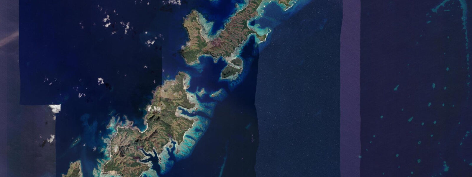
The Yasawa Islands extend 80 km northwest from the outermost Mamanuca group — a volcanic ridge of 20 main islands with steep green hills, white sand beaches, and some of the clearest water in the western Pacific. The chain runs from Kuata and Wayasewa in the south (roughly 100 km from Denarau by sea) to Yasawa Island itself in the north (roughly 200 km). The lack of development in most of the chain is a direct result of its distance from Nadi: until the Yasawa Flyer slow ferry began regular service and low-budget bure-style accommodation developed across the islands, the Yasawas were visited mainly by the Blue Lagoon Cruises live-aboard ships.
The tidal regime across the Yasawa chain is mixed semidiurnal, consistent with the western Fiji group — spring range approximately 1.2 to 1.5 m, two highs and two lows per day with diurnal inequality. The further north through the chain, the more exposed the islands become to open Pacific swell from the northwest during the austral winter (June through August), which brings a consistent wave pattern to the northern Yasawa beaches. Tidal conditions on the exposed western sides of the islands differ from the sheltered lagoon sides in terms of sea state, but the tidal range itself is the same on both sides.
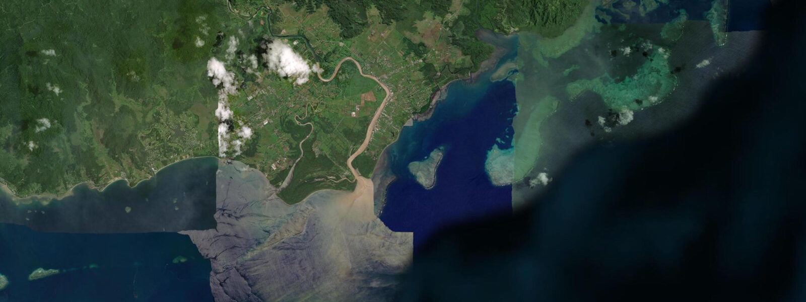
The Blue Lagoon at Nanuya Lailai Island, in the central Yasawa group, is widely photographed: a sandy-bottom shallow bay with colour ranging from pale green in 1 m of water to deep turquoise in the 4 to 5 m central channel. The Blue Lagoon Cruises ships anchor outside and bring passengers in by tender; the approach channel to the main beach is navigable by tender and small boat at mid-tide and above. At low water on a spring tide the channel shallows toward 0.4 to 0.5 m at its shallowest point. The lagoon's colour comes from the sandy bottom reflecting light in shallow water — on overcast days the blue-green effect is substantially reduced regardless of tidal stage.
The Sawa-i-Lau limestone caves at the northern end of the chain, on Sawa-i-Lau Island near Yasawa, are one of the most visited sites in the group. The main cave is accessed from the water into a large dry chamber; a lower chamber is reached by swimming through an underwater passage at sea level. The passage is most comfortable at low-to-mid water: at low spring tide the passage has approximately 0.3 to 0.5 m of headroom above the waterline, giving a relaxed swim-through. At high spring water the passage is at or close to sea level and the swimmer must duck briefly. Most tour operators time cave visits for mid-to-incoming-tide windows when the passage is comfortable. Arriving at a spring high water makes the swim-through notably more demanding.
The Yasawa Flyer slow ferry from Port Denarau runs on a scheduled day-and-night route, stopping at each island group in sequence; the journey to the northern islands takes 8 to 11 hours. Seaplane transfers from Nadi reach the Yasawa airstrip in approximately 35 minutes. Accommodation is primarily village-style bures and small eco-resorts; the minimal development density makes the Yasawa chain the quietest part of western Fiji's tourism infrastructure, and conditions that directly affect daily schedules — weather, sea state, occasional rough crossings — are the main planning variables rather than tidal timing.
The inter-island passages between the Yasawa islands can produce significant chop on the northern and eastern fetch in the winter trade-wind season. The slow ferry crosses open water between island stops; passengers who experience rough crossings in these passages often report the southern islands as more settled than the northern group. Factoring in a half-day rest on arrival is sensible after a long Yasawa Flyer run in trade-wind conditions.
Predictions on this page come from Open-Meteo Marine, a gridded global ocean model; accuracy is typically within plus or minus 45 minutes on timing and 0.2 to 0.3 m on height. The Fiji Meteorological Service publishes authoritative weather and sea-state forecasts for Fijian waters.
Tide questions about Yasawa Islands
Quick answers to the most common questions about tide times, range, and water access at Yasawa Islands.
When is the next high tide at the Yasawa Islands?
The hero block at the top of this page shows the next predicted high at the Yasawa Islands in Fiji Standard Time (FJT, UTC+12 standard; UTC+13 during Fiji's daylight saving period, roughly November through January). Spring range through the Yasawa chain is approximately 1.2 to 1.5 m on a mixed semidiurnal pattern — two highs and two lows per day with some inequality between the two daily highs and between the two daily lows. The Fiji Meteorological Service publishes marine weather and sea-state forecasts for Fijian waters, including the Yasawa channel.
What tide conditions apply to the Sawa-i-Lau limestone caves?
The swim-through passage connecting the main chamber to the lower chamber at Sawa-i-Lau is most comfortable at low-to-mid incoming tide. At low water on a spring tide the passage has approximately 0.3 to 0.5 m of headroom above the waterline, giving plenty of clearance for a swimmer passing through at the surface. At high spring water the passage is at or very close to sea level and requires briefly ducking under the surface. Most tour operators time cave visits for mid-to-incoming-tide windows; if visiting independently, aim to arrive at the cave two to three hours before the predicted high to allow comfortable entry and departure within the lower-water window. The Open-Meteo prediction has a ±45 minute uncertainty, so building buffer time into the visit is sensible.
How do I get to the Yasawa Islands?
The Yasawa Flyer slow ferry from Port Denarau runs daily on a route stopping at all island groups; journey time is 4 to 5 hours to the central Yasawas and 8 to 11 hours to the northern islands including Yasawa Island itself. The ferry schedule is tide-independent at its Denarau departure; some smaller island landings use tenders in shallow approaches. Seaplanes from Nadi (Pacific Island Air and others) connect to the Yasawa airstrip in approximately 35 minutes — the fastest option for the northern islands. Blue Lagoon Cruises operates 3, 4, and 7-night live-aboard cruise packages that cover the full chain from the south, including the Sawa-i-Lau caves and the Blue Lagoon.
Is the Blue Lagoon at Nanuya Lailai accessible at all tide stages?
The main beach and swimming area of the Blue Lagoon is accessible at all tide stages by tender from the cruise-ship anchorage outside. The approach channel from the outer anchorage to the inner beach shallows to approximately 0.4 to 0.5 m at spring low water — navigable by shallow-draft tender but not by larger boats. Snorkelling inside the lagoon is possible at all tide stages; the shallowest sandy sections at the lagoon's inner margins are most photogenic at mid-to-high water when the turquoise colour is most vivid against the shallow sandy bottom. On overcast days the colour effect is substantially reduced regardless of tidal stage.
Where do these tide predictions come from?
Open-Meteo Marine, a gridded global ocean model. Accuracy is typically within plus or minus 45 minutes on timing and 0.2 to 0.3 m on height. For the Yasawa Islands specifically, the gridded model is the practical source for non-commercial users — the islands have no permanent tide gauge infrastructure. The Fiji Meteorological Service publishes authoritative marine weather and sea-state forecasts for Fijian waters. For vessel operations in the Yasawa chain, use Fiji Hydrographic Office charts and take current sea-state conditions seriously, as the open-water crossings to the northern islands can be rough in the winter swell season.
7-day tide table — Yasawa Islands
Heights relative to MSL. Predictions: Open-Meteo Marine (MeteoFrance SMOC, 0.08° grid) — heights relative to MSL (not chart datum / LAT). Model-derived.
| Day | Type | Time | Height |
|---|---|---|---|
| Tue 23 Jun | High | 11:45 | 1.2m |
| Low | 17:57 | 0.2m | |
| Wed 24 Jun | High | 12:54 | 1.1m |
| Low | 18:57 | 0.3m | |
| Thu 25 Jun | High | 01:20 | 1.3m |
| Low | 07:51 | 0.2m | |
| High | 13:57 | 1.1m | |
| Low | 19:50 | 0.3m | |
| Fri 26 Jun | High | 02:10 | 1.3m |
| Low | 08:43 | 0.2m | |
| High | 14:51 | 1.1m | |
| Low | 20:39 | 0.3m | |
| Sat 27 Jun | High | 02:53 | 1.3m |
| Low | 09:25 | 0.1m | |
| High | 15:40 | 1.1m | |
| Sun 28 Jun | Low | 10:08 | 0.1m |
| High | 16:20 | 1.1m | |
| Low | 22:05 | 0.3m | |
| Mon 29 Jun | High | 04:10 | 1.4m |
| Low | 11:00 | 0.1m |