Navua, Fiji tide times
Navua, Fiji tide forecast — heights relative to MSL.
Tide chart for Navua, Fiji
24-hour cosine-interpolated curve around the present moment. Heights relative to MSL. Predictions: Predictions: Open-Meteo Marine (MeteoFrance SMOC, 0.08° grid).
Sun, moon and conditions on Sun 21 Jun
Snapshot at build time — refreshes daily. Sea state from Open-Meteo Marine.
Highs and lows next 7 days
Every predicted high and low for the next week, with the daily tidal coefficient (0–120; higher = bigger swing, > 95 means stronger currents).
Other spots nearby
The three closest curated TideTurtle locations to Navua, Fiji, measured by great-circle distance.
Today's solunar windows
Solunar tradition: major periods are the ≈3h windows around moon transit and opposition; minor are ≈2h around moonrise and moonset. Pair with the local tide stage and wind for the best read.
Cycle dates near Navua, Fiji
Next spring tide on Sat 20 Jun (range 1.3m). Next neap on Wed 24 Jun.
Spring tides cluster around new and full moons (biggest swings). Neap tides land on quarter moons (smallest swings). See the spring tide and neap tide glossary entries for the why.
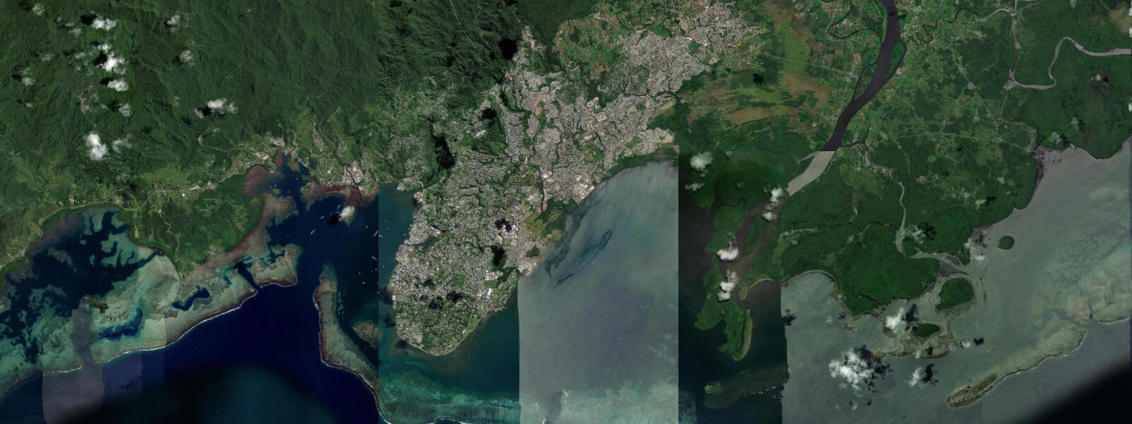
About tides at Navua, Fiji
A short guide to the coastline at Navua, Fiji — geography, sea state, and what the tide is actually doing under your feet.
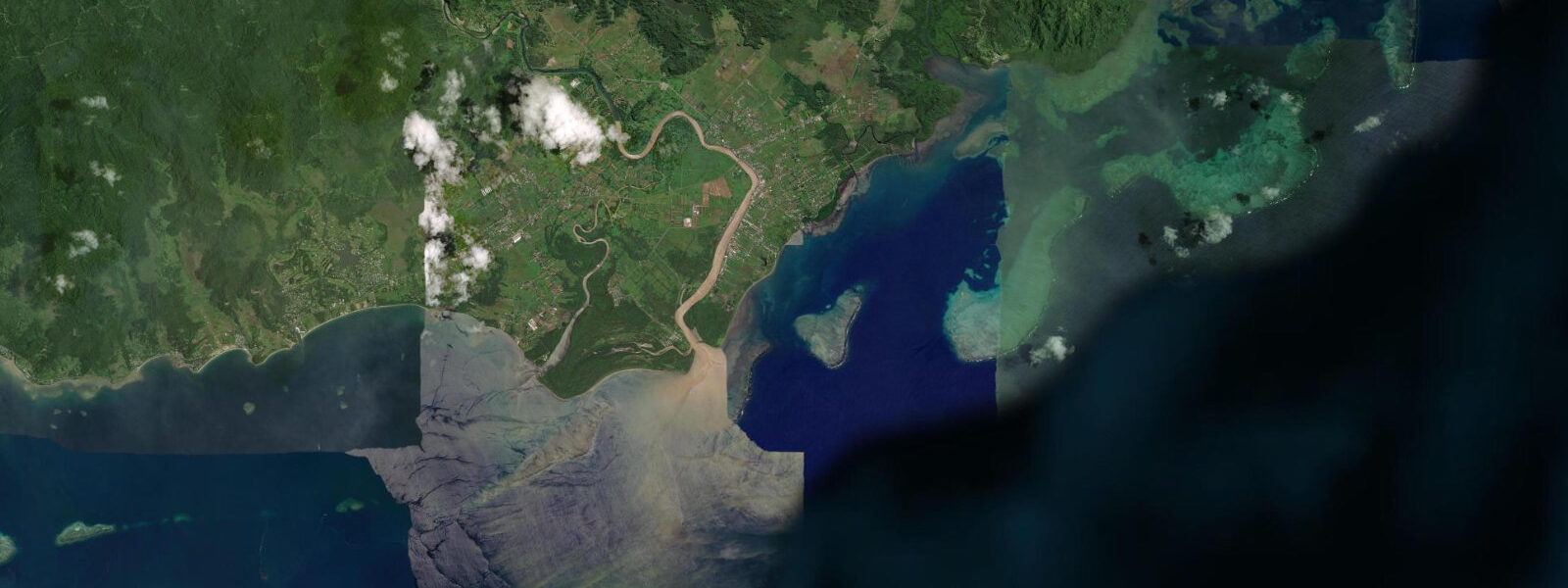
Navua sits at the mouth of the Navua River on Viti Levu's south coast, 35 km west of Suva, where tidal influence reaches well into the Central Division's largest river system. The tidal regime here is Pacific mixed semidiurnal: two highs and two lows per day, but with a pronounced diurnal inequality — the two highs differ in height by 0.3–0.6 m, and the two lows can differ by a similar margin. Mean spring range runs 0.8–1.5 m above chart datum, with the higher high waters reaching around 1.3 m and lower lows dropping close to 0.0 m. Knowing which high is the dominant one matters at Navua because the salt-fresh interface in the estuary migrates 5–8 km upstream on a strong flood and retreats toward the river mouth on the ebb.
The Navua River delta is mangrove country. Dense fringing mangrove lines both banks for several kilometres inland from the river mouth, filtering the red sediment that the upper Navua drains from its volcanic catchment. The mudflat exposed at low water in front of the delta is one of the more productive fishing grounds on Viti Levu's south coast. Mangrove jack — Lutjanus argentimaculatus, a hard-fighting ambush predator — holds in the mangrove roots and moves out onto the flat to feed on the incoming tide. Mullet work the same zone. Anglers fishing from small boats or wading the edge of the flat do best in the two hours either side of the flood turn, when the warmer, slightly saline water pushes upstream and fish move with it.
The punt-boat departure point on the Navua delta is the operational hub for river access into the gorge. The flat-bottomed timber punts that ferry visitors upriver are timed deliberately around the tide: departures are typically scheduled to coincide with the flood so the boat travels upstream with the current, reducing engine load and transit time on the lower tidal section. The return runs on the ebb. The window is predictable and local operators know it well — but if you miss the morning departure and try to push upstream on a strong ebb, expect slower going and higher fuel burn. The tidal section of the river extends roughly 12–15 km from the mouth; above that point the freshwater gradient takes over and river flow alone determines conditions.
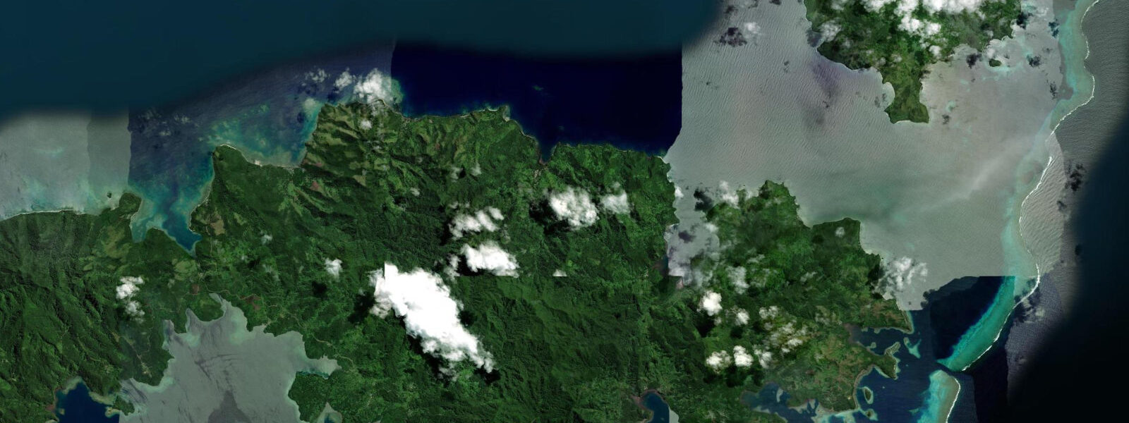
From the punt departure point, the Navua River Gorge is accessed in stages. The lower river is navigated by punt through a landscape of farmland and village coconut groves. At around 30 km from the coast the river character changes: the valley closes in, basalt walls rise to 100 m, and the gorge section begins. This upper reach is run by inflatable raft — Grade III rapids depending on rainfall — and the village walking track connecting Nabukavesi village and other settlements along the gorge rim adds a cultural layer to what would otherwise be a straight adventure trip. The Fijian villages along the river maintain traditional bure architecture: thatched meeting houses set on raised earth platforms, with the community layout reflecting traditional social hierarchy. Visitors are typically welcomed for kava ceremony, which follows a formal protocol — accepting the first bowl respectfully and clapping twice after drinking is the baseline expectation.
Navua town market, on the foreshore near the delta, is a practical stop before any river expedition. Locally grown produce, fresh fish landed from the delta fishing grounds, and basic supplies. The market runs every day but is busiest on weekdays when the punt operators stage from the adjacent wharf. If you need to check departure timing, the operators at the Navua market wharf are the direct source — they adjust schedules with the tide table, and those schedules shift forward by roughly 50 minutes each day as the tidal cycle cycles through.
Photographers working the Navua delta get two windows worth planning around. Dawn on a flood tide brings fish-hunting birds — egrets and kingfishers — to the mangrove edge as the water creeps in under the roots. Late afternoon on the ebb, when the red-brown water recedes across the grey mudflat against a low sun, gives the kind of tonal contrast that works even in flat light. The punt-boat silhouette on the river, bow high with a full tourist load heading into the gorge, is the obvious foreground element — but the mangrove channels to the south of the main channel, accessible by kayak at mid-tide, are less photographed and more interesting.
Tide data for Navua, Fiji comes from the Open-Meteo Marine API, a gridded model product. Timing accuracy is ±45 minutes, height accuracy ±0.3 m — usable for trip planning, not for navigation.
Tide questions about Navua, Fiji
Quick answers to the most common questions about tide times, range, and water access at Navua, Fiji.
When is the best time to book a Navua River Gorge punt trip, and does the tide affect departure times?
Yes, the tide drives departure scheduling. Punt operators time their morning departures to catch the flood — travelling upstream with the current cuts transit time and fuel on the lower tidal reach, which runs roughly 12–15 km from the Navua delta. Departures are typically early morning, around 08:00–09:00, but the window shifts about 50 minutes later each day as the tidal cycle progresses. Check directly with operators at the Navua market wharf the afternoon before your trip. The tidal section alone is not the scenic highlight — that's the basalt gorge 30 km upstream — but fighting the ebb on the lower river makes the journey noticeably slower.
Is the Navua delta good for fishing, and what tides should anglers target?
The mudflat and mangrove edge at the Navua River mouth are productive for mangrove jack and mullet. Mangrove jack hold in the root structure at low water and move out to feed as the flood pushes in — the two hours either side of the flood turn are the most consistent window. At Navua, mean spring range runs 0.8–1.5 m, so the tidal movement is moderate rather than dramatic, but the salt-fresh interface shift of 5–8 km upstream is enough to concentrate fish in predictable zones. Small boats or wading the flat edge are the standard approach. Lure fishing along the mangrove margin on the incoming tide accounts for most of the jack catches.
Can families with children visit Nabukavesi village via the river route?
The lower river punt section is flat water and accessible for children — no special skills required, and the traditional Fijian villages visible from the boat make it a strong cultural experience. The upper gorge section involves Grade III white-water rafting, which typically has a minimum age of around 12 (operator-specific; confirm when booking). Kava ceremony in the villages is open to adults and older children; the formal protocol is straightforward — accept the bowl, clap twice after drinking, and follow the lead of your guide. The punt trip alone, without the gorge extension, is a genuine half-day outing that works well for mixed-age groups.
What is the diurnal inequality at Navua, and does it affect how I read the tide times?
Navua has Pacific mixed semidiurnal tides — two highs and two lows each day, but the two highs differ in height by roughly 0.3–0.6 m, and the two lows can differ similarly. This means the higher high water and the lower high water are not equivalent events. For the punt-boat window, the flood that matters is the one moving upstream in the morning. For fishing, the lower low water exposes more of the mudflat and concentrates fish in the remaining channels — often the more productive condition. Reading the tide table at Navua means checking not just the time of high but which high is dominant that day.
What photographic subjects does the Navua area offer, and when should I be there?
Two windows stand out. Dawn on a flood tide brings egrets and kingfishers to the mangrove edge — the incoming water flushes small fish into positions where birds hunt from the roots and lower branches. Late afternoon ebb, with the red-brown river water receding across grey mudflat in low-angle light, gives strong tonal contrast for landscape work. The punt-boat silhouette heading upriver in morning light is the classic shot, but the mangrove side-channels south of the main channel — accessible by kayak at mid-tide — are less photographed. Overcast light works well on the water; direct midday sun flattens the mudflat texture that makes the delta interesting.
7-day tide table — Navua, Fiji
Heights relative to MSL. Predictions: Open-Meteo Marine (MeteoFrance SMOC, 0.08° grid) — heights relative to MSL (not chart datum / LAT). Model-derived.
| Day | Type | Time | Height |
|---|---|---|---|
| Sun 21 Jun | Low | 04:02 | 0.1m |
| High | 10:15 | 1.3m | |
| Low | 16:34 | -0.1m | |
| High | 23:02 | 1.3m | |
| Mon 22 Jun | Low | 05:08 | 0.1m |
| Tue 23 Jun | High | 00:02 | 1.3m |
| Low | 06:11 | 0.2m | |
| High | 12:11 | 1.2m | |
| Low | 18:25 | 0.1m | |
| Wed 24 Jun | High | 00:53 | 1.3m |
| Low | 07:13 | 0.2m | |
| High | 13:15 | 1.1m | |
| Low | 19:16 | 0.2m | |
| Thu 25 Jun | High | 01:40 | 1.3m |
| Low | 08:10 | 0.2m | |
| High | 14:13 | 1.1m | |
| Fri 26 Jun | Low | 09:02 | 0.2m |
| High | 15:08 | 1.1m | |
| Low | 20:57 | 0.3m | |
| Sat 27 Jun | High | 03:15 | 1.3m |
| Low | 09:51 | 0.2m |