Beqa Island, Fiji tide times
Beqa Island, Fiji tide forecast — heights relative to MSL.
Tide chart for Beqa Island, Fiji
24-hour cosine-interpolated curve around the present moment. Heights relative to MSL. Predictions: Predictions: Open-Meteo Marine (MeteoFrance SMOC, 0.08° grid).
Sun, moon and conditions on Sun 21 Jun
Snapshot at build time — refreshes daily. Sea state from Open-Meteo Marine.
Highs and lows next 7 days
Every predicted high and low for the next week, with the daily tidal coefficient (0–120; higher = bigger swing, > 95 means stronger currents).
Other spots nearby
The three closest curated TideTurtle locations to Beqa Island, Fiji, measured by great-circle distance.
Today's solunar windows
Solunar tradition: major periods are the ≈3h windows around moon transit and opposition; minor are ≈2h around moonrise and moonset. Pair with the local tide stage and wind for the best read.
Cycle dates near Beqa Island, Fiji
Next spring tide on Sat 20 Jun (range 1.3m). Next neap on Wed 24 Jun.
Spring tides cluster around new and full moons (biggest swings). Neap tides land on quarter moons (smallest swings). See the spring tide and neap tide glossary entries for the why.
About tides at Beqa Island, Fiji
A short guide to the coastline at Beqa Island, Fiji — geography, sea state, and what the tide is actually doing under your feet.
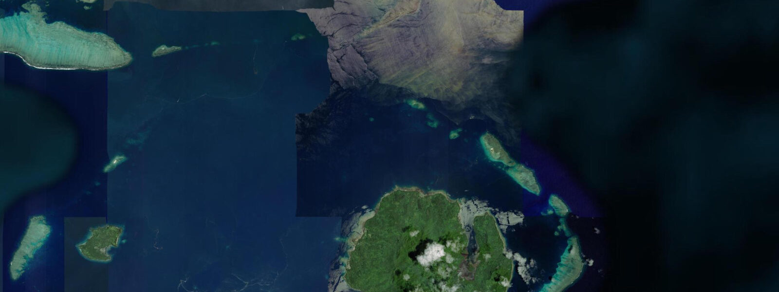
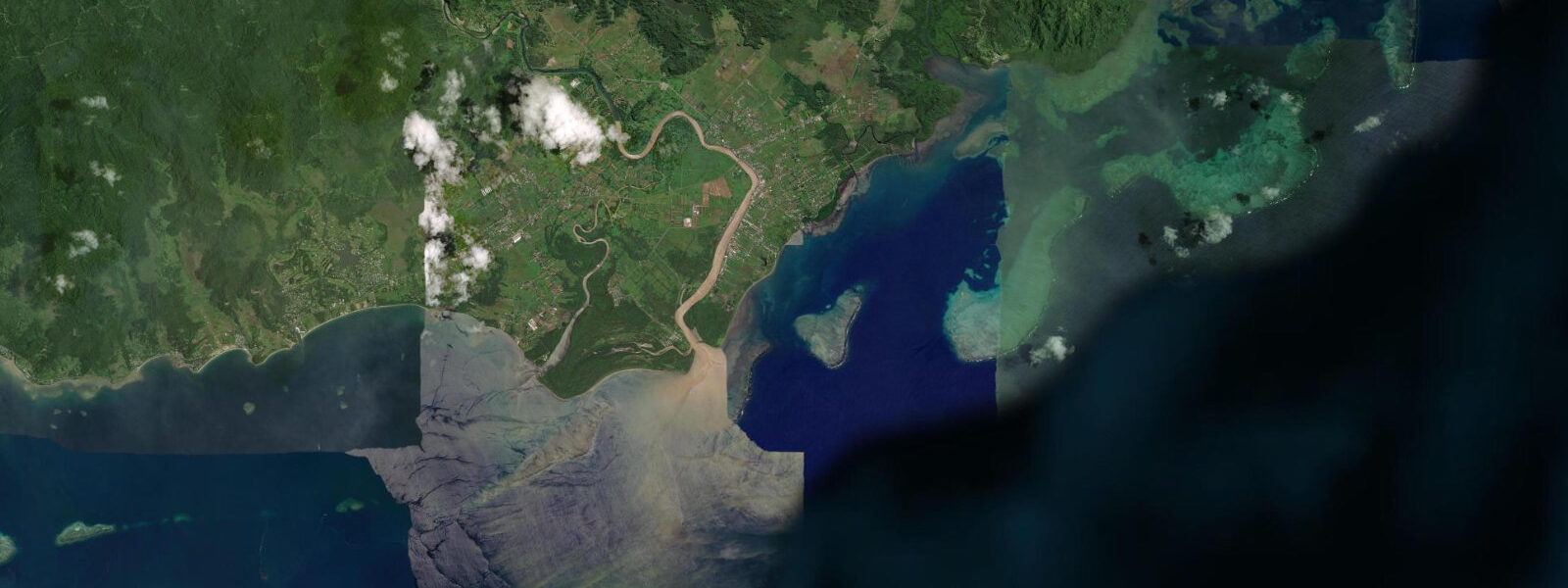
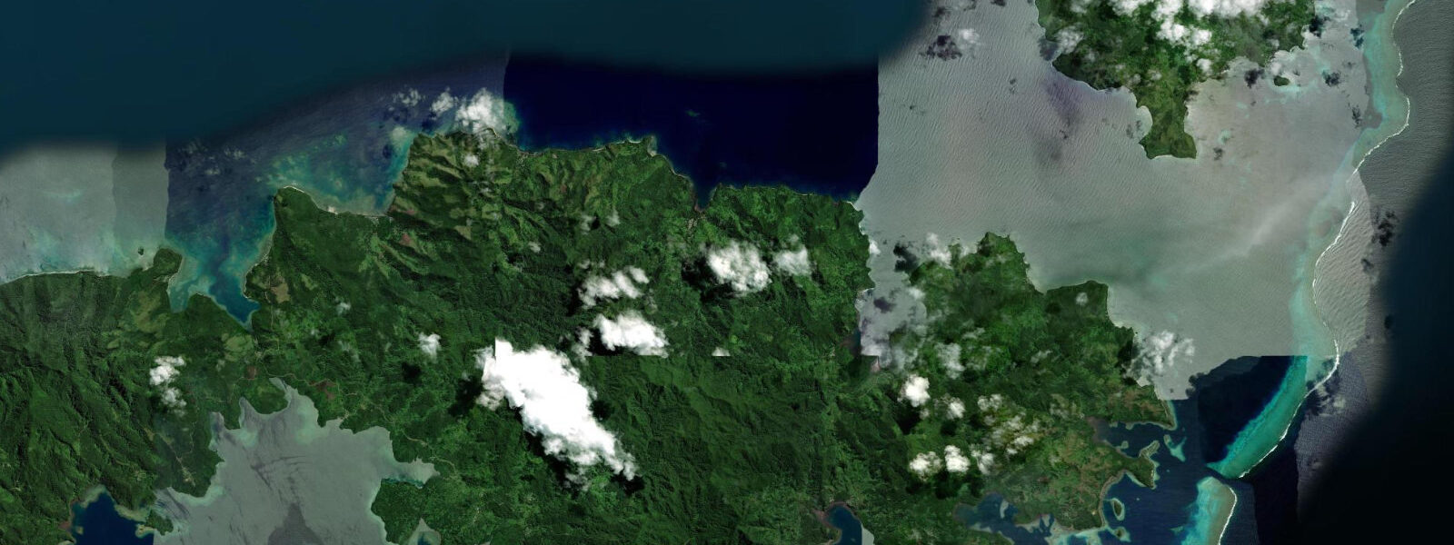
Beqa Island rises from the Beqa Lagoon 10 km south of Viti Levu's south coast, roughly 45 km by boat from Suva. The island itself is volcanic — steep interior ridges, dense rainforest, and a small permanent population concentrated in coastal villages including Sawau. But it is the lagoon, not the island, that draws people here from across the Pacific.
The Beqa Lagoon wraps approximately 60 km in circumference around the island and extends toward the Viti Levu mainland, forming one of the largest fringing reef systems in the Pacific. The tidal regime is Pacific mixed semidiurnal, mean spring range 0.8–1.5 m — modest amplitude, but at these depths the range matters. The lagoon floor sits at 10–40 m in the outer sections, shallowing rapidly over bommies — coral pinnacles that rise from depth to within 1–2 m of the surface at low water. On a falling tide, the bommies that were submerged by a comfortable metre at high water become navigation obstacles. Local boat operators and experienced divers know the bommie fields by name and position; visiting skippers without that local knowledge run a real risk of grounding on a falling tide. The standard practice is to plan bommie transits for the two hours either side of high water, when the water column over each pinnacle provides adequate clearance.
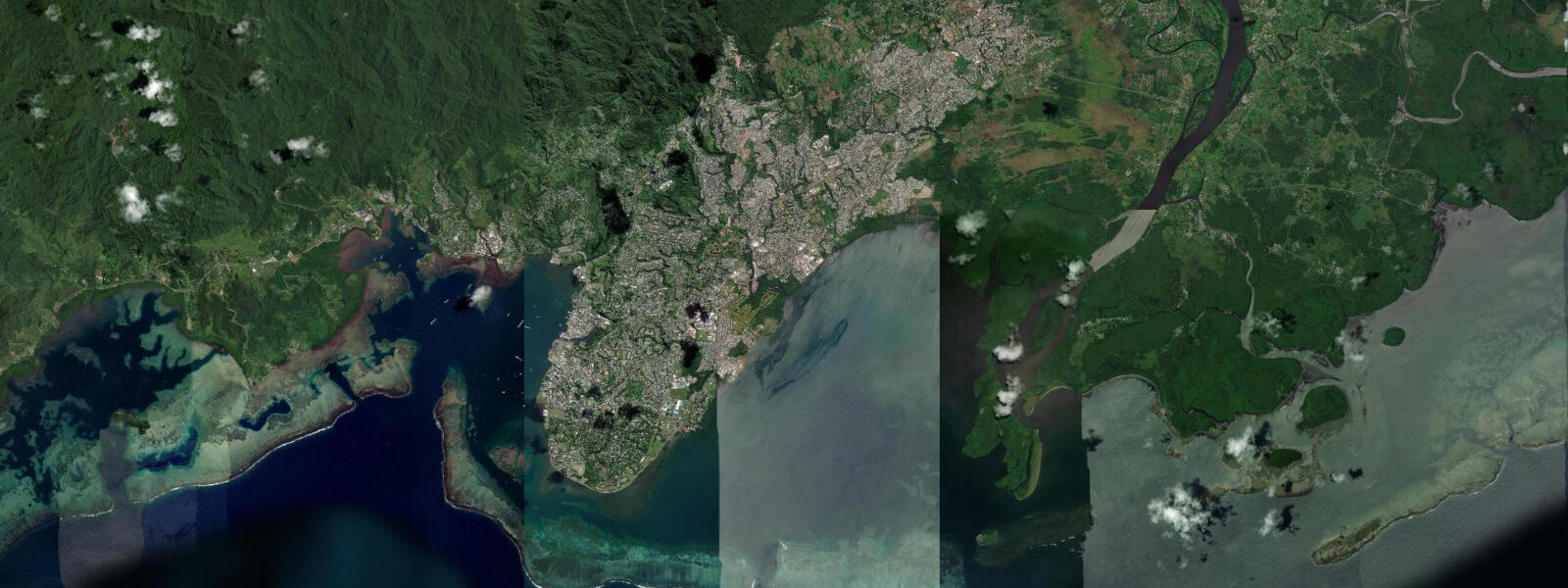
Shark diving is Beqa Lagoon's international signature. The Shark Reef Marine Reserve lies off the island's north coast and is serviced by operators out of Pacific Harbour on the Viti Levu mainland — a 45-minute boat run north across the lagoon. Bull sharks, Carcharhinus leucas, gather at the reserve in significant numbers: dives at the main feeding station typically produce 8–12 individuals, with larger aggregations possible between November and March. Bull sharks are shallow-water, estuarine-tolerant sharks with a direct disposition — this is not a species you drift past at a comfortable distance. The dives are structured: divers kneel on the sand at 30 m depth in a semi-circle, shark handlers manage fish scraps to position the animals, and the sharks work the water column above and around the group. Certification to Open Water level is sufficient, but comfort in close proximity to large animals at depth is not a given. If you are a new diver, log some non-shark dives in the lagoon before the feed dive. The bommie diving within the lagoon itself — outside the reserve — is world-class for reef fish diversity and coral cover at shallower depths, and is accessible regardless of shark-dive booking.
Beyond the underwater draw, Beqa Island is the origin point of the Fijian firewalking tradition. Only members of the Sawau clan, whose village is on Beqa, hold the hereditary right to walk on hot volcanic stones — the vilavilairevo. The tradition is not a performance that evolved for tourism: it predates Fijian contact with the outside world and is tied to a specific cultural contract within the Sawau lineage. Contemporary demonstrations do occur at hotels on the mainland, performed by Sawau clan members, but the origin of the practice is physically tied to the island itself. Visiting Sawau village on Beqa requires coordination through a village liaison or operator — independent visits are not the norm — and the protocol on arrival follows the sevusevu ceremony, presenting kava root to the headman before any further engagement.
At the water level, Beqa's beaches are readable for paddlers and swimmers with reference to the tide. High water brings the lagoon up against the beach vegetation on the narrower strips; low water exposes a sandflat on the north and east coast bays that is calm enough for children. Kayaking within the lagoon at high water, with bommies submerged, is straightforward. On a significant ebb, the same route requires constant attention to water colour — deep blue over open water, greenish-brown shimmer over a shallow bommie top. Paddlers unfamiliar with the lagoon should stay in the marked boat channels or travel with someone who knows the bommie positions.
Photographers targeting the shark dives need to arrange an underwater camera or housing in advance — the 30 m depth and ambient light conditions at the feeding site reward wide-angle shots. Topside, the view from the Beqa ridgeline across the lagoon toward Viti Levu at low water, when the bommie pattern becomes visible as colour variation on the surface, is a less-common shot than the shark footage but more illustrative of what makes this lagoon distinct.
Tide data for Beqa Island, Fiji comes from the Open-Meteo Marine API, a gridded model product. Timing accuracy is ±45 minutes, height accuracy ±0.3 m — usable for trip planning, not for navigation.
Tide questions about Beqa Island, Fiji
Quick answers to the most common questions about tide times, range, and water access at Beqa Island, Fiji.
Do tides affect the shark dives at the Shark Reef Marine Reserve, and does the time of day matter?
The shark feed dives at the Shark Reef Marine Reserve off Beqa's north coast are conducted at around 30 m depth, where the 0.8–1.5 m tidal range has minimal effect on dive conditions. The scheduling constraint is logistical rather than tidal: operators depart Pacific Harbour on the Viti Levu mainland (45 minutes north by boat) in the morning to run two dives before early afternoon, when ocean conditions on the south Viti Levu coast can build. Bull shark aggregations are largest between November and March, when water temperature is highest. Dives run year-round, but numbers at the feed site are more variable outside peak season.
How dangerous is navigating Beqa Lagoon by boat at low tide, and what is the risk from bommies?
Bommie navigation in the Beqa Lagoon is a genuine hazard for unfamiliar skippers at low water. Coral pinnacles rise from 15–40 m depth to within 1–2 m of the surface at mean water level — at low spring water, the clearance over some bommie tops can drop to 0.5 m or less. The pinnacles are not uniformly marked. Local operators know the field by experience. The practical rule for visiting boats is to transit bommie areas within two hours either side of high water and to travel in the marked boat channels between Pacific Harbour and Beqa. Water colour is the visual cue: greenish-brown shimmer indicates a shallow bommie beneath. A depth sounder is mandatory.
Can I visit Sawau village and see the Fijian firewalking tradition on Beqa Island?
The vilavilairevo — firewalking on hot volcanic stones — originated with the Sawau clan of Beqa and remains a hereditary practice exclusive to that lineage. Visits to Sawau village on Beqa Island require advance coordination through a local operator or village liaison. Independent arrival is not appropriate; the sevusevu ceremony (presenting kava root to the village headman) is the required protocol for any visit. Full firewalking demonstrations on the island are not a regular scheduled event in the way they are at mainland hotels, which use Sawau clan members for their performances. Contact Pacific Harbour-based operators who have existing village relationships to arrange a genuine island visit.
What non-shark diving is available in the Beqa Lagoon, and what tidal conditions work best?
The Beqa Lagoon bommie fields offer exceptional reef diving at 10–25 m depth for divers who want variety beyond the shark feed dive. Coral cover and reef fish diversity are high — the lagoon's protected status under the marine reserve extends ecosystem benefits into the surrounding reef areas. High water is the safest time for bommie dives, as the pinnacles are fully submerged and navigating between them by boat is straightforward. Visibility in the lagoon typically runs 20–30 m on a calm day. Drift diving along the outer reef wall on the south side of the island adds a different profile — stronger current, larger pelagic species, and wall structure dropping beyond 40 m.
Is Beqa Island suitable for a family trip, or is it primarily a dive destination?
Beqa is primarily a dive destination, but the lagoon has family-friendly elements at the right tidal stage. Low water on the north and east coast bays exposes a calm sandflat suitable for children to wade and snorkel in shallow water. High water brings better snorkelling depth over the inner reef flats but narrows the beach. The shark feed dive has no formal minimum age but requires Open Water certification and comfort at 30 m depth — not appropriate for children. The boat transit from Pacific Harbour (45 minutes) is a straightforward open-water crossing that children handle fine in calm conditions. Accommodation on the island is limited; most visitors day-trip from Pacific Harbour resorts.
7-day tide table — Beqa Island, Fiji
Heights relative to MSL. Predictions: Open-Meteo Marine (MeteoFrance SMOC, 0.08° grid) — heights relative to MSL (not chart datum / LAT). Model-derived.
| Day | Type | Time | Height |
|---|---|---|---|
| Sun 21 Jun | Low | 04:02 | 0.1m |
| High | 10:12 | 1.3m | |
| Low | 16:34 | -0.1m | |
| High | 23:02 | 1.2m | |
| Mon 22 Jun | Low | 05:10 | 0.1m |
| High | 11:10 | 1.2m | |
| Low | 17:26 | 0.0m | |
| Tue 23 Jun | High | 00:00 | 1.3m |
| Low | 06:11 | 0.2m | |
| High | 12:10 | 1.2m | |
| Low | 18:21 | 0.1m | |
| Wed 24 Jun | High | 00:53 | 1.3m |
| Low | 07:13 | 0.2m | |
| High | 13:13 | 1.1m | |
| Low | 19:19 | 0.2m | |
| Thu 25 Jun | High | 01:39 | 1.3m |
| Low | 08:08 | 0.2m | |
| High | 14:13 | 1.1m | |
| Fri 26 Jun | Low | 09:02 | 0.2m |
| High | 15:12 | 1.1m | |
| Low | 21:00 | 0.3m | |
| Sat 27 Jun | High | 03:19 | 1.3m |
| Low | 09:51 | 0.2m |