Tórshavn, Faroe Islands tide times
Tórshavn, Faroe Islands tide forecast — heights relative to MSL.
Today's tide times for Tórshavn, Faroe Islands
Tide times at Tórshavn, Faroe Islands on Saturday, 4 July 2026: first high tide at 01:00am, first low tide at 04:06am, second high tide at 10:03am, second low tide at 04:03pm, third high tide at 10:18pm. Sunrise 03:46am, sunset 11:15pm.
Tide chart for Tórshavn, Faroe Islands
24-hour cosine-interpolated curve around the present moment. Heights relative to MSL. Predictions: Predictions: Open-Meteo Marine (MeteoFrance SMOC, 0.08° grid).
Sun, moon and conditions on Sat 04 Jul
Snapshot at build time — refreshes daily. Sea state from Open-Meteo Marine.
Highs and lows next 7 days
Every predicted high and low for the next week, with the daily tidal coefficient (0–120; higher = bigger swing, > 95 means stronger currents).
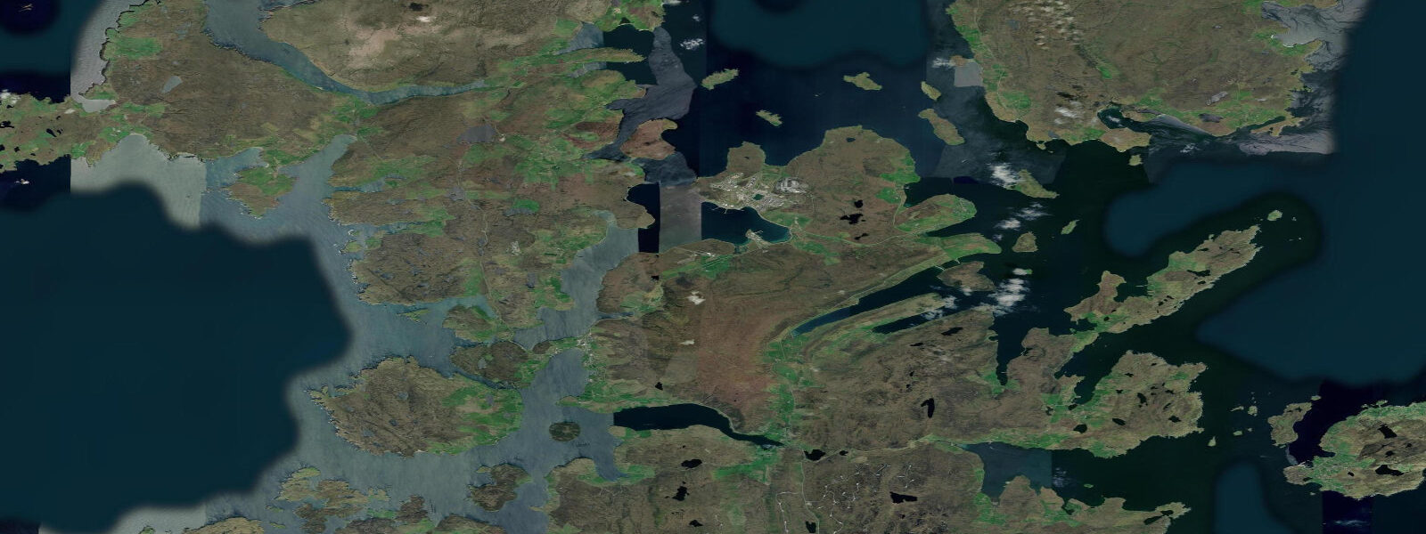
Other spots nearby
The three closest curated TideTurtle locations to Tórshavn, Faroe Islands, measured by great-circle distance.
Today's solunar windows
Solunar tradition: major periods are the ≈3h windows around moon transit and opposition; minor are ≈2h around moonrise and moonset. Pair with the local tide stage and wind for the best read.
Cycle dates near Tórshavn, Faroe Islands
Next spring tide on Sun 05 Jul (range 1.6m). Next neap on Wed 08 Jul.
Spring tides cluster around new and full moons (biggest swings). Neap tides land on quarter moons (smallest swings). See the spring tide and neap tide glossary entries for the why.
About tides at Tórshavn, Faroe Islands
A short guide to the coastline at Tórshavn, Faroe Islands — geography, sea state, and what the tide is actually doing under your feet.
Tórshavn is the capital of the Faroe Islands and one of the smallest national capitals in the world — population around 21,000 in the city, 54,000 across the entire archipelago. It sits on the eastern shore of Streymoy, the largest of the 18 islands, in a sheltered position that has made it the natural centre of the archipelago since Viking settlers established the Althing here in the ninth century. The old town of Tinganes — the original Norse parliament cape — still stands on a rocky promontory between the two historic harbour basins, its turf-roofed trading houses and government buildings forming one of the most intact Norse urban landscapes in the North Atlantic.
Tides at Tórshavn are semidiurnal. Mean spring range is approximately 1.6–1.8 m at the harbour, with neap range around 0.7–0.9 m. But the harbour is sheltered from the main tidal flow; the tidal story around Tórshavn is written in the sounds beyond it. Nólsoyarfjørður — the fjord between Streymoy and the island of Nólsoy directly opposite the harbour entrance — funnels the tidal flow as the Atlantic moves across the archipelago. The stream through this fjord reaches 3–4 knots at springs, running south on the flood and north on the ebb. Ferries and the fishing fleet treat this current as a fact of daily operation. Recreational boaters planning to leave the harbour toward the open coast of Streymoy or across to Nólsoy should check the current state before departure.
Nólsoy island, 6 km directly east of the harbour entrance, hosts the largest colony of Manx shearwaters in the Faroes and, more significantly, over 100,000 pairs of European storm petrels — the largest storm petrel colony in the world. The colony is active at night during summer; guided night walks from the Nólsoy village are run by local naturalists and are a genuine draw for birders visiting Tórshavn. The ferry from the old harbour (Gamlarædd) to Nólsoy takes 20 minutes and runs several times daily throughout the summer.
The harbour at Tórshavn divides into two basins: Vestaravág (west harbour) for the fishing fleet and commercial traffic, and Eystanarvág (east harbour) which is the smaller historic basin used by local boats and the Nólsoy ferry. The main quays are continuously active — the Faroe Islands' fishing industry is the economic foundation of the archipelago and Tórshavn handles both offshore fleet support and inter-island ferry traffic from the main Strandfaraskip Landsins terminal at Eystanarvág.
For anglers, the rocks and piers around the harbour edges produce coalfish (saithe), pollack, and occasional cod year-round — harbour rock edges are productive after dark when the fish move in from the fjord. The outer coast of Streymoy, accessible by road, offers exposed Atlantic cliff fishing for larger pollack and coalfish. Sea kayaking from the Tórshavn small-boat area in calm conditions allows exploration of the Nólsoyarfjørður coastline and the rock faces below the village of Hoyvík to the north — but always with an eye on the fjord current state and the forecast. Atlantic conditions around the Faroes change fast and the water temperature is cold year-round.
The Atlantic weather system that sits over and around the Faroes produces rapid condition changes year-round. A settled morning can deteriorate to 30-knot gusts within two hours as a frontal system crosses. The Faroese Meteorological Service (veðrið.fo) is the authoritative source for local forecasts and publishes detailed multi-hour wind and wave predictions for the key inter-island sounds.
Tide predictions here use Open-Meteo Marine, a global gridded model. Timing accuracy is typically ±45 minutes; height accuracy typically ±0.2–0.3 m. For Nólsoyarfjørður transits and open-coast passages on Streymoy, treat these as minimum tolerances.
Tide questions about Tórshavn, Faroe Islands
Quick answers to the most common questions about tide times, range, and water access at Tórshavn, Faroe Islands.
What is the tidal range at Tórshavn?
Mean spring range is approximately 1.6–1.8 m at Tórshavn harbour, with neap range around 0.7–0.9 m. Tides are semidiurnal — two highs and two lows per day. The more significant tidal effect is the current in Nólsoyarfjørður, the fjord between Streymoy and Nólsoy island directly east of the harbour entrance, where streams reach 3–4 knots at springs. Open-Meteo Marine predictions on this site carry typical accuracy of ±45 minutes on timing and ±0.2–0.3 m on height. For navigating the sounds beyond the harbour, consult local pilotage notes as well as the tide prediction.
How strong are the currents in Nólsoyarfjørður?
The tidal stream through Nólsoyarfjørður runs at 3–4 knots at spring tides, south on the flood and north on the ebb. This is a material consideration for any small boat leaving Tórshavn harbour toward the open coast or toward Nólsoy island. The regular ferry to Nólsoy (20 minutes) runs regardless of current state — the crew knows the fjord well. For kayakers and small powerboats, transiting with rather than against the stream saves significant effort. The stream is weakest in the centre of the fjord and stronger near the headlands. Slack water lasts only 10–15 minutes at springs.
Can I visit the storm petrel colony on Nólsoy?
The Nólsoy storm petrel colony — over 100,000 pairs, the world's largest — is active from May through August. The birds come ashore only at night, so guided night walks from the village are the standard way to experience the colony. Local guides are available through accommodation in Nólsoy and through Tórshavn tour operators. The ferry from Tórshavn old harbour (Gamlarædd) runs several times daily in summer. Plan to take an evening ferry, join the walk at dusk, and return on the last ferry or stay overnight in Nólsoy. The village has a small number of accommodation options for overnight stays.
What is Tinganes in Tórshavn?
Tinganes is the rocky promontory between Tórshavn's two harbour basins where the original Faroese Althing (parliament) met from the Viking age. The current buildings — mostly 17th and 18th century trading houses with traditional turf roofs, painted red and ochre — house government offices and are in active use as part of the Faroese government quarter. The Tinganes peninsula is freely accessible on foot from the harbour waterfront. The name combines 'Thing' (Norse assembly) with 'nes' (headland) — the same etymology as the Icelandic Þingvellir. The red-roofed buildings are the definitive image of Tórshavn and among the most photographed in the Faroe Islands.
Is shore fishing productive around Tórshavn?
Shore fishing is genuinely productive around Tórshavn's outer harbour walls and the rocky points along the Streymoy coast. Coalfish (saithe) and pollack are the primary targets year-round — both respond to weighted spinners and jig heads fished near the bottom in 5–15 m of water. Larger pollack work the edges of the tidal stream through Nólsoyarfjørður on the ebb, particularly at dusk. Cod are present but less reliable from shore. The exposed Atlantic coast of Streymoy, accessible by the main road north and south of Tórshavn, gives larger-fish opportunities from the cliff platforms — exercise caution above the surge zone.
8-day tide table — Tórshavn, Faroe Islands
Heights relative to MSL. Predictions: Open-Meteo Marine (MeteoFrance SMOC, 0.08° grid) — heights relative to MSL (not chart datum / LAT). Model-derived.
| Day | Type | Time | Height |
|---|---|---|---|
| Sat 04 Jul | High | 01:00 | -0.5m |
| Low | 04:06 | -1.3m | |
| High | 10:03 | 0.1m | |
| Low | 16:03 | -1.3m | |
| High | 22:18 | 0.3m | |
| Sun 05 Jul | Low | 04:44 | -1.4m |
| High | 10:45 | 0.0m | |
| Low | 16:40 | -1.2m | |
| High | 22:56 | 0.3m | |
| Mon 06 Jul | Low | 05:26 | -1.3m |
| High | 23:40 | 0.2m | |
| Tue 07 Jul | Low | 06:14 | -1.3m |
| High | 12:21 | -0.0m | |
| Low | 18:17 | -1.0m | |
| Wed 08 Jul | High | 00:26 | 0.1m |
| Low | 07:06 | -1.2m | |
| High | 13:20 | -0.0m | |
| Thu 09 Jul | Low | 08:06 | -1.1m |
| High | 14:34 | 0.0m | |
| Low | 20:43 | -1.0m | |
| Fri 10 Jul | High | 02:48 | 0.0m |
| Low | 09:17 | -1.2m | |
| High | 15:46 | 0.0m | |
| Low | 22:00 | -1.1m | |
| Sat 11 Jul | High | 00:00 | -0.9m |