Klaksvík, Faroe Islands tide times
Klaksvík, Faroe Islands tide forecast — heights relative to MSL.
Today's tide times for Klaksvík, Faroe Islands
Tide times at Klaksvík, Faroe Islands on Sunday, 5 July 2026: first high tide at 01:00am, first low tide at 07:50am. Sunrise 03:44am, sunset 11:16pm.
Tide chart for Klaksvík, Faroe Islands
24-hour cosine-interpolated curve around the present moment. Heights relative to MSL. Predictions: Predictions: Open-Meteo Marine (MeteoFrance SMOC, 0.08° grid).
Sun, moon and conditions on Sun 05 Jul
Snapshot at build time — refreshes daily. Sea state from Open-Meteo Marine.
Highs and lows next 7 days
Every predicted high and low for the next week, with the daily tidal coefficient (0–120; higher = bigger swing, > 95 means stronger currents).
Other spots nearby
The three closest curated TideTurtle locations to Klaksvík, Faroe Islands, measured by great-circle distance.
Today's solunar windows
Solunar tradition: major periods are the ≈3h windows around moon transit and opposition; minor are ≈2h around moonrise and moonset. Pair with the local tide stage and wind for the best read.
About tides at Klaksvík, Faroe Islands
A short guide to the coastline at Klaksvík, Faroe Islands — geography, sea state, and what the tide is actually doing under your feet.
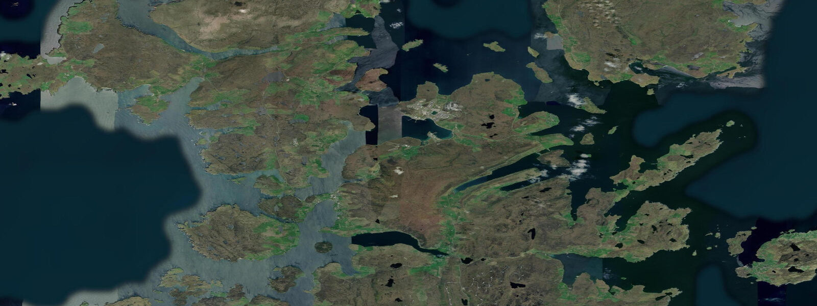
Klaksvík is the second-largest town in the Faroe Islands, population around 5,000, built around a deep natural harbour on the island of Borðoy in the Northern Isles (Norðoyggjar). The town sits at the inner end of Borðoyarvík bay, flanked by the steep mountains of Borðoy on either side and connected to the neighbouring island of Kunoy by a road bridge. The harbour at Klaksvík is the main base for the Faroe Islands' deep-sea fishing fleet — trawlers and longliners that work the North Atlantic and the waters around Iceland and Greenland as well as the Faroese home grounds.
Tides at Klaksvík are semidiurnal, with a mean spring range of approximately 1.5–2.0 m. The harbour is sheltered by the surrounding topography and the inner bay is calm in most wind conditions. The tidal story here is dominated by the sounds to the west and north. Norðoyjarfjørður — the sound between Borðoy and the island of Esturoy to the west — carries tidal streams that reach 3–5 knots at springs, one of the stronger inter-island currents in the archipelago. This sound is noted in Faroese pilotage guides as requiring careful tidal planning for any vessel not in the commercial ferry class. Kayakers and small boat sailors transiting Norðoyjarfjørður should plan the passage around the 2-hour slack water window.
The route between Klaksvík and Tórshavn runs via the Hvíthamar tunnel under Borðoy (opened 2006) and the road across Esturoy — about 45 km and 50 minutes of driving. Before the tunnel, inter-island passage required a ferry subject to weather and tidal conditions. The subsea tunnel network has transformed connectivity across the Northern Isles and remains an ongoing infrastructure project: further connections are planned to the more remote northern islands. The tunnels are single-lane in the older sections and require passing places to be used for oncoming traffic.
For birders, Klaksvík is the base for reaching the seabird cliffs of the Northern Isles. The cliffs of Enniberg on northern Viðoy, accessible by road and on foot from Klaksvík via Viðareiði, reach 754 m — contested as one of the highest sea cliffs in Europe when measured vertically from the base. Puffins, razorbills, guillemots, and northern fulmars occupy the cliff face in their tens of thousands from April through August. Access to the cliff top requires a walk across moorland from Viðareiði village; the cliff edge itself should be approached with care — the vegetation overhangs in places.
Fishing from the Klaksvík harbour walls and the outer points of Borðoy gives year-round access to coalfish and pollack, with cod a reliable presence in winter. The deeper water directly off the harbour mouth shelves quickly to 40–60 m — jigging for coalfish in this zone is productive on the ebb when the fish hold at the edge of the tidal stream. The commercial fleet's activity concentrates seabirds around the harbour, and winter visits to the quays often produce very close views of glaucous gulls and Iceland gulls among the commoner species foraging around the fish landings.
The brewery Føroya Bjór, founded 1888, produces the Faroe Islands' main domestic beer and operates from a building set directly against the mountainside above the harbour — visible as you approach on the main road. It is one of the oldest continuously operating businesses in the islands and a point of local identity.
Tide predictions here use Open-Meteo Marine. Timing accuracy is typically ±45 minutes; height accuracy typically ±0.2–0.3 m. For passages through Norðoyjarfjørður and the northern sounds, the current component is the primary navigational consideration — obtain tidal stream tables for the specific passage rather than relying on the harbour prediction alone.
Tide questions about Klaksvík, Faroe Islands
Quick answers to the most common questions about tide times, range, and water access at Klaksvík, Faroe Islands.
What are the tidal currents like around Klaksvík?
The harbour at Klaksvík is sheltered and the current inside Borðoyarvík bay is modest. The critical currents are in the sounds beyond: Norðoyjarfjørður between Borðoy and Esturoy to the west runs at 3–5 knots at springs and is noted in pilotage guides as requiring careful tidal planning for any small vessel. Other sounds in the Northern Isles cluster reach 4 knots or more. Mean spring tidal range at Klaksvík is approximately 1.5–2.0 m. For passages between the Northern Isles, consult the tidal stream atlas for the specific sound rather than relying on the harbour tide prediction alone.
What seabirds can I see from Klaksvík?
Klaksvík is the base for reaching the bird cliffs of the Northern Isles. The Enniberg cliffs on northern Viðoy (accessible via Klaksvík and Viðareiði) hold tens of thousands of puffins, guillemots, razorbills, and northern fulmars from April to August. The approach to the cliffs requires a moorland walk from Viðareiði; allow 1.5 hours each way. Klaksvík harbour itself concentrates birds around the fishing fleet year-round — winter visits regularly produce glaucous gulls and Iceland gulls on the quays. Gannets fish the sounds offshore from April. The 40 km road from Klaksvík to Viðareiði on northern Viðoy passes through fjord and mountain scenery typical of the Northern Isles.
How do I get from Tórshavn to Klaksvík?
The main route is by road: 45 km through the Hvíthamar subsea tunnel and across the road bridge from Esturoy to Borðoy, taking about 50 minutes. The 307 bus route runs several times daily from Tórshavn to Klaksvík. Before the tunnel opened in 2006, the journey required a ferry. The older sections of the tunnel system are single-lane with passing places; meet oncoming traffic carefully. There is no longer a regular passenger ferry on this route. Rental cars are available at Vágar airport, about 55 km from Klaksvík via Tórshavn.
What is the fishing industry like at Klaksvík?
Klaksvík is the primary deep-sea fishing port in the Faroe Islands. The fleet works the North Atlantic grounds — around the Faroes, Iceland, Greenland, and the Norwegian Sea. Main target species include blue whiting, Atlantic herring, and Atlantic cod, alongside Greenland halibut and prawns on the deepwater grounds. The harbour is busy with trawlers and longliners operating on a continuous working schedule; landings happen at the main fish quay. The Faroese fishing industry is quota-regulated and most catch is exported fresh or frozen to European markets, primarily the UK, Denmark, and Russia.
Is the brewery in Klaksvík worth a visit?
Føroya Bjór, the Faroe Islands' main domestic brewery, has operated from Klaksvík since 1888 and produces the beers sold throughout the islands. The brewery building is set against the mountainside above the harbour and is visible from the main road through town. Organised tours are available on certain days — check the brewery website or ask at local accommodation. The Faroe Islands impose high alcohol taxes, making the brewery tap and shop the most cost-effective place to try domestic products. The brewery's beers include standard lagers and seasonal releases tied to Faroese cultural occasions.
8-day tide table — Klaksvík, Faroe Islands
Heights relative to MSL. Predictions: Open-Meteo Marine (MeteoFrance SMOC, 0.08° grid) — heights relative to MSL (not chart datum / LAT). Model-derived.
| Day | Type | Time | Height |
|---|---|---|---|
| Sun 05 Jul | High | 01:00 | -0.4m |
| Low | 07:50 | -0.7m | |
| Mon 06 Jul | — | ||
| Tue 07 Jul | High | 02:00 | -0.4m |
| Wed 08 Jul | Low | 10:10 | -0.6m |
| High | 16:50 | -0.5m | |
| Low | 21:50 | -0.6m | |
| Thu 09 Jul | High | 17:00 | -0.4m |
| Low | 23:10 | -0.6m | |
| Fri 10 Jul | High | 05:50 | -0.4m |
| Sat 11 Jul | Low | 13:00 | -0.6m |
| High | 18:10 | -0.5m | |
| Sun 12 Jul | Low | 00:00 | -0.8m |