Haapsalu tide times
Haapsalu tide forecast — heights relative to MSL.
Today's tide times for Haapsalu
Tide times at Haapsalu on Saturday, 4 July 2026: first low tide at 09:00am. Sunrise 04:21am, sunset 10:38pm.
Tide chart for Haapsalu
24-hour cosine-interpolated curve around the present moment. Heights relative to MSL. Predictions: Predictions: Open-Meteo Marine (MeteoFrance SMOC, 0.08° grid).
Sun, moon and conditions on Sat 04 Jul
Snapshot at build time — refreshes daily. Sea state from Open-Meteo Marine.
Highs and lows next 7 days
Every predicted high and low for the next week, with the daily tidal coefficient (0–120; higher = bigger swing, > 95 means stronger currents).
Other spots nearby
The three closest curated TideTurtle locations to Haapsalu, measured by great-circle distance.
Today's solunar windows
Solunar tradition: major periods are the ≈3h windows around moon transit and opposition; minor are ≈2h around moonrise and moonset. Pair with the local tide stage and wind for the best read.
About tides at Haapsalu
A short guide to the coastline at Haapsalu — geography, sea state, and what the tide is actually doing under your feet.
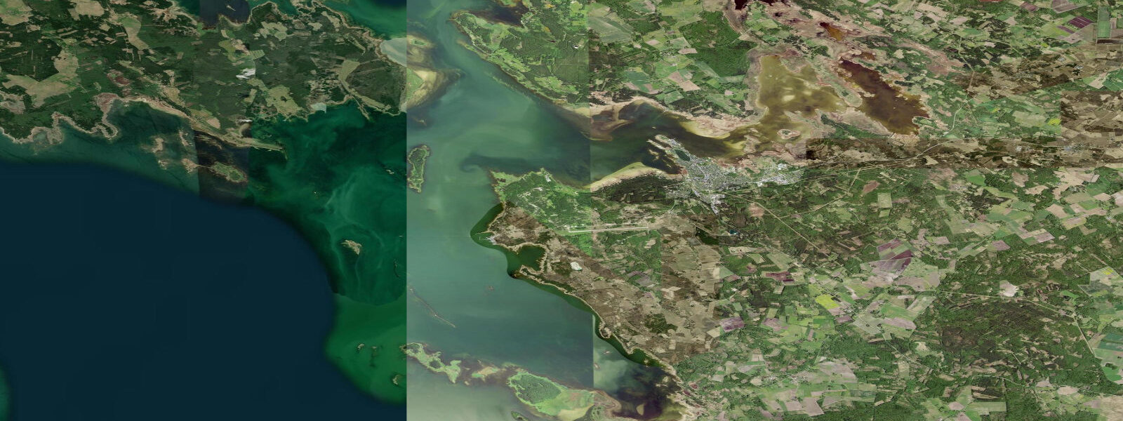
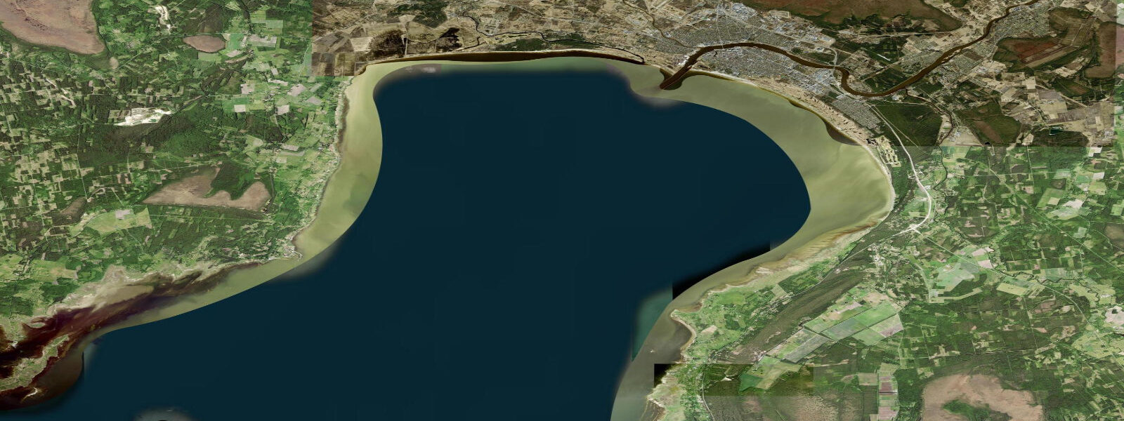
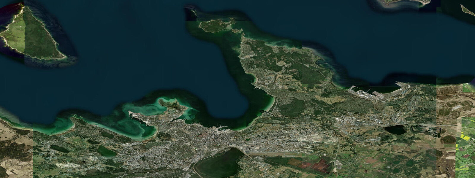
Haapsalu is a spa town on the western coast of mainland Estonia, where a shallow bay — the Haapsalu laht — reaches inland through a complex of reed beds, mudflats, and small islets backed by pine forest. The town itself is built on a low limestone peninsula that projects into the bay, with the ruins of the Bishop's Castle of Haapsalu (13th century, partially restored) anchoring the historic centre and the long wooden promenade along the bay — the Kuursaal promenade — stretching from the railway station pavilion to the park at its eastern end. The railway pavilion, built in 1905 for Tsar Nicholas II's arrival by the imperial train, is the longest railway platform in the Baltic States: 216 m.
The African Beach (Aafrika rand), as it has been called since the 1920s, is the shallow, sheltered swimming beach on the eastern side of the bay, popular for its warm, relatively clear water — the bay is shallow enough that it heats significantly in summer, reaching 24 to 26°C in July, warmer than many Baltic open-coast beaches. The name is an ironic reference to the warmth relative to the rest of Estonia's coast.
The White Lady of Haapsalu Castle is a local legend: a ghost said to appear in the castle's window during the full moon in August, a tradition maintained by a projection and theatrical performance staged for August visitors. The projection itself dates from the Soviet period; the castle ruin is genuine 13th-century German Order architecture.
The Baltic tidal regime at Haapsalu is genuinely microtidal: mean astronomical range 0.1 to 0.3 m. As throughout the Baltic, the tidal signal is marginal and dominated by wind-driven water-level changes. The bay at Haapsalu is particularly shallow — depths rarely exceed 2 to 3 m in the inner bay — and wind-driven water-level changes of 0.5 to 1.0 m are common during Baltic storm events. A sustained westerly wind piles water into the bay; an easterly drains it. This seiching character means that on stormy days the bay level fluctuates in ways that have nothing to do with the moon. The shallow water also creates a sensitive response to ice conditions: the bay typically freezes in January and February, with the ice cover reaching 20 to 40 cm in cold winters. Ice walking and cross-country skiing across the frozen bay to the offshore islands is a local winter tradition.
The therapeutic mud (sapropel) harvested from the bay bottom has been used at Haapsalu's sanatorium since the early nineteenth century. The spa tradition here is real and active: several hotels and a dedicated treatment centre offer mud therapy for musculoskeletal conditions, and Haapsalu was one of the main spa destinations for the Russian aristocracy and St Petersburg intelligentsia before 1914.
Predictions on this page come from Open-Meteo Marine, a gridded global ocean model. At Haapsalu's 0.1 to 0.3 m astronomical range, the model's typical accuracy (plus or minus 45 minutes, 0.2 to 0.3 m) equals the full signal. For actual water-level conditions, the Estonian Environment Agency (Keskkonnaamet) and the Tallinn University of Technology operate bay-level monitoring that is more informative than the astronomical tide prediction for any activity dependent on precise water level in the Haapsalu laht.
Tide questions about Haapsalu
Quick answers to the most common questions about tide times, range, and water access at Haapsalu.
When is the next high tide at Haapsalu?
The hero block at the top of this page shows the next predicted high at Haapsalu in local Eastern European Time (EET/EEST, UTC+2/UTC+3). Astronomical tide range is 0.1 to 0.3 m — essentially imperceptible in the shallow bay. What controls water level in the Haapsalu laht is wind: westerlies pile water in; easterlies drain it. Wind-driven level changes of 0.5 to 1.0 m are common in autumn and winter. The Estonian Environment Agency (Keskkonnaamet) publishes the authoritative sea-level data for the Estonian coast.
What is the tidal range at Haapsalu?
Mean astronomical range is 0.1 to 0.3 m — the standard for the Estonian Baltic coast. The Haapsalu bay is shallow (2 to 3 m maximum depth in the inner bay) and responds sensitively to wind forcing: the bay behaves like a large tidal flat where wind drives the water in and out more than the moon does. Water-level changes of 0.5 to 1.0 m from wind setup are more practically relevant than the astronomical tide for any beach or bay activity planning.
Where do these tide predictions come from?
Open-Meteo Marine, a free gridded global ocean model. At Haapsalu's 0.1 to 0.3 m astronomical range, the model's uncertainty (plus or minus 45 minutes, 0.2 to 0.3 m) equals the full signal. The predictions are a background orientation, not a reliable guide to actual bay water level. The Estonian Environment Agency (Keskkonnaamet) and the Estonian Maritime Administration publish the authoritative sea-level and weather data for Estonian coastal waters.
What is the therapeutic mud tradition at Haapsalu?
Haapsalu's spa tradition dates from the 1820s when the therapeutic properties of the bay's sapropel mud — organic-rich anaerobic sediment from the reed bed–enclosed bay floor — were first formally promoted. The town became a fashionable destination for Russian aristocracy and St Petersburg medical tourists in the 19th century; Tchaikovsky visited in 1867. Several hotels and a dedicated balneology centre continue to offer sapropel mud treatments for musculoskeletal and skin conditions. The mud is harvested from the bay under controlled conditions. The tradition is genuine, the infrastructure is active, and the Estonian medical establishment recognises Haapsalu as a balneological resort.
Is this safe to use for navigation?
No. TideTurtle is a planning tool for recreational coastal activity, not a navigation resource. The Haapsalu bay is very shallow and the approaches require local knowledge — depths of less than 1 m at low wind-set-down conditions can leave channels impassable for keeled vessels. The Estonian Maritime Administration publishes charts for Estonian coastal waters. Open-Meteo Marine gridded predictions do not replace authoritative navigation sources, and wind conditions dominate over astronomical tide for bay water-level planning here.
7-day tide table — Haapsalu
Heights relative to MSL. Predictions: Open-Meteo Marine (MeteoFrance SMOC, 0.08° grid) — heights relative to MSL (not chart datum / LAT). Model-derived.
| Day | Type | Time | Height |
|---|---|---|---|
| Sat 04 Jul | Low | 09:00 | 0.2m |
| Sun 05 Jul | �— | ||
| Mon 06 Jul | High | 02:10 | 0.3m |
| Tue 07 Jul | — | ||
| Wed 08 Jul | — | ||
| Thu 09 Jul | — | ||
| Fri 10 Jul | Low | 15:00 | -0.1m |