Salinas tide times
Salinas tide forecast — heights relative to MSL.
Today's tide times for Salinas
Tide times at Salinas on Sunday, 21 June 2026: first low tide at 01:54am, first high tide at 08:20am, second low tide at 02:41pm, second high tide at 08:41pm. Sunrise 06:25am, sunset 06:25pm.
Tide chart for Salinas
24-hour cosine-interpolated curve around the present moment. Heights relative to MSL. Predictions: Predictions: Open-Meteo Marine (MeteoFrance SMOC, 0.08° grid).
Sun, moon and conditions on Sun 21 Jun
Snapshot at build time — refreshes daily. Sea state from Open-Meteo Marine.
Highs and lows next 7 days
Every predicted high and low for the next week, with the daily tidal coefficient (0–120; higher = bigger swing, > 95 means stronger currents).
Other spots nearby
The three closest curated TideTurtle locations to Salinas, measured by great-circle distance.

Today's solunar windows
Solunar tradition: major periods are the ≈3h windows around moon transit and opposition; minor are ≈2h around moonrise and moonset. Pair with the local tide stage and wind for the best read.
Cycle dates near Salinas
Last spring tide on Sat 20 Jun (range 1.7m). Next spring tide on Fri 26 Jun (range 1.3m). Next neap on Thu 25 Jun.
Spring tides cluster around new and full moons (biggest swings). Neap tides land on quarter moons (smallest swings). See the spring tide and neap tide glossary entries for the why.
About tides at Salinas
A short guide to the coastline at Salinas — geography, sea state, and what the tide is actually doing under your feet.
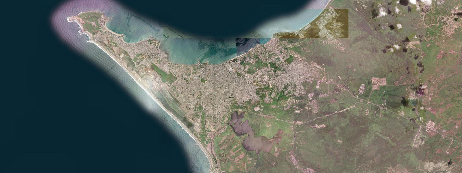
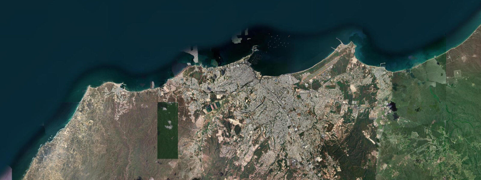
Salinas occupies the western tip of the Santa Elena Peninsula, the westernmost point of mainland Ecuador, where the Ecuadorian coast makes its final turn before facing the open Pacific. The town wraps around a crescent bay — Bahía de Salinas — that opens to the NW, sheltered from the prevailing SW swell by the peninsula itself. The result is one of the calmest bathing beaches on the Ecuadorian coast, while the exposed outer headlands only a kilometre away face conditions that can run rough year-round.
The tide regime at Salinas is the reference gauge for this stretch of coast. Mixed semidiurnal with pronounced diurnal inequality: spring range 2.5–3.0 m above Chart Datum, neap range 1.0–1.5 m. INOCAR (Instituto Oceanográfico de la Armada del Ecuador) operates a permanent tide gauge at Salinas port and publishes harmonic constants for this station; the Salinas record is one of the longest-running on the Ecuadorian coast.
The sheltered Bahía de Salinas is the most popular resort beach in Ecuador, especially from December through April when families from Guayaquil fill the waterfront hotels. The beach itself runs roughly 2.5 km along the bay, backed by a broad malecon. At high water the beach narrows significantly — the spring high-water line sits only 5–10 m from the seawall at several points. At low water, particularly spring lows during the dry season (June–November), the bay floor is exposed for 50–80 m and the water retreats enough to strand dinghies and small vessels moored on the shallow inside.
The outer headland at Punta Carnero, 5 km SE of town, is a different environment entirely. The bluff overlooks a rocky shelf exposed to full Pacific swell; the fishing from Punta Carnero, particularly for dorado, wahoo, and marlin in the deep blue water immediately offshore, is among the best in Ecuador. Sport fishing charters operate from the Salinas yacht club. The optimal casting window from the headland rocks is the incoming tide from one to two hours after the predicted low, when bait fish move back over the shelf.
Kayaking in the outer Salinas channel — between the marina and the outer buoy line — is best at high water when the depth over the reef patches makes navigation straightforward. The inner bay is navigable at all tide states for shallow-draft vessels. The channel between Salinas and the small island of El Muerto (Isla El Muerto, 3 km offshore) requires attention to current direction at tide turns: the channel narrows and current can run 1.5–2.0 knots at springs.
Water temperatures at Salinas follow the Humboldt Current seasonality: 18–22°C in the dry season (June–November), 23–26°C in the wet season (December–May). Whale watching from Salinas — specifically humpback whale watching — is possible on half-day boats between June and September when the whales move north from Antarctic feeding grounds to breed in warmer Ecuadorian waters.
Tide predictions here come from Open-Meteo Marine, a free gridded global ocean model. Accuracy is typically ±45 minutes on timing and ±0.2–0.3 m on height. For precise data, INOCAR publishes official harmonic tide tables; their Salinas gauge record is the authoritative source for this coast.
The bay is also a staging area for the Salinas International Yacht Club regatta, held annually in January–February; the event draws offshore yachts from the Pacific coast and the bay is busy with race traffic during this period. The tidal current through the outer channel affects race starts; the YC race committee adjusts start times to coincide with slack water at the channel buoy. Shore-side observers can watch the starts and finishes from the Malecon at the bay's western end, where the view takes in the full bay width.
Tide questions about Salinas
Quick answers to the most common questions about tide times, range, and water access at Salinas.
How much does the tide change the beach at Salinas bay?
Significantly. Spring range at Salinas is 2.5–3.0 m above Chart Datum. At spring high water the beach narrows to 5–10 m in front of the seawall at some points; at spring low water the bay floor exposes 50–80 m of flat sand and small vessels moored on the inner shelf can be left on wet sand. Neap tides produce a more modest change (1.0–1.5 m range), and on neap days the high-water beach is noticeably wider. Check the tide curve on this page before planning a beach day if precise water-level timing matters. The beach profile changes most dramatically on days approaching the new and full moon when spring range reaches its maximum.
When is the best time to fish from Punta Carnero?
Shore casters and rock fishers at Punta Carnero consistently report the best results on the incoming tide — particularly the two-hour window starting roughly one hour after the predicted low, when the flood moves bait fish back over the rocky shelf. Dorado, jacks, and occasionally wahoo can be reached with long casts from the outer rocks. Deep-water sport fishing charters from Salinas marina operate independently of the inshore tide cycle; their peak season is December–May when dorado and marlin are most active. Check INOCAR's published annual tide tables, which are available from the INOCAR website and from the Capitanía de Puerto in Salinas.
Where do the tide predictions on this page come from, and how accurate are they?
Open-Meteo Marine, a free gridded global ocean model. Accuracy is typically ±45 minutes on timing and ±0.2–0.3 m on height. INOCAR (Instituto Oceanográfico de la Armada del Ecuador) operates a permanent gauge at Salinas port and publishes the official harmonic tide tables for Ecuador. The INOCAR tables are the authoritative source for navigation, commercial fishing, and any safety-critical timing. This page is not for navigation. The Capitanía de Puerto in Salinas is located at the main marina and maintains a posted tide board updated daily.
Is it safe to kayak from Salinas marina to Isla El Muerto?
The 3 km crossing to Isla El Muerto is manageable for experienced sea kayakers in calm conditions. The channel between the island and the coast narrows and tidal current can run 1.5–2.0 knots at springs; plan the outbound leg on the slackening ebb and return on the first of the flood, or vice versa, to avoid paddling against the stream. Check the wind forecast (afternoon SW winds pick up from around 13:00 year-round) and the current state from the tidal curve on this page. Do not cross in swells above 1.5 m or with inexperienced paddlers.
When is humpback whale season near Salinas?
Humpback whales (Megaptera novaeangliae) arrive in Ecuadorian waters from June through September, travelling north from Antarctic feeding grounds to breed and calve in the warmer inshore zone. Peak sightings off Salinas and Punta Carnero run July–August. Half-day and full-day boat tours operate from Salinas marina; the whales are found in open water and whale sightings do not depend on tide state, though calmer sea conditions in the morning (before the afternoon wind develops) make for more comfortable crossings. NOAA's Salinas tide gauge record contributes to the global mean sea-level monitoring network via the PSMSL.
7-day tide table — Salinas
Heights relative to MSL. Predictions: Open-Meteo Marine (MeteoFrance SMOC, 0.08° grid) — heights relative to MSL (not chart datum / LAT). Model-derived.
| Day | Type | Time | Height |
|---|---|---|---|
| Sun 21 Jun | Low | 01:54 | -0.5m |
| High | 08:20 | 1.3m | |
| Low | 14:41 | -0.3m | |
| High | 20:41 | 0.9m | |
| Mon 22 Jun | Low | 02:48 | -0.3m |
| High | 09:15 | 1.1m | |
| Low | 15:42 | -0.3m | |
| High | 21:47 | 0.8m | |
| Tue 23 Jun | Low | 03:45 | -0.2m |
| High | 10:14 | 1.0m | |
| Low | 16:43 | -0.2m | |
| High | 22:57 | 0.8m | |
| Wed 24 Jun | Low | 04:50 | -0.1m |
| High | 11:08 | 1.0m | |
| Low | 17:43 | -0.2m | |
| Thu 25 Jun | High | 00:02 | 0.8m |
| Low | 05:57 | -0.1m | |
| High | 12:05 | 1.0m | |
| Low | 18:42 | -0.3m | |
| Fri 26 Jun | High | 00:57 | 0.8m |
| Low | 06:55 | -0.1m | |
| High | 12:58 | 0.9m | |
| Low | 19:26 | -0.4m | |
| Sat 27 Jun | High | 01:51 | 0.9m |
| Low | 07:43 | -0.1m | |
| High | 13:46 | 1.0m | |
| Low | 18:00 | -0.1m |