Roseau, Dominica tide times
Roseau, Dominica tide forecast — heights relative to MSL.
Today's tide times for Roseau, Dominica
Tide times at Roseau, Dominica on Saturday, 4 July 2026: first high tide at 04:10am, first low tide at 11:50am. Sunrise 05:39am, sunset 06:40pm.
Tide chart for Roseau, Dominica
24-hour cosine-interpolated curve around the present moment. Heights relative to MSL. Predictions: Predictions: Open-Meteo Marine (MeteoFrance SMOC, 0.08° grid).
Sun, moon and conditions on Sat 04 Jul
Snapshot at build time — refreshes daily. Sea state from Open-Meteo Marine.
Highs and lows next 7 days
Every predicted high and low for the next week, with the daily tidal coefficient (0–120; higher = bigger swing, > 95 means stronger currents).
Other spots nearby
The three closest curated TideTurtle locations to Roseau, Dominica, measured by great-circle distance.
Today's solunar windows
Solunar tradition: major periods are the ≈3h windows around moon transit and opposition; minor are ≈2h around moonrise and moonset. Pair with the local tide stage and wind for the best read.
About tides at Roseau, Dominica
A short guide to the coastline at Roseau, Dominica — geography, sea state, and what the tide is actually doing under your feet.
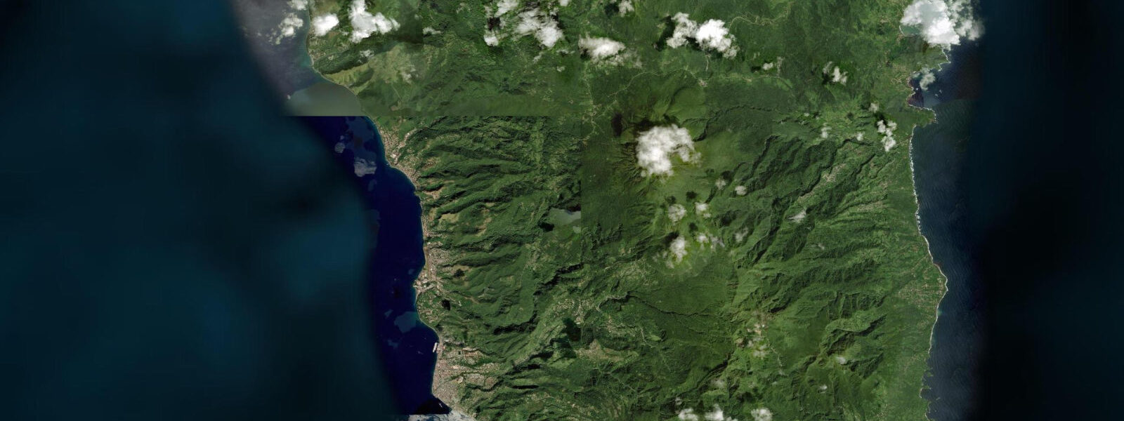
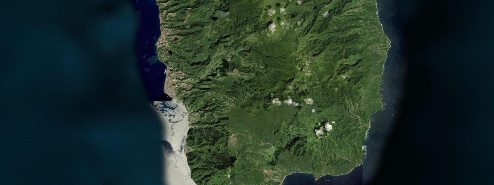
Roseau is the capital of Dominica, a compact port city on the southwest leeward coast at the mouth of the Roseau River, backed directly by volcanic slopes rising to the forested peaks of the island's interior. The setting is immediate — the city has no coastal plain behind it; the mountainside begins at the road edge above the waterfront. The tidal regime at Roseau is Caribbean mixed semidiurnal, spring range 0.3 to 0.5 metres, the microtidal pattern typical of the eastern Caribbean island chain.
The harbour at Roseau has a cruise ship berth (the Roseau Cruise Ship Pier extending into the bay) and the inter-island ferry connection to the other Windward Islands. The waterfront is the functional core of the city — the Old Market Plaza, rebuilt from the original slave market site, is a short walk north; the New Market with its fresh produce, ground provisions, and spice vendors is the daily commercial activity centre. Roseau's architecture reflects the island's thirteen changes of colonial possession between France and England: French Creole wooden houses with broad balconies and jalousie shutters stand on streets with English names, in a mix that is unique in the Caribbean.
The Champagne Reef, approximately 8 kilometres south of Roseau near the village of Pointe Michel, is the most visited natural feature on Dominica's west coast. The reef sits over a geothermal field that releases CO2 bubbles continuously from the volcanic seabed at 3 to 15 metres depth, producing a naturally carbonated snorkelling and diving experience with warm water (27 to 32°C), high visibility, and moderate coral cover. The bubbles rise from specific vent points in the rock; the concentration is highest directly over the vents. The reef is accessible from the shore at Pointe Michel; dive operators from Roseau run daily trips. The warm geothermal water creates a slight thermocline above the vent fields where cooler ambient sea water meets the heated vent output.
Hurricane Maria in September 2017 caused catastrophic damage to Dominica, destroying an estimated 90% of structures in some areas and stripping the forested interior. The island's recovery has been ongoing; coastal infrastructure, including the Roseau waterfront developments, received significant reconstruction investment. The forested slopes visible behind Roseau have substantially regrown, a mark of the island's exceptional rainfall and botanical productivity.
For snorkellers and divers, the west coast reef system from Roseau south to Scott's Head Marine Reserve at the island's southern tip is some of the most biologically productive diving in the Windward Islands. The combination of deep water close to shore, volcanic substrate, and the island's minimal coastal development (no large coastal hotels with beach raking and water sports disturbance) has preserved the reef in unusually good condition. Scott's Head — where the Atlantic meets the Caribbean at Dominica's southern point — is a 60-metre wall dive accessible from the village beach.
Tide predictions for Roseau come from Open-Meteo Marine, a global gridded ocean model. Accuracy is typically within plus or minus 45 minutes on timing and 0.2 to 0.3 metres on height.
The post-hurricane Maria recovery of Dominica has been a case study in Caribbean resilience and in the politics of climate adaptation. The island received significant reconstruction assistance from regional and international partners, and Prime Minister Skerrit declared the intention to rebuild Dominica as the world's first climate-resilient nation. The infrastructure investment that followed includes significant upgrades to the Roseau waterfront, the road network, and building standards. The visible result in Roseau is a rebuilt commercial core and a new sea defence along the waterfront that replaced the wave-damaged original.
The Boiling Lake, accessible by a strenuous 6-to-8-hour guided hike from Laudat, is the second-largest boiling lake in the world — a flooded fumarole where the water is heated to near-boiling point by volcanic activity below. The hike is demanding but well-documented; registered guides are available from Roseau and from Laudat itself. The trail passes through the Valley of Desolation, a geothermally active landscape of sulphur vents and acidic streams, before reaching the lake.
Tide questions about Roseau, Dominica
Quick answers to the most common questions about tide times, range, and water access at Roseau, Dominica.
What is the tide range at Roseau, Dominica?
Caribbean microtidal — mixed semidiurnal, spring range 0.3 to 0.5 metres. The leeward west coast is sheltered from the Atlantic northeast trades; two unequal highs and two unequal lows per day. The deep water immediately offshore — the 200-metre isobath is within a few kilometres of the Roseau waterfront — means the tidal range has minimal effect on navigation in the harbour. Neap range compresses to around 0.2 metres. Predictions come from Open-Meteo Marine — accuracy within plus or minus 45 minutes on timing and 0.2 to 0.3 metres on height.
What is the Champagne Reef and how do I get there?
Champagne Reef is a geothermally active snorkelling and diving site approximately 8 kilometres south of Roseau near the village of Pointe Michel, where CO2 bubbles vent continuously from the volcanic seabed at 3 to 15 metres depth, producing warm (27 to 32°C), naturally carbonated water in otherwise typical Caribbean reef conditions. The reef is accessible from the shore at Pointe Michel by swimming or snorkelling; the entry point is marked. Dive operators from Roseau — Dive Dominica, Cabrits Dive Centre, and others — run regular trips to the site with equipment. The coral and fish life on the reef above and around the vent field is healthy; nurse sharks occasionally rest in the deeper sections. Entry from shore is direct; no boat is needed for snorkelling.
Is Dominica's rainforest accessible from Roseau?
Yes. The Morne Trois Pitons National Park — a UNESCO World Heritage Site covering most of the island's volcanic interior — is accessible from Roseau by road in under 30 minutes. The Trafalgar Falls (two waterfalls accessible by short trail from the Trafalgar village), the Boiling Lake (a 6 to 8 hour guided hike from Laudat), and the Valley of Desolation volcanic area are the main interior attractions. Guides are strongly recommended for the Boiling Lake trail; the route passes active volcanic vents and the valley conditions can change. Most road access to the interior is by 4WD; the approach roads are narrow and steep.
How do I get to Dominica from other islands?
Dominica is served by air from Canefield Airport (small domestic aircraft only) and Douglas-Charles Airport (jet-capable) on the northeast coast, with connections to Barbados, Antigua, Saint Lucia, Saint Maarten, and other Caribbean hubs. LIAT flew the main regional routes; following LIAT's suspension, regional connectivity is through Caribbean Airlines, Winair, and inter-island charter operators. Check current schedules as regional air service in the eastern Caribbean changes. Ferry service from Martinique and Guadeloupe also operates; L'Express des Îles runs the northern route. Journey times by ferry are 2 to 3 hours from the closest neighbouring islands.
What is the best dive site near Roseau?
Scott's Head Marine Reserve at Dominica's southern tip, 15 kilometres south of Roseau, is widely cited as one of the top dive sites in the Caribbean. The reserve covers the point where the Atlantic Ocean meets the Caribbean Sea; the vertical wall on the Atlantic-facing side drops 60 metres into the channel. The current concentrates nutrients and the fish density and species diversity on the wall reflects this. Nurse sharks, sperm whales (winter offshore), and various pelagics use the channel. The Champagne Reef, 8 kilometres south of Roseau, is the most accessible site for snorkellers; Scott's Head is primarily a boat dive. Dive operators from Roseau run regular trips to both.
5-day tide table — Roseau, Dominica
Heights relative to MSL. Predictions: Open-Meteo Marine (MeteoFrance SMOC, 0.08° grid) — heights relative to MSL (not chart datum / LAT). Model-derived.
| Day | Type | Time | Height |
|---|---|---|---|
| Sat 04 Jul | High | 04:10 | 0.5m |
| Low | 11:50 | 0.2m | |
| Sun 05 Jul | High | 18:50 | 0.4m |
| Mon 06 Jul | Low | 01:00 | 0.3m |
| High | 06:00 | 0.4m | |
| Low | 12:50 | 0.2m | |
| Tue 07 Jul | High | 07:00 | 0.4m |
| Low | 13:00 | 0.3m | |
| Wed 08 Jul | High | 20:50 | 0.5m |