Portsmouth, Dominica tide times
Portsmouth, Dominica tide forecast — heights relative to MSL.
Today's tide times for Portsmouth, Dominica
Tide times at Portsmouth, Dominica on Saturday, 4 July 2026: first low tide at 12:00pm. Sunrise 05:39am, sunset 06:41pm.
Tide chart for Portsmouth, Dominica
24-hour cosine-interpolated curve around the present moment. Heights relative to MSL. Predictions: Predictions: Open-Meteo Marine (MeteoFrance SMOC, 0.08° grid).
Sun, moon and conditions on Sat 04 Jul
Snapshot at build time — refreshes daily. Sea state from Open-Meteo Marine.
Highs and lows next 7 days
Every predicted high and low for the next week, with the daily tidal coefficient (0–120; higher = bigger swing, > 95 means stronger currents).
Other spots nearby
The three closest curated TideTurtle locations to Portsmouth, Dominica, measured by great-circle distance.
Today's solunar windows
Solunar tradition: major periods are the ≈3h windows around moon transit and opposition; minor are ≈2h around moonrise and moonset. Pair with the local tide stage and wind for the best read.
About tides at Portsmouth, Dominica
A short guide to the coastline at Portsmouth, Dominica — geography, sea state, and what the tide is actually doing under your feet.
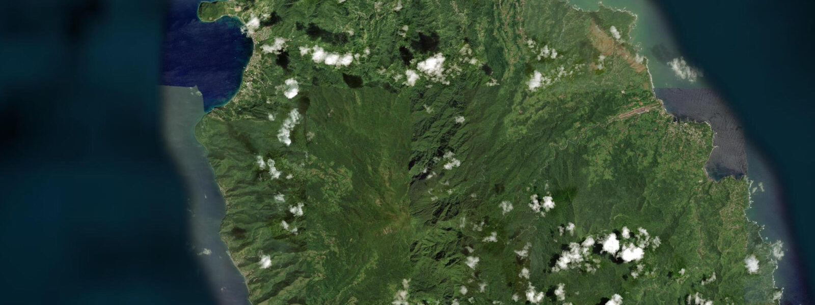
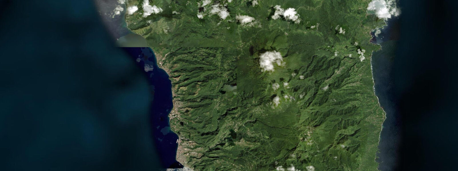
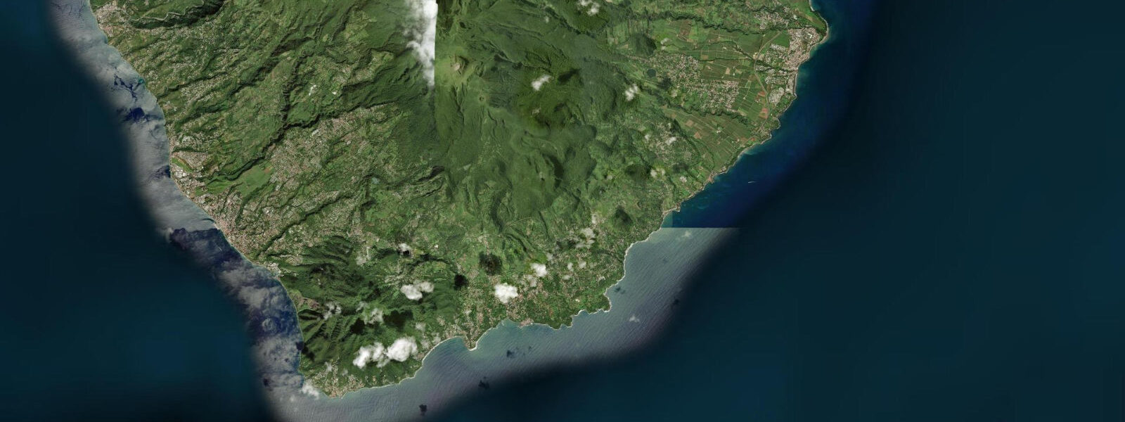
Portsmouth is Dominica's second town, on the northwest coast at the southern edge of Prince Rupert Bay, a large natural anchorage that has served as a major naval station since the eighteenth century. The British Fort Shirley complex on the Cabrits headland above the bay was the primary Caribbean base for the British Caribbean fleet for decades; the fort is now a national park and its ruins, restored sections, and the double headland configuration with panoramic views over Prince Rupert Bay and across to Guadeloupe are the primary historical attraction of the north coast.
The tidal regime at Portsmouth is Caribbean mixed semidiurnal, spring range 0.3 to 0.5 metres — microtidal. Prince Rupert Bay is a large, deep anchorage; the tidal current inside it is gentle and the range is similar to the open leeward coast. Two unequal high tides and two unequal low tides per day. The bay faces northwest and west, receiving modest trade wind chop through the day; the morning glass window before the trade fills is the calmest period for water activities.
The Indian River flows into the sea south of Portsmouth town, its mouth widening into a tidal estuary bordered by broad mangrove root systems. Boat trips up the river — narrow, motorless rowing boats poled silently under the mangrove canopy — are one of Dominica's most distinctive visitor experiences. The river is navigable for approximately 2 kilometres upstream; the vegetation closes overhead within 200 metres of the mouth, creating a tunnel of tropical green through which the boat moves in near-silence. The river bird life includes great blue herons in the mangrove, kingfishers, and the occasional boa constrictor visible in the overhead branches — Dominica's boas are non-venomous and reach 2.5 to 3 metres in length. The river trip ends at the Bush Bar, a jungle clearing with a thatched drinks stand; boats return by the same route. The river level is tidal at the mouth; the boat operators time departures to avoid the strongest incoming current.
Prince Rupert Bay is one of the primary overnight anchorages on the northern Windward Islands yacht circuit. The Portsmouth Association of Yacht Security (PAYS) is the local organisation that manages yacht services; PAYS boatmen (known as boat boys, a term that has evolved to reflect the organised service economy) approach visiting yachts with laundry, produce, guided river trips, and diesel on arrival. The system is organised and the service is genuine; it is part of the local economy, not a harassment dynamic.
Diving in Prince Rupert Bay includes the Cabrits Marine Reserve at the headland reef, with good coral cover and sea turtle activity, and the Douglas Bay drop-off on the north side of the bay, which features a steep wall accessible by short boat trip from the anchorage. Dive operators operate from both Portsmouth and from the anchorage.
Tide predictions for Portsmouth come from Open-Meteo Marine, a global gridded ocean model. Accuracy is typically within plus or minus 45 minutes on timing and 0.2 to 0.3 metres on height.
Prince Rupert Bay's strategic importance in the eighteenth century is visible in the scale of the Fort Shirley complex. The garrison was designed to house 600 soldiers and an artillery park sufficient to control the bay approaches; the construction required quarrying the local limestone and transporting water to the dry headland by donkey train. The British Caribbean fleet used the bay as an operating base during the wars with France that punctuated the century, and the headland's elevated position gave early warning of French fleet movements from Guadeloupe to the north. The fort fell into disuse after 1854 when the garrison was withdrawn.
Tide questions about Portsmouth, Dominica
Quick answers to the most common questions about tide times, range, and water access at Portsmouth, Dominica.
What is the Indian River boat trip at Portsmouth?
The Indian River trip is a guided rowing-boat excursion from the river mouth south of Portsmouth up approximately 2 kilometres of tidal river under a closed mangrove canopy. The boats are narrow, oar-powered, and motorless — the silence is part of the experience. The operators are licensed guides associated with the Portsmouth PAYS organisation. The trip takes 2 to 2.5 hours return; the upstream end is a jungle clearing with a thatched bar called the Bush Bar. Bird life in the mangrove includes herons, kingfishers, and wading birds; Dominican boa constrictors are visible in the overhead vegetation. Trips depart through the morning; book at the Portsmouth waterfront or arrange through the anchorage on arrival.
What is Fort Shirley at Cabrits National Park?
Fort Shirley is an eighteenth-century British military complex on the Cabrits headland overlooking Prince Rupert Bay, built between 1765 and 1815 as the primary Caribbean station for the British fleet. The double-headland setting gives the fort's cannon positions firing arcs across the bay approaches; the configuration explains why it was considered one of the most defensible positions in the Lesser Antilles. The fort was partially demolished in the early nineteenth century and partially restored in the twentieth; the national park covers both the fort ruins and the dry forest habitat of the Cabrits peninsula. An entrance fee applies; the walk to the upper battery takes 30 minutes from the lower entrance and gives views across Prince Rupert Bay to Guadeloupe.
What is the tide range at Portsmouth?
Caribbean microtidal — mixed semidiurnal, spring range 0.3 to 0.5 metres. Prince Rupert Bay is a large, deep anchorage; the tidal current inside it is gentle. Two unequal highs and two unequal lows per day. The Indian River mouth is the most tide-sensitive point locally — the incoming flood produces a current in the estuary that the boat operators account for when timing river trip departures. Neap range is around 0.2 metres. Tide predictions come from Open-Meteo Marine — accuracy within plus or minus 45 minutes on timing and 0.2 to 0.3 metres on height.
Is Portsmouth good for snorkelling and diving?
Yes. The Cabrits Marine Reserve at the headland reef has moderate to good coral cover with regular sea turtle activity; the reef is accessible from the beach at the base of the Cabrits headland. Douglas Bay drop-off on the north side of Prince Rupert Bay is a wall dive starting at 12 to 15 metres, accessible by short boat trip from the anchorage. Both sites have significantly lower visitor pressure than the Champagne Reef area south of Roseau, which translates to better fish density. Dive operators run from Portsmouth town and from the PAYS boat service network in the anchorage.
How do I get from Roseau to Portsmouth?
Portsmouth is approximately 28 kilometres north of Roseau by the main west coast road — a 45 to 60 minute drive depending on traffic and road conditions. The road is paved throughout; it is a winding mountain-coast route with occasional sharp bends above the sea. Buses run between Roseau and Portsmouth regularly through the day from the Roseau bus terminal; the journey takes roughly an hour and the fare is low. Rental car or shared taxi are the most convenient options for a day trip from Roseau. Day sails from the Roseau anchorage to Prince Rupert Bay are also popular with the yacht charter fleet.
5-day tide table — Portsmouth, Dominica
Heights relative to MSL. Predictions: Open-Meteo Marine (MeteoFrance SMOC, 0.08° grid) — heights relative to MSL (not chart datum / LAT). Model-derived.
| Day | Type | Time | Height |
|---|---|---|---|
| Sat 04 Jul | Low | 12:00 | 0.2m |
| Sun 05 Jul | High | 05:00 | 0.5m |
| Mon 06 Jul | Low | 01:00 | 0.3m |
| Tue 07 Jul | — | ||
| Wed 08 Jul | High | 20:50 | 0.5m |