Paphos tide times
Paphos tide forecast — heights relative to MSL.
Today's tide times for Paphos
Tide times at Paphos on Wednesday, 29 July 2026: first high tide at 03:00am, first low tide at 05:00pm, second high tide at 11:10pm. Sunrise 05:57am, sunset 07:56pm.
Tide chart for Paphos
24-hour cosine-interpolated curve around the present moment. Heights relative to MSL. Predictions: Predictions: Open-Meteo Marine (MeteoFrance SMOC, 0.08° grid).
Sun, moon and conditions on Wed 29 Jul
Snapshot at build time — refreshes daily. Sea state from Open-Meteo Marine.
Highs and lows next 7 days
Every predicted high and low for the next week, with the daily tidal coefficient (0–120; higher = bigger swing, > 95 means stronger currents).
Other spots nearby
The three closest curated TideTurtle locations to Paphos, measured by great-circle distance.

Today's solunar windows
Solunar tradition: major periods are the ≈3h windows around moon transit and opposition; minor are ≈2h around moonrise and moonset. Pair with the local tide stage and wind for the best read.
Cycle dates near Paphos
Next spring tide on Sat 01 Aug (range 0.3m). Last neap on Wed 29 Jul. Next neap on Tue 04 Aug.
Spring tides cluster around new and full moons (biggest swings). Neap tides land on quarter moons (smallest swings). See the spring tide and neap tide glossary entries for the why.
About tides at Paphos
A short guide to the coastline at Paphos — geography, sea state, and what the tide is actually doing under your feet.
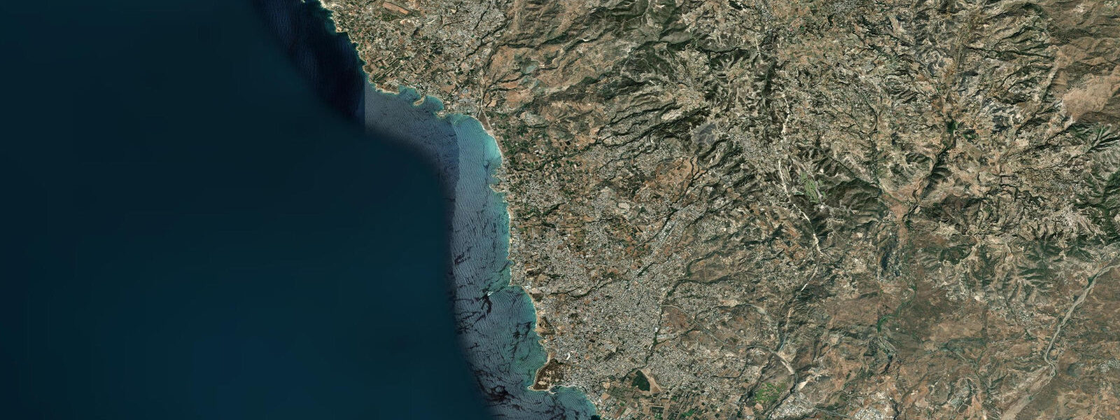
Paphos sits on the southwestern coast of Cyprus, where the limestone headlands of the Akamas Peninsula give way south to a string of sandy and rocky beaches and the medieval Paphos Castle stands at the entrance of Paphos Harbour. The harbour, the small fishing-boat anchorage and tour-boat marina that fronts the old town, has been continuously used since the Hellenistic period and now sits beside the archaeological park that holds the Roman-era mosaics of the House of Dionysos and the House of Aion. The castle itself, a Lusignan-era stronghold rebuilt by the Ottomans, stands on the western breakwater and is the recognisable harbour-mouth landmark across the Paphos seafront.
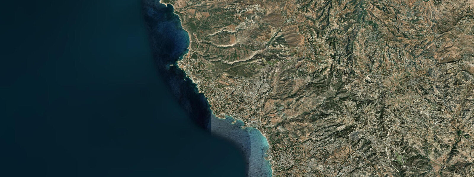
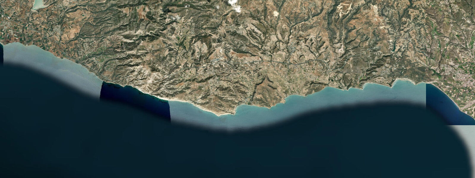
The town divides into Kato Paphos at the harbour and seafront and Ktima up on the hill behind, where the municipal market and the older residential district sit a kilometre inland from the coast. North of the town, Coral Bay and the Peyia coastline extend the sandy-beach stretch toward the Akamas, and Lara Bay further north shelters one of the eastern Mediterranean's regular loggerhead turtle nesting sites. South of Paphos, the coast turns rocky again and runs past Petra tou Romiou — Aphrodite's Rock, the offshore limestone sea stacks tied to the Aphrodite myth — toward the Limassol District boundary at Pissouri Bay.
The coast faces west and southwest into the open eastern Mediterranean, with long fetch in southwesterly weather and small sheltered coves along the rocky stretches. The astronomical tide range here is very small. Mean range along the Paphos seafront is in the order of 10 to 30 cm; spring tides only push the upper end.
Cyprus is microtidal — the eastern Mediterranean's near-enclosed geometry filters out most of the Atlantic tidal energy at the Strait of Gibraltar, and the residual signal reaching the southwestern Cyprus coast is small enough to be more rhythm than amplitude. Wind and atmospheric pressure dominate water-level variation absolutely. Winter southwesterlies and Levantine low-pressure systems can push water level along the Paphos seafront, into the harbour, and against the limestone sea stacks at Petra tou Romiou by 30 to 50 cm above or below the predicted line, regardless of the astronomical tide.
The Lara Bay turtle nesting site at the northern end of Paphos District depends on the seasonal nesting calendar — loggerheads come ashore between June and August and the hatchlings emerge from August through October — and the cycle that matters there is the calendar, not the daily tide. Coral Bay, the long sandy beach north of the town, is a calm-water swimming coast in summer and a windswept coast in winter. Shore anglers along the rocky points at Cape Drepano, the Sea Caves north of Coral Bay, and the limestone shelves south toward Petra tou Romiou target sea bream, grouper, and white seabream on the rocky bottom; the small-boat fishermen out of Paphos Harbour work the Akamas edge for swordfish and tuna in summer.
The Cyprus Department of Lands and Surveys and the Cyprus Ports Authority publish the operational tide and water-level data for the island and are the references of record for harbour pilotage and any activity that depends on precise water level. The Paphos Marina at the southern end of the harbour and the smaller anchorage at Latchi on the northern Akamas coast are the operational small-boat bases for the western Cyprus coast. The predictions on this page come from Open-Meteo Marine, a gridded global ocean model.
3 metres on height. On a microtidal coast like Paphos, that height uncertainty often equals or exceeds the entire predicted astronomical signal — useful for the daily rhythm, not for the precise level.
Tide questions about Paphos
Quick answers to the most common questions about tide times, range, and water access at Paphos.
When is the next high tide at Paphos?
The hero block at the top of this page shows the next predicted high at Paphos in local Eastern European Time (EET/EEST, UTC+2/UTC+3 with daylight-saving). The astronomical tide range here is roughly 10 to 30 cm — microtidal Mediterranean — so the 'high' and 'low' labels describe a very small water-level difference. What actually moves the water at Paphos Harbour, Coral Bay, and the rocky coast at Petra tou Romiou is wind and atmospheric pressure. The Cyprus Department of Lands and Surveys and the Cyprus Ports Authority publish the authoritative sea-level data for the island.
Why is the tide range so small at Paphos?
The Mediterranean is nearly enclosed. The Strait of Gibraltar at its western end is too narrow to transmit much of the Atlantic tidal energy, and Cyprus sits in the eastern basin where the residual signal is weakest. Mean astronomical range at Paphos is reduced to 10 to 30 cm. The Mediterranean's own resonance generates a small residual tide, but it is easily swamped by wind-driven setup. Winter southwesterly storms and Levantine low-pressure systems regularly push water levels 30 to 50 cm above the predicted line — more than the entire predicted tide range, and in the opposite direction in the wake of the system.
Where do these tide predictions come from?
Open-Meteo Marine, a free gridded global ocean model. The model estimates tidal height from oceanographic equations applied across a geographic grid rather than from harmonic analysis of a dedicated Paphos gauge record. Accuracy is typically within plus or minus 45 minutes on timing and within roughly 0.2 to 0.3 metres on height. On a microtidal coast like the Paphos shore, the model's height uncertainty often equals or exceeds the entire predicted astronomical signal. For authoritative Cyprus coastal sea-level data, the Cyprus Department of Lands and Surveys and the Cyprus Ports Authority are the references of record.
When can I see loggerhead turtles at Lara Bay?
Lara Bay, on the western edge of the Akamas Peninsula at the northern end of Paphos District, is a regular nesting site for loggerhead and green turtles. The nesting season runs from June through August, when the females come ashore at night to lay; the hatchlings emerge from late August through October. The Cyprus Department of Fisheries and Marine Research operates a conservation programme at the bay and asks visitors to keep off the dunes during the nesting and hatching seasons and to avoid lights on the beach at night. The astronomical tide is too small to matter for the nesting cycle — the calendar and the moonless nights are the variables that count.
Is this safe to use for navigation?
No. For port pilotage at Paphos Harbour, the Paphos Marina, or any vessel operation along the Cyprus southwestern coast and the Akamas Peninsula, use the Cyprus Ports Authority operational tide tables and Cyprus Department of Lands and Surveys hydrographic data. Open-Meteo Marine gridded predictions do not replace gauge-calibrated harmonic data for navigational use, and on a microtidal storm-driven coast the actual water level frequently differs from the predicted level by a larger margin than the entire astronomical tide. The rocky coast at Petra tou Romiou and the Sea Caves north of Coral Bay require chart navigation.
8-day tide table — Paphos
Heights relative to MSL. Predictions: Open-Meteo Marine (MeteoFrance SMOC, 0.08° grid) — heights relative to MSL (not chart datum / LAT). Model-derived.
| Day | Type | Time | Height |
|---|---|---|---|
| Wed 29 Jul | High | 03:00 | -0.5m |
| Low | 17:00 | -0.5m | |
| High | 23:10 | -0.3m | |
| Thu 30 Jul | Low | 04:50 | -0.5m |
| High | 11:10 | -0.2m | |
| Fri 31 Jul | Low | 18:00 | -0.5m |
| Sat 01 Aug | High | 00:00 | -0.3m |
| Low | 06:00 | -0.5m | |
| High | 12:06 | -0.2m | |
| Low | 18:45 | -0.5m | |
| Sun 02 Aug | High | 12:45 | -0.3m |
| Low | 19:00 | -0.6m | |
| Mon 03 Aug | High | 01:10 | -0.3m |
| Low | 07:15 | -0.5m | |
| High | 13:10 | -0.3m | |
| Tue 04 Aug | Low | 07:50 | -0.5m |
| High | 13:50 | -0.3m | |
| Low | 20:00 | -0.5m | |
| Wed 05 Aug | High | 02:00 | -0.3m |