
Latchi, Paphos District tide times
Latchi, Paphos District tide forecast — heights relative to MSL.
Today's tide times for Latchi, Paphos District
Tide times at Latchi, Paphos District on Friday, 19 June 2026: first high tide at 01:50pm. Sunrise 05:36am, sunset 08:06pm.
Tide chart for Latchi, Paphos District
24-hour cosine-interpolated curve around the present moment. Heights relative to MSL. Predictions: Predictions: Open-Meteo Marine (MeteoFrance SMOC, 0.08° grid).
Sun, moon and conditions on Fri 19 Jun
Snapshot at build time — refreshes daily. Sea state from Open-Meteo Marine.
Highs and lows next 7 days
Every predicted high and low for the next week, with the daily tidal coefficient (0–120; higher = bigger swing, > 95 means stronger currents).
Other spots nearby
The three closest curated TideTurtle locations to Latchi, Paphos District, measured by great-circle distance.
Today's solunar windows
Solunar tradition: major periods are the ≈3h windows around moon transit and opposition; minor are ≈2h around moonrise and moonset. Pair with the local tide stage and wind for the best read.
About tides at Latchi, Paphos District
A short guide to the coastline at Latchi, Paphos District — geography, sea state, and what the tide is actually doing under your feet.
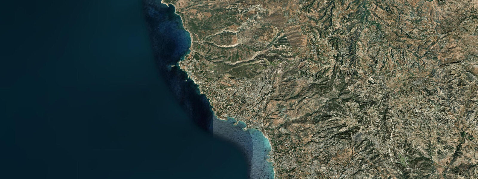
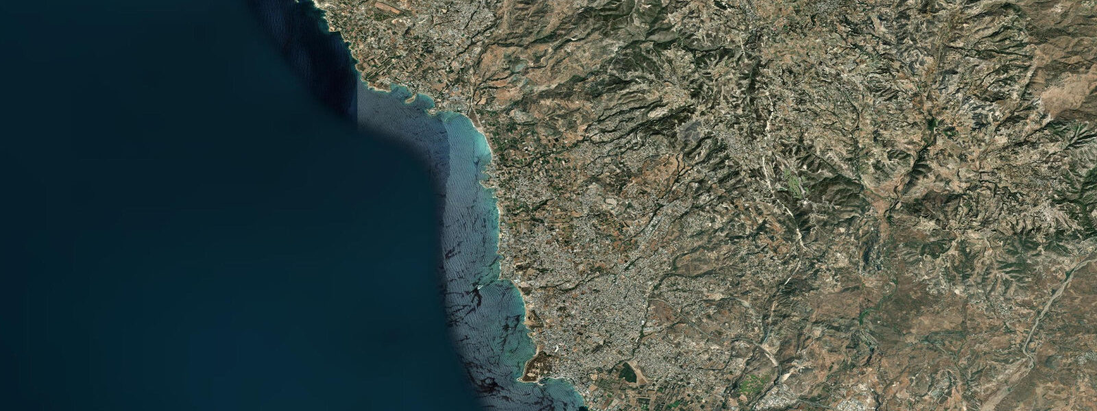
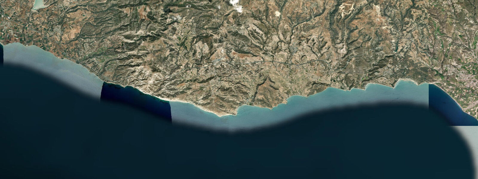
Latchi is a small fishing harbour at the northeast corner of the Akamas Peninsula — the most remote stretch of coast on Cyprus, and one of the least developed in the eastern Mediterranean. The harbour itself is modest: a concrete breakwater, a line of fishing boats, a few tavernas on the quay serving the catch of the day. Behind it, the Akamas rises as a ridge of limestone and scrub, bare at the top, dropping through pine and juniper to the cliff edge. The peninsula extends 25 km to the southwest, terminating at Cape Arnaoutis, where the coast bends south into the open sea. Between Latchi and the cape, there are no roads accessible by ordinary vehicle — the interior tracks require high-clearance 4WD — and no permanent settlements. What the peninsula has is the most intact coastal ecosystem in Cyprus, protected under the Akamas National Park designation.
The tidal regime is Eastern Mediterranean — mean range 0.1 to 0.3 m. At Latchi harbour, the tide changes water depth against the quay wall by 0.1 to 0.2 m on a typical day. The boat operators working out of Latchi do not plan routes by tidal state; what they track is wind direction and sea condition, which at this exposed northwestern corner of Cyprus changes faster than the astronomical tide. The prevailing summer pattern is light variable to northerly by night, sea breeze from the west by early afternoon. Day boats from Latchi to Blue Lagoon run morning departures — typically 09:30 to 10:00 — to arrive before the afternoon chop builds on the open stretch north of the peninsula.
Blue Lagoon, also known as Fontana Amorosa at the northern tip of the peninsula, is the primary destination. It is not accessible by road — the track ends before the cliff, and the lagoon can only be reached by small boat through a narrow channel between limestone rock islets, or by a long cliff-top walk followed by a steep descent. The channel is navigable by small craft at all tide states given the minimal range, but skippers watch the rock islets for surge from any residual swell rather than the tide itself. At the anchorage inside the lagoon, the turquoise water over white limestone sand is the result of shallow depth — 1 to 3 m — and the reflective substrate, not any special optical property of the water. On busy summer days, 30 to 50 day boats crowd the anchorage; visiting before July or after August gives a fundamentally different experience.
The Pyrgos tis Rigainas — the Queen's Tower — stands on the hillside above the peninsula, visible from the sea as a solitary Byzantine watchtower in pale stone against the ridge. It dates to the medieval period and was likely a lookout post for the coastal approaches. From the water, it provides a navigational landmark for skippers returning to Latchi from the Blue Lagoon, aligning with the harbour entrance bearing.
Sea turtles are the other reason people come to Latchi. Both Caretta caretta (loggerhead) and Chelonia mydas (green turtle) are present in the waters around the Akamas Peninsula; nesting beaches are on the peninsula's western coast, below the clifftops, on sand beaches accessible only from the sea. The Department of Fisheries and Marine Research Cyprus runs monitoring on these beaches during the nesting season, late May through August, and has licensed turtle-watching boat operations out of Latchi. The timing of these trips is dictated by calm flat-water conditions and dawn light — turtles that have come ashore to nest return to the water at first light, and the observation window is narrow. Tidal state has essentially no bearing on turtle behaviour; sea surface conditions and light levels do. Trips that try to observe females returning to sea after overnight nesting depart Latchi at 05:00 to 05:30, before the morning calm breaks.
For kayakers, Latchi is the launch point for a multi-day coastal traverse of the Akamas. Day one takes you south along the east face of the peninsula to the sea caves at Fontana Amorosa; the caves are at water level, entered through low limestone arches accessible at any tidal state given the negligible range. The cliffs rise directly from the water along most of this coast — there are no beaches to camp on the Akamas proper. The standard approach is to paddle out and back from Latchi in a single long day, or to use a support boat with a camp on one of the sandy coves on the western peninsula coast accessed separately from Paphos.
Anglers at Latchi work the rocky cape headlands east and west of the harbour on light spinning gear. The limestone reef structure directly below Cape Arnaoutis holds dentex and grouper; reaching it by boat from Latchi is a 40-minute run at normal harbour boat speeds. Shore fishing from the breakwater takes smaller species — garfish on the surface, sea bream on ledger — and is the most accessible option. Evening fishing from the breakwater, after 19:00 when harbour traffic drops, produces the quietest conditions and most consistent bites.
Families with children visiting Latchi will find the harbour beach east of the breakwater — coarse sand and pebble, calm inside the breakwater's wind shadow — the most sheltered option on the north Paphos coast. The water inside the breakwater arm is calm on most summer days. Open water to the west of the harbour is more exposed; conditions can change quickly when the afternoon westerly arrives.
Tide data for Latchi, Paphos District comes from the Open-Meteo Marine API, a gridded model product. Timing accuracy is ±45 minutes, height accuracy ±0.3 m — usable for trip planning, not for navigation.
Tide questions about Latchi, Paphos District
Quick answers to the most common questions about tide times, range, and water access at Latchi, Paphos District.
Does the tide matter for the boat trip from Latchi to Blue Lagoon?
Not significantly. The tidal range at Latchi is 0.1 to 0.3 m, and the channel between the rock islets at Blue Lagoon is navigable by small craft at all tide states — the skippers are watching for surge from residual swell on the islets, not waiting for the tide to rise. What the boat operators plan around is wind and sea condition: morning departures at 09:30 to 10:00 leave before the afternoon westerly sea breeze builds chop on the open stretch north of the peninsula. If you want a flat-water approach to the lagoon, book the morning trip and let the operator know you prefer calm conditions over a particular time.
When do sea turtles nest near Latchi and can I see them?
Loggerhead (Caretta caretta) and green (Chelonia mydas) turtles nest on the western beaches of the Akamas Peninsula from late May through August. The beaches are below clifftops accessible only from the sea, which is why the turtle-watching trips run from Latchi harbour. Licensed operators depart at 05:00 to 05:30 to observe females returning to the sea after overnight nesting — the observation window is the pre-dawn flat calm, not a tidal state. The Department of Fisheries and Marine Research Cyprus regulates access to the nesting beaches; book through a licensed Latchi operator to ensure the visit complies with protection protocols.
What is the Akamas National Park and how does it affect access from Latchi?
The Akamas Peninsula is Cyprus's westernmost land mass and its largest area of protected natural habitat, designated as a national park. The interior is accessible by high-clearance 4WD track from the Paphos side; ordinary vehicles cannot manage the terrain. From Latchi, the east face of the peninsula is most naturally reached by sea — kayak or small boat. The coastal fringe of the park has no permanent structures; cliff-backed coves and sea caves along the east face are accessible only from the water. Development inside the park boundary is restricted, which is why the coast north of Latchi looks today much as it has for centuries.
What is the Blue Lagoon and is it worth the boat trip from Latchi?
Blue Lagoon (also known as Fontana Amorosa) is an anchorage at the northern tip of the Akamas Peninsula, enclosed by limestone rock islets and accessible only by boat or a long cliff-top walk. The turquoise colour comes from shallow depth — 1 to 3 m — over white limestone sand. On busy summer days in July and August, 30 to 50 day boats anchor inside; visiting in May, June, or September gives dramatically less crowded conditions. The boat trip from Latchi takes approximately 20 to 30 minutes. The water is clear for snorkelling over the limestone bottom; bring your own equipment as hire is not always available from the day boats.
What shore fishing is available at Latchi harbour?
The harbour breakwater is the most accessible shore-fishing position. Garfish are present on the surface year-round and take a small float rig with a strip of fish. Two-banded sea bream work the base of the breakwater on a running ledger with sandworm or prawn; evening sessions after 19:00 are consistently the most productive as harbour boat traffic drops and fish move into the structure. The limestone reef headlands east and west of the harbour are the better ground for larger species — grouper and dentex hold the reef drop-offs — but these are most efficiently fished from a small boat rather than from shore.
8-day tide table — Latchi, Paphos District
Heights relative to MSL. Predictions: Open-Meteo Marine (MeteoFrance SMOC, 0.08° grid) — heights relative to MSL (not chart datum / LAT). Model-derived.
| Day | Type | Time | Height |
|---|---|---|---|
| Fri 19 Jun | High | 13:50 | -0.3m |
| Sat 20 Jun | Low | 08:10 | -0.6m |
| High | 14:50 | -0.4m | |
| Sun 21 Jun | Low | 22:00 | -0.6m |
| Mon 22 Jun | High | 17:00 | -0.4m |
| Low | 23:00 | -0.6m | |
| Tue 23 Jun | High | 18:00 | -0.4m |
| Wed 24 Jun | — | ||
| Thu 25 Jun | — | ||
| Fri 26 Jun | Low | 02:00 | -0.5m |