Protaras tide times
Protaras tide forecast — heights relative to MSL.
Today's tide times for Protaras
Tide times at Protaras on Sunday, 21 June 2026: first low tide at 10:10pm. Sunrise 05:29am, sunset 08:00pm.
Tide chart for Protaras
24-hour cosine-interpolated curve around the present moment. Heights relative to MSL. Predictions: Predictions: Open-Meteo Marine (MeteoFrance SMOC, 0.08° grid).
Sun, moon and conditions on Sun 21 Jun
Snapshot at build time — refreshes daily. Sea state from Open-Meteo Marine.
Highs and lows next 7 days
Every predicted high and low for the next week, with the daily tidal coefficient (0–120; higher = bigger swing, > 95 means stronger currents).
Other spots nearby
The three closest curated TideTurtle locations to Protaras, measured by great-circle distance.
Today's solunar windows
Solunar tradition: major periods are the ≈3h windows around moon transit and opposition; minor are ≈2h around moonrise and moonset. Pair with the local tide stage and wind for the best read.
About tides at Protaras
A short guide to the coastline at Protaras — geography, sea state, and what the tide is actually doing under your feet.
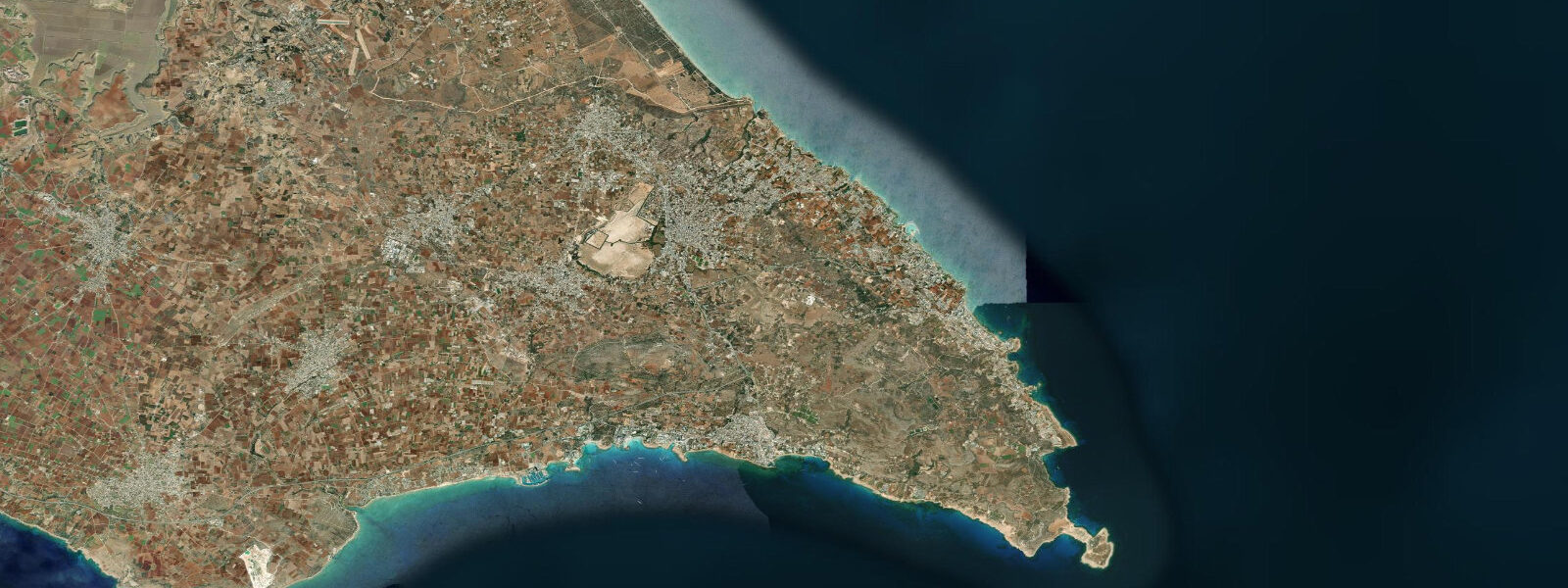
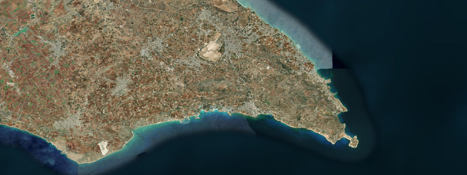
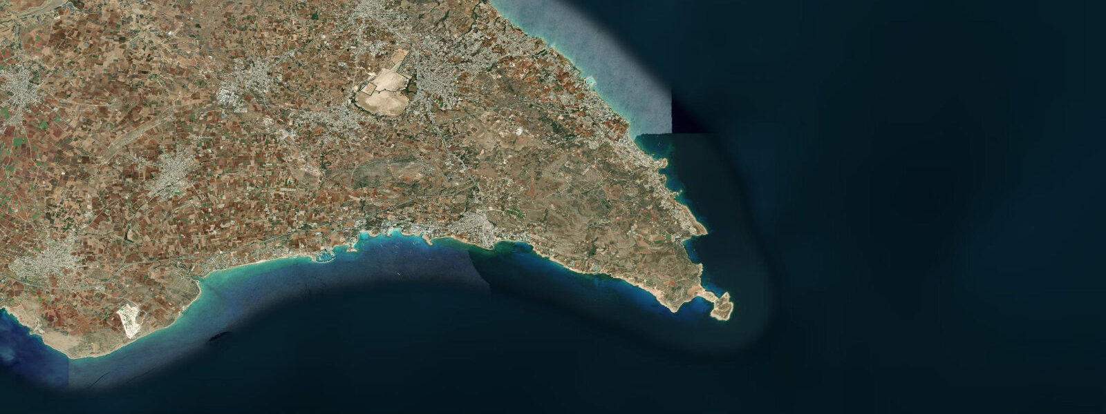
Protaras lies 10 km north of Ayia Napa along the eastern coast of Cyprus, where the limestone coastline opens into a series of gently curving sandy bays between low rocky headlands. The character here is different from Ayia Napa's concentrated nightlife zone — Protaras developed as a family resort, and the beach infrastructure reflects that: shallow sandy entries, supervised swimming zones, and calmer evening streets. Fig Tree Bay at the centre of the Protaras strip is consistently rated in European beach surveys among the finest in Cyprus. The bay takes its name from a fig tree planted on the small rocky islet 40 m offshore; the islet sits in 1 to 2 m of water and is accessible by wading at any state of the tide given the minimal tidal range. The bay is semicircular, approximately 250 m across, with a gently shelving sandy floor and clear water. Secchi-disk depth in settled summer conditions reaches 18 to 22 m. The approach depth at the centre of the bay is 3 to 4 m; the sides grade into the rocky headlands that define the bay entrance. The tidal regime at Protaras is eastern Mediterranean microtidal: spring range 0.2 to 0.3 m, semidiurnal with diurnal inequality. The small range has a practical consequence for the sandy beach itself: the intertidal zone is narrow, perhaps 3 to 5 m wide on a spring low depending on the beach gradient. The beach width visible at low water is essentially the same beach visible at high water — swimmers, families, and beach operators plan around swell and wind rather than tide state. The beach-strip runs approximately 4 km from the Pernera area in the north to the southern headland separating it from the Cape Greco park zone. Between the main bays, short rocky headlands hold small boat anchorages and snorkel sites; the rock faces in 2 to 8 m of water are accessible directly from the beach at several points. The sandy seafloor between headlands is patchy posidonia meadow with sandy corridors; flatfish (common sole, turbot) are present in the sandy sections. The east-facing coast gets the morning sun well before the west-facing beaches on the other side of the island; early-morning beach use and photography benefit from this orientation. Evening light arrives from behind, which is a consideration for photography. The Protaras resort strip was largely built from the late 1970s onward, following the 1974 displacement of the original Varosha (Ammochostos) resort zone after the partition of the island. The rapid development compressed what would have been a longer coastal-resort evolution into roughly two decades. The water-sports concessions on Fig Tree Bay and Pernera Beach operate May through October; the full resort services close by November. Tide predictions at Protaras come from Open-Meteo Marine, a gridded global ocean model; accuracy is typically ±45 min on timing and ±0.2–0.3 m on height. The Cyprus Department of Meteorology publishes authoritative marine forecasts for the Famagusta District.
Fig Tree Bay's name derives from a single fig tree planted on the small rocky islet 40 m offshore — the fig is still there, now somewhat weathered but identifiable. The islet itself is a consistent photographic subject: low enough to be waded to at any state of the tide, prominent enough to serve as a mid-ground element in landscape images. Evening photography from the southern headland looking north-northwest across the bay, with the islet mid-frame and the resort lights beginning to come on, is a standard composition in Protaras photography. The beach's consistent orientation and the even light of the late afternoon make it one of the more reliable golden-hour beaches on the Cypriot coast, away from the more western-facing Paphos and Polis beaches that get the last light. The calm water in the bay, undisturbed by the northeast swell that shapes the open coast beyond the headlands, gives the bay its glass-flat surface in the early morning.
Tide questions about Protaras
Quick answers to the most common questions about tide times, range, and water access at Protaras.
Why is Fig Tree Bay at Protaras considered such a good beach?
Fig Tree Bay's reputation comes from a combination of factors that are relatively uncommon together: a sheltered semicircular bay with low headlands blocking the prevailing northeast swell, a gently shelving sandy floor that keeps the shorebreak small and the entry shallow, clear Levantine water with Secchi-disk visibility of 18 to 22 m in summer, and a consistent sand-and-rock bottom mix that limits the surge effects common on pure rock coasts. The small rocky islet 40 m offshore (accessible by wading — the water depth is 1 to 2 m over the sandy approach) adds character without obstructing the swimming area. The microtidal regime (spring range 0.2–0.3 m) means the beach width and entry conditions are stable across the tidal cycle; families planning the day around specific conditions need only watch the wind and swell forecast.
What is the tidal range at Protaras and does it matter for the beach?
The spring tidal range at Protaras is 0.2 to 0.3 m — eastern Mediterranean microtidal. Two unequal highs and two lows occur per day. In practice, the change in water depth between high and low tide at Fig Tree Bay is roughly equivalent to the depth of a boot; the beach width changes by perhaps 3 to 5 m. Planning around specific tide states is not necessary for most beach, swim, or water-sports activity. Tide predictions on this page come from Open-Meteo Marine, a gridded global ocean model; accuracy is ±45 min on timing and ±0.2–0.3 m on height. Wind setup, easterly swell from the Levantine basin, and atmospheric pressure are more significant drivers of actual water level on most days.
Is Protaras good for snorkelling?
Protaras has accessible snorkel sites on the rocky headlands between the main sandy bays. The rock faces in 2 to 8 m of water hold wrasse, sea bream, parrotfish, and occasional barracuda. The posidonia sea-grass meadows in the sandy corridors between headlands host flatfish and invertebrates. Entry from the beach at the rocky sections requires care over barnacled limestone; reef shoes or neoprene boots are useful. Visibility ranges from 15 to 22 m in calm settled conditions to 3 to 5 m in the 24 to 48 hours following a strong wind. The bay at Fig Tree Bay itself has limited snorkel interest in the sandy central zone; the headland rocks on the north and south sides of the bay are the productive sites. No significant tidal current at any of the sites — the microtidal regime produces negligible current flow at these scales.
When does the Protaras tourist season run?
The full-service Protaras resort season runs from approximately late April through late October. The peak months are July and August, when air temperatures reach 34–37°C, sea temperature is 25–28°C, and the beach is at maximum capacity on weekends. May, June, September, and early October offer warm conditions with noticeably thinner crowds; sea temperature is still 22–26°C and most services are operational. From November through March, many hotels and beach-side restaurants close or reduce capacity significantly; the beach is accessible but quiet, and the sea temperature drops to 17–19°C by February. The shoulder season (May, September–October) has become more popular as peak-August heat is considered extreme by some visitors.
Can I walk between Protaras and Ayia Napa along the coast?
A coastal path connects parts of the Protaras strip to the Cape Greco National Forest Park, and from there continues toward the Ayia Napa sea caves on the park's western side. The full distance from the Pernera area at the north end of Protaras to the outskirts of Ayia Napa is approximately 14 km. The Cape Greco section is well-marked trail through the park; the sections within the resort strips are a mix of designated seafront promenade and informal paths between headlands. Allow 3.5 to 4.5 hours at a moderate walking pace with stops. The path is exposed — no shade on the headland sections — and water should be carried. The early morning (before 09:00) and late afternoon are the most comfortable windows in July and August. The sea cave section in the Cape Greco park is the most dramatic stretch: the path runs along the clifftop above the sea arches with views down to the water below.
8-day tide table — Protaras
Heights relative to MSL. Predictions: Open-Meteo Marine (MeteoFrance SMOC, 0.08° grid) — heights relative to MSL (not chart datum / LAT). Model-derived.
| Day | Type | Time | Height |
|---|---|---|---|
| Sun 21 Jun | Low | 22:10 | -0.6m |
| Mon 22 Jun | High | 17:00 | -0.4m |
| Low | 23:00 | -0.5m | |
| Tue 23 Jun | High | 18:00 | -0.4m |
| Low | 23:50 | -0.5m | |
| Wed 24 Jun | High | 06:10 | -0.4m |
| Low | 13:00 | -0.6m | |
| Thu 25 Jun | High | 07:10 | -0.3m |
| Fri 26 Jun | Low | 14:50 | -0.6m |
| Sat 27 Jun | High | 09:00 | -0.3m |
| Sun 28 Jun | Low | 02:00 | -0.5m |