Ayia Napa tide times
Ayia Napa tide forecast — heights relative to MSL.
Today's tide times for Ayia Napa
Tide times at Ayia Napa on Sunday, 21 June 2026: first high tide at 03:50am, first low tide at 09:10am, second high tide at 04:00pm, second low tide at 10:00pm. Sunrise 05:30am, sunset 08:00pm.
Tide chart for Ayia Napa
24-hour cosine-interpolated curve around the present moment. Heights relative to MSL. Predictions: Predictions: Open-Meteo Marine (MeteoFrance SMOC, 0.08° grid).
Sun, moon and conditions on Sun 21 Jun
Snapshot at build time — refreshes daily. Sea state from Open-Meteo Marine.
Highs and lows next 7 days
Every predicted high and low for the next week, with the daily tidal coefficient (0–120; higher = bigger swing, > 95 means stronger currents).
Other spots nearby
The three closest curated TideTurtle locations to Ayia Napa, measured by great-circle distance.
Today's solunar windows
Solunar tradition: major periods are the ≈3h windows around moon transit and opposition; minor are ≈2h around moonrise and moonset. Pair with the local tide stage and wind for the best read.
Cycle dates near Ayia Napa
Next spring tide on Sat 27 Jun (range 0.3m). Next neap on Wed 24 Jun.
Spring tides cluster around new and full moons (biggest swings). Neap tides land on quarter moons (smallest swings). See the spring tide and neap tide glossary entries for the why.
About tides at Ayia Napa
A short guide to the coastline at Ayia Napa — geography, sea state, and what the tide is actually doing under your feet.
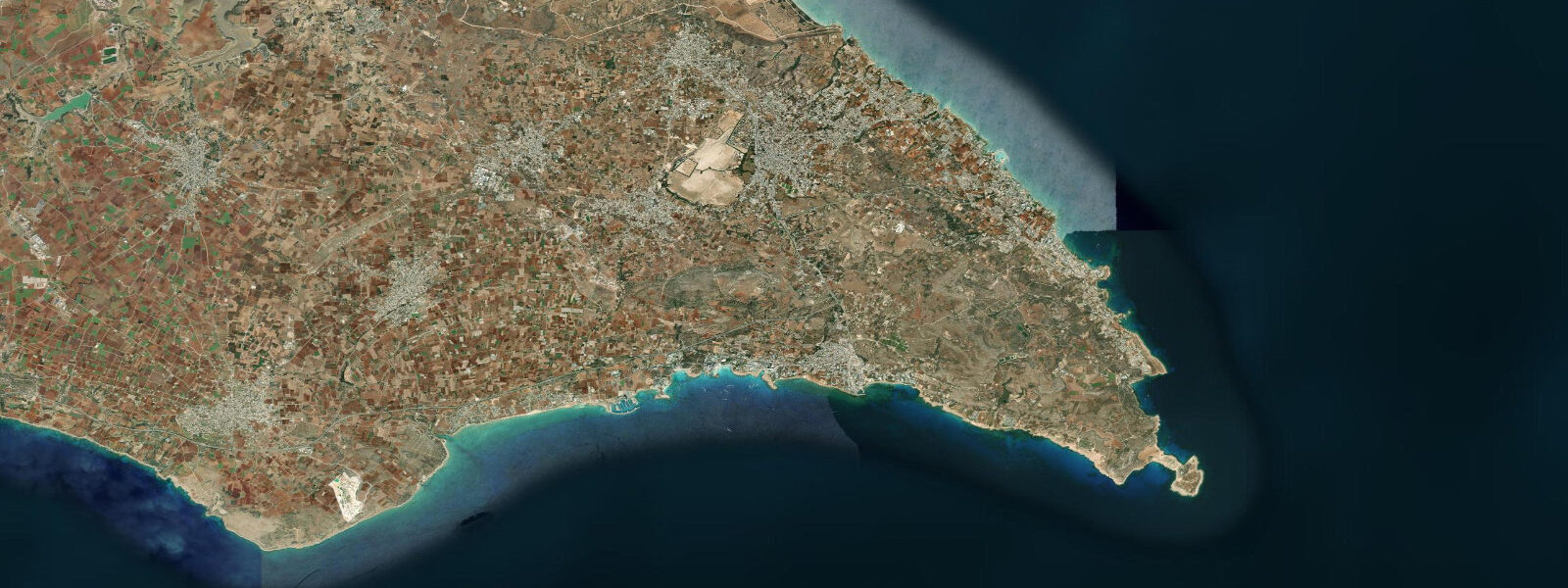
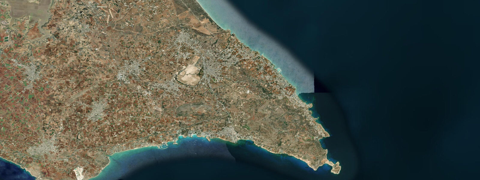
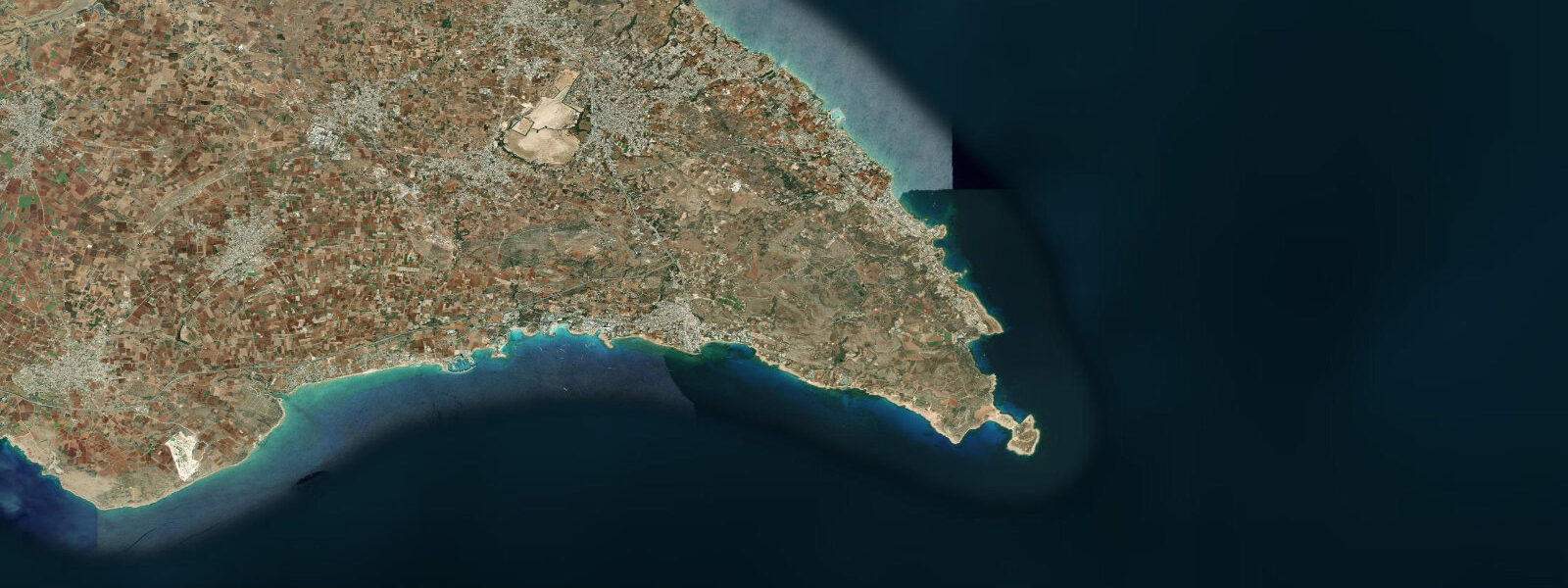
Ayia Napa occupies the southeastern tip of Cyprus, where the Levantine coast turns to face the open sea south of the Karpaz Peninsula. The location gives it the most reliably sunny and warmest-water conditions in Cyprus: summer sea temperatures of 26–28°C are the norm from July through September, and the annual sunshine count exceeds 340 days. The tidal regime is eastern Mediterranean microtidal — spring range 0.2 to 0.3 m, driven by the weak tidal signal of the Levantine basin. Wind setup, atmospheric pressure, and the complex circulation patterns of the eastern Mediterranean produce water-level changes of comparable or greater magnitude than the astronomical tide on most days. The main beaches are concentrated in sheltered embayments of white calcarenite-derived sand cut into the limestone coast. Nissi Beach, 3 km west of the town centre, is the most photographed: a wide sandy bay with a small rocky islet connected to the shore by a sand bar. At spring low water the sand bar is fully exposed and walkable; as the water rises by 0.2 to 0.3 m — the extent of the tidal range here — the bar shallows and eventually covers in a few centimetres of water. The submergence and exposure of the bar is one of the few places on the Cypriot coast where the small tidal signal is visually apparent. Makronissos beach, further west toward the archaeological site, is broader and less crowded outside peak August. East of the town centre, the coast transitions from sandy embayments to the limestone karst system of Cape Greco. The Sea Caves of Ayia Napa — a series of sea-eroded caverns, tunnels, and arches in the base of the limestone cliff — are accessible by kayak in calm conditions and on foot at several cliff-top descent points. The cave entrances at sea level are best navigated at low water when surge is minimal; the 0.2 to 0.3 m tidal range is small but measurable in the difference in surge impact at the cave openings between high and low. Kayak trips from the town-side boat launch to the caves take 45 to 60 minutes one way. The underwater visibility at the cave sites can reach 20 to 25 m on calm days in summer. For snorkellers and freedivers, the rocky reef patches and posidonia sea-grass meadows in 3 to 10 m depth south of Nissi Beach and along the Cape Greco approaches hold the usual eastern Mediterranean suite: sea bream, parrotfish, barracuda, and occasional loggerhead turtles (Caretta caretta), which nest on the less-disturbed beaches in the area. Water temperature in the 5 to 10 m range stays above 25°C from July through October. Ayia Napa's nightlife and club scene (peak July–August) is one of the most concentrated in the eastern Mediterranean; the resort areas and the beach zones overlap but the beach use pattern is more mixed than the party reputation suggests, with families concentrated at Makronissos and the northern coves. The Thalassa Municipal Museum of the Sea, on the main square, contains casts and display material on the Kyrenia Ship (a 4th-century BCE Cypriot merchant vessel, the oldest Greek vessel recovered intact). Tide predictions at Ayia Napa come from Open-Meteo Marine, a gridded global ocean model; accuracy is typically ±45 min on timing and ±0.2–0.3 m on height. The Republic of Cyprus Department of Meteorology (www.dom.moa.gov.cy) publishes the authoritative marine forecasts for Famagusta District.
For beach photographers, the early morning at Nissi Beach — before 08:00 in summer — offers the best light and minimal human presence. The east-facing inner section of the bay catches the morning sun directly; the islet and sand bar are front-lit. By 09:00 the beach is operational and the light is already high-angle. The evening light is rear-lit from the beach's perspective, which makes it less useful for beach photography but better for seascape shots from the headland looking back toward the town. The sea cave sites along the Cape Greco approach are most photogenic in mid-morning when the sun is low enough to illuminate the cave interiors through the water-level openings. The combination of clear water, white sand, and limestone karst gives the photography at this section of the Cyprus coast a palette that the more typical volcanic or alluvial Mediterranean coast does not offer.
Tide questions about Ayia Napa
Quick answers to the most common questions about tide times, range, and water access at Ayia Napa.
What is the tidal range at Ayia Napa?
Ayia Napa has an eastern Mediterranean microtidal regime. Spring tidal range is approximately 0.2 to 0.3 m — two unequal highs and two unequal lows per day. This is one of the smallest tidal ranges at any beach destination in Europe; the water level change between high and low is roughly the height of a hand's breadth. At Nissi Beach, the most visible tidal effect is the sand bar connecting the beach to the offshore islet: fully exposed at low water, briefly submerged at high. For beach planning purposes, wind-driven water-level changes and swell height are more significant than the astronomical tide. Tide predictions on this page come from Open-Meteo Marine, a gridded global ocean model; accuracy is typically ±45 min on timing and ±0.2–0.3 m on height.
Can I kayak to the Sea Caves from Ayia Napa?
Yes. The Sea Caves of Ayia Napa are accessible by kayak from the boat launch areas in the town centre and from Nissi Beach. The paddle to the caves runs 45 to 60 minutes depending on the departure point and conditions. The cave entrances are at sea level, cut into the base of the limestone cliff. At low water, the entrance clearance is higher and surge inside the caves is gentler — the 0.2 to 0.3 m tidal range means the difference is small but perceptible. Conditions must be calm: any swell above 0.4 m makes the cave entrances uncomfortable or unsafe. Check the Cyprus Department of Meteorology forecast before departing. Several operators in Ayia Napa run guided sea-cave kayak tours departing in the morning when sea conditions are typically most settled.
When is the sea warmest at Ayia Napa?
Sea surface temperature at Ayia Napa peaks at 26–28°C in August and September — the warmest sea water consistently available in Cyprus and among the warmest in the eastern Mediterranean. The Levantine basin retains summer heat longer than the western Mediterranean; temperatures above 25°C typically run from late June through early October. By November the water has cooled to 21–23°C, still comfortable for wetsuitless swimming. The coolest months are February and March, when the surface temperature drops to around 17°C. Summer water temperature is consistent across the bay and the cave sections; the slight current around Cape Greco can bring cooler water up occasionally, but persistent thermocline effects are uncommon in the shallow sections accessible from the beach.
Are there loggerhead turtles at Ayia Napa?
Loggerhead turtles (Caretta caretta) are present in the waters around Ayia Napa and the Cape Greco area, and nesting occurs on some of the less-disturbed beaches along the Famagusta District coast. In-water sightings are possible year-round; the probability is higher from May through October when turtles are feeding in the warmer surface waters and when females approach the coast for nesting. The nesting beaches in the Famagusta area are monitored by the Cyprus Marine and Maritime Institute and the Department of Fisheries and Marine Research. Organised turtle-watching tours operate in summer. The main Ayia Napa beach (Nissi Beach, Makronissos) is heavily used in peak season and not primary nesting habitat; the quieter coves east toward Cape Greco are more likely encounter locations from a kayak.
What is the water visibility like for snorkelling at Ayia Napa?
Underwater visibility at Ayia Napa is among the best on the Cypriot coast — 15 to 25 m on calm days in summer is typical at the rocky sections south of Nissi Beach and around the Cape Greco approaches. The Levantine Sea in this area has low suspended sediment load in summer; the main visibility-reducing events are strong winds that stir the shallow sandy bottom. Immediately after a gale, visibility at the beach drop-offs can fall to 3 to 5 m and take 24 to 48 hours to recover. The posidonia sea-grass meadows in 3 to 8 m depth hold wrasse, sea bream, parrotfish, and squid; the rock faces at 8 to 15 m depth around the cape base are the most biodiverse accessible snorkel sites. No tidal current of note — the microtidal range means current at the snorkel sites is negligible compared to any wind or swell-driven circulation.
7-day tide table — Ayia Napa
Heights relative to MSL. Predictions: Open-Meteo Marine (MeteoFrance SMOC, 0.08° grid) — heights relative to MSL (not chart datum / LAT). Model-derived.
| Day | Type | Time | Height |
|---|---|---|---|
| Sun 21 Jun | High | 03:50 | -0.4m |
| Low | 09:10 | -0.6m | |
| High | 16:00 | -0.4m | |
| Low | 22:00 | -0.6m | |
| Mon 22 Jun | High | 17:00 | -0.4m |
| Tue 23 Jun | — | ||
| Wed 24 Jun | Low | 13:00 | -0.6m |
| High | 19:00 | -0.4m | |
| Thu 25 Jun | Low | 14:00 | -0.6m |
| High | 20:10 | -0.4m | |
| Fri 26 Jun | Low | 02:00 | -0.5m |
| High | 08:10 | -0.3m | |
| Low | 15:00 | -0.6m | |
| Sat 27 Jun | High | 08:50 | -0.3m |
| Low | 15:45 | -0.6m | |