Playas del Este, La Habana tide times
Playas del Este, La Habana tide forecast — heights relative to MSL.
Today's tide times for Playas del Este, La Habana
Tide times at Playas del Este, La Habana on Friday, 19 June 2026: first high tide at 01:00am, first low tide at 05:45am. Sunrise 06:42am, sunset 08:16pm.
Tide chart for Playas del Este, La Habana
24-hour cosine-interpolated curve around the present moment. Heights relative to MSL. Predictions: Predictions: Open-Meteo Marine (MeteoFrance SMOC, 0.08° grid).
Sun, moon and conditions on Fri 19 Jun
Snapshot at build time — refreshes daily. Sea state from Open-Meteo Marine.
Highs and lows next 7 days
Every predicted high and low for the next week, with the daily tidal coefficient (0–120; higher = bigger swing, > 95 means stronger currents).
Other spots nearby
The three closest curated TideTurtle locations to Playas del Este, La Habana, measured by great-circle distance.
Today's solunar windows
Solunar tradition: major periods are the ≈3h windows around moon transit and opposition; minor are ≈2h around moonrise and moonset. Pair with the local tide stage and wind for the best read.
About tides at Playas del Este, La Habana
A short guide to the coastline at Playas del Este, La Habana — geography, sea state, and what the tide is actually doing under your feet.
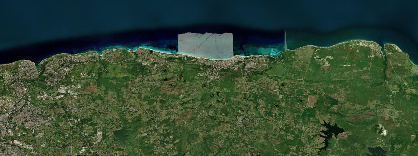
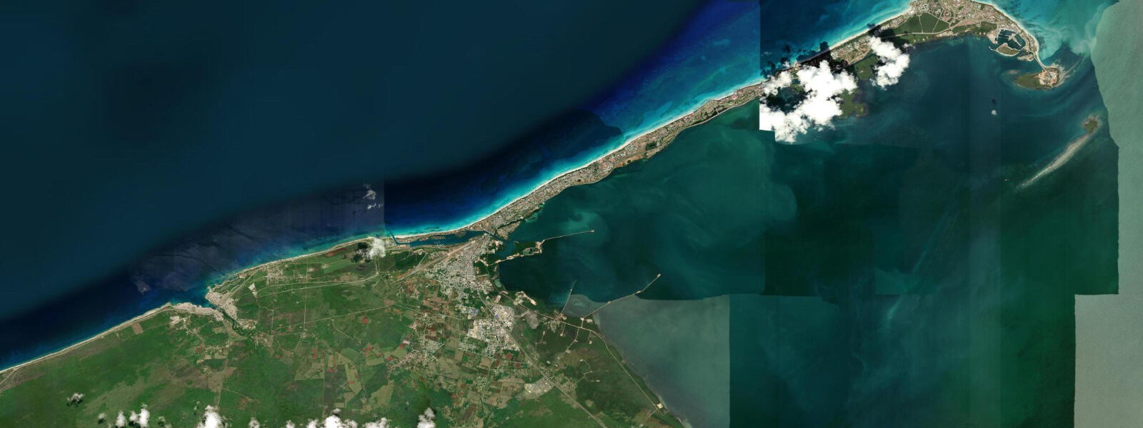
Playas del Este is a 20 km beach strip on Cuba's north coast, beginning 20 km east of Havana at the point where the Via Blanca highway meets the sea. The strip runs east through a sequence of named beaches — Tarará, El Mégano, Santa María del Mar, Boca Ciega, Guanabo — each with its own character but connected by continuous pale fine sand and the same calm, sheltered water behind the offshore reef that runs parallel to the coast.
Cuba's north coast sits in the Caribbean tidal basin. The tidal regime at Playas del Este is microtidal — mean spring range 0.2–0.4 m, diurnally dominated with one high and one low water per day. The waterline moves less than 15 m across the beach face over a full tidal cycle. At the lowest spring low waters the beach extends fractionally further seaward, but with a 0.2–0.4 m range the additional sand exposed is under 15 m in width — a detail for photographers composing a foreground, not a variable that changes beach character. The water is shallow for a long distance from shore regardless of tide stage.
The beaches face north into the Straits of Florida. The northeast trades produce modest wave action in winter (November to March) — 0.3–0.8 m wind swell on exposed days — and leave the water nearly flat in summer. The offshore reef attenuates the swell before it reaches the beach in most conditions. In summer, Playas del Este is as calm as a lagoon and the water temperature reaches 29–30°C.
Santa María del Mar, in the middle of the strip, is the most developed section — the Havanamar hotel cluster, a row of state-run hotels built during the Soviet-aligned period and progressively updated since the 1990s tourism expansion. This is where package tourists from Havana's airport bus routes arrive. The beach here is wide, raked, and serviced. It functions.
Guanabo at the eastern end of the strip is a different register. Guanabo is a residential beach town — Cubans own houses here, paladares (private restaurants operating under self-employment licences) serve the best seafood on the strip, and casas particulares (licensed private accommodation) offer rooms that put you inside a working Cuban neighbourhood rather than a resort compound. The market on Calle 468 runs in the mornings. The bars are informal. The beach at Guanabo is wider than at Santa María and sees fewer resort visitors.
Between Santa María and El Mégano, the Río Itabo empties into a brackish lagoon behind the beach strip — a mangrove and reed system connected to the sea through a narrow channel. The lagoon is not navigable by large craft but supports a small-boat ecosystem. Tidal exchange through the channel maintains the salinity balance: on the flood, sea water pushes in and keeps the lagoon from going fully fresh; on the ebb it retreats, drawing nutrients out. Wading birds use the lagoon margins throughout the day; the channel mouth at tide change concentrates juvenile fish.
The Via Blanca highway connects the beach strip to Havana in 25 minutes by car — one of the few Cuban roads where the speed limit is consistently enforced because of its tourism profile. Havana is visible to the west on clear evenings as an orange glow on the horizon. The Havana skyline itself sits below the curve of the earth from Guanabo but is close enough that phone signals and radio stations from the city reach the beach without interruption.
Anglers cast from the beach at Guanabo at first light when the reef fish are running inshore — small jacks, barracuda in the surf zone, occasional tarpon in the channel mouth of the Río Itabo lagoon. Families with children find the shallow, wave-attenuated water at Santa María del Mar forgiving at any tide stage. Paddlers launching from the beach access the lagoon system behind the strip via the Río Itabo channel mouth, best timed on the flood for depth.
Tide data for Playas del Este comes from the Open-Meteo Marine API, a gridded model product. Timing accuracy is ±45 minutes, height accuracy ±0.3 m — usable for trip planning, not for navigation.
Tide questions about Playas del Este, La Habana
Quick answers to the most common questions about tide times, range, and water access at Playas del Este, La Habana.
What is the tidal range at Playas del Este and does the tide change the beach?
Playas del Este is on Cuba's north coast in the Caribbean tidal basin — microtidal, with a mean spring range of 0.2–0.4 m and a diurnal pattern (one high, one low per day). The waterline shifts less than 15 m across the beach over a full cycle. At the lowest spring low waters a strip of additional sand appears at the waterline, but the difference is minor — the beach is wide at any stage of the tide. The practical effect is on the Río Itabo lagoon channel near Santa María del Mar, where tidal exchange determines water depth for small boats and kayaks entering the lagoon system.
What is the difference between Santa María del Mar and Guanabo?
Santa María del Mar is the resort end of the Playas del Este strip — state-run hotels, raked sand, bus-tour arrivals from Havana. It works well for a standard beach day and the facilities are consistent. Guanabo, 6 km further east, is a residential Cuban beach town: paladares serving grilled fish and rice out of house-front kitchens, casas particulares with rooms inside working neighbourhoods, a morning market on Calle 468. The beach at Guanabo is wider and less managed. If you want to experience the beach strip as Havana residents use it rather than as a tourist facility, Guanabo is the end of the strip to base from.
How do you get from Havana to Playas del Este?
The Via Blanca highway connects central Havana to the beach strip in 25 minutes by car or taxi. The route is one of the better-maintained Cuban roads. State buses (Metrobus route P-14) run from the Havana terminal at Parque de la Fraternidad to Santa María del Mar — journey time around 50 minutes including stops. Taxis (state or private) from the Havana waterfront Malecón cost a fixed fare negotiated upfront; private taxis run considerably cheaper than state cabs for the same route if you arrange them through a casa particular.
What is the Río Itabo lagoon and can you access it?
The Río Itabo is a small river that empties behind the beach strip near Santa María del Mar, forming a brackish lagoon connected to the sea through a narrow channel. Tidal exchange through the channel keeps the lagoon saline and clear — sea water floods in on the high tide and retreats on the ebb, cycling nutrients through the mangrove and reed margins. Wading birds use the lagoon edges throughout the day; the channel mouth concentrates juvenile fish on tide changes. Small boats and kayaks can enter the lagoon on the flood tide when depth is sufficient. The lagoon is not navigated by tourist infrastructure — access is informal, from the beach at the channel mouth.
What beach conditions should anglers and paddlers expect at Playas del Este?
Anglers fishing from the beach at Guanabo find the best action at first light when jacks, barracuda, and occasional tarpon run inshore along the reef edge. The Río Itabo channel mouth near Santa María del Mar holds juvenile and adult fish at tide changes — both the incoming and outgoing tide concentrate fish in the current at the channel. Paddlers launching from the beach access the Río Itabo lagoon system on the flood tide for depth; at low water the channel is too shallow for most kayaks to transit. Summer conditions (June to October) are the calmest for both activities — the northeast trades drop and the water flattens behind the offshore reef.
7-day tide table — Playas del Este, La Habana
Heights relative to MSL. Predictions: Open-Meteo Marine (MeteoFrance SMOC, 0.08° grid) — heights relative to MSL (not chart datum / LAT). Model-derived.
| Day | Type | Time | Height |
|---|---|---|---|
| Fri 19 Jun | High | 01:00 | 0.4m |
| Low | 05:45 | 0.2m | |
| Sat 20 Jun | High | 02:00 | 0.4m |
| Low | 20:15 | 0.2m | |
| Sun 21 Jun | — | ||
| Mon 22 Jun | High | 03:50 | 0.5m |
| Low | 21:15 | 0.2m | |
| Tue 23 Jun | High | 04:00 | 0.5m |
| Low | 21:45 | 0.2m | |
| Wed 24 Jun | — | ||
| Thu 25 Jun | High | 05:50 | 0.6m |