Rovinj tide times
Rovinj tide forecast — heights relative to MSL.
Today's tide times for Rovinj
Tide times at Rovinj on Friday, 31 July 2026: first high tide at 02:00, first low tide at 17:00, second high tide at 22:12. Sunrise 05:48, sunset 20:34.
Tide chart for Rovinj
24-hour cosine-interpolated curve around the present moment. Heights relative to MSL. Predictions: Predictions: Open-Meteo Marine (MeteoFrance SMOC, 0.08° grid).
Sun, moon and conditions on Fri 31 Jul
Snapshot at build time — refreshes daily. Sea state from Open-Meteo Marine.
Highs and lows next 7 days
Every predicted high and low for the next week, with the daily tidal coefficient (0–120; higher = bigger swing, > 95 means stronger currents).
Other spots nearby
The three closest curated TideTurtle locations to Rovinj, measured by great-circle distance.
Today's solunar windows
Solunar tradition: major periods are the ≈3h windows around moon transit and opposition; minor are ≈2h around moonrise and moonset. Pair with the local tide stage and wind for the best read.
About tides at Rovinj
A short guide to the coastline at Rovinj — geography, sea state, and what the tide is actually doing under your feet.
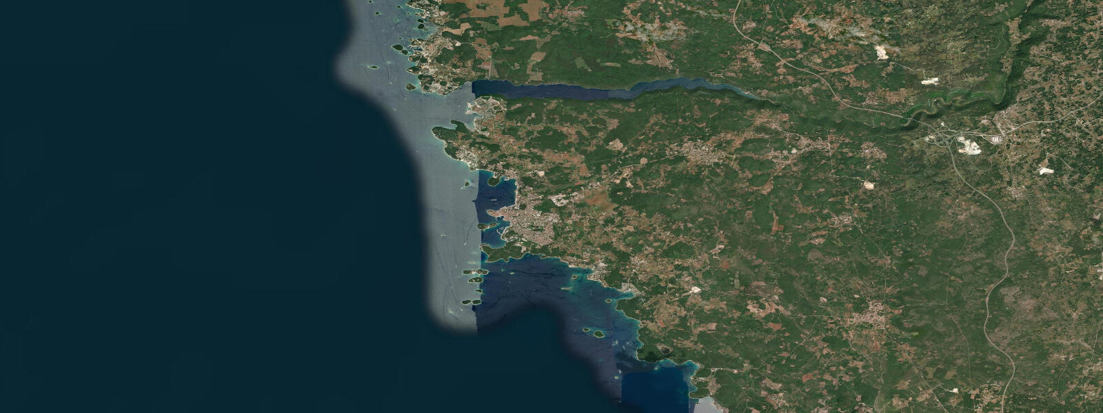
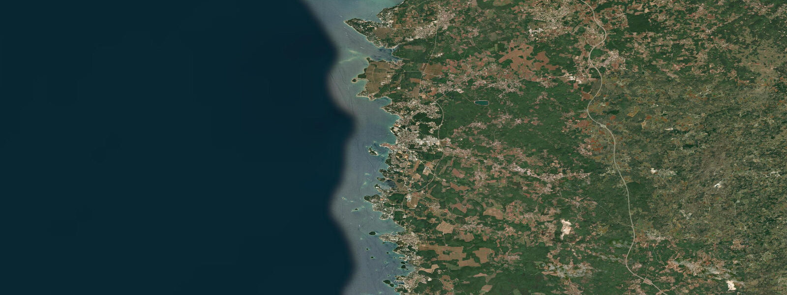
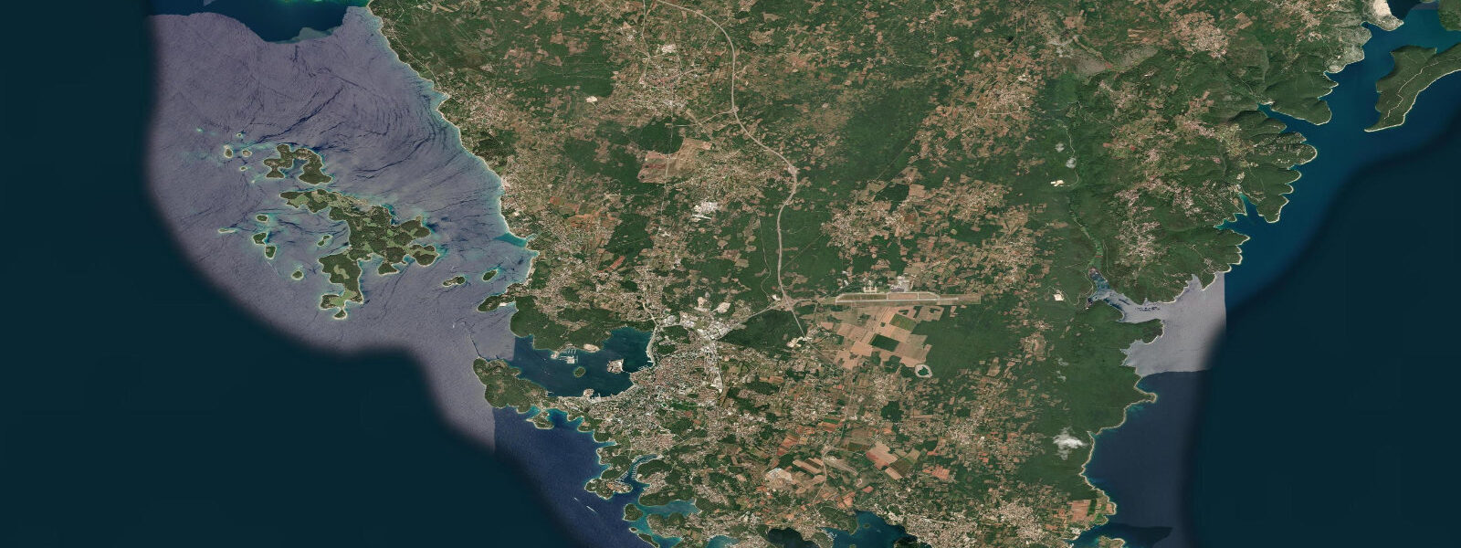
Rovinj sits on a rocky peninsula on the west coast of Istria, the triangular Croatian headland that reaches into the northern Adriatic between the Gulf of Trieste and the Kvarner Gulf. The old town is built on what was originally an island — connected to the mainland in the mid-eighteenth century by filling the narrow channel — and the result is one of the most photographed townscapes on the Adriatic: the church of St. Euphemia at the summit, concentric rings of terracotta-roofed houses descending to the waterline, the fishing boats and tourist launches moored in the harbour below. Offshore to the southwest, the Rovinj archipelago of thirteen islands and several reefs spreads across the water in a scatter that kayakers and divers have been working for decades.
The Adriatic is a microtidal sea. The mean spring range along the Istrian coast at Rovinj is approximately 0.5 to 0.8 m — the tide is real and measurable, but it is not the dominant variable governing coastal access the way a 3 m or 5 m range would be. A visitor arriving from the Bay of Fundy or the Severn Estuary would barely notice it. A visitor from the Mediterranean's eastern basin, where tidal range is 0.1 to 0.3 m, would find Rovinj's tidal swing comparatively noticeable at the rocky foreshore. Context matters.
What matters more than the astronomical tide on this coast is the seiche. The Adriatic is an enclosed basin — 800 km long, 200 km wide, connected to the Mediterranean only through the relatively shallow Strait of Otranto at its southern end. Like any enclosed water body, it has a natural resonant period, and persistent winds — primarily the bora (strong cold northeast wind off the Dinaric Alps) and the sirocco (warm moist southerly from Africa) — can excite standing oscillations that tilt the sea surface. At the northern end of the Adriatic, this manifests as the acqua alta phenomenon familiar from Venice: water-level rise of 0.3 to 0.5 m or more on top of the astronomical tide, driven by meteorological rather than gravitational forcing. Rovinj sits near the northern end of the basin and is exposed to this effect. During a strong sirocco event, the harbour can be significantly higher than the tide table predicts; during a strong bora, drawdown can leave parts of the rocky foreshore more exposed than a low tide alone would produce.
For sea kayakers, this is the most practically interesting stretch of the Istrian coast. The archipelago southwest of Rovinj — the islands of Sv. Ivan na Pučini, Maškin, Banjole, and the smaller reefs around Figarola — creates a network of channels, coves, and sheltered water that rewards systematic exploration. The 0.5 to 0.8 m tidal range, while small, still exposes and covers rocky foreshore that affects landing decisions: a cove that looks like a comfortable beach landing at half-tide may become a rock-ledge scramble at low water. Experienced paddlers plan their approach to unfamiliar landing spots 30 minutes before the predicted low to get a clear read on what the foreshore looks like. The channels between islands accelerate the tidal current slightly — not dramatically, nothing like the Seto Inland Sea or the Corryvreckan, but enough that a paddler fighting the ebb in a narrow passage feels the difference.
The karstic limestone that defines the Istrian peninsula creates a shoreline of remarkable texture: the rock is sculpted by millennia of wave and tidal action into sharp, pocketed, biologically productive surfaces. The rocky intertidal zone around Rovinj's outer headlands and the archipelago is dense with sea urchins, octopus, and the small fish that exploit the ledges and overhangs. Spearfishing from the rocks and freediving around the outer islands is a local tradition; the marine protected area designation around Rovinj's nearshore (the Marine Special Reserve of Palud, a reed lagoon and bird sanctuary north of town) restricts fishing in certain zones.
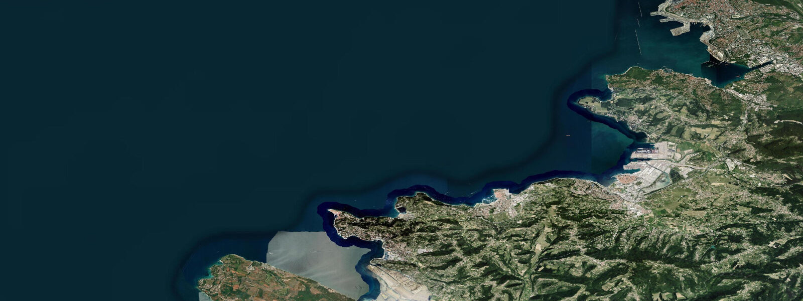
The Lim Fjord — a 10-km drowned karst valley (fjord is the local name, a geographic coincidence with the Nordic term) cutting inland north of Rovinj — is an important tidal inlet. It is narrow enough that its ecology is strongly shaped by the exchange of seawater on each tide, and it has been an oyster and mussel cultivation zone for decades. The Lim oysters have a long reputation on the Croatian coast and in the regional seafood trade. The reed-fringed inlet is also a birding site, particularly for migratory species in spring and autumn.
Rovinj town has a working fishing harbour alongside its tourist marina. The local fleet still lands red mullet, sea bass, dentex, and the small reef fish that the rocky archipelago produces; the fish market in the harbour operates on morning landings that reflect the overnight tidal conditions the fishers navigated. Eating at the harbour-side restaurants, you are eating what the Adriatic produced within the last 12 hours.
Predictions on this page come from Open-Meteo Marine, a gridded global ocean model — model-derived, not a local gauge, accurate typically within plus or minus 45 minutes on timing and 0.2 to 0.3 m on height. On a coast with a 0.5 to 0.8 m spring range, the height uncertainty is a significant fraction of the total signal at neap tides. The Croatian Hydrographic Institute (HHI) in Split maintains the official tide gauge network for Croatian waters, including Rovinj, which holds one of the longer continuous sea-level records in the Adriatic. For any navigation or harbour approach decision in this region, the HHI's official predictions apply.
Tide questions about Rovinj
Quick answers to the most common questions about tide times, range, and water access at Rovinj.
What is the tidal range at Rovinj?
Mean spring range along the Istrian coast at Rovinj is approximately 0.5 to 0.8 m — microtidal by global classification. The tide is semidiurnal: two highs and two lows per day. It is real and measurable at the rocky foreshore and visible in the harbour, but it is not a primary planning variable for most beach or water activities. What can produce larger and sometimes more rapid water-level changes is the seiche — wind-driven oscillations in the Adriatic basin that add 0.3 to 0.5 m on top of the astronomical tide at the northern end of the sea during bora or sirocco wind events. The Croatian Hydrographic Institute (HHI) maintains the official Rovinj tide gauge data.
What is the acqua alta effect, and does it affect Rovinj?
Acqua alta — 'high water' in Italian — refers to the elevated water levels that result from seiches in the Adriatic basin. When a strong sirocco (warm southerly wind) pushes water northward for an extended period, the sea surface tilts and the northern Adriatic ends up significantly higher than predicted by the astronomical tide alone. Venice is the most famous sufferer of this effect, but Rovinj, also at the northern end of the basin, experiences the same phenomenon on a slightly smaller scale. During a sustained sirocco event, water levels at Rovinj can run 0.3 to 0.5 m above the predicted tide level. Conversely, a strong bora (cold northeast wind) can draw water southward and leave the northern harbour lower than predicted. These events are meteorologically driven and do not appear in the tide table.
Is Rovinj good for sea kayaking?
The Rovinj archipelago — thirteen islands and several reefs southwest of town — is one of the better-regarded sea kayak destinations on the northern Adriatic. The combination of sheltered channels between islands, karstic rock landings, sea caves, and the calm summer sea state between June and August makes it accessible for intermediate paddlers. The 0.5 to 0.8 m tidal range requires some landing awareness on unfamiliar rocky foreshore, particularly at low water when ledges that looked gentle at mid-tide become awkward scrambles. The channel passages between the outer islands carry minor tidal current, worth factoring on a long island-hopping route. Several outfitters in Rovinj town offer guided day and multi-day archipelago tours.
Where do these tide predictions come from?
Open-Meteo Marine, a free gridded global ocean model — model-derived, not a local gauge. Accuracy is typically within plus or minus 45 minutes on timing and 0.2 to 0.3 m on height. At Rovinj, where spring range is 0.5 to 0.8 m, the 0.2 to 0.3 m height uncertainty is a meaningful fraction of the total signal, especially near neap tides when the range may be as small as 0.3 m. The astronomical tide prediction also does not capture the seiche-driven water-level changes from bora or sirocco events, which can be as large as or larger than the tidal range itself. The Croatian Hydrographic Institute (HHI) in Split publishes the official tide tables for Croatian waters including Rovinj.
What fish and seafood does the Rovinj coast produce, and when is best for fishing?
The karstic rocky seabed and the sheltered archipelago support red mullet, sea bass (brancin), dentex (zubatac), and various reef bream species. Octopus is abundant in the rocky-bottom zones and is both commercially caught and a staple of local restaurant menus. The Lim Fjord north of town is an established mussel and oyster cultivation area — the Lim oysters are sold locally and regionally. Shore fishing from the rocky headlands and the outer archipelago is permitted in most areas outside the Palud nature reserve. The summer months (June to September) have the most recreational fishing pressure; spring and autumn are quieter, with sea bass and dentex more actively feeding in cooler water. A Croatian fishing licence (sportska dozvola) is required for recreational fishing in Croatian waters.
6-day tide table — Rovinj
Heights relative to MSL. Predictions: Open-Meteo Marine (MeteoFrance SMOC, 0.08° grid) — heights relative to MSL (not chart datum / LAT). Model-derived.
| Day | Type | Time | Height |
|---|---|---|---|
| Fri 31 Jul | High | 02:00 | -0.7m |
| Low | 17:00 | -0.5m | |
| High | 22:12 | -0.2m | |
| Sat 01 Aug | Low | 05:00 | -0.9m |
| Sun 02 Aug | High | 12:21 | -0.1m |
| Mon 03 Aug | Low | 05:50 | -0.8m |
| High | 12:50 | -0.1m | |
| Low | 19:10 | -0.6m | |
| Tue 04 Aug | High | 00:00 | -0.4m |
| Low | 06:06 | -0.7m | |
| High | 13:18 | -0.1m | |
| Low | 20:15 | -0.6m | |
| Wed 05 Aug | High | 00:50 | -0.5m |
| Low | 06:10 | -0.6m | |
| High | 13:45 | -0.1m | |
| Low | 21:50 | -0.6m |