Pula, Istria tide times
Pula, Istria tide forecast — heights relative to MSL.
Today's tide times for Pula, Istria
Tide times at Pula, Istria on Friday, 19 June 2026: first high tide at 14:15. Sunrise 05:17, sunset 20:53.
Tide chart for Pula, Istria
24-hour cosine-interpolated curve around the present moment. Heights relative to MSL. Predictions: Predictions: Open-Meteo Marine (MeteoFrance SMOC, 0.08° grid).
Sun, moon and conditions on Fri 19 Jun
Snapshot at build time — refreshes daily. Sea state from Open-Meteo Marine.
Highs and lows next 7 days
Every predicted high and low for the next week, with the daily tidal coefficient (0–120; higher = bigger swing, > 95 means stronger currents).
Other spots nearby
The three closest curated TideTurtle locations to Pula, Istria, measured by great-circle distance.
Today's solunar windows
Solunar tradition: major periods are the ≈3h windows around moon transit and opposition; minor are ≈2h around moonrise and moonset. Pair with the local tide stage and wind for the best read.
About tides at Pula, Istria
A short guide to the coastline at Pula, Istria — geography, sea state, and what the tide is actually doing under your feet.
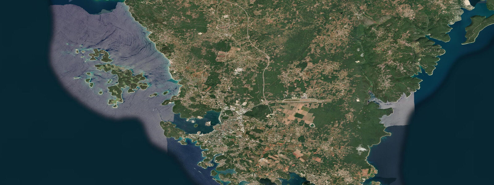
Pula occupies the southern tip of the Istrian peninsula, where the Adriatic narrows into its shallowest and most enclosed reach. The Roman amphitheatre — one of the six largest surviving in the world — sits 100 metres from the harbour's edge, its seaward arches resting almost exactly at mean high water. Stand at the waterfront on a calm morning and the relationship between the ancient city and the sea is immediately legible: the Romans built to the tide's edge, not above it.
The tidal story at Pula is worth understanding, because the Adriatic behaves differently from most semi-enclosed seas. The central and southern Adriatic has an amphidromic point — a node around which the tidal wave rotates — that suppresses range to 0.3 to 0.5 metres in places like Split and Dubrovnik. The northern Adriatic has no such node. Instead, it acts as a closed basin: the tidal wave entering from the south is reflected back, and the two waves reinforce each other at the northern end. At Pula, the mean tidal range is 0.6 to 0.8 metres. Spring tides push 0.9 to 1.2 metres above chart datum. By Mediterranean standards this is significant; by Atlantic standards it is modest. But that 0.8-metre spring range changes what is accessible in the harbour, on the rocky foreshore, and on the shallow approaches to the Brijuni Islands visible offshore.
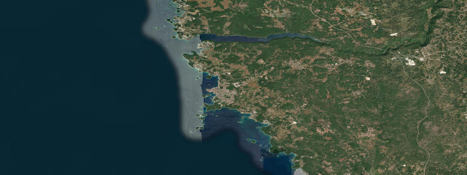
The Brijuni archipelago, 6 kilometres to the north-west across the Fažana Channel, is a national park. Day trips by boat run from Pula harbour and Fažana; the channel crossing is straightforward but the shallow inshore areas around the smaller Brijuni islands become significantly narrower at low water. The tidally exposed rock platforms along the inner channel edges are covered in marine life — sea urchins, small octopus, starfish — visible to snorkellers at mid-tide when water clarity is highest and wave disturbance lowest.
Pula harbour itself is a working port with a long history. The inner harbour handles ferries and smaller vessels; the outer anchorage is used by larger traffic. The tidal current in the main harbour entrance runs at 0.1 to 0.3 knots — barely perceptible for recreational boaters, but the direction matters for vessels manoeuvring under sail or without bow thrusters. The flood tide runs north-east into the harbour; the ebb runs south-west out toward the open channel.
Diving is the activity most directly shaped by tidal conditions at Pula. The Baron Gautsch, a passenger ferry sunk by a naval mine in August 1914, lies in 28 to 42 metres in the channel approaches south-west of the peninsula. It is one of the most-visited wrecks in the Adriatic and is diveable year-round. The wreck sits in a channel where the tidal stream — though modest, 0.2 to 0.4 knots at spring ebb — combined with wind-driven current can create noticeably variable conditions. Dive operators time entries to the slack around high water, when the stream drops to near-zero and visibility in the water column improves. The Baron Gautsch is well-preserved, with intact superstructure from 28 metres depth; the deepest sections at 40-42 metres require advanced open-water certification.
Other dive sites include the B-17 bomber wreck in 70 metres (technical diving), various WWI and WWII vessels, and the reef systems along the outer peninsula coast. The rocky reefs at 5 to 15 metres depth are covered in gorgonian sea fans; best visited at slack water when sediment is not being stirred by current.
Anglers work the rocky points south of the amphitheatre and the outer harbour wall for sea bass (luc in Croatian), dentex, and bream. The most productive window is the two hours before high water and one hour after: baitfish concentrate over the submerged rocks as the tide pushes in, and larger predators follow. The Pula fish market behind the Forum — open from 07:00 — gives a direct read on what the inshore fishery is producing day to day.
The Temple of Augustus in the Forum, 300 metres from the waterfront, is the best-preserved Roman temple on the eastern Adriatic coast. The Forum square is flat and level with the harbour; at highest spring tide levels, the waterfront street between the Forum and the harbour sees minor spray from southerly swell. For photographers, the combination of Roman stonework and harbour light is most effective in the two hours after sunrise at low water — the exposed rock platform below the harbour wall catches the low light while the amphitheatre's arches frame the sky behind.
Beach families head to the coves on the peninsula's outer coast — Valkane and Verudela — where the rock-and-sand beaches widen measurably at low water, exposing an additional 3 to 8 metres of flat limestone shelf. The shelf is slip-hazard rough for bare feet but excellent for children rock-pooling. Water temperature reaches 25-26°C in July and August; the clearest water is at high tide when tidal exchange has flushed the coves.
Tide data for Pula, Istria comes from the Open-Meteo Marine API, a gridded model product. Timing accuracy is ±45 minutes, height accuracy ±0.3 m — usable for trip planning, not for navigation.
Tide questions about Pula, Istria
Quick answers to the most common questions about tide times, range, and water access at Pula, Istria.
Why does Pula have a larger tidal range than Split or Dubrovnik?
The Adriatic has an amphidromic point — a tidal node — in its central section where the tidal wave effectively cancels itself, suppressing the range to 0.3 to 0.5 metres in the central and southern Adriatic. The northern Adriatic, where Pula sits, acts as a closed basin: the incoming tidal wave reflects off the shallow northern end and the reflected wave reinforces the incoming wave, amplifying the range. At Pula the mean range is 0.6 to 0.8 metres; spring tides reach 0.9 to 1.2 metres above chart datum. This pattern repeats across the northern Adriatic from Trieste to Zadar.
What is the best time to dive the Baron Gautsch wreck at Pula?
Dive operators target the slack water around high tide, typically within 45 minutes of high water. The tidal stream in the channel approaches where the wreck lies runs at 0.2 to 0.4 knots at spring ebb — modest by ocean standards but enough to affect buoyancy control and visibility at the 28 to 42-metre depth range. Slack water reduces current drag and allows sediment in the water column to settle, improving horizontal visibility from around 10 metres to 15 to 20 metres on a good day. Book a morning dive timed to the day's high water for the best conditions.
Do the tides affect the Brijuni Islands boat trip from Pula?
The ferry crossing from Fažana (15 km north of Pula) to Veliki Brijun runs regardless of tidal state, but at low water the shallow inshore areas around the smaller Brijuni islands expose rock shelves and narrow the navigable channels. Day-trip itineraries to the national park are not materially affected — the main landing jetty at Veliki Brijun stays accessible across the full tidal range. Snorkellers and kayakers visiting the outer islands on private boats should note that rock platforms in the Fažana Channel are exposed by up to 0.8 metres on spring lows.
Where do anglers fish in Pula and when?
The rocky points south of the amphitheatre, the outer harbour wall, and the peninsula coast heading toward Cape Kamenjak are the main shore-fishing locations. Target sea bass, dentex, and gilt-head bream on the incoming tide — the two hours before high water and one hour after are consistently the most productive window. The shallower inshore reefs at 3 to 6 metres depth hold the greatest concentration of baitfish as the tide covers them. Early morning incoming tides in May, June, and September produce the largest bass. The Pula fish market by the Forum is open from 07:00 and reflects the current inshore catch.
When is the best time to photograph the Roman Amphitheatre and harbour together?
The strongest composition is achieved at low water, two hours after high tide, during the first two hours after sunrise. At low water the rock platform below the harbour wall is exposed, giving foreground texture and reflecting pools. The amphitheatre's seaward arches — which sit at approximately mean high water level — are seen from the water side at their full height without the water obscuring the base. Golden-hour light from the east hits the honey-coloured stone from the right angle in this window. Spring low tides expose the most foreground material; neap lows produce subtler foreground but softer overall contrast.
8-day tide table — Pula, Istria
Heights relative to MSL. Predictions: Open-Meteo Marine (MeteoFrance SMOC, 0.08° grid) — heights relative to MSL (not chart datum / LAT). Model-derived.
| Day | Type | Time | Height |
|---|---|---|---|
| Fri 19 Jun | High | 14:15 | -0.3m |
| Sat 20 Jun | Low | 06:50 | -0.9m |
| High | 14:54 | -0.3m | |
| Sun 21 Jun | — | ||
| Mon 22 Jun | Low | 07:45 | -0.8m |
| High | 16:15 | -0.3m | |
| Tue 23 Jun | Low | 08:00 | -0.6m |
| High | 16:45 | -0.2m | |
| Wed 24 Jun | Low | 01:10 | -0.7m |
| Thu 25 Jun | High | 18:10 | -0.2m |
| Fri 26 Jun | Low | 01:00 | -0.8m |