Dubrovnik, Dalmatia tide times
Dubrovnik, Dalmatia tide forecast — heights relative to MSL.
Today's tide times for Dubrovnik, Dalmatia
Tide times at Dubrovnik, Dalmatia on Friday, 19 June 2026: first low tide at 02:00, first high tide at 19:10. Sunrise 05:09, sunset 20:28.
Tide chart for Dubrovnik, Dalmatia
24-hour cosine-interpolated curve around the present moment. Heights relative to MSL. Predictions: Predictions: Open-Meteo Marine (MeteoFrance SMOC, 0.08° grid).
Sun, moon and conditions on Fri 19 Jun
Snapshot at build time — refreshes daily. Sea state from Open-Meteo Marine.
Highs and lows next 7 days
Every predicted high and low for the next week, with the daily tidal coefficient (0–120; higher = bigger swing, > 95 means stronger currents).
Other spots nearby
The three closest curated TideTurtle locations to Dubrovnik, Dalmatia, measured by great-circle distance.
Today's solunar windows
Solunar tradition: major periods are the ≈3h windows around moon transit and opposition; minor are ≈2h around moonrise and moonset. Pair with the local tide stage and wind for the best read.
Cycle dates near Dubrovnik, Dalmatia
Last spring tide on Fri 19 Jun (range 0.3m). Next spring tide on Thu 25 Jun (range 0.2m). Next neap on Tue 23 Jun.
Spring tides cluster around new and full moons (biggest swings). Neap tides land on quarter moons (smallest swings). See the spring tide and neap tide glossary entries for the why.
About tides at Dubrovnik, Dalmatia
A short guide to the coastline at Dubrovnik, Dalmatia — geography, sea state, and what the tide is actually doing under your feet.
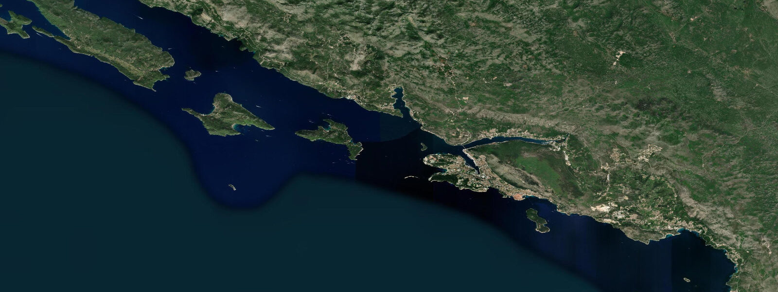
Dubrovnik's old city sits on a rocky peninsula that juts south into the Adriatic, surrounded on three sides by sea. The city walls — 2 km of continuous limestone, 4–6 m thick — meet the water on the south and east faces; the west side opens onto the sheltered Pile bay. The Stara Luka, the Old Town harbour, is a small basin tucked into the east side of the peninsula, protected by a short mole. It's the original medieval harbour, and it still functions as a working small-boat port alongside its role as a tourist embarkation point for the Elafiti Islands and Lokrum.
The Adriatic tidal system is shaped by the basin's amphidromic geometry. A near-zero amphidromic point — a node where tidal range collapses to almost nothing — sits in the central Adriatic, roughly between the Italian and Croatian coasts. At the northern end of the Adriatic, Venice experiences tidal ranges of 0.8–1.0 m. At Dubrovnik, near the southern end of the basin and in the amphidromic shadow, the mean range drops to just 0.25–0.45 m, with spring tides reaching approximately 0.5 m. Tides here are semidiurnal, with two complete cycles per day.
For the Stara Luka harbour, that 0.3 m tidal window matters. The harbour bottom is irregular limestone with patches that effectively dry at lower tides — a fall of 0.25–0.30 m from mean high water can reduce the usable depth along the inner quay to 0.5 m or less. Water taxis and inter-island ferries that use the Old Town harbour work around this; the operators know the local datum and plan departures to avoid the lowest hour of the ebb. If you're chartering a small boat from the Old Town harbour, ask the operator about the tidal state for your departure — it's not navigational-grade critical, but it's part of the local knowledge that keeps keels clear of limestone.
The seaward face of the city walls is best seen from water level, and the tidal window determines what's visible. At low water, the wave-cut notch at the base of the walls is exposed — typically 0.2–0.3 m of bare rock between the waterline and the start of the worked stone courses. Kayaking along the south wall at low tide, within 5 m of the base, reveals arched drainage outlets, the original Renaissancе-era stonework at the waterline, and the relationship between the wall's foundations and the reef below. The same section viewed from the city wall walk above gives none of this. Morning light from the east illuminates the south wall directly from 07:30 to approximately 10:00 in summer — the combination of low tide and morning light in June or September is the most revealing condition for photography.
Lokrum Island, 500 m from the Old Town harbour, is a forested nature reserve accessible by a small ferry that runs every 30–45 minutes in summer. The island's main curiosity is the Mrtvo More — Dead Sea — a saltwater lake connected to the open Adriatic by a narrow submarine tunnel through the limestone. The tunnel is roughly 40 m long and wide enough for a body of water to pass through; it sits at or just below chart datum. On the flood tide, seawater pushes through the tunnel and raises the lake level by a perceptible margin — typically 0.15–0.25 m over several hours, slightly lagged from the open-sea tide by the restriction of the tunnel. On the ebb, the lake drains back through the same passage. The lake temperature is noticeably higher than the open sea in summer (28–30°C versus 25–27°C on the Adriatic), because the shallow enclosed basin heats faster and exchanges less water.
The Lapad Peninsula, 4 km west of the old city, forms the landward boundary of Lapad bay, where the main resort beaches are concentrated. Banje Beach, immediately east of the Pile Gate, is the closest beach to the old city; it faces east and is in shadow by mid-afternoon. All Dubrovnik beaches are pebble or bedrock with the pebble berms characteristic of the Dalmatian coast. The tidal range is small enough that the visible beach width changes only marginally through the cycle — a 0.4 m tide shift on a steeply sloping pebble beach moves the waterline perhaps 2–3 m horizontally.
Kayaking around the full circuit of the old city walls — south face, east face with the Old Town harbour, then across to Lokrum and back — is a 5–6 km route that most paddlers complete in two to three hours. The section closest to the walls should be done at low water for maximum clearance and visual interest. The crossing to Lokrum is exposed to south and southeast swells that wrap around the eastern cape; the sheltered Pile bay side is calm in almost all conditions.
Tide data for Dubrovnik, Dalmatia comes from the Open-Meteo Marine API, a gridded model product. Timing accuracy is ±45 minutes, height accuracy ±0.3 m — usable for trip planning, not for navigation.
Tide questions about Dubrovnik, Dalmatia
Quick answers to the most common questions about tide times, range, and water access at Dubrovnik, Dalmatia.
Why are tides so small in Dubrovnik compared to other parts of Europe?
Dubrovnik's small tidal range is a consequence of the Adriatic Sea's amphidromic system. The Adriatic basin has a near-zero amphidromic point — a node where the tidal wave effectively cancels itself — in the central part of the sea. Tidal range increases with distance from this node: at Venice, in the northern Adriatic far from the amphidromic point, the mean range reaches 0.8–1.0 m. At Dubrovnik, near the southern end and close to the amphidromic shadow, the mean range collapses to 0.25–0.45 m, with spring tides around 0.5 m. Tides here are semidiurnal — two highs and two lows per day — but the absolute height changes are small compared to Atlantic coasts.
Does the Mrtvo More (Dead Sea) on Lokrum actually fill and empty with the tide?
Yes. Lokrum's saltwater lake (Mrtvo More) is connected to the open Adriatic by a submarine tunnel through the limestone, roughly 40 m long. On the flood tide, seawater pushes through the tunnel and raises the lake level; on the ebb, the lake drains back through the same passage. The lake level change is slightly smaller than the open-sea tide — approximately 0.15–0.25 m per cycle — and lags by one to two hours because of the hydraulic restriction of the tunnel. The lake sits consistently warmer than the open Adriatic in summer (28–30°C versus 25–27°C on the sea), as the enclosed shallow basin heats faster and exchanges water more slowly. Lokrum is a 10-minute ferry crossing from the Old Town harbour.
What is the best time to kayak along the base of the Dubrovnik city walls?
Low water, combined with morning light, gives the best conditions. At low tide the wave-cut notch at the base of the walls is exposed — 0.2–0.3 m of bare rock between the waterline and the worked stone courses — revealing the original Renaissance-era foundation stonework and drainage outlets that are submerged at high water. Morning light from the east illuminates the south wall directly from approximately 07:30 to 10:00 in summer, which is the optimal window for photography. The tidal cycle at Dubrovnik is semidiurnal, so there are two low-water windows per day; check the prediction for the day and target the morning low. The route along the south and east walls is 1–2 km by paddle from the Pile bay launch point.
Does the tidal range affect small boat departures from the Old Town harbour?
It can, on the inner quay. The Stara Luka has irregular limestone bottom, and a 0.25–0.30 m drop from mean high water can reduce depth along the inner quay section to 0.5 m or less. Water taxis and small charter boats based there know the local conditions and plan around the ebb. If you're joining a charter or water taxi from the Old Town harbour, the operator will account for this — but it's worth confirming departure timing, particularly for boats with a draught over 0.4 m. The ferry to Lokrum Island departs from the Old Town harbour and is generally unaffected, as the ferry dock is on the deeper outer section.
Which beaches near Dubrovnik are least affected by the small tidal range?
All beaches near Dubrovnik are pebble or bedrock, and the steep foreshore gradient means a 0.4 m tidal shift moves the waterline only 2–4 m horizontally — barely noticeable in practice. The tidal range is not a meaningful factor in beach planning here; sea state and wind direction matter far more. Banje Beach, just east of the Pile Gate, faces east and catches morning sun but is in shadow by mid-afternoon. Lapad bay beaches face northwest and get afternoon light. Sveti Jakov, 1 km east of the old city, is a small pebble cove below cliff steps — more sheltered from the northwest wind than the Lapad beaches, and useful when the bura (northeast wind) is running.
8-day tide table — Dubrovnik, Dalmatia
Heights relative to MSL. Predictions: Open-Meteo Marine (MeteoFrance SMOC, 0.08° grid) — heights relative to MSL (not chart datum / LAT). Model-derived.
| Day | Type | Time | Height |
|---|---|---|---|
| Fri 19 Jun | Low | 02:00 | -0.7m |
| High | 19:10 | -0.4m | |
| Sat 20 Jun | — | ||
| Sun 21 Jun | Low | 03:00 | -0.7m |
| High | 10:00 | -0.6m | |
| Mon 22 Jun | Low | 03:50 | -0.7m |
| Tue 23 Jun | High | 12:50 | -0.4m |
| Low | 19:00 | -0.5m | |
| Wed 24 Jun | High | 13:10 | -0.4m |
| Low | 20:10 | -0.6m | |
| Thu 25 Jun | High | 14:00 | -0.4m |
| Low | 21:00 | -0.6m | |
| Fri 26 Jun | High | 01:00 | -0.5m |