Manuel Antonio tide times
Manuel Antonio tide forecast — heights relative to MSL.
Today's tide times for Manuel Antonio
Tide times at Manuel Antonio on Tuesday, 28 July 2026: first high tide at 06:00pm, first low tide at 08:01pm. Sunrise 05:26am, sunset 05:59pm.
Tide chart for Manuel Antonio
24-hour cosine-interpolated curve around the present moment. Heights relative to MSL. Predictions: Predictions: Open-Meteo Marine (MeteoFrance SMOC, 0.08° grid).
Sun, moon and conditions on Tue 28 Jul
Snapshot at build time — refreshes daily. Sea state from Open-Meteo Marine.
Highs and lows next 7 days
Every predicted high and low for the next week, with the daily tidal coefficient (0–120; higher = bigger swing, > 95 means stronger currents).
Other spots nearby
The three closest curated TideTurtle locations to Manuel Antonio, measured by great-circle distance.
Today's solunar windows
Solunar tradition: major periods are the ≈3h windows around moon transit and opposition; minor are ≈2h around moonrise and moonset. Pair with the local tide stage and wind for the best read.
Cycle dates near Manuel Antonio
Next spring tide on Sun 02 Aug (range 2.3m). Last neap on Tue 28 Jul. Next neap on Mon 03 Aug.
Spring tides cluster around new and full moons (biggest swings). Neap tides land on quarter moons (smallest swings). See the spring tide and neap tide glossary entries for the why.
About tides at Manuel Antonio
A short guide to the coastline at Manuel Antonio — geography, sea state, and what the tide is actually doing under your feet.
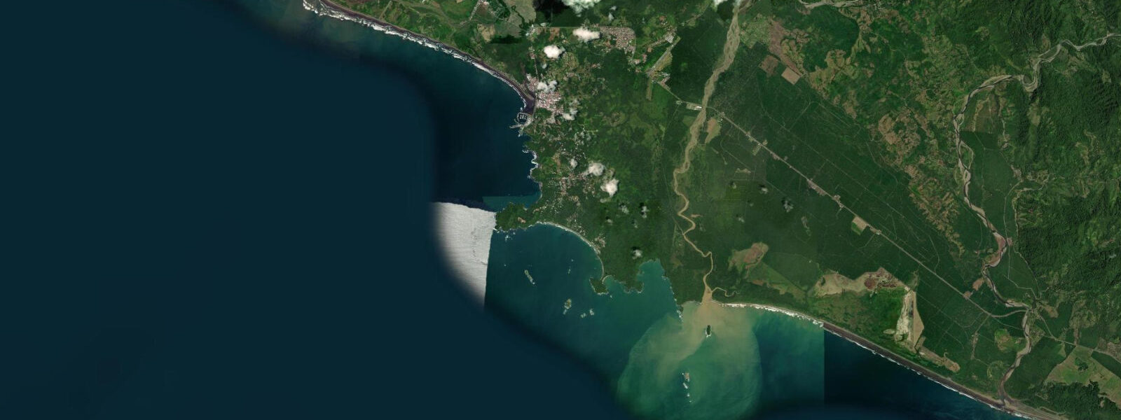
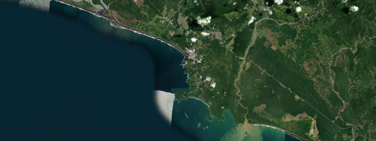
Manuel Antonio sits on the central Pacific coast of Costa Rica in Puntarenas province, a few kilometres south of the working sport-fishing harbour at Quepos. The coast here is the south-facing shore of a forested headland that drops in steep ridges to a series of sheltered crescent beaches inside Manuel Antonio National Park — one of the smallest but most-visited national parks in Costa Rica, where the rainforest reaches the high-tide line and white-faced capuchins, three-toed sloths, and squirrel monkeys move through the canopy directly above the sand. The tide here is mixed semidiurnal with a large range typical of the eastern tropical Pacific.
0. Two highs and two lows of unequal size each day, about twelve and a half hours apart, with the bigger swing typically falling on the lower-low water. Punta Catedral is the rocky headland at the centre of the park — a tombolo-like feature that connects to the mainland by a sand bridge between Playa Espadilla Sur on the north side and Playa Manuel Antonio on the south side.
At high water the sand bridge narrows to a strip; at the lowest spring lows it widens dramatically and the rocky tide-pool zone around the base of the headland reveals an exposed shelf with sea urchins, hermit crabs, and the small reef fish that local snorkellers target. The forested top of Punta Catedral carries a network of park trails and viewpoints over both flanking beaches, and the headland is the visual centrepiece of the park from any of the boat approaches running south from Quepos. Playa Espadilla Sur and Playa Manuel Antonio inside the park are the most photographed beaches on the central Pacific coast and run a meaningful tide swing — the wet-sand zone shifts roughly 30 to 50 metres between high and low water on a typical spring tide, and the morning shadow line off the headland walks across that wet sand as the sun climbs.
Playa Espadilla outside the park boundary to the north is the working surf beach for the town, and the river-mouth peak at the southern end works the changing tide; the rip current that builds on the dropping tide here is one of the standard caution signals along the central Pacific coast and the local lifeguards monitor it on a daily cycle. Playa Biesanz, the small protected cove tucked into the headland west of the main park entrance, runs a calmer signal and is one of the few beaches in the area where snorkelling is reliable on the slack between flood and ebb. Sport-fishing pangas running out of Quepos harbour just north of Manuel Antonio target sailfish and marlin offshore on the El Niño and La Niña current cycles; estuary anglers in the Río Naranjo and Río Savegre mouths read the incoming tide for snook and corvina, and the river-mouth zones reveal extensive sand-bar exposure on the lowest spring lows.
The Marina Pez Vela at Quepos is the operational reference for the local sport-fishing fleet and reads the tide for harbour ingress and egress, particularly for the larger boats that need the higher water in the channel approach. Beach-walking families and wildlife watchers timing the park's main trail circuits read the same predictions to align their loops with low-water beach access. The predictions on this page come from Open-Meteo Marine, a free gridded global ocean model that estimates tidal height across a geographic grid rather than from a measured harmonic record.
3 metres on height — small relative to Manuel Antonio's two-metre-plus mean swing, but worth knowing when planning the lowest-low photography window at Punta Catedral or the snorkelling slack between flood and ebb at Playa Manuel Antonio. The Costa Rican Instituto Geográfico Nacional and Universidad de Costa Rica's CIMAR (Centro de Investigación en Ciencias del Mar y Limnología) are the regional authoritative references; Puerto Caldera at the entrance to the Gulf of Nicoya is the closest reference port for the central Pacific gauge.
Tide questions about Manuel Antonio
Quick answers to the most common questions about tide times, range, and water access at Manuel Antonio.
When is the next high tide at Manuel Antonio?
The hero block at the top of this page shows the next predicted high at Manuel Antonio in local Costa Rica Time (CST, UTC-6, no daylight-saving). For the full week, scroll to the 7-day table. Predictions come from Open-Meteo Marine, a gridded global ocean model. For authoritative regional tide data, the Costa Rican Instituto Geográfico Nacional and CIMAR at Universidad de Costa Rica operate gauges along the Pacific coast; Puerto Caldera at the entrance to the Gulf of Nicoya is the closest authoritative reference port.
What's the typical tide range at Manuel Antonio?
Mean astronomical range at Manuel Antonio is roughly 1.8 to 2.5 metres above chart datum — a large mixed-semidiurnal eastern tropical Pacific signal. Spring tides around new and full moons push past 2.7 to 3.0 metres; neap tides during the quarter moons compress toward 1.0 metre. Two highs and two lows of unequal size each day, about twelve and a half hours apart, with the bigger swing typically on the lower-low water. The wide range exposes the rocky tide-pool zone around Punta Catedral and shifts the wet-sand line by roughly 30 to 50 metres on a typical spring tide.
Where do these tide predictions come from?
Open-Meteo Marine, a free gridded global ocean model. The model estimates tidal height from oceanographic equations applied across a geographic grid rather than from harmonic analysis of a measured gauge record. Accuracy is typically within plus or minus 45 minutes on timing and within roughly 0.3 metres on height. For Manuel Antonio's two-metre-plus mean range the gridded uncertainty is small relative to the signal, but for navigation, sport-fishing harbour scheduling at Marina Pez Vela in Quepos, and any activity where precise water level matters, the Costa Rican Instituto Geográfico Nacional and CIMAR at Universidad de Costa Rica are the regional authorities.
When are the tide pools at Punta Catedral exposed?
The rocky tide-pool zone around the base of Punta Catedral — the headland that connects to the mainland by the tombolo sand bridge between Playa Espadilla Sur and Playa Manuel Antonio — reveals an exposed shelf at the lowest spring-tide lows. The target window is one to two hours either side of the predicted low on days when the tidal range exceeds 2.7 metres, which happens around new and full moons. Check the 7-day table on this page for the predicted lows; arrive 60 to 90 minutes before the listed time to walk the shelf as it drains. The park entrance gates open at 7am and close at 4pm, so the morning low-water window during a spring cycle is the most reliable access. Be off the rocky shelf well before the flood returns.
Is this safe to use for navigation?
No. For piloting in or out of Quepos harbour, the Marina Pez Vela operations, or any commercial transit along the central Pacific coast, use the authoritative Costa Rican tide tables published via the Instituto Geográfico Nacional and Puerto Caldera port operations. CIMAR at Universidad de Costa Rica operates the regional gauges. The Open-Meteo Marine gridded predictions on this page are useful for daily activity planning, beach-walking, and tide-pool scheduling but do not replace gauge-calibrated harmonic data for navigation.
8-day tide table — Manuel Antonio
Heights relative to MSL. Predictions: Open-Meteo Marine (MeteoFrance SMOC, 0.08° grid) — heights relative to MSL (not chart datum / LAT). Model-derived.
| Day | Type | Time | Height |
|---|---|---|---|
| Tue 28 Jul | High | 18:00 | -0.0m |
| Low | 20:01 | -0.5m | |
| Wed 29 Jul | High | 02:10 | 1.3m |
| Low | 08:08 | -0.3m | |
| High | 14:16 | 1.5m | |
| Low | 20:37 | -0.6m | |
| Thu 30 Jul | High | 02:47 | 1.4m |
| Low | 08:47 | -0.4m | |
| High | 14:51 | 1.5m | |
| Low | 21:08 | -0.6m | |
| Fri 31 Jul | High | 03:21 | 1.5m |
| Low | 09:25 | -0.5m | |
| High | 15:27 | 1.5m | |
| Low | 21:41 | -0.7m | |
| Sat 01 Aug | High | 03:54 | 1.5m |
| Low | 10:01 | -0.5m | |
| High | 16:04 | 1.5m | |
| Low | 22:16 | -0.7m | |
| Sun 02 Aug | High | 04:32 | 1.6m |
| Low | 10:43 | -0.5m | |
| High | 16:41 | 1.5m | |
| Low | 22:52 | -0.7m | |
| Mon 03 Aug | High | 05:07 | 1.6m |
| Low | 11:21 | -0.6m | |
| Tue 04 Aug | High | 05:46 | 1.6m |
| Low | 12:02 | -0.5m | |
| High | 17:00 | 1.2m |