Manzanillo tide times
Manzanillo tide forecast — heights relative to MSL.
Today's tide times for Manzanillo
Tide times at Manzanillo on Friday, 3 July 2026: first high tide at 06:00pm. Sunrise 05:14am, sunset 05:55pm.
Tide chart for Manzanillo
24-hour cosine-interpolated curve around the present moment. Heights relative to MSL. Predictions: Predictions: Open-Meteo Marine (MeteoFrance SMOC, 0.08° grid).
Sun, moon and conditions on Fri 03 Jul
Snapshot at build time — refreshes daily. Sea state from Open-Meteo Marine.
Highs and lows next 7 days
Every predicted high and low for the next week, with the daily tidal coefficient (0–120; higher = bigger swing, > 95 means stronger currents).
Other spots nearby
The three closest curated TideTurtle locations to Manzanillo, measured by great-circle distance.
Today's solunar windows
Solunar tradition: major periods are the ≈3h windows around moon transit and opposition; minor are ≈2h around moonrise and moonset. Pair with the local tide stage and wind for the best read.
About tides at Manzanillo
A short guide to the coastline at Manzanillo — geography, sea state, and what the tide is actually doing under your feet.
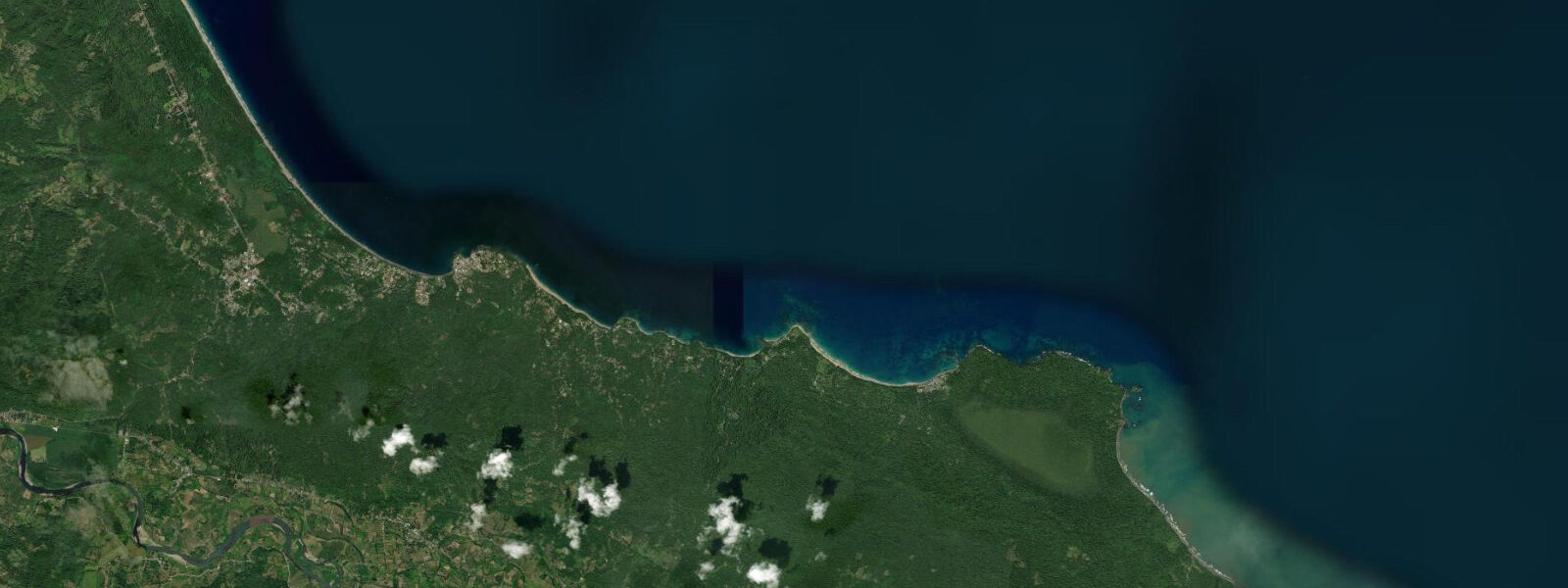
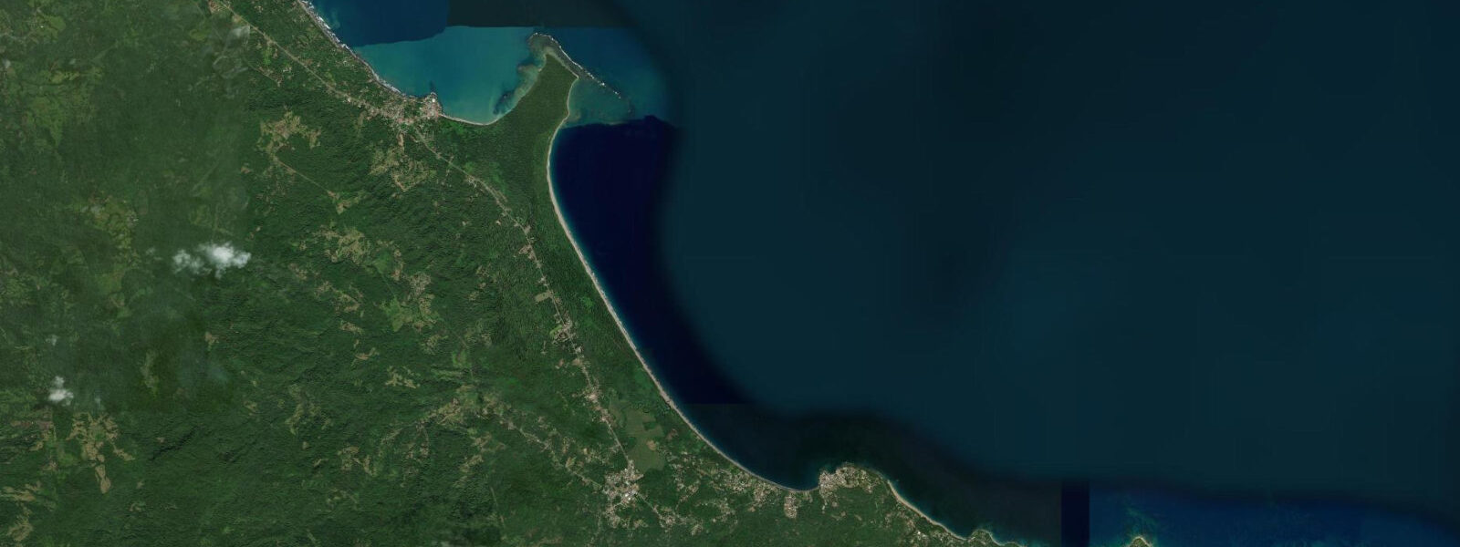
Manzanillo is where the road ends. The paved highway south from Puerto Viejo de Talamanca reaches the village and stops; beyond here is Panama, and the only way forward is on foot through the Gandoca-Manzanillo Wildlife Refuge. This terminus quality — the sense of arriving at the furthest point of a connected system — is part of what defines the place. It is small, quiet, and has been for a long time, not because it lacks interest but because getting here requires commitment.
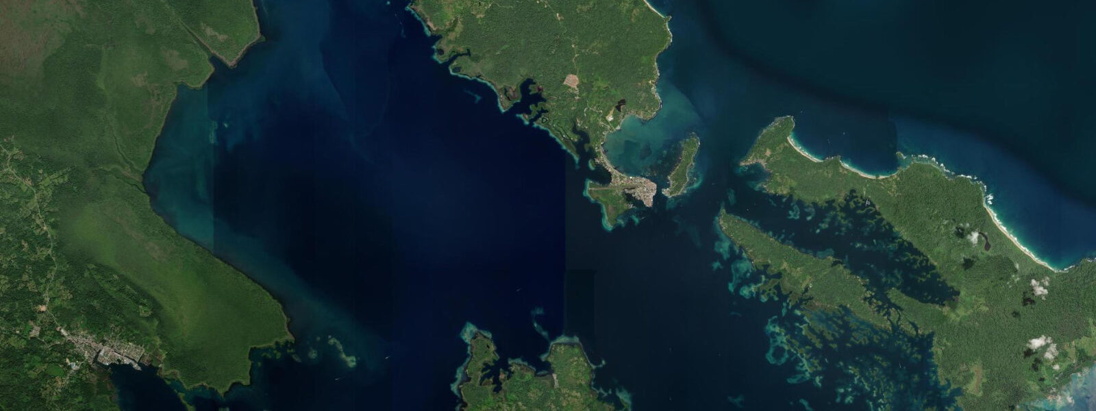
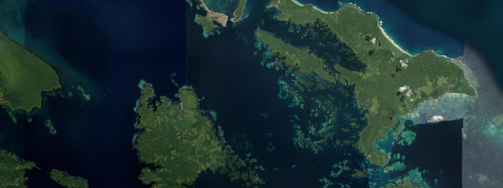
The Gandoca-Manzanillo Wildlife Refuge covers 9,449 hectares of land and marine habitat, running south along the coast from just north of Manzanillo to the Panamanian border at Gandoca. The marine section includes the best snorkelling on Costa Rica's Caribbean coast — coral reefs in 3 to 8 metres of water extending from the point, with hard and soft coral coverage that benefits from the relative isolation of the site. Access is directly from the beach in front of the village; boat tours go out to the outer reef sections in deeper water.
Four sea turtle species nest on the beaches within the refuge from March through October. Leatherback (Dermochelys coriacea) is the largest — females nest from March through July on the Gandoca beach inside the refuge, the most important leatherback beach on Costa Rica's Caribbean coast. Green, hawksbill, and loggerhead turtles follow through the summer and into October. ANAI, a Costa Rican conservation NGO, manages the turtle monitoring programme at Gandoca and accepts volunteers during the season.
Tapir (Tapirus bairdii) come to the beach at dawn. This is documented behaviour, observed repeatedly by local guides and documented in conservation surveys — Baird's tapir, the largest land animal in Central America (up to 300 kilograms), walks the beach edge in the early morning hours before retreating into the forest when the day heats up. Manzanillo is one of the few places in Costa Rica where this beach-visiting behaviour is reliably seen. The best strategy is to be on the beach by 05:30 and walk slowly south toward the refuge boundary.
Dolphin sightings offshore are consistent and sometimes spectacular. Bottlenose dolphin (Tursiops truncatus) and the smaller tucuxi (Sotalia guianensis, the only dolphin species adapted to both freshwater and marine environments) are both present in the nearshore waters. Tucuxi are frequently seen in groups of 5 to 20 animals hunting fish in the surf zone, behaviour that brings them close enough to photograph from the beach. Whale encounters (humpback, on migration) occur offshore in season.
The trail from Manzanillo south to Punta Mona takes approximately 4 hours one-way along a path that follows the cliff and forest edge above the sea. The route passes through dense rainforest, with short descents to beaches and coves accessible only from this trail or by sea. Punta Mona is a private permaculture farm and education centre; overnight stays can be arranged through their programme, which gives access to the southern section of the coast not otherwise reachable in a single day from Manzanillo.
The Caribbean tidal range at Manzanillo is 0.3 to 0.5 metres — consistent with the microtidal regime throughout this coast. The tide does not significantly alter the beach profile, but it matters for reef depth: the lowest tides of the day (typically in the early morning during certain lunar phases) bring the coral heads close enough to the surface that fins are a navigational hazard. The best snorkelling over the outer reef sections is at mid-tide in calm sea conditions.
The village has a handful of restaurants (local Afro-Caribbean cooking — rondon, rice-and-beans in coconut milk, fresh fish), a small market, and basic guesthouse accommodation. Puerto Viejo, 13 kilometres north, is the nearest town with an ATM, supermarket, and broader accommodation range. The road between them is paved and cyclable. Most visitors to Manzanillo are day-trippers from Puerto Viejo; the village sees fewer overnight stays than its ecological interest deserves.
The forest immediately behind the village and along the trail holds three-toed sloth, howler monkey, white-faced capuchin, and spider monkey. Great green macaw has been recorded in the refuge. The bird list for Gandoca-Manzanillo exceeds 350 species.
Predictions on this page come from Open-Meteo Marine, a gridded global ocean model. Accuracy is typically within plus or minus 45 minutes on timing and 0.2 to 0.3 metres on height — model-derived, not from a local gauge. The Instituto Meteorológico Nacional (IMN) and NOAA's Caribbean tidal network provide regional observational data for Costa Rica's Caribbean coast.
Tide questions about Manzanillo
Quick answers to the most common questions about tide times, range, and water access at Manzanillo.
Do tapir really come to the beach at Manzanillo?
Yes. Baird's tapir (Tapirus bairdii) visiting the beach in the early morning is documented behaviour at Manzanillo, recorded by local naturalist guides and noted in conservation survey reports for the Gandoca-Manzanillo refuge. The mechanism is not fully understood — salt lick behaviour is one hypothesis, thermoregulation another. The animals walk the beach edge before dawn and retreat into the forest as the day heats up. The window for sightings is narrow: arrive at the beach by 05:30, walk quietly south toward the refuge boundary, and scan the forest edge and waterline. Sightings are not guaranteed on any specific morning, but they are frequent enough that experienced guides in Puerto Viejo offer early morning tapir walks specifically timed to this behaviour. Tapir are the largest land mammals in Central America — an adult female can weigh 250 kilograms — and their tracks in the wet sand are unmistakable.
What sea turtle species nest at Manzanillo and Gandoca?
The Gandoca beach within the refuge is the most important leatherback turtle (Dermochelys coriacea) nesting site on Costa Rica's Caribbean coast. Females nest from March through July, with peak activity in April and May. Leatherbacks are the largest sea turtles (up to 700 kilograms) and do not have the hard shell of the other species — the carapace is instead a rubbery, leather-like skin over cartilage. Green turtle, hawksbill, and loggerhead also nest in the refuge from approximately May through October. Nesting is nocturnal. ANAI, a Costa Rican conservation organisation, manages the monitoring programme at Gandoca; they accept international volunteers during nesting season, which is a way to participate in the monitoring and see the turtles in a responsible, scientific context.
What is the snorkelling like at Manzanillo compared to Cahuita?
The reef at Manzanillo is generally considered the best snorkelling on Costa Rica's Caribbean coast, with Cahuita a close second. The relative isolation of Manzanillo — fewer day visitors, less boat traffic, less runoff pressure — has kept the reef in better condition on its most accessible sections. The coral starts within 50 metres of the beach at the point and extends to a maximum accessible depth of about 8 metres for snorkellers. Hard coral coverage includes brain, star, and lettuce coral; soft coral is present on the outer sections. The 1991 earthquake affected this coast as well, and depth profiles changed, but the Manzanillo reef was already deeper in its better sections and suffered less from the uplift than the shallower Cahuita sections. Calm sea conditions are essential — visibility drops significantly in any chop.
What is the trail to Punta Mona like and can you do it in a day?
The trail from Manzanillo south to Punta Mona is approximately 9 kilometres one-way, following the cliff and forest edge above the Caribbean. The route takes 3.5 to 4.5 hours one-way at a reasonable hiking pace, with sections of steep descent to beaches and coves along the way. The terrain is muddy after rain — this coast receives 3,000 to 4,000 millimetres annually and there is no genuine dry season. Waterproof footwear is strongly recommended. A day return from Manzanillo is possible but long (7 to 9 hours total walking); most people who go to Punta Mona stay overnight at the permaculture farm there, which requires advance booking. The trail passes through intact primary and secondary rainforest; wildlife sightings along the way include sloth, monkey, and numerous bird species. No motorised transport exists beyond Manzanillo — foot or boat are the only options.
What dolphins can you see at Manzanillo and when?
Two dolphin species are regularly seen in the nearshore waters at Manzanillo. Bottlenose dolphin (Tursiops truncatus) appears in groups of 5 to 30 animals, typically offshore or in the surf zone, year-round. Tucuxi (Sotalia guianensis) is smaller — about 1.5 metres — and frequently hunts fish actively in the surf zone and in the shallows close to the beach, which brings it within clear view from shore. Tucuxi is the only dolphin species found in both marine and freshwater environments; the same species that hunts in these Caribbean waters also lives in the Amazon River. Humpback whale is encountered offshore in two migration windows: northbound adults with calves pass approximately January through March; southbound individuals pass June through August. Whale-watching boat tours operate from Puerto Viejo during these windows. Spinner dolphin is occasionally seen offshore but is not a consistent nearshore species at this location.
8-day tide table — Manzanillo
Heights relative to MSL. Predictions: Open-Meteo Marine (MeteoFrance SMOC, 0.08° grid) — heights relative to MSL (not chart datum / LAT). Model-derived.
| Day | Type | Time | Height |
|---|---|---|---|
| Fri 03 Jul | High | 18:00 | 0.3m |
| Sat 04 Jul | Low | 09:45 | 0.0m |
| High | 16:50 | 0.3m | |
| Low | 21:00 | 0.2m | |
| Sun 05 Jul | High | 03:00 | 0.3m |
| Mon 06 Jul | Low | 10:00 | 0.1m |
| High | 17:00 | 0.4m | |
| Tue 07 Jul | Low | 10:10 | 0.1m |
| Wed 08 Jul | High | 18:00 | 0.4m |
| Thu 09 Jul | — | ||
| Fri 10 Jul | Low | 02:50 | 0.0m |
| High | 17:00 | 0.4m | |