Cahuita tide times
Cahuita tide forecast — heights relative to MSL.
Tide chart for Cahuita
24-hour cosine-interpolated curve around the present moment. Heights relative to MSL. Predictions: Predictions: Open-Meteo Marine (MeteoFrance SMOC, 0.08° grid).
Sun, moon and conditions on Fri 03 Jul
Snapshot at build time — refreshes daily. Sea state from Open-Meteo Marine.
Highs and lows next 7 days
Every predicted high and low for the next week, with the daily tidal coefficient (0–120; higher = bigger swing, > 95 means stronger currents).
Other spots nearby
The three closest curated TideTurtle locations to Cahuita, measured by great-circle distance.
Today's solunar windows
Solunar tradition: major periods are the ≈3h windows around moon transit and opposition; minor are ≈2h around moonrise and moonset. Pair with the local tide stage and wind for the best read.
Cycle dates near Cahuita
Last spring tide on Fri 03 Jul (range 0.3m). Next spring tide on Thu 09 Jul (range 0.4m). Next neap on Sat 04 Jul.
Spring tides cluster around new and full moons (biggest swings). Neap tides land on quarter moons (smallest swings). See the spring tide and neap tide glossary entries for the why.
About tides at Cahuita
A short guide to the coastline at Cahuita — geography, sea state, and what the tide is actually doing under your feet.
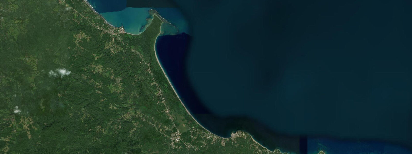
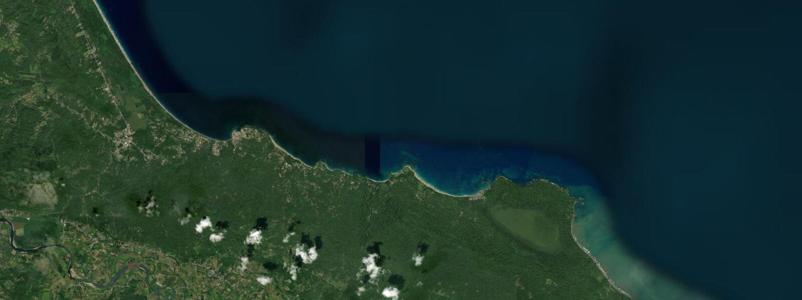
Cahuita is a small town on Costa Rica's Caribbean coast, 43 kilometres south of Limón, built around the peninsula of Punta Cahuita and the national park that shares its name. The park protects two beaches and the most intact coral reef on Costa Rica's Caribbean side — approximately 600 hectares of reef extending offshore from the point. The town itself is the low-key, Afro-Caribbean-inflected alternative to the more packaged beach towns on Costa Rica's Pacific coast: reggae, rice-and-beans cooked with coconut milk, English Creole dialect, and a pace that doesn't hurry.
The reef is the primary attraction for anyone with a mask and snorkel. The best access is from Playa Blanca, the beach inside the national park on the western side of the peninsula, where the reef begins in 2 to 3 metres of water within easy swimming distance of shore. The entry at the Cahuita town park entrance is pay-what-you-wish (the formal entry on the other side of the park charges a standard national park fee). The reef here holds brain coral, star coral, and fan coral alongside surgeonfish, parrotfish, angelfish, snapper, and hawksbill turtles. The coral cover is not uniform — the 1991 earthquake damaged it, and periodic bleaching events have added to the stress — but the best sections remain genuinely good by Caribbean standards.
The 1991 earthquake (moment magnitude 7.6, centred approximately 200 kilometres south of Limón off the Panamanian coast) uplifted the shoreline along much of this coast by 1.5 metres. The uplift changed the depth profile of the reef: sections that had been in 2 to 4 metres of water moved to 0.5 to 2.5 metres, exposing portions of living reef to increased wave energy and UV radiation. The affected sections bleached and died within months. The surviving reef recovered on the deeper sections and has continued to grow, but the overall coverage is lower than pre-earthquake surveys documented.
The coastal trail through the park is 9 kilometres return and flat throughout — it follows the beach and forest edge from the town entrance around the point and out to the Puerto Vargas ranger station on the eastern side. Three-toed sloth is routinely seen in the cecropia trees along the trail, hanging motionless in the upper canopy. Howler monkey and white-faced capuchin are in the same forest. Coati move along the beach edge in small groups, unbothered by people. Raccoon and kinkajoú use the forest at night. The walk takes 2.5 to 3 hours one-way at a relaxed pace; most visitors do a partial section and return.
The Caribbean tidal range at Cahuita is 0.3 to 0.4 metres — the lowest tidal variation on the Costa Rican coast. The reef is accessible for snorkelling at all tide states, though the very lowest tides (typically the early morning low) reduce the water over the shallowest reef sections to 0.5 metres or less, which can make navigation tricky near the coral heads. The best snorkelling conditions combine a mid-tide state with calm sea conditions — the reef visibility degrades sharply in any surge or wind chop, and Cahuita's Caribbean exposure means conditions can change within hours.
The town has one main street running parallel to Playa Negra (black sand, volcanic, fronting the Caribbean directly outside town) and a cluster of guesthouses, restaurants, and small shops in the blocks behind. Playa Negra is swimmable when the swell is calm but has irregular rip currents in larger conditions — assess before entering. The water temperature runs 26 to 29°C year-round on this coast, which eliminates any need for a wetsuit.
The Afro-Caribbean community here traces its origins to the 19th-century banana plantation economy, when English-speaking workers from Jamaica were brought in by the United Fruit Company to develop the railroad and the plantations. The result is a cultural layer distinct from the Spanish-speaking interior of Costa Rica: a Creole English still spoken by older residents, food traditions that run through cassava, breadfruit, and coconut, and a connection to Caribbean music traditions rather than the cumbia and merengue of the Pacific coast.
Predictions on this page come from Open-Meteo Marine, a gridded global ocean model. Accuracy is typically within plus or minus 45 minutes on timing and 0.2 to 0.3 metres on height — model-derived, not from a local gauge. The Instituto Meteorológico Nacional (IMN) and NOAA's Caribbean tidal network provide regional observational data for Costa Rica's Caribbean coast.
Tide questions about Cahuita
Quick answers to the most common questions about tide times, range, and water access at Cahuita.
How did the 1991 earthquake affect the Cahuita reef?
The earthquake of April 22, 1991 (moment magnitude 7.6) was one of the strongest to affect Costa Rica in the 20th century. Its epicentre was offshore near the Costa Rica-Panama border, and it uplifted the Limón coast — including Cahuita — by approximately 1.5 metres. This uplift changed the depth profile of the entire reef system: coral that had been growing in 2 to 4 metres moved to 0.5 to 2.5 metres practically overnight. The shallower sections bleached from UV and heat exposure and died within months. Subsequent surveys documented a significant reduction in coral cover compared to pre-earthquake baselines. Recovery has continued on the deeper sections, and the reef today is a functioning ecosystem, but it is measurably less extensive than before 1991. Periodic bleaching events since (notably in 2010 and 2016) have added further stress.
What is the best way to snorkel the Cahuita reef?
The most accessible entry is from Playa Blanca inside the national park, reached via the trail from the Cahuita town entrance (no fee required, though donations are collected). Swim out 50 to 100 metres from the beach and the reef begins in 2 to 3 metres of water. Guided boat tours from the town dock take you to the outer sections of the reef in deeper water, where coral cover is generally better and fish diversity higher. Conditions matter more than timing: the reef is turbid in any significant swell or wind, and visibility can drop from 10 metres to 2 metres in hours. The calmest conditions are typically in the early morning before the sea breeze builds. The tidal range (0.3 to 0.4 metres) is not a significant factor, though avoid the very lowest tides over the shallowest sections.
Is the coastal trail through Cahuita National Park difficult?
The trail is genuinely easy — flat, well-maintained, and mostly in shade under forest canopy or along the beach edge. It is 9 kilometres return from the Cahuita town entrance to the Puerto Vargas ranger station on the far side of the peninsula. The surface is packed dirt and sand; standard trainers are sufficient, though the beach sections get soft. The only challenges are heat (it is very humid on this coast, particularly in the morning) and river crossings at one point on the trail that can be knee-deep after heavy rain. Wildlife is not a hazard: the coatis along the beach are bold around food but will not cause injury. Walking time is 2.5 to 3 hours one-way at a relaxed pace, with stops for wildlife. Most visitors do a partial section and turn back.
What is the cultural background of the Cahuita community?
The Afro-Caribbean identity of Cahuita and the surrounding Limón coast derives from 19th-century labour migration. When Minor Keith built the Atlantic railroad (completed 1890) and developed banana plantations for what became the United Fruit Company, he recruited English-speaking workers from Jamaica, the smaller Caribbean islands, and African-descent communities from Panama. These workers settled the coast, brought their language, food, music, and spiritual practices, and became the foundation of the coastal community. Limonense Creole English (distinct from Jamaican patois though related) was the first language of the coast for generations. Today it coexists with Spanish, which became mandatory in schools after the 1948 Civil War when Afro-Costa Ricans were granted citizenship. The food — rice and beans cooked with coconut milk, rondon (a coconut-milk seafood stew), cassava preparations — is distinct from the interior.
When is the best time to visit Cahuita for weather and reef conditions?
The Caribbean coast of Costa Rica has a different seasonal pattern from the Pacific. The driest and calmest months are typically September and October (a dry corridor that locals call 'veranillo'), and February and March. These are the best periods for reef visibility and calm sea conditions for snorkelling. The most reliable rain comes in June through August and again in November and December. But 'dry' on this coast is relative — Cahuita receives around 3,000 to 3,500 millimetres of rain annually, much of it in sharp afternoon showers that clear quickly. The water temperature is consistent year-round (26 to 29°C). For wildlife on the coastal trail, the dry periods mean better visibility through the forest canopy, though animals are present at all times.
8-day tide table — Cahuita
Heights relative to MSL. Predictions: Open-Meteo Marine (MeteoFrance SMOC, 0.08° grid) — heights relative to MSL (not chart datum / LAT). Model-derived.
| Day | Type | Time | Height |
|---|---|---|---|
| Fri 03 Jul | — | ||
| Sat 04 Jul | High | 02:45 | 0.4m |
| Low | 09:45 | 0.0m | |
| High | 16:50 | 0.3m | |
| Low | 21:00 | 0.2m | |
| Sun 05 Jul | High | 03:00 | 0.3m |
| Mon 06 Jul | Low | 09:50 | 0.1m |
| High | 17:00 | 0.4m | |
| Low | 23:10 | 0.2m | |
| Tue 07 Jul | High | 04:00 | 0.3m |
| Low | 10:10 | 0.1m | |
| Wed 08 Jul | High | 18:00 | 0.4m |
| Thu 09 Jul | — | ||
| Fri 10 Jul | Low | 02:50 | 0.0m |
| High | 17:00 | 0.4m | |