Muri Beach, Rarotonga tide times
Muri Beach, Rarotonga tide forecast — heights relative to MSL.
Today's tide times for Muri Beach, Rarotonga
Tide times at Muri Beach, Rarotonga on Saturday, 4 July 2026: first high tide at 02:00pm, first low tide at 06:21pm. Sunrise 07:17am, sunset 06:09pm.
Tide chart for Muri Beach, Rarotonga
24-hour cosine-interpolated curve around the present moment. Heights relative to MSL. Predictions: Predictions: Open-Meteo Marine (MeteoFrance SMOC, 0.08° grid).
Sun, moon and conditions on Sat 04 Jul
Snapshot at build time — refreshes daily. Sea state from Open-Meteo Marine.
Highs and lows next 7 days
Every predicted high and low for the next week, with the daily tidal coefficient (0–120; higher = bigger swing, > 95 means stronger currents).
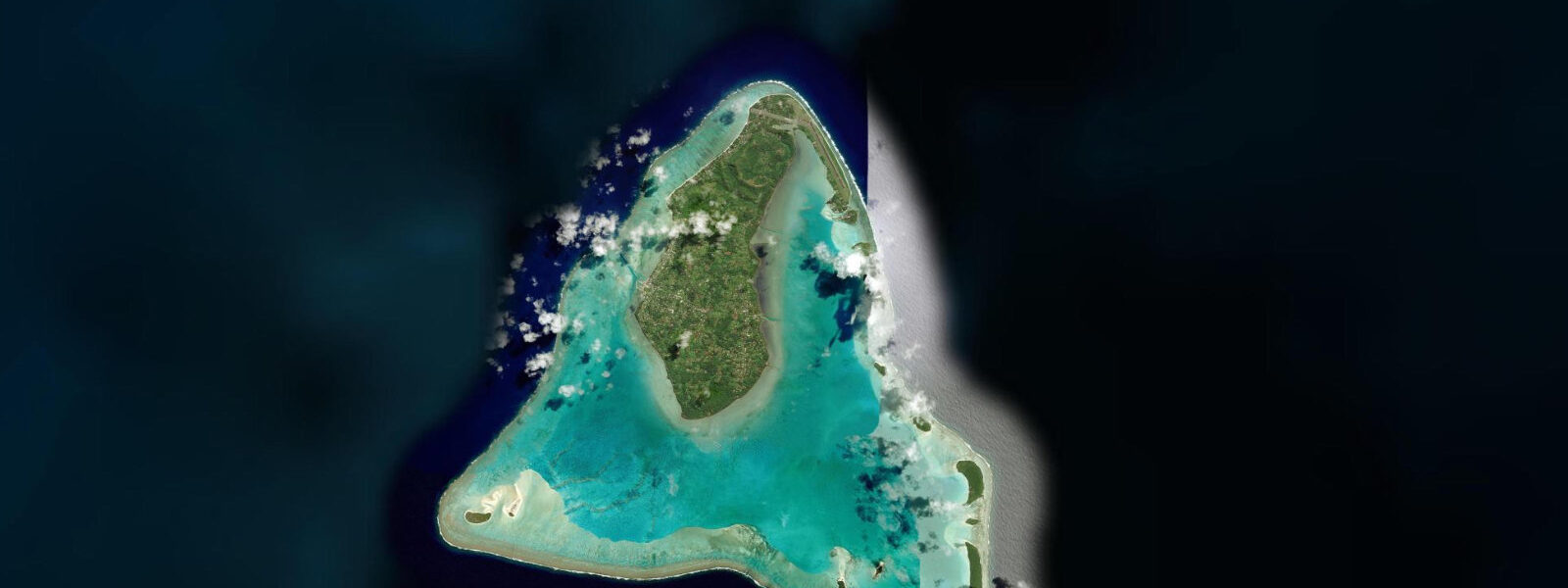
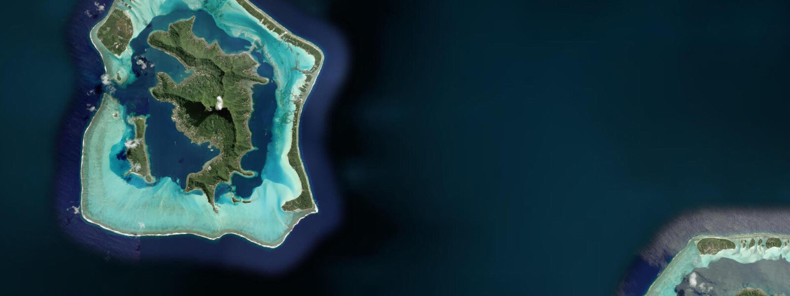
Other spots nearby
The three closest curated TideTurtle locations to Muri Beach, Rarotonga, measured by great-circle distance.
Today's solunar windows
Solunar tradition: major periods are the ≈3h windows around moon transit and opposition; minor are ≈2h around moonrise and moonset. Pair with the local tide stage and wind for the best read.
Cycle dates near Muri Beach, Rarotonga
Next spring tide on Fri 10 Jul (range 0.6m). Last neap on Sat 04 Jul.
Spring tides cluster around new and full moons (biggest swings). Neap tides land on quarter moons (smallest swings). See the spring tide and neap tide glossary entries for the why.
About tides at Muri Beach, Rarotonga
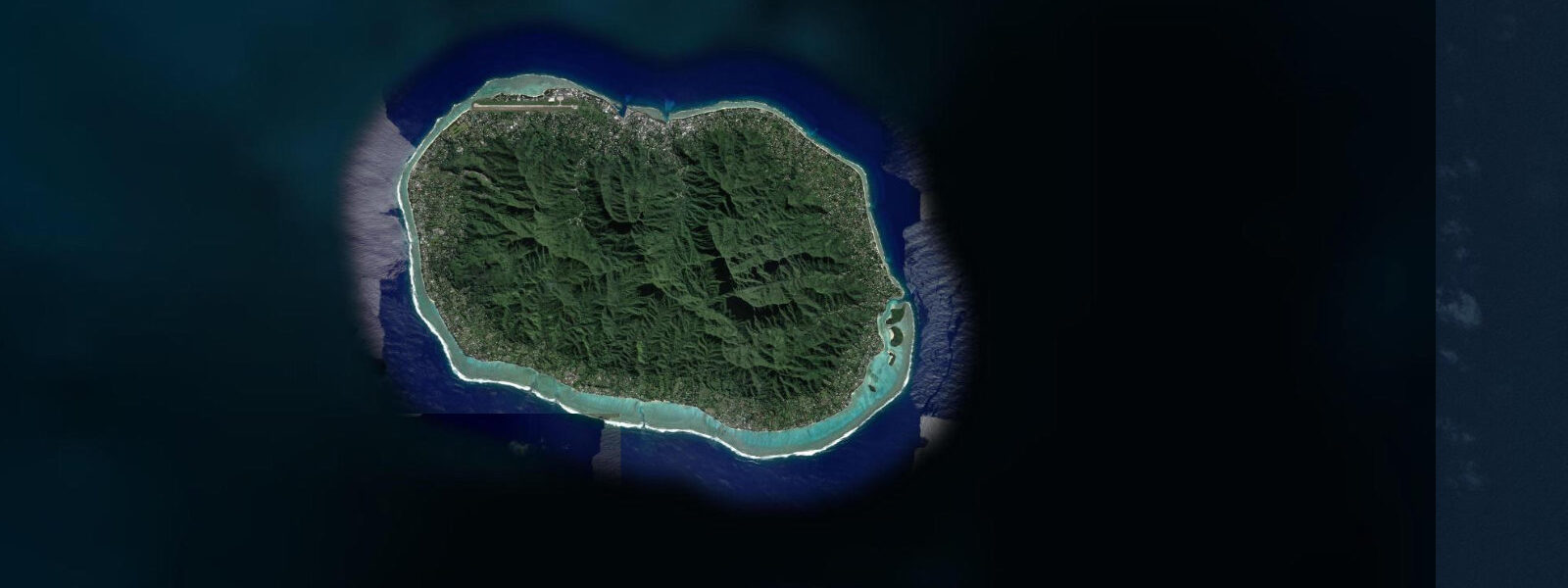
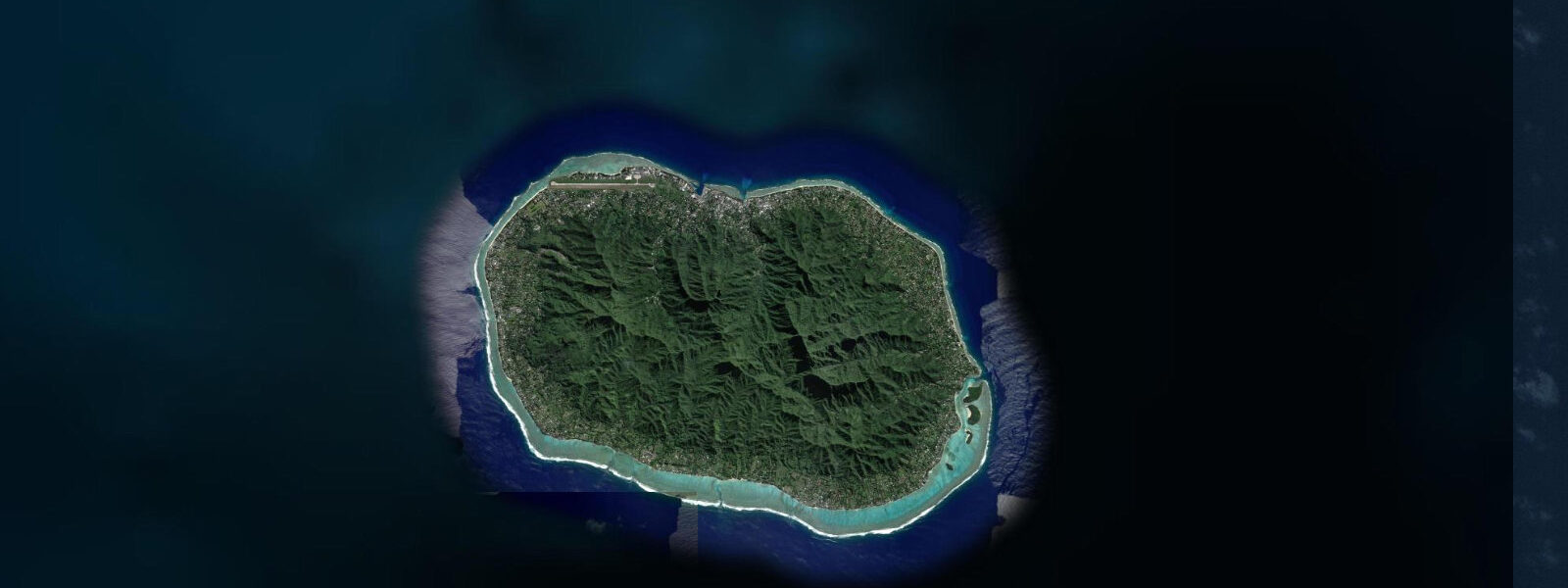
A short guide to the coastline at Muri Beach, Rarotonga — geography, sea state, and what the tide is actually doing under your feet.
Muri Beach on Rarotonga's southeast coast is the most sheltered and most-used lagoon on the island. A continuous section of reef, reinforced on the seaward side by four sandy motus (Taakoka, Koromiri, Oneroa, and Motutapu), deflects the prevailing southeast trade-wind swell before it reaches the lagoon. The result is a protected body of water 1.0 to 2.5 kilometres long and 300 to 600 metres wide at high water, with a sandy floor visible through the clear blue-green shallows and the motu silhouettes across the lagoon.
The tidal range at Muri is identical to the rest of Rarotonga: mixed semidiurnal, spring range 0.5 to 0.8 metres. That small range has a disproportionate effect on the inner lagoon because the lagoon floor is so shallow. The sand flat on the western inner edge of the lagoon sits at 0.3 to 0.8 metres at high water — snorkellable, paddleable, and clear. At low water springs this flat drops to 0.0 to 0.3 metres — walkable but not swimmable across the inner section. The reef passages between the motus are the tidal exchange points; current through the Koromiri–Oneroa gap and the southern passage below Motutapu runs to 0.5 to 0.8 knots at spring ebb and flood — moderate enough for confident kayakers but noticeable for those crossing the passage in a stand-up paddleboard.
Tide data for Muri Beach comes from Open-Meteo Marine, a global gridded ocean model. Accuracy is typically ±45 minutes on timing and ±0.2 to 0.3 metres on height. At Muri's small range, that height uncertainty means the difference between a comfortable snorkel over the inner sand flat and finding 10 centimetres of water over coral rubble is not always precisely predictable. Check the tide page, then allow 30 minutes buffer before entering the shallowest inner zones.
Kayaking from the Muri Beach foreshore to the motus is the most popular water activity on Rarotonga. Multiple operators on the beach rent sit-on-top kayaks and outrigger canoes by the hour. The crossing from the main beach to Koromiri — the nearest motu — is 400 metres across the lagoon centre, calm water at any tide above 0.5 metres. Koromiri and Oneroa are accessible by permit (Muri Beach Riders handles permits for most visitors); the outer motus, Motutapu and Taakoka, are within paddling range but require crossing the main tidal passage at the reef edge. That passage runs 0.5 to 0.8 knots at spring peaks; experienced paddlers manage it easily, but beginners should return before the current builds on the ebb.
Snorkelling on the Muri lagoon reef is best on the eastern face of the inner reef — the coral bommies running along the reef's lagoon-facing side. At 1.0 to 1.5 metres of depth at high water, the bommies are easy snorkel territory: parrotfish, surgeonfish, blue-green damselfish, and the occasional blacktip reef shark in the deeper cuts near the passages. The inner sand flat is a separate environment — sea grass and sand, less coral, home to sea cucumbers, small rays, and juvenile fish. Both zones are within 200 metres of the beach, accessible without a boat.
For families, the inner sand flat at mid-to-high water is the optimum zone: knee-to-waist depth, no current, sandy bottom, and the motus as a visual anchor across the lagoon. Paddling across the calm centre to Koromiri with children is standard practice from the Muri foreshore. The one caution is timing: arriving at low water springs on the inner flat means ankle-to-shin depth over coral rubble — uncomfortable and reef-damaging if children walk on the coral. Aim for the two hours after the predicted low to be on the rising side with usable depth.
For stand-up paddleboards, the inner lagoon gives flat-water conditions on any tide and any wind from the south or southeast — the prevailing direction. A northwest or north wind (uncommon but possible in the Cook Islands wet season from November to March) creates chop in the lagoon interior that challenges beginners on a paddleboard. Rental operators on the beach monitor conditions and advise accordingly. Evening light on the lagoon, with the sun tracking north of Rarotonga, reflects off the water and illuminates the motus from the east — afternoon sessions give the cleanest light on the motu faces for photography from a paddleboard.
Fishing from a kayak in the Muri lagoon targets trevally in the passage currents near the reef edge and parrotfish over the coral on the reef flat. The passage turns — 30 minutes after high or low — are the productive windows for trevally; the fish stack at the current edge where the passage meets the calmer lagoon. Cast parallel to the current edge rather than directly into the flow. Fishing inside the lagoon proper is low-yield; the reef passages and the outer reef face (accessible by crossing through the motus) carry the most fish biomass.
Tide questions about Muri Beach, Rarotonga
Quick answers to the most common questions about tide times, range, and water access at Muri Beach, Rarotonga.
What is the tidal range at Muri Beach and when can I snorkel the inner lagoon?
Muri Beach has a mixed semidiurnal tidal range of 0.5 to 0.8 metres on springs — small globally but significant in this shallow lagoon. The inner sand flat drops to 0.0 to 0.3 metres at low water springs, making it walkable but not snorkellable. Snorkelling works on the inner flat from two hours after the predicted low as the tide rises, with the best conditions in the two hours centred on high water when depth over the coral bommies reaches 1.0 to 1.5 metres. Tide data here is from Open-Meteo Marine — accuracy ±45 minutes, ±0.2 to 0.3 metres — so add a 30-minute buffer before entering the shallowest inner zones.
How strong are the tidal currents in the Muri lagoon passages?
Current through the reef passages between the motus — particularly the Koromiri–Oneroa gap and the southern passage below Motutapu — reaches 0.5 to 0.8 knots at spring ebb and flood. That is noticeable on a kayak or stand-up paddleboard crossing the passage but manageable for confident paddlers. Beginners should plan motu crossings during the slack-water window (30 minutes either side of high or low) and return before the current builds. The inner lagoon away from the passages has negligible current at any tidal state — flat water regardless of what the tide is doing.
Can families with young children safely use the Muri Beach lagoon?
The inner sand flat at mid-to-high water is well-suited to families: knee-to-waist depth, sandy bottom, no meaningful current, and the motus visible across the lagoon. The single timing caution is low water: at spring low the inner flat is 0 to 30 centimetres over coral rubble — uncomfortable for children to walk on and reef-damaging. Plan to arrive at the beach two hours after the predicted low, on the rising tide, to ensure workable depth. The kayak crossing to Koromiri (400 metres, calm water) is standard for children from age 6 to 7 with a parent in a tandem kayak.
What marine life can I expect while snorkelling in the Muri lagoon?
The coral bommies along the inner reef's lagoon-facing edge — at 1.0 to 1.5 metres depth at high water — hold parrotfish, surgeonfish, blue-green damselfish, and hawksbill turtles on the deeper bommie edges. The sandy inner flat has sea cucumbers, small eagle rays in the sand channels, and juvenile fish in the sea-grass patches. The passage edges near the reef cuts occasionally produce blacktip reef sharks, which use the current breaks to rest between feeding forays. For the most diverse reef fish assemblage, snorkel the outer edge of the bommie line closest to the reef — more coral structure, more shelter, more species.
Is there a permit required to visit the motus from Muri Beach?
Koromiri and Oneroa — the two inner motus most commonly visited — require a permit. Muri Beach Riders and other rental operators on the foreshore handle permit sales as part of their kayak hire package; confirm when renting. The outer motus, Motutapu and Taakoka, are within paddling distance but the crossing from the inner lagoon to the outer reef side requires passing through the main tidal passage. Check with the rental operator about current permit requirements for the outer motus before attempting the crossing, as access terms have been adjusted periodically to manage visitor impact on nesting seabirds.
8-day tide table — Muri Beach, Rarotonga
Heights relative to MSL. Predictions: Open-Meteo Marine (MeteoFrance SMOC, 0.08° grid) — heights relative to MSL (not chart datum / LAT). Model-derived.
| Day | Type | Time | Height |
|---|---|---|---|
| Sat 04 Jul | High | 14:00 | 0.8m |
| Low | 18:21 | 0.4m | |
| Sun 05 Jul | High | 12:50 | 0.9m |
| Low | 19:04 | 0.4m | |
| Mon 06 Jul | High | 01:10 | 0.9m |
| Low | 19:38 | 0.4m | |
| Tue 07 Jul | High | 01:50 | 0.9m |
| Low | 08:10 | 0.4m | |
| High | 14:12 | 0.9m | |
| Low | 20:20 | 0.4m | |
| Wed 08 Jul | High | 02:38 | 0.9m |
| Low | 08:55 | 0.4m | |
| High | 15:10 | 0.9m | |
| Low | 21:00 | 0.4m | |
| Thu 09 Jul | High | 03:21 | 0.9m |
| Low | 09:50 | 0.4m | |
| High | 16:00 | 0.9m | |
| Low | 22:00 | 0.4m | |
| Fri 10 Jul | High | 04:21 | 1.0m |
| Low | 10:54 | 0.4m | |
| High | 17:06 | 0.8m | |
| Low | 22:54 | 0.4m | |
| Sat 11 Jul | High | 05:21 | 0.9m |
| Low | 12:00 | 0.3m |