Aitutaki Lagoon, Cook Islands tide times
Aitutaki Lagoon, Cook Islands tide forecast — heights relative to MSL.
Today's tide times for Aitutaki Lagoon, Cook Islands
Tide times at Aitutaki Lagoon, Cook Islands on Friday, 3 July 2026: first high tide at 02:00pm, first low tide at 05:42pm, second high tide at 11:42pm. Sunrise 07:12am, sunset 06:13pm.
Tide chart for Aitutaki Lagoon, Cook Islands
24-hour cosine-interpolated curve around the present moment. Heights relative to MSL. Predictions: Predictions: Open-Meteo Marine (MeteoFrance SMOC, 0.08° grid).
Sun, moon and conditions on Fri 03 Jul
Snapshot at build time — refreshes daily. Sea state from Open-Meteo Marine.
Highs and lows next 7 days
Every predicted high and low for the next week, with the daily tidal coefficient (0–120; higher = bigger swing, > 95 means stronger currents).
Other spots nearby
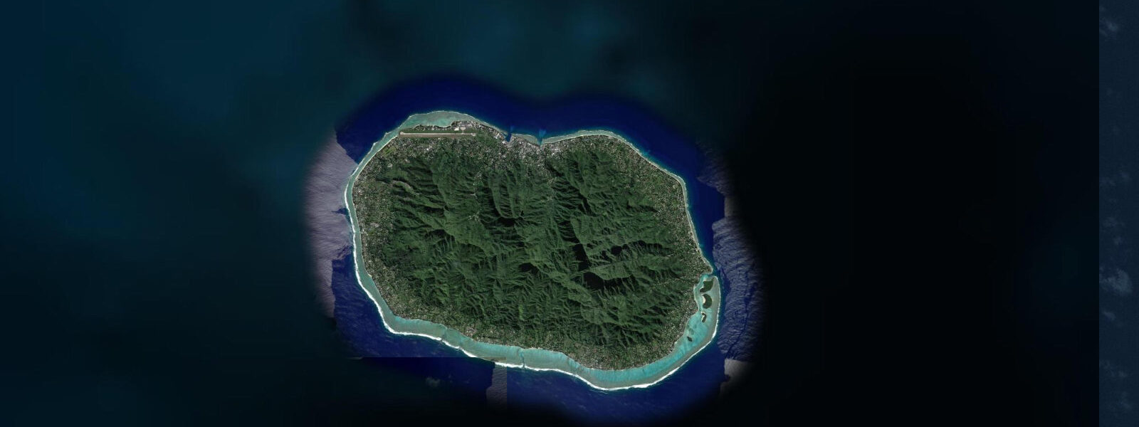
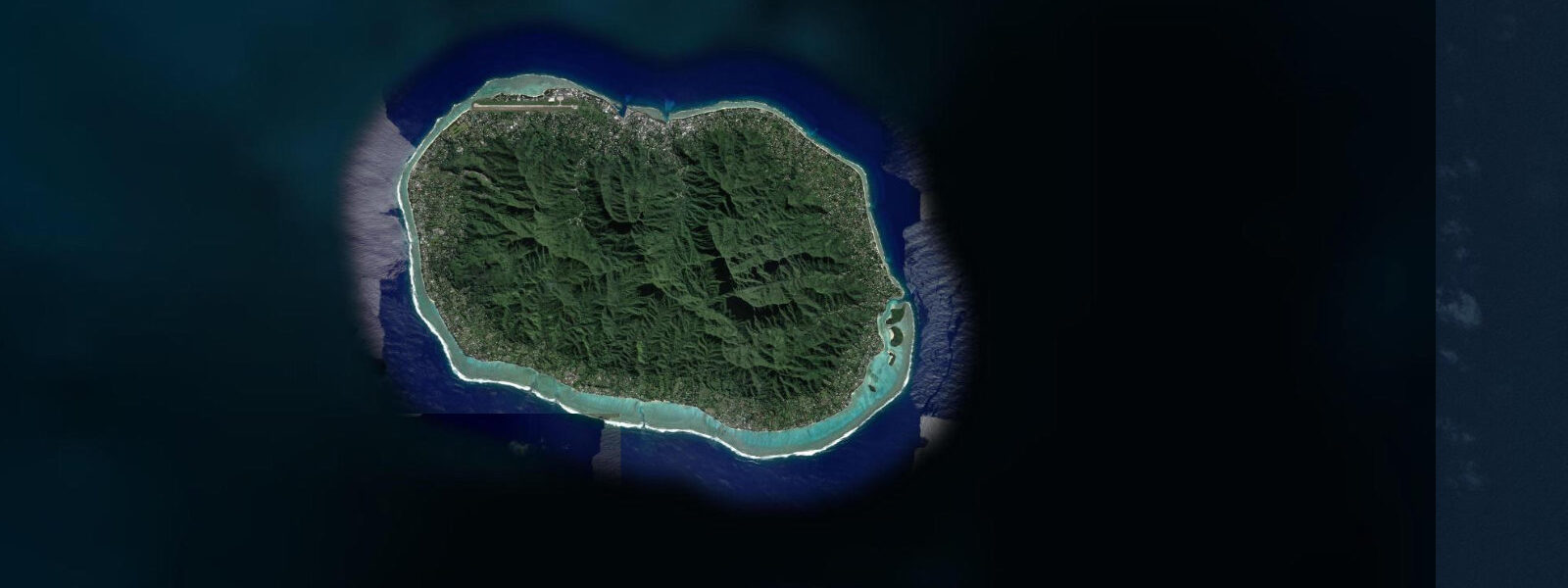
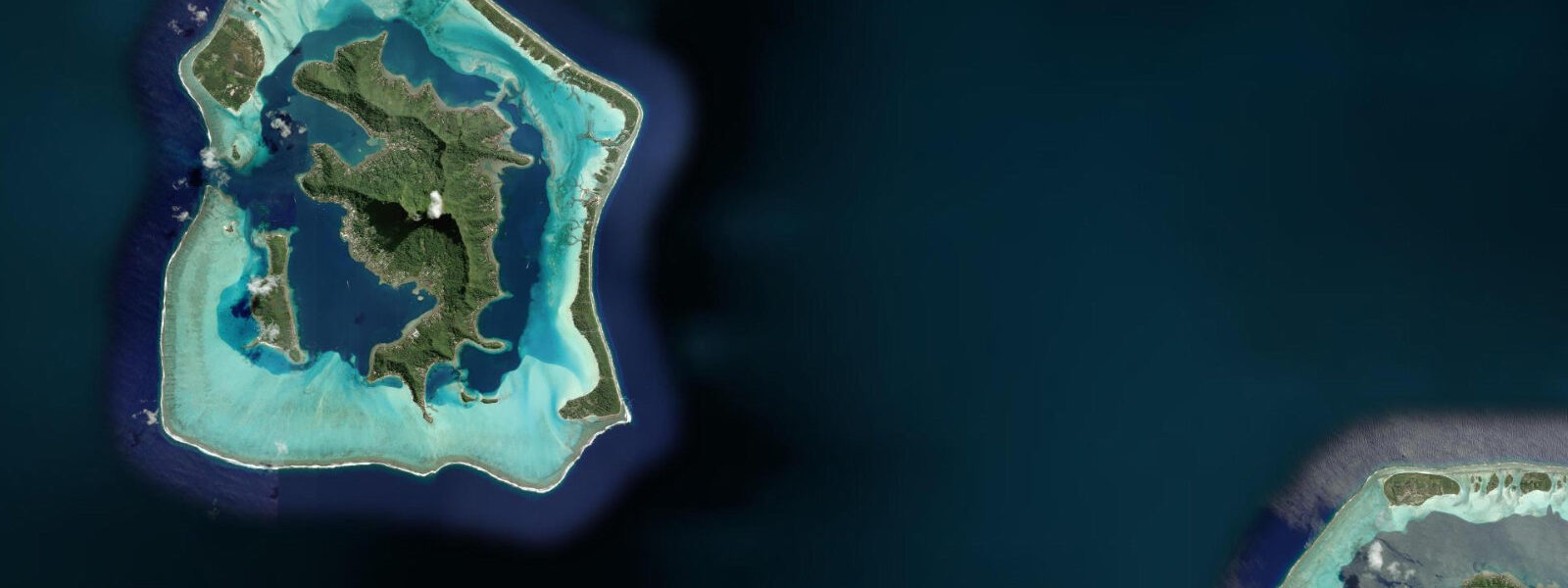
The three closest curated TideTurtle locations to Aitutaki Lagoon, Cook Islands, measured by great-circle distance.
Today's solunar windows
Solunar tradition: major periods are the ≈3h windows around moon transit and opposition; minor are ≈2h around moonrise and moonset. Pair with the local tide stage and wind for the best read.
Cycle dates near Aitutaki Lagoon, Cook Islands
Next spring tide on Tue 07 Jul (range 0.5m). Last neap on Fri 03 Jul. Next neap on Thu 09 Jul.
Spring tides cluster around new and full moons (biggest swings). Neap tides land on quarter moons (smallest swings). See the spring tide and neap tide glossary entries for the why.
About tides at Aitutaki Lagoon, Cook Islands
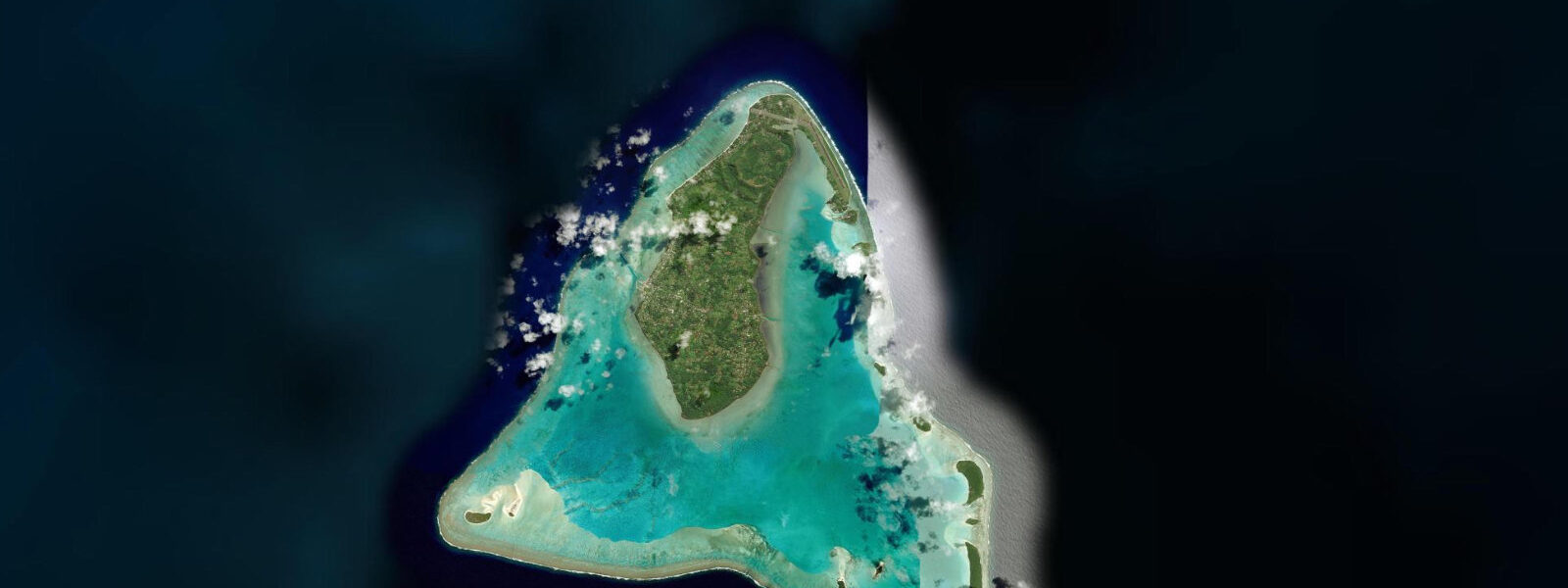
A short guide to the coastline at Aitutaki Lagoon, Cook Islands — geography, sea state, and what the tide is actually doing under your feet.
Aitutaki Lagoon is a triangular atoll 45 minutes north of Rarotonga by Air Rarotonga — a 50-square-kilometre enclosed lagoon rimmed by a volcanic plug in the northwest and a chain of islets (motus) running along the eastern and southern edge. The lagoon floor is almost entirely under 5 metres, mostly under 3 metres, and the combination of shallow depth, coral-sand floor, and intense Pacific light produces the aquamarine colour that makes Aitutaki one of the most photographed lagoons in the Pacific. One Foot Island (Tapuaetai) at the southeastern tip of the motu chain is the most visited day-trip destination — a postcard-scale beach of white sand with a rusting postbox where visitors still receive Cook Islands stamps.
The tidal regime at Aitutaki is mixed semidiurnal with a spring range of 0.5 to 0.8 metres. The lagoon's shallow depth means even this small range produces visible changes in sand flat exposure. The inner sandbanks connecting the southern motus dry completely at low water springs — walkable sand exposed between islands that are separated by navigable water at high tide. Lagoon tour boat operators (Aitutaki Lagoon Cruises and similar) time their One Foot Island runs to arrive at high water: the beach is maximally wide and the approach through the passage is at its deepest. Returning on the ebb gives a shallower inner crossing but is manageable in the flat-bottomed tour boats used for lagoon crossings.
Tide data for Aitutaki comes from Open-Meteo Marine, a global gridded ocean model. Accuracy is typically ±45 minutes on timing and ±0.2 to 0.3 metres on height. At Aitutaki's range, that height uncertainty matters for the inner sandbank crossings: a 0.2-metre model error on a predicted 0.4-metre low makes the difference between a wading crossing and a boat-accessible channel.
The southern passage through the motu chain — the main tidal exchange between the lagoon interior and the open ocean — produces the strongest current in the atoll. Peak spring current through this cut runs to 1 knot; the passage is 50 to 100 metres wide. Kayakers crossing from the main Arutanga area to the outer motus need to account for this: time the crossing to the turn of the tide, either high or low, for a slack-water crossing. A spring ebb caught mid-crossing will push a loaded kayak significantly off course on the short passage between motu and open ocean.
Snorkelling conditions in the Aitutaki lagoon are best on the outer edge of the eastern motu chain, where the reef face drops from 0.5 metres at the crest to 3 to 5 metres at the base. Coral coverage is densest here and the fish biomass highest — the reef edge benefits from the nutrient exchange through the southern passage. The inner lagoon floor is primarily white sand and sea grass, which supports turtles, rays, and sand-dwelling species but has less structural complexity. High water is the preferred snorkel window on the outer motu edge: depth above the reef crest is 0.5 to 1.3 metres more than at low water, making navigation over the shallowest coral sections far more comfortable.
For photographers, Aitutaki's light is reliably productive between 07:00 and 10:00 and again from 15:00 to 17:30 when the sun angle is low enough to create depth in the water colour. Mid-day overhead sun bleaches the aquamarine to a flat blue. The inner sandbank exposures — visible only at low water — add foreground texture to wide compositions including the motu skyline. Plan a day-trip that departs the main island at 07:00, crosses to One Foot Island on the morning high, spends mid-day on the outer reef edge snorkelling, and photographs the sandbars on the afternoon low before returning. That schedule uses both tidal extremes productively in a single day.
Families on the Aitutaki lagoon tour are the primary visitor category. The standard full-day cruise visits multiple motus, includes a snorkel stop on the outer reef, and serves a beach lunch at One Foot Island. The tour is suitable for non-swimmers — the inner lagoon is shallow enough to stand in across most of its area, and the sandy floor has no significant hazards. Strong swimmers should note that the open-ocean side of the motu chain, beyond the reef crest, is exposed to South Pacific swell and runs a different profile entirely — not the calm lagoon experience, and appropriate only with a guide familiar with the outer reef conditions.
Tide questions about Aitutaki Lagoon, Cook Islands
Quick answers to the most common questions about tide times, range, and water access at Aitutaki Lagoon, Cook Islands.
What is the tidal range at Aitutaki Lagoon and how does it affect lagoon tours?
Aitutaki's spring tidal range is 0.5 to 0.8 metres — small overall but meaningful in a lagoon mostly under 3 metres deep. The inner sandbanks connecting the southern motus dry at low water springs, and tour boats time arrival at One Foot Island for high water when the approach passage is deepest and the beach is widest. Tide data comes from Open-Meteo Marine — accuracy ±45 minutes, ±0.2 to 0.3 metres. At this shallow range, a 0.2-metre model error is a significant fraction of the total depth above the inner sandbars; tour operators with on-the-water experience calibrate against local conditions daily rather than relying solely on the predicted table.
Can I kayak independently to One Foot Island from the main Aitutaki village?
The paddle from Arutanga (the main village on the northwestern volcanic section) to One Foot Island is roughly 8 to 10 kilometres across the lagoon interior — a serious day paddle, not a casual excursion. The inner lagoon is flat water in all but northwest wind conditions, but the southern passage current requires timing. Cross the passage (50 to 100 metres wide, up to 1 knot at spring peak) at the slack-water window either side of high or low tide. Solo paddlers should inform accommodation staff of the plan and carry a VHF radio or satellite communicator. Kayak rental is available from operators near Arutanga; a guided lagoon kayak tour is the lower-risk option.
When is the best time to snorkel the outer reef edge at Aitutaki?
The outer eastern motu reef edge — the highest-biodiversity snorkel zone in the atoll — is best at high water when there is 0.5 to 1.3 metres more depth over the shallowest reef crest sections. At low water springs the reef crest in some places is 0.1 to 0.2 metres below the surface — technically snorkellable but very easy to contact coral on a swell surge. The reef face drops to 3 to 5 metres at the base, so the 0.5 to 0.8 metre tidal variation does not affect the deeper snorkel zones significantly. Light and visibility are best in the morning (07:00 to 10:00) before the wind builds chop on the outer reef face.
Is the aquamarine colour of Aitutaki Lagoon visible year-round?
The colour is a function of shallow depth over coral-sand bottom combined with Pacific light intensity — conditions present year-round. The most saturated colour occurs when the sun is at 30 to 60 degrees above the horizon, early morning and mid-to-late afternoon. Overhead mid-day sun produces a flatter, less defined blue. Seasonal variation is minimal: cloud cover during the wet season (November to March) can reduce the intensity on overcast days. Tidal state affects colour by changing the depth of water over the sand — the slightly more transparent shallow-water column at low tide produces a lighter, more cyan hue; at high tide the deeper water column appears marginally darker blue.
What wildlife can I see in the Aitutaki Lagoon beyond fish and coral?
Green sea turtles feed on the sea-grass beds in the inner lagoon, most commonly sighted in the early morning before tour boat traffic begins. The sand channel between the motus on the southern rim holds small whitetip reef sharks resting in the shallows — visible from the boat at low tide when the water above is 0.5 to 1.0 metres clear. Black-naped terns and brown noddies nest on the outer motus from roughly October to February; landing on nesting sections of the motus is restricted during this period. Spotted eagle rays cross the lagoon floor on the rising tide, visible from a kayak or snorkel surface in the clearest sections of the inner lagoon.
8-day tide table — Aitutaki Lagoon, Cook Islands
Heights relative to MSL. Predictions: Open-Meteo Marine (MeteoFrance SMOC, 0.08° grid) — heights relative to MSL (not chart datum / LAT). Model-derived.
| Day | Type | Time | Height |
|---|---|---|---|
| Fri 03 Jul | High | 14:00 | 0.8m |
| Low | 17:42 | 0.5m | |
| High | 23:42 | 0.9m | |
| Sat 04 Jul | Low | 05:45 | 0.5m |
| High | 11:54 | 1.0m | |
| Low | 18:18 | 0.5m | |
| Sun 05 Jul | High | 00:20 | 0.9m |
| Low | 06:38 | 0.5m | |
| High | 12:42 | 1.0m | |
| Low | 18:54 | 0.5m | |
| Mon 06 Jul | High | 01:00 | 1.0m |
| Low | 07:10 | 0.5m | |
| Tue 07 Jul | High | 01:40 | 1.0m |
| Low | 08:00 | 0.5m | |
| High | 14:06 | 0.9m | |
| Low | 20:10 | 0.5m | |
| Wed 08 Jul | High | 02:20 | 1.0m |
| Low | 08:42 | 0.5m | |
| High | 15:00 | 0.9m | |
| Low | 20:50 | 0.5m | |
| Thu 09 Jul | High | 03:10 | 1.0m |
| Low | 21:42 | 0.5m | |
| Fri 10 Jul | High | 04:04 | 1.0m |