Barú Island, Bolívar tide times
Barú Island, Bolívar tide forecast — heights relative to MSL.
Today's tide times for Barú Island, Bolívar
Tide times at Barú Island, Bolívar on Friday, 19 June 2026: first low tide at 10:00. Sunrise 05:42, sunset 18:25.
Tide chart for Barú Island, Bolívar
24-hour cosine-interpolated curve around the present moment. Heights relative to MSL. Predictions: Predictions: Open-Meteo Marine (MeteoFrance SMOC, 0.08° grid).
Sun, moon and conditions on Fri 19 Jun
Snapshot at build time — refreshes daily. Sea state from Open-Meteo Marine.
Highs and lows next 7 days
Every predicted high and low for the next week, with the daily tidal coefficient (0–120; higher = bigger swing, > 95 means stronger currents).
Other spots nearby
The three closest curated TideTurtle locations to Barú Island, Bolívar, measured by great-circle distance.
Today's solunar windows
Solunar tradition: major periods are the ≈3h windows around moon transit and opposition; minor are ≈2h around moonrise and moonset. Pair with the local tide stage and wind for the best read.
About tides at Barú Island, Bolívar
A short guide to the coastline at Barú Island, Bolívar — geography, sea state, and what the tide is actually doing under your feet.
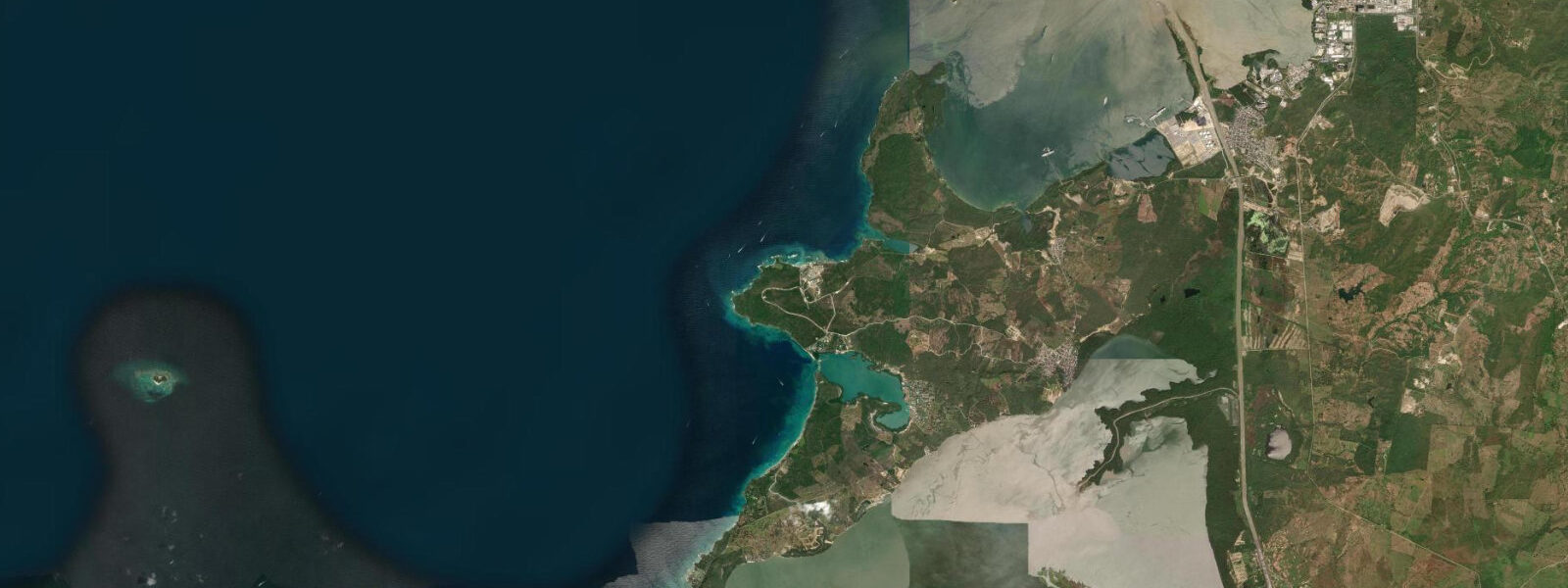
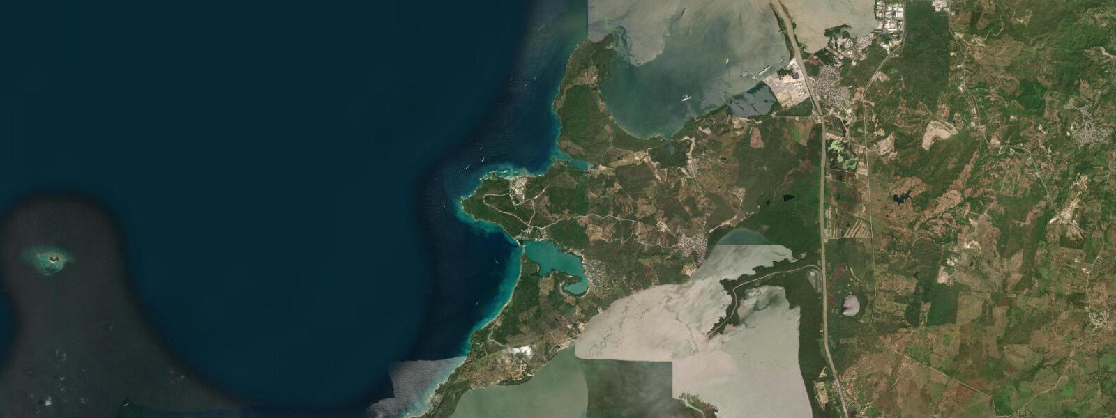
Isla Barú is a 135 km² island south of Cartagena, separated from the Colombian mainland by the Dique Canal — a navigable waterway originally dug to link Cartagena's harbour to the Magdalena River, the primary commercial artery of interior Colombia. The canal at the island's northern edge is 200 m wide, controlled, and carries real vessel traffic: river barges, supply lanchas, and the occasional cargo tug. It is not a decorative waterway. The tidal exchange through the canal runs 0.5–1.0 knots on the flood and ebb, enough to feel in a kayak and relevant to small-boat operators timing a transit.
Like all the Colombian Caribbean coast, Barú operates on a microtidal regime. Mean spring range is 0.2–0.4 m — the Caribbean tidal signal is dominated by the diurnal K1 and O1 constituents rather than the semidiurnal M2 that drives large tidal ranges on Atlantic-facing coasts. One high water and one low water per day, with the full cycle producing a water-level change of less than half a metre. The practical consequence for anyone paddling the mangrove channels on the island's eastern and interior shores: the flood window is the access window.
Mangrove forest covers the interior and eastern shores of Barú. The channels that thread through this forest are navigable by kayak or small motor boat at mid-flood to high water — roughly a 3–4 hour window centred on high tide. At low water the channel beds expose, and a 2 m kayak will ground in mud before it reaches the deeper interior sections. The mangrove system here sits inside the Parque Nacional Natural Corales del Rosario y de San Bernardo, which extends from Barú's western shore 35 km northwest to the Rosario Islands archipelago. Paddling into the mangrove channels on the flood means entering a national park habitat — there are birds, juvenile fish species using the root systems as nursery, and almost no other people.
On the northern shore of the island, the Barú fishing village operates a small fleet of motorised piraguas — traditional flat-bottomed wooden boats adapted with outboard engines. The fleet works the reef zones off the western coast and the canal edges where current concentrates bait fish around the structure. Anglers visiting from Cartagena charter these boats for day trips into the national park reef zones and to the canal mouth where snook and tarpon hold in the tidal current. The canal tidal current timing is the working variable: the piragua captains know it by feel and tide clock, not by reading a table.
The Tesoro Beach complex occupies a section of the northern shore near the village. Behind the beach a sand bar separates a shallow lagoon from the sea — a formation maintained by the balance of longshore drift and tidal exchange. The lagoon is calm enough for children to swim in and shallow enough (0.5–1.2 m at high water) that adults can stand anywhere in it. At low water the lagoon drops to 0.3–0.5 m and the sand flat at the northern end almost dries. The bar that separates the lagoon from the sea is permeable — water exchanges through it on the flood, which keeps salinity levels high and the water clear.
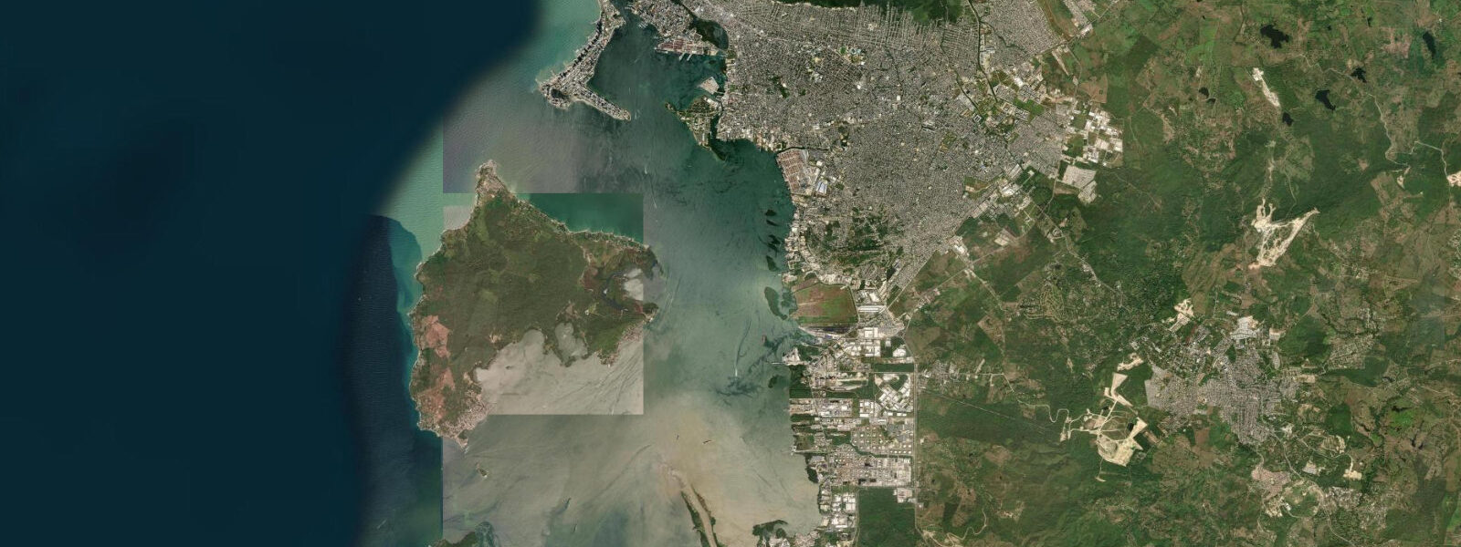
Cartagena is 45 km north by boat. The Rosario Islands are visible to the northwest from Barú's western beaches — a scatter of low green shapes on the horizon. The Dique Canal to the north is the geographic feature that made Barú an island rather than a peninsula; without it, you would drive here. With it, you take a boat from Cartagena's Muelle de la Bodeguita or charter a lancha from the Barú village dock directly.
For photographers the mangrove channels on the flood tide at golden hour are the draw: the water is dark, the light filters through the canopy, and the birds — herons, frigate birds working the canal, occasional pelicans — move without the distraction of other visitors. For families the Tesoro lagoon and the Playa Blanca beach on the southwestern shore provide the calm-water access they need. For anglers the Dique Canal mouth and the reef zones off the western coast are the productive zones, timed around the tidal exchange.
Tide data for Barú Island comes from the Open-Meteo Marine API, a gridded model product. Timing accuracy is ±45 minutes, height accuracy ±0.3 m — usable for trip planning, not for navigation.
Tide questions about Barú Island, Bolívar
Quick answers to the most common questions about tide times, range, and water access at Barú Island, Bolívar.
What is the tidal range at Barú Island and how does it affect the mangrove channels?
Barú operates on a Caribbean microtidal regime — mean spring range 0.2–0.4 m, one high and one low per day. For the mangrove channels on the eastern and interior shores that micro-range still matters: at low water the channel beds partially expose and a kayak will ground in the shallower sections before reaching the interior. The navigable window is mid-flood to high water, roughly a 3–4 hour period centred on the high. Plan your paddle entry to arrive at the channel mouth an hour before high water and you have the deepest, longest access window in the mangrove system.
What is the Dique Canal and why does it matter for visiting Barú?
The Dique Canal is a 200 m wide navigable waterway that separates Isla Barú from the Colombian mainland. It was originally dug to link Cartagena's harbour to the Magdalena River for commercial traffic. The canal is still active — river barges and supply lanchas transit it regularly. Tidal exchange through the canal runs 0.5–1.0 knots on the flood and ebb, which concentrates bait fish at the canal mouth and around structure. Anglers chartering piraguas from Barú village target snook and tarpon in the tidal current there. For visitors, the canal means Barú is boat-access only from the north.
What national park protections apply to Barú Island?
Barú's western shore and the waters extending 35 km northwest to the Rosario Islands archipelago fall within the Parque Nacional Natural Corales del Rosario y de San Bernardo. The park covers coral reef, seagrass, and mangrove habitats. Within the park boundaries, fishing is regulated, anchoring on reef is prohibited, and collection of coral or marine life is illegal. Day-trip boats from Cartagena that stop at the Rosario Islands before reaching Barú are operating inside this park zone for most of their route. Paddling the mangrove channels on the island's eastern shore puts you inside park habitat.
Where do anglers fish from Barú Island?
The Barú fishing village on the northern shore operates a small fleet of motorised piraguas — flat-bottomed wooden boats with outboard engines. The captains fish the coral reef zones off the western coast inside the national park and the Dique Canal mouth where tidal current concentrates bait and predators. Visiting anglers charter these boats for day trips. The canal mouth is the primary inshore target: snook and tarpon hold in the tidal exchange current there, particularly on the outgoing tide when current runs 0.7–1.0 knots. Reef fishing targets snapper, grouper, and barracuda over the coral structure.
What is the Tesoro Beach lagoon at Barú?
The Tesoro Beach complex on Barú's northern shore near the fishing village includes a shallow lagoon separated from the sea by a sand bar. At high water the lagoon reaches 0.5–1.2 m depth — calm, sheltered, and clear enough to see the sandy bottom throughout. At low water it drops to 0.3–0.5 m and the northern sand flat partially dries. The bar is permeable: tidal water exchanges through it on the flood, maintaining salinity and clarity. It is the calmest swimming water on the island, suitable for children, and functions as a natural infinity edge on the seaward side when viewed from the beach.
6-day tide table — Barú Island, Bolívar
Heights relative to MSL. Predictions: Open-Meteo Marine (MeteoFrance SMOC, 0.08° grid) — heights relative to MSL (not chart datum / LAT). Model-derived.
| Day | Type | Time | Height |
|---|---|---|---|
| Fri 19 Jun | Low | 10:00 | 0.0m |
| Sat 20 Jun | High | 03:15 | 0.4m |
| Low | 10:45 | 0.0m | |
| Sun 21 Jun | High | 17:50 | 0.4m |
| Mon 22 Jun | — | ||
| Tue 23 Jun | — | ||
| Wed 24 Jun | Low | 12:00 | 0.1m |
| High | 20:00 | 0.4m | |