Sanya tide times
Sanya tide forecast — heights relative to MSL.
Tide chart for Sanya
24-hour cosine-interpolated curve around the present moment. Heights relative to MSL. Predictions: Predictions: Open-Meteo Marine (MeteoFrance SMOC, 0.08° grid).
Sun, moon and conditions on Sat 27 Jun
Snapshot at build time — refreshes daily. Sea state from Open-Meteo Marine.
Highs and lows next 7 days
Every predicted high and low for the next week, with the daily tidal coefficient (0–120; higher = bigger swing, > 95 means stronger currents).
Other spots nearby
The three closest curated TideTurtle locations to Sanya, measured by great-circle distance.
Today's solunar windows
Solunar tradition: major periods are the ≈3h windows around moon transit and opposition; minor are ≈2h around moonrise and moonset. Pair with the local tide stage and wind for the best read.
About tides at Sanya
A short guide to the coastline at Sanya — geography, sea state, and what the tide is actually doing under your feet.
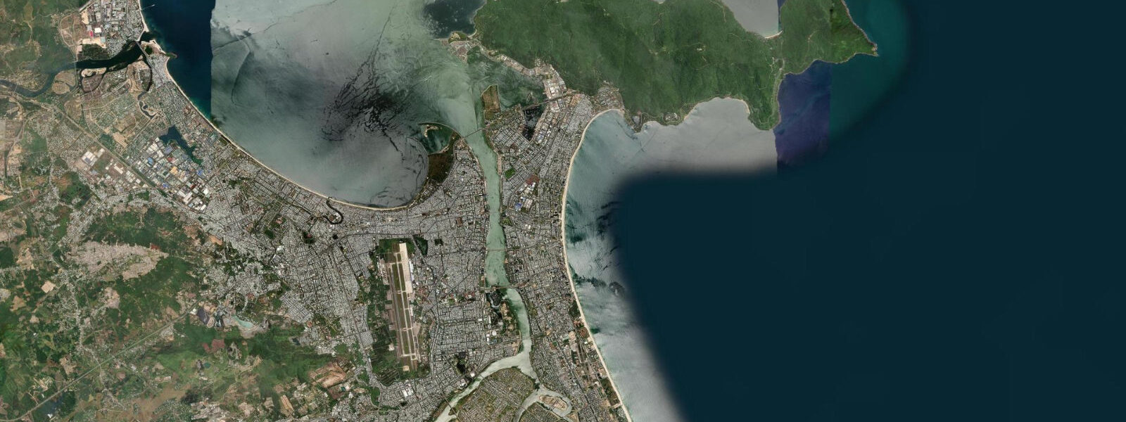
Sanya sits at the southern tip of Hainan Island, facing the South China Sea, and is the most visited coastal city in tropical China. The tidal regime is mixed diurnal-semidiurnal: on most days you get two unequal highs and two unequal lows, but during certain phases of the lunar month the pattern collapses to a single dominant high per day. Spring range is around 1.5 m between chart datum and mean high water springs. To be direct about what that means practically: 1.5 m is a modest range. The beach at Sanya Bay does not dry out dramatically at low tide, and the main driver of swimming conditions is swell and longshore current, not tidal height. The tide matters most at the reef.
At Sanya National Coral Reef Nature Reserve — centred on Luhuitou Peninsula and the waters off Xiaodonghai — low tide exposes reef flat that is impassable and harmful to walk on, while a rising tide of 0.8 m or more gives snorkellers enough water column to float clear of the coral heads without fin-kicking them. The optimal snorkel window is mid-flood to two hours past high water, when visibility is best before the ebb stirs sediment on the flat. Water temperature holds between 26 and 29°C from May through October and drops only to around 23–24°C in January and February — a full wetsuit is rarely needed.
Wuzhizhou Island, a 45-minute ferry northeast of Sanya, is the main scuba hub. Dive operators run two-tank morning trips timed to depart on the flood, which keeps the mooring lines taut and reduces current on the dive sites on the island's north face. The sites range from 6 m to 30 m. Visibility averages 8–15 m in the dry season (November through April) and can fall to 3–5 m after heavy rain or a typhoon pass.
Tianya Haijiao — End of the Earth — is a scenic headland on Sanya Bay's western arm, known for its granite boulders. The boulders are photogenic at any state of tide, but the foreground rock pools are most interesting on a dropping tide from about 1.5 hours after high: the pools fill with small fish, hermit crabs, and occasional octopus. Sunset photographers favour the last two hours of the ebb, when the boulders are partly surrounded by receding water.
For anglers, the rocky headlands around Luhuitou and the Haitang Bay jetties are most productive on the last two hours of the ebb and first two of the flood — the standard tide-change feeding window that holds across tropical species. Grey mullet, needlefish, and snapper are the common targets. The inner bays have a small squid-jigging scene after dark around the pier lights, which runs independent of tide phase.
Typhoon season runs July through October. During a direct strike or close pass, storm surge can add 1.0–2.0 m above predicted tide levels, and wave run-up on the beach faces can extend well above the normal high-water line. All tide predictions become unreliable during and immediately after a typhoon; the National Marine Forecasting Centre (nmc.cn) issues surge warnings that should take priority over any tide chart. After a storm, reef visibility degrades for 5–10 days as sediment settles.
Sanya is one of three places in the world to see humpback whales reliably in winter (January–March) in a tropical setting. Whale-watching boats operate from the Sanya Yacht Club marina on a flood-tide departure schedule. The whales are not tidal, but the boats prefer departing on a calm flood to give a stable 3-hour window offshore.
Families and resort swimmers: the beach at Dadonghai is the most sheltered and has lifeguard cover. The bottom gradient is gentle — at low water springs, the 1 m depth contour is roughly 40 m from the waterline, so small children have a wide shallow zone at all tide states. Yalong Bay has slightly stronger longshore drift and is better suited to confident swimmers.
Tidal predictions here use the Open-Meteo Marine gridded model (±45 minutes on timing, ±0.3 m on height). Not for navigation.
Tide questions about Sanya
Quick answers to the most common questions about tide times, range, and water access at Sanya.
What is the best tide for snorkelling the Sanya coral reef?
Aim for the mid-flood to two hours after high water. At low tide the reef flat at Luhuitou is too shallow to snorkel without damaging coral — you need at least 0.8 m of water over the flat. The flood tide also brings cleaner offshore water, improving visibility. Avoid the early ebb, when disturbed sediment clouds the shallower sections. Spring high water in Sanya reaches around 1.5 m above chart datum, giving you a comfortable window of roughly 3–4 hours around high to work the reef properly.
Does the tidal range at Sanya affect beach swimming?
Only modestly. With a spring range of around 1.5 m, the beach face at Sanya Bay and Dadonghai shifts by 20–40 m horizontally between low and high water — noticeable but not dramatic. The main variables controlling swimming safety are swell height and longshore current, not tide. The exception is immediately after a typhoon, when storm surge can push water significantly above the predicted high-water line. On those occasions, all coastal activity should stop until the National Marine Forecasting Centre declares conditions safe. In normal conditions, all tide states are swimmable on the main beaches.
When is typhoon season and how does it affect tides?
Typhoon season runs July through October. A nearby storm adds storm surge — typically 0.5–1.5 m above predicted tide levels for a track that passes within 100 km of Sanya, and up to 2.0 m or more for a direct landfall scenario. This makes the standard tide prediction unreliable. The National Marine Forecasting Centre (nmc.cn) issues surge forecasts during active typhoon threats. Always check those warnings before any coastal activity during the season, and treat tide chart predictions as baseline-only until the storm has passed and surge has dissipated.
What is the water temperature at Sanya year-round?
Sea surface temperature at Sanya ranges from around 23°C in January and February to 29°C at the August peak. The water is warm enough for extended snorkelling without a wetsuit from April through November. A 3 mm shorty is comfortable for early-morning dives in January and February, when the water is at its coolest. Visibility at reef sites is best from November through April, during the dry northeast monsoon. Post-typhoon turbidity can persist for one to two weeks regardless of season.
Is Wuzhizhou Island accessible at all tides?
Yes — the ferry from Haitang Bay operates on a fixed schedule regardless of tide state, and the island's jetty has sufficient depth at all tide states for the passenger ferries. The dive sites on the island's north face do experience some current variation with the tide, with the flood tide generally preferred for reduced current on the main reef walls. Dive operators time their departures accordingly. The island closes to visitors during typhoon warnings and heavy-weather advisories; check current status with the ferry operator before booking.
8-day tide table — Sanya
Heights relative to MSL. Predictions: Open-Meteo Marine (MeteoFrance SMOC, 0.08° grid) — heights relative to MSL (not chart datum / LAT). Model-derived.
| Day | Type | Time | Height |
|---|---|---|---|
| Sat 27 Jun | — | ||
| Sun 28 Jun | — | ||
| Mon 29 Jun | High | 09:03 | 1.4m |
| Low | 18:07 | -0.1m | |
| Tue 30 Jun | High | 09:43 | 1.4m |
| Low | 18:40 | -0.1m | |
| Wed 01 Jul | — | ||
| Thu 02 Jul | High | 11:03 | 1.5m |
| Low | 19:50 | -0.0m | |
| Fri 03 Jul | High | 11:43 | 1.5m |
| Low | 20:16 | 0.0m | |
| Sat 04 Jul | High | 07:00 | 0.8m |