Zhangzhou tide times
Zhangzhou tide forecast — heights relative to MSL.
Today's tide times for Zhangzhou
Tide times at Zhangzhou on Saturday, 27 June 2026: first low tide at 08:00am, first high tide at 11:18pm. Sunrise 05:23am, sunset 07:01pm.
Tide chart for Zhangzhou
24-hour cosine-interpolated curve around the present moment. Heights relative to MSL. Predictions: Predictions: Open-Meteo Marine (MeteoFrance SMOC, 0.08° grid).
Sun, moon and conditions on Sat 27 Jun
Snapshot at build time — refreshes daily. Sea state from Open-Meteo Marine.
Highs and lows next 7 days
Every predicted high and low for the next week, with the daily tidal coefficient (0–120; higher = bigger swing, > 95 means stronger currents).
Other spots nearby
The three closest curated TideTurtle locations to Zhangzhou, measured by great-circle distance.
Today's solunar windows
Solunar tradition: major periods are the ≈3h windows around moon transit and opposition; minor are ≈2h around moonrise and moonset. Pair with the local tide stage and wind for the best read.
Cycle dates near Zhangzhou
Next spring tide on Fri 03 Jul (range 3.5m). Last neap on Sat 27 Jun. Next neap on Thu 02 Jul.
Spring tides cluster around new and full moons (biggest swings). Neap tides land on quarter moons (smallest swings). See the spring tide and neap tide glossary entries for the why.
About tides at Zhangzhou
A short guide to the coastline at Zhangzhou — geography, sea state, and what the tide is actually doing under your feet.
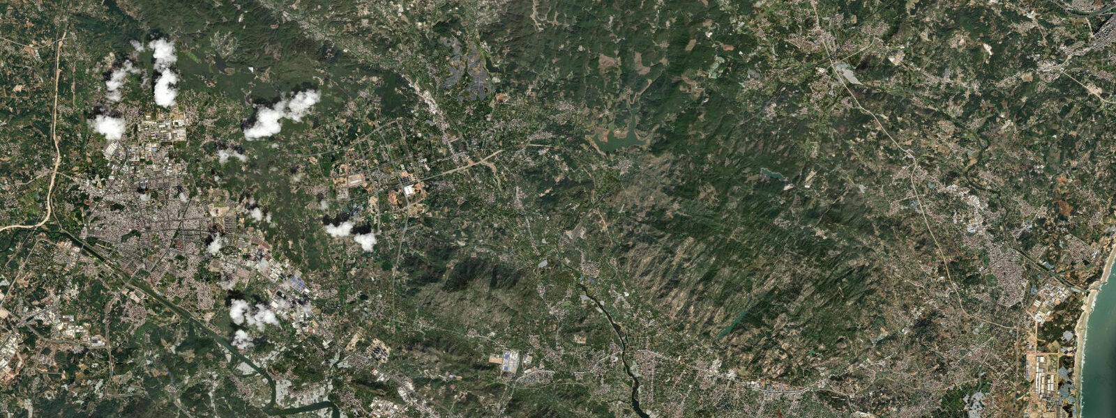
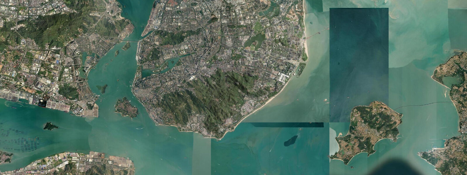
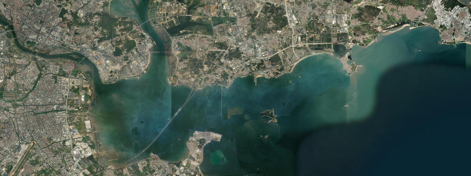
Zhangzhou occupies the southern end of Fujian's coastal arc, where the Jiulong River meets the Taiwan Strait and the coastline fragments into peninsulas and islands before merging with Guangdong province. Spring tidal range here is approximately 3.8 m above MLLW, making it the smallest range among Fujian's major coastal centres but still sufficient to expose several hundred metres of intertidal flat on a spring ebb. The tidal pattern is semidiurnal with moderate diurnal inequality.
The Gulei Peninsula, south of Zhangzhou city, is home to one of Fujian's most extensive mangrove reserves. The Zhangjiang Estuary Mangrove Nature Reserve protects around 2,300 hectares of tidal mangrove forest, intertidal mudflat, and seagrass bed. At low water the root systems of Kandelia candel and Aegiceras corniculatum are exposed across the flat, forming a dense pneumatophore zone that traps sediment and supports a complex invertebrate community — fiddler crabs in their thousands, mud skippers, and the base of a food web that supports egrets, herons, and migratory waders.
Oyster farming on tidal stakes is the dominant visual feature of the Zhangzhou intertidal zone outside the nature reserve. The technique here uses vertical stakes driven into the substrate at mid-tide level, with oyster clusters attached at intervals along the stake. At high water the stake disappears; at low water it stands clear of the mud by 1–2 m with the oyster clusters hanging exposed. This stake method requires no boats for harvest — workers walk onto the flat at low water and strip the clusters by hand. The Zhangzhou oyster is sold throughout Fujian and exported, and the tidal flat farms are a working industrial system that also functions as de facto bird habitat — egrets and kingfishers use the stakes as hunting perches at low water.
Dragon-boat racing in Zhangzhou is not confined to the Dragon Boat Festival: the sport is practiced year-round on the tidal rivers and estuaries, and serious clubs train on tidal windows. The Jiulong River estuary provides a long, relatively sheltered course, and race timing is set around high water when the flat is submerged and current is at its weakest in the lower river. During the run-out tide, the estuary current adds 0.5–1 knot to downstream splits and slows upstream returns — race organisers plan heats and finals accordingly.
Clam digging at low tide is embedded in Zhangzhou community life in a way that is visible to any visitor who arrives at the coast at the right stage of the tide. On spring low waters, dozens of locals — most of them older women working with short rakes and plastic buckets — spread across the flat within half an hour of low water. The primary target is the short-necked clam (Ruditapes philippinarum), which lives in the upper 5 cm of clean sand at mid-tide level and is harvested by raking in rows. The harvest is done in under 2 hours, from low water until the incoming tide reaches knee height. Zhangzhou clams are consumed locally, mostly steamed with garlic and rice wine.
The Jiuzhi Peninsula on Zhangzhou's southern coast has granite headlands that shelter small coves where the tidal range is compressed by the topography. These coves hold rockpools at low water with sea urchins, octopus, and small reef fish. Access to the peninsula is by local road from Gulei town; the coastal track is unpaved beyond the main fishing settlement. The fishing boats here are small open launches that work the kelp and fish farms anchored in the sheltered inshore waters.
Photography of the oyster stakes at low water is best done in the 45-minute window around low water on a spring tide, when the stakes stand clear and the light from the east (morning) or west (late afternoon) catches the textured surface of the oyster clusters. The flat reflects in the shallow remaining water between the stake rows.
Tidal predictions here use the Open-Meteo Marine gridded model (±45 minutes on timing, ±0.3 m on height). Not for navigation.
Tide questions about Zhangzhou
Quick answers to the most common questions about tide times, range, and water access at Zhangzhou.
What is the tidal range at Zhangzhou and how does it compare to other Fujian ports?
Spring tidal range at Zhangzhou is approximately 3.8 m above MLLW, making it the smallest of the three main Fujian coastal centres. Quanzhou to the north reaches around 5.0 m, Xiamen sits at about 4.5 m, and Zhangzhou's more sheltered position south of the main strait narrows the range. The tidal pattern is semidiurnal with moderate diurnal inequality. The 3.8 m spring range is still substantial enough to expose several hundred metres of productive intertidal flat on a low spring tide.
What is the Zhangjiang Mangrove Nature Reserve?
The Zhangjiang Estuary Mangrove Nature Reserve on the Gulei Peninsula protects approximately 2,300 hectares of tidal mangrove forest, intertidal mudflat, and seagrass bed — one of the largest mangrove reserves in Fujian province. The reserve holds national nature reserve status and is a Ramsar Wetland of International Importance. The dominant mangrove species are Kandelia candel and Aegiceras corniculatum. The reserve supports migratory waterbirds on the East Asian–Australasian Flyway, along with resident herons, egrets, and kingfishers that hunt the shallow tidal channels on the incoming and outgoing water.
When and where can I watch clam digging in Zhangzhou?
Clam digging is most visible on spring low tides, when the flat drops to its full extent and provides the widest working area. The most accessible clam flats are along the Jiulong River estuary south of Zhangzhou city and on the tidal flats around Gulei town. Arrive at the seawall about 1 hour before predicted low water — harvesters typically walk out as soon as the flat is knee-deep or less. The harvest window is roughly 90 minutes around low water. This is a working livelihood activity, not a performance; maintain a respectful distance and ask before photographing individuals.
How does dragon-boat racing use the tidal cycle in Zhangzhou?
Zhangzhou's dragon-boat clubs train year-round on the Jiulong River estuary and its tidal tributaries. The tidal current on the lower river runs at 0.5–1 knot on spring tides, which is significant for racing splits over a 500 m course. Race events are scheduled around high water or early flood, when the current is weakest and the flat is submerged, providing a clean racing lane without shallow patches. Downstream heats during the ebb run faster than upstream heats by a measurable margin, so major races typically use a closed-circuit course rather than a simple out-and-back route.
What is the oyster stake farming method used on the Zhangzhou tidal flats?
The stake method used at Zhangzhou involves driving vertical wooden or bamboo poles into the intertidal substrate at mid-tide level. Oyster seed is attached to the stakes in clusters or hung on lines at intervals. The stakes are submerged at high water and fully exposed at low water, allowing natural tidal flushing to deliver nutrients and oxygenate the water around the oyster. Harvest is done on foot at low water, without boats. The technique is well-adapted to the moderate spring range at Zhangzhou, which provides consistent emersion and submersion on each tidal cycle.
8-day tide table — Zhangzhou
Heights relative to MSL. Predictions: Open-Meteo Marine (MeteoFrance SMOC, 0.08° grid) — heights relative to MSL (not chart datum / LAT). Model-derived.
| Day | Type | Time | Height |
|---|---|---|---|
| Sat 27 Jun | Low | 08:00 | 1.1m |
| High | 23:18 | 1.7m | |
| Sun 28 Jun | Low | 05:01 | -0.1m |
| High | 10:36 | 1.5m | |
| Low | 17:11 | -1.3m | |
| Mon 29 Jun | High | 00:02 | 1.7m |
| Low | 05:43 | -0.2m | |
| High | 11:18 | 1.5m | |
| Low | 17:51 | -1.5m | |
| Tue 30 Jun | High | 00:36 | 1.7m |
| Low | 06:16 | -0.2m | |
| High | 11:55 | 1.5m | |
| Low | 18:23 | -1.6m | |
| Wed 01 Jul | High | 01:11 | 1.8m |
| Low | 06:50 | -0.3m | |
| High | 12:31 | 1.6m | |
| Low | 18:59 | -1.6m | |
| Thu 02 Jul | High | 01:45 | 1.8m |
| Low | 07:20 | -0.3m | |
| Fri 03 Jul | High | 02:15 | 1.8m |
| Low | 07:53 | -0.4m | |
| High | 13:45 | 1.6m | |
| Low | 20:03 | -1.6m | |
| Sat 04 Jul | High | 02:49 | 1.9m |
| Low | 07:00 | -0.1m |