Viña del Mar, Valparaíso Region tide times
Viña del Mar, Valparaíso Region tide forecast — heights relative to MSL.
Today's tide times for Viña del Mar, Valparaíso Region
Tide times at Viña del Mar, Valparaíso Region on Friday, 19 June 2026: first high tide at 01:06, first low tide at 06:38, second high tide at 13:14, second low tide at 20:06. Sunrise 07:48, sunset 17:46.
Tide chart for Viña del Mar, Valparaíso Region
24-hour cosine-interpolated curve around the present moment. Heights relative to MSL. Predictions: Predictions: Open-Meteo Marine (MeteoFrance SMOC, 0.08° grid).
Sun, moon and conditions on Fri 19 Jun
Snapshot at build time — refreshes daily. Sea state from Open-Meteo Marine.
Highs and lows next 7 days
Every predicted high and low for the next week, with the daily tidal coefficient (0–120; higher = bigger swing, > 95 means stronger currents).
Other spots nearby
The three closest curated TideTurtle locations to Viña del Mar, Valparaíso Region, measured by great-circle distance.
Today's solunar windows
Solunar tradition: major periods are the ≈3h windows around moon transit and opposition; minor are ≈2h around moonrise and moonset. Pair with the local tide stage and wind for the best read.
Cycle dates near Viña del Mar, Valparaíso Region
Next spring tide on Fri 19 Jun (range 1.3m). Next neap on Mon 22 Jun.
Spring tides cluster around new and full moons (biggest swings). Neap tides land on quarter moons (smallest swings). See the spring tide and neap tide glossary entries for the why.
About tides at Viña del Mar, Valparaíso Region
A short guide to the coastline at Viña del Mar, Valparaíso Region — geography, sea state, and what the tide is actually doing under your feet.
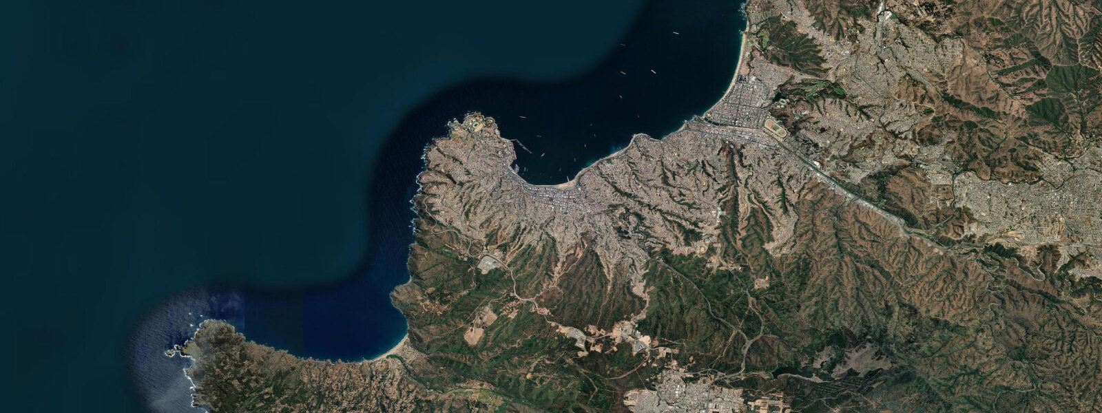
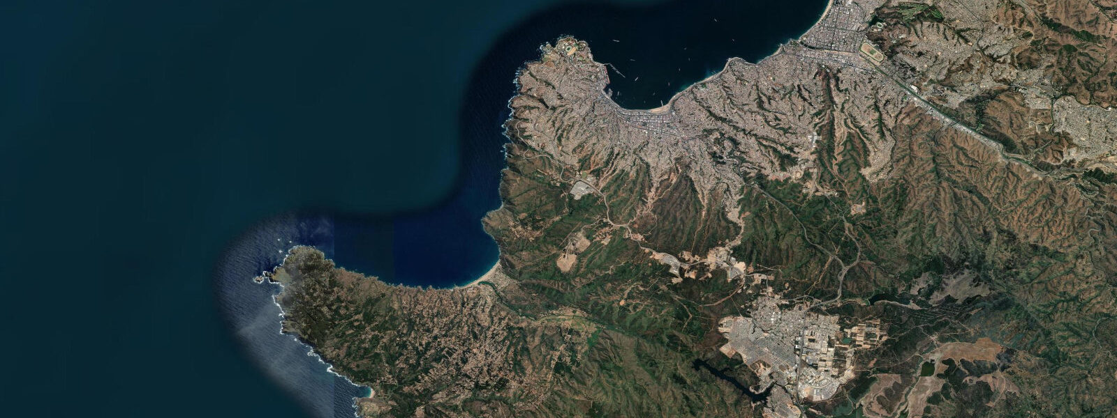
Viña del Mar runs along Chile's Pacific coast immediately north of Valparaíso, 120 km northwest of Santiago. The 2 km arc of Playa de Viña del Mar faces west into the open Pacific, backed by the resort city's seafront avenue and the cliff-top gardens that made this place Chile's premier beach destination through the 20th century. The Humboldt Current keeps the water at 14–17°C year-round — cold enough to discourage swimming for most of the year, but consistent enough that the beach infrastructure runs 12 months.
The tide here is semidiurnal with a mean spring range of 1.2–1.8 m — significantly larger than the Peruvian coast to the north, where the same Humboldt Current influences but the continental shelf geometry produces smaller ranges. At Viña del Mar, high spring water reaches approximately 1.6 m above chart datum and low water drops to around 0.0–0.1 m. That range is enough to make a visible difference on the beach: at low water, a broad wet-sand platform extends 30–40 m beyond the typical wet-line, and the rock ledges at the north end of the beach below the casino terrace are fully exposed. At high spring water, the beach narrows noticeably, and the Estero Marga Marga — the stream that bisects Viña del Mar and meets the sea at the south end of the beach — backs up at the mouth.
The Estero Marga Marga estuary interaction is the single most tide-sensitive feature of Viña del Mar beach. At high spring water, the estuary mouth backs up as the rising sea level reduces the hydraulic gradient that lets the stream discharge. The last 200 m of beach south of the stream mouth floods intermittently under these conditions — the flat low-lying sand at the estuary mouth goes from dry to ankle-deep within 30–45 minutes as a spring high approaches. Families who set up in that section without checking the tide table find themselves moving gear. The flooding drains quickly once the tide turns, but the 90 minutes around high spring water make that zone unusable.
On the cliff above the southern end of the beach, the Reloj de Flores sits on Avenida Marina — a large floral clock with a functioning clock mechanism set into a hillside of planted flowers maintained by the city. It is the most photographed landmark in Viña del Mar; the view down from the clock position takes in the full arc of Playa de Viña del Mar and, to the south, the hillside neighbourhoods (Cerros) of Valparaíso 4 km away, recognisable by the dense grid of coloured houses climbing the slopes. The Casino Municipal de Viña del Mar, built in 1930 and restored repeatedly since, faces the northern end of the beach — its neoclassical facade is visible from most of the beach at low tide when the full beach width is exposed.
For shore fishing, the rocky breakwaters at the north end of the beach are the primary platform. The target species is robalo (Eleginops maclovinus), a cold-water bass-like fish that moves against the rocks on the incoming tide. The two hours before high spring water produce the best conditions — the current running over the submerged breakwater face concentrates bait fish, and robalo follow. Fishing is best in the austral autumn and winter (April–August) when water temperatures cool slightly and robalo feeding activity increases. The breakwater is accessible at all states of the tide, but low-water sessions on the outer rocks require careful footing on weed-covered surfaces.
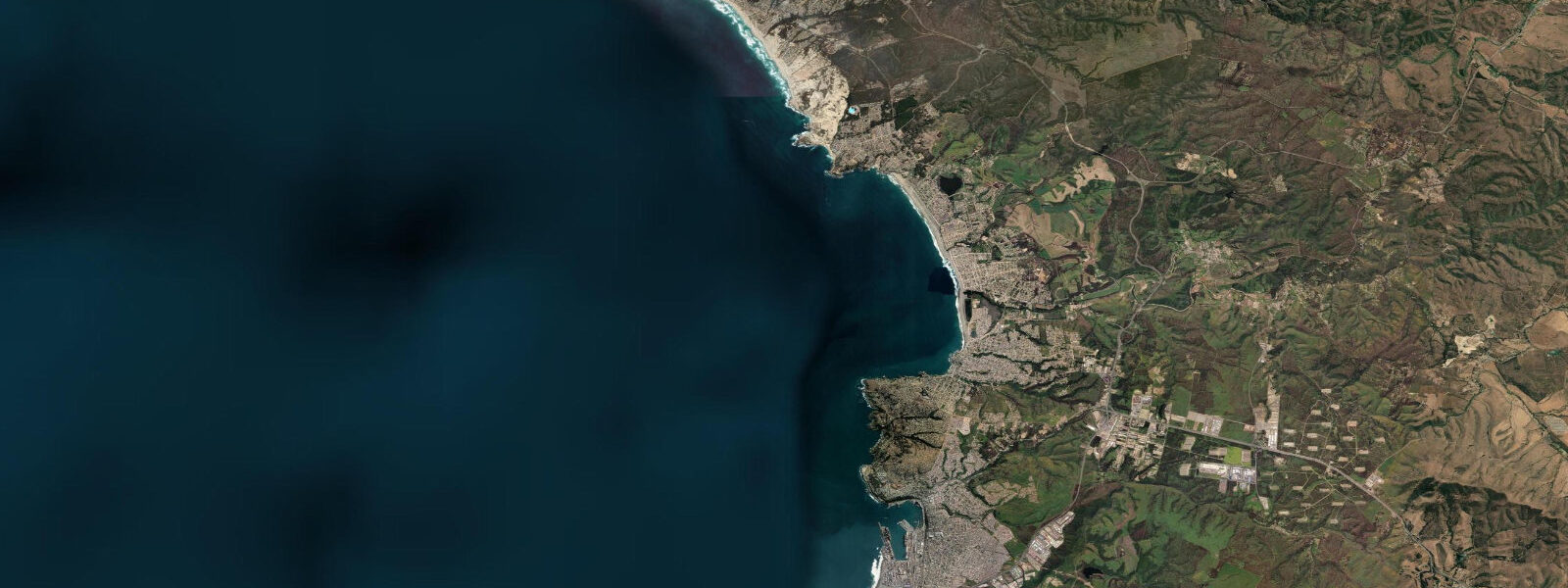
Playa Reñaca, 5 km north of Viña del Mar's main beach, is a separate arc of sand with a steeper beach profile and a different social character — younger crowd, more activity infrastructure, a surf break that works on south swell. The walk from the northern end of Playa de Viña del Mar to Reñaca along the coast road takes approximately 25 minutes. The tidal conditions at Reñaca mirror Viña del Mar given the short distance, but the steeper profile means high spring water reaches the base of the promenade wall — there is effectively no beach at the top of a large spring tide at Reñaca.
For photographers, the late afternoon light on the Cerros of Valparaíso from the Viña del Mar beachfront is a reliable shot: the sun drops northwest and side-lights the hill facades, then goes orange at the horizon over open water. The Reloj de Flores catches direct afternoon light from around 15:00 in summer. Low tide in the afternoon exposes the full rock ledge below the Casino, where sea birds roost and the rock pool detail is accessible.
Tide data for Viña del Mar, Valparaíso Region comes from the Open-Meteo Marine API, a gridded model product. Timing accuracy is ±45 minutes, height accuracy ±0.3 m — usable for trip planning, not for navigation.
Tide questions about Viña del Mar, Valparaíso Region
Quick answers to the most common questions about tide times, range, and water access at Viña del Mar, Valparaíso Region.
Does the Estero Marga Marga flood the beach at high tide in Viña del Mar?
At high spring water, the Estero Marga Marga estuary mouth backs up as rising sea level reduces the stream's ability to discharge. The last 200 m of beach south of the stream mouth floods intermittently — ankle-deep water covers the flat low-lying sand within 30–45 minutes of a spring high water. The spring tidal range at Viña del Mar is 1.2–1.8 m, and the estuary-mouth flooding occurs at the upper end of that range. The water drains quickly once the tide turns, but the 90 minutes around a spring high make that section of beach unusable. Families should check the tide table and avoid setting up south of the stream mouth on days when high water is predicted above 1.4 m.
What is the tidal range at Viña del Mar and how does it compare to the rest of the Chilean coast?
The mean spring tidal range at Viña del Mar is 1.2–1.8 m, with high spring water reaching approximately 1.6 m above chart datum. This is larger than the Peruvian coast to the north (0.5–1.0 m range) due to differences in continental shelf geometry between the two countries' Pacific coastlines. Further south in Chile, tidal ranges increase substantially — Chiloé Island sees 4–6 m ranges and Patagonian channels can exceed 8 m. Viña del Mar's range is moderate: enough to expose rock ledges and shift the beach waterline by 30–40 m between low and high water, but not large enough to create significant navigation constraints for small recreational vessels.
When is the best time to fish from the breakwaters at Viña del Mar?
Shore fishing from the north-end breakwaters targets robalo (Eleginops maclovinus) on the incoming tide, specifically the two hours before high spring water when current over the breakwater face concentrates bait fish. The austral autumn and winter months (April–August) produce the most consistent results as water temperatures drop slightly from their summer high of 17°C toward 14°C, increasing robalo feeding activity. The breakwater rocks are accessible at all tide states, but low-water access to the outer sections involves weed-covered rock surfaces — footwear with grip is essential. The tidal height predictions on tideturtle.com (±0.3 m accuracy) are sufficient to time the incoming window.
Is the water at Viña del Mar warm enough to swim?
The Humboldt Current keeps sea surface temperatures at Viña del Mar between 14°C and 17°C year-round. The warmest readings occur in late summer (February–March) when the current's upwelling effect is slightly reduced; the coldest occur during austral winter (July–August) when a strong upwelling pulse can push surface temperatures to 13°C. For most people accustomed to Mediterranean or tropical water, 14–17°C is uncomfortably cold for extended swimming. Chileans adapted to the coast swim here regularly, particularly in summer. Wetsuits make the water comfortable for surfing, kayaking, and snorkelling year-round. The cold water is also what keeps the marine ecosystem productive — the Humboldt Current drives one of the world's richest fisheries.
How far is Playa Reñaca from Viña del Mar and how are the tide conditions different?
Playa Reñaca is 5 km north of the main Viña del Mar beach — a 25-minute walk along the coast road from the northern end of Playa de Viña del Mar. Tidal conditions mirror Viña del Mar given the short distance; the mean spring range is the same 1.2–1.8 m. The key difference is beach profile: Reñaca has a steeper gradient, which means high spring water reaches the base of the promenade wall and essentially eliminates the beach at the top of a large spring tide. At low water, the beach widens substantially and a surf break runs on south swell. Check the tide table before planning a full day at Reñaca — low to mid-tide provides the best beach area.
7-day tide table — Viña del Mar, Valparaíso Region
Heights relative to MSL. Predictions: Open-Meteo Marine (MeteoFrance SMOC, 0.08° grid) — heights relative to MSL (not chart datum / LAT). Model-derived.
| Day | Type | Time | Height |
|---|---|---|---|
| Fri 19 Jun | High | 01:06 | 0.3m |
| Low | 06:38 | -0.5m | |
| High | 13:14 | 0.8m | |
| Low | 20:06 | -0.6m | |
| Sat 20 Jun | High | 02:05 | 0.3m |
| Low | 07:35 | -0.4m | |
| High | 14:02 | 0.7m | |
| Low | 20:55 | -0.6m | |
| Sun 21 Jun | High | 03:02 | 0.3m |
| Low | 08:48 | -0.4m | |
| High | 14:55 | 0.5m | |
| Low | 21:45 | -0.6m | |
| Mon 22 Jun | High | 04:06 | 0.3m |
| Low | 10:00 | -0.3m | |
| Tue 23 Jun | High | 05:06 | 0.4m |
| Low | 11:15 | -0.3m | |
| High | 17:00 | 0.2m | |
| Low | 23:16 | -0.4m | |
| Wed 24 Jun | High | 06:03 | 0.4m |
| Thu 25 Jun | Low | 00:04 | -0.4m |
| High | 06:54 | 0.5m | |
| Low | 13:36 | -0.3m | |
| High | 19:00 | 0.1m |