Puerto Montt tide times
Puerto Montt tide forecast — heights relative to MSL.
Today's tide times for Puerto Montt
Tide times at Puerto Montt on Sunday, 21 June 2026: first low tide at 00:08, first high tide at 06:21, second low tide at 12:28, second high tide at 18:37. Sunrise 08:18, sunset 17:28.
Tide chart for Puerto Montt
24-hour cosine-interpolated curve around the present moment. Heights relative to MSL. Predictions: Predictions: Open-Meteo Marine (MeteoFrance SMOC, 0.08° grid).
Sun, moon and conditions on Sun 21 Jun
Snapshot at build time — refreshes daily. Sea state from Open-Meteo Marine.
Highs and lows next 7 days
Every predicted high and low for the next week, with the daily tidal coefficient (0–120; higher = bigger swing, > 95 means stronger currents).
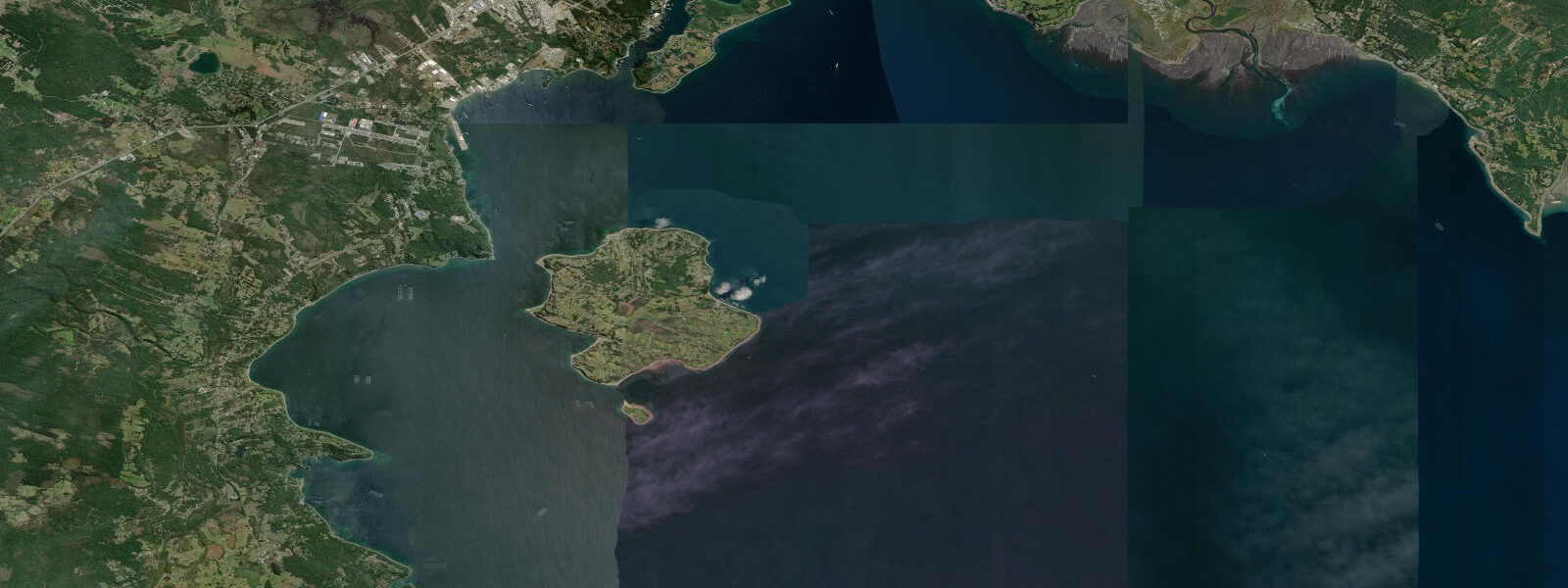
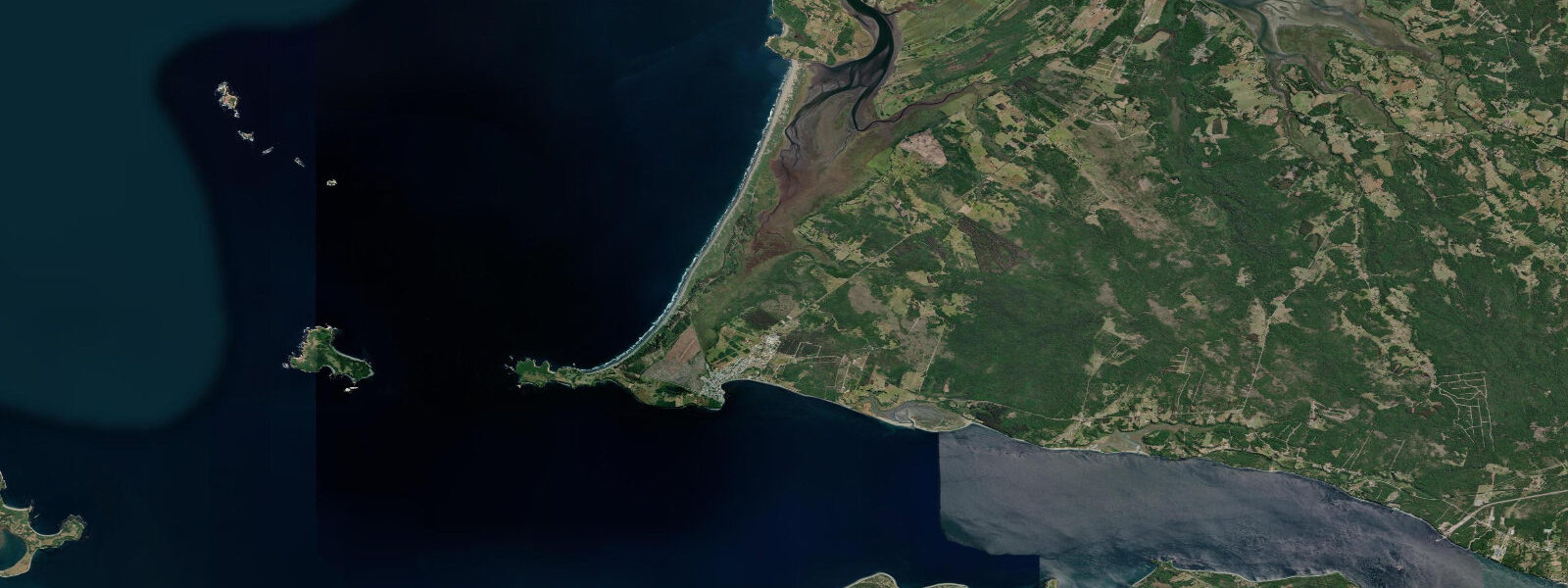
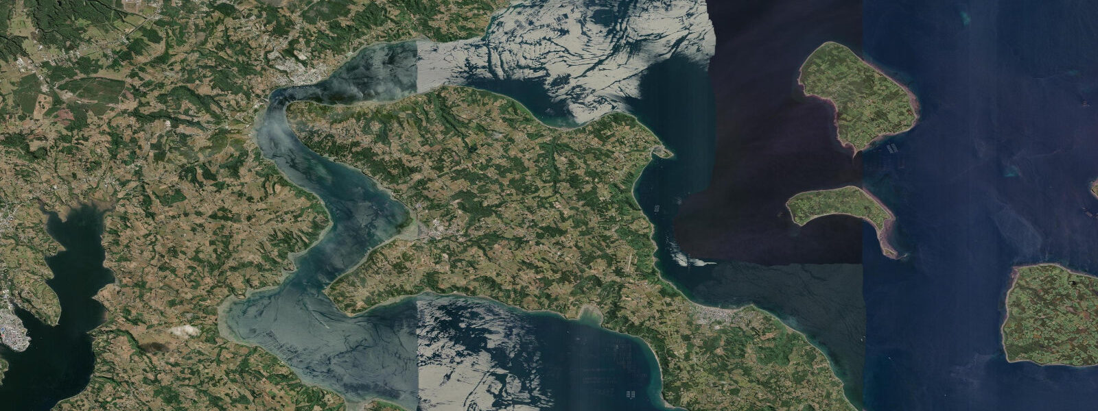
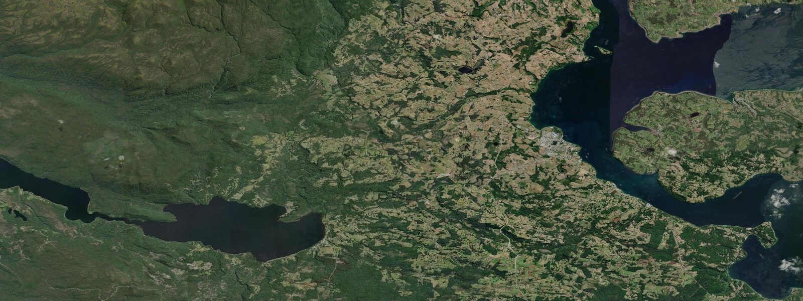
Other spots nearby
The three closest curated TideTurtle locations to Puerto Montt, measured by great-circle distance.
Today's solunar windows
Solunar tradition: major periods are the ≈3h windows around moon transit and opposition; minor are ≈2h around moonrise and moonset. Pair with the local tide stage and wind for the best read.
Cycle dates near Puerto Montt
Last spring tide on Sat 20 Jun (range 3.6m). Next spring tide on Fri 26 Jun (range 3.7m). Next neap on Tue 23 Jun.
Spring tides cluster around new and full moons (biggest swings). Neap tides land on quarter moons (smallest swings). See the spring tide and neap tide glossary entries for the why.
About tides at Puerto Montt
A short guide to the coastline at Puerto Montt — geography, sea state, and what the tide is actually doing under your feet.
Puerto Montt is the capital of Los Lagos Region and the gateway to Chilean Patagonia, located at the eastern end of the Reloncaví Estuary (Seno Reloncaví) where the estuary narrows to its head. The city sits at the junction of continental Chile and island Chile: the mainland ends here, the Carretera Austral begins, and Chiloé Island faces across the Chacao Channel 60 km to the southwest. The waterfront of Puerto Montt is dominated by the Angelmó fishing market — one of the most animated fish markets in the south of Chile, where fresh mariscos (shellfish) and pescados from the surrounding channels are traded daily.
The tidal regime at Puerto Montt is macrotidal semidiurnal. Spring range at Puerto Montt reaches 5.0–6.5 m above Chart Datum, driven by the Reloncaví Estuary's funnel geometry concentrating the tidal prism as the estuary narrows toward the city. Two nearly equal highs and two nearly equal lows occur each day; the range varies from roughly 2.5–3.0 m at neap to 6.0–6.5 m at spring. At spring low water the Angelmó waterfront exposes a wide mudflat; the fishing boats moored on the outer side of the market dock rest partially on the mud. At high water the mudflat is submerged and small boats can navigate alongside the market building.
The Angelmó market's geography is entirely structured around the tide. The covered fish and shellfish stalls operate at all hours, but the fish landing — when the small vessels come in from overnight or day trips — happens in the two hours around high water when depth alongside the unloading dock is greatest. Salmon farms visible from the waterfront in the Reloncaví channel use the tidal current to oxygenate the net pens; the farm placement is optimised for the tidal current regime.
For visitors, Puerto Montt is the embarkation point for the four-day Navimag ferry to Puerto Natales through the inland channels of the Patagonian coast — a journey through fjords, canals, and channels where tidal currents and navigation require professional pilotage. Day trips from Puerto Montt to Isla Tenglo (the island immediately opposite the port) or to the Chinquihue marina are possible by local water taxi.
Kayaking from the Chinquihue marina on the western edge of the city is practical at all tide states in the main channel, but approach to the shallower inner bays and the beaches on the Tenglo Island east shore is better at high water when depth is sufficient. Tidal current in the main Puerto Montt channel runs 0.5–1.5 knots at springs; kayakers paddling toward the Maullín River mouth to the south should plan the outbound leg on the ebb and return on the flood. SHOA (Servicio Hidrográfico y Oceanográfico de la Armada de Chile) publishes Chilean tide tables; Puerto Montt is a primary reference station. Predictions here: Open-Meteo Marine, ±45 min / ±0.2–0.3 m.
The city's culinary identity is centred on mariscos — shellfish from the surrounding channels and farms. Curanto is the traditional Chiloé-origin dish: a combination of shellfish, potatoes, and smoked meats cooked in a pit or in a large pot; it is sold in the Angelmó restaurants from lunch onward. The market stalls closest to the fish landing offer the best-priced fresh shellfish in any condition of tide; the quality peaks in the two hours after the boats land at high water. Smoked salmon, smoked mussels, and dried sea urchin (erizo) products are also available.
The Puerto Montt bus terminal (Terminal de Buses) connects the city to Santiago (12–14 hours), Valparaíso, and all intermediate Pacific coast cities; it is one of the main transport nodes in Chilean Patagonia. For visitors using Puerto Montt as the starting point for the Carretera Austral south, the Chaitén ferry departs from the Puerto Montt harbour area (Caleta de Embarcaciones) on a schedule tied to tidal access at the Chaitén landing ramp. This represents another practical link between the tide table and the transport logistics of the Los Lagos Region.
Tide questions about Puerto Montt
Quick answers to the most common questions about tide times, range, and water access at Puerto Montt.
What is the tidal range at Puerto Montt, and how does it affect the Angelmó waterfront?
Spring range at Puerto Montt is 5.0–6.5 m above Chart Datum. At spring low water the Angelmó waterfront mudflat is exposed by 80–150 m from the market building; fishing vessels moored alongside rest on or near the mud. At spring high water, the mud is fully covered and boats float freely alongside. The market itself operates at all tides, but the peak activity — fish landings from incoming boats — concentrates in the two hours around high water when depth alongside the unloading dock is greatest. Check the high-water time on this page before planning a market visit. The SHOA Puerto Montt gauge is designated as a primary reference station in the international tide gauge network.
Where do the tide predictions on this page come from?
Open-Meteo Marine, a free gridded global ocean model. Accuracy is typically ±45 minutes on timing and ±0.2–0.3 m on height. SHOA (Servicio Hidrográfico y Oceanográfico de la Armada de Chile) operates the primary reference tide gauge at Puerto Montt and publishes official Chilean tide tables; Puerto Montt is one of the most important SHOA gauge stations in Los Lagos Region. For navigation in the Reloncaví Estuary and connecting channels, use SHOA tide tables. This page is not for navigation. SHOA publishes both tide height tables and tidal current tables for the Los Lagos Region; the current tables are specifically useful for Chacao Channel transits.
Is kayaking practical in the Puerto Montt area?
Kayaking from Chinquihue marina on the western edge of the city is practical at all tide states in the main channel, with a spring tidal current of 0.5–1.5 knots. The inner bays and the beaches on the Tenglo Island east shore are most accessible at high water when depth is sufficient over the shallows. The Chacao Channel, 60 km to the southwest, is not appropriate for kayaking — currents there run 3–5 knots at springs and require experienced paddlers with local knowledge. Stick to the Reloncaví inner channels for recreational kayaking. The Chinquihue marina is also the departure point for the longer Navimag ferry to Puerto Natales; this vessel makes multiple stops in the inner channels and navigates under professional pilotage.
What is the best season to visit Puerto Montt?
November through March is the main tourist season, with longer daylight hours, more reliable weather, and more frequent ferry departures to Puerto Natales. January–February is peak summer, warm (14–20°C air temperature) and crowded. April–May offers drier weather than the rainy June–September winter and smaller crowds. Puerto Montt averages 1,800 mm of rain per year; the rain pattern is winter-heavy but there are multi-day rain events in any month. Sea temperatures in the Reloncaví run 10–14°C year-round — cold enough that wetsuit diving is standard and casual swimming is uncommon. Air temperatures in Puerto Montt average 7°C in July and 16°C in January; rain is possible in any month.
How does the tide affect the salmon farms visible from the Puerto Montt waterfront?
The salmon aquaculture net pens anchored in the Reloncaví and surrounding channels depend on tidal current to oxygenate the cages and flush waste. Farm placement is specifically optimised for tidal current velocity — sites with 0.3–0.8 knot tidal current are preferred. At spring tide the current increases oxygenation; at neap tide the lower flow rate requires supplementary aeration in some pens. This tidal dependence means harvest and feeding operations are often scheduled around the tidal cycle. The Reloncaví region is one of Chile's major salmon farming areas; the channel view from Puerto Montt typically includes multiple farm clusters. Net pen salmon farms are managed under Chilean aquaculture regulation (SERNAPESCA); the visible farm density in the Reloncaví is a direct consequence of the ideal tidal current and fjord geometry.
7-day tide table — Puerto Montt
Heights relative to MSL. Predictions: Open-Meteo Marine (MeteoFrance SMOC, 0.08° grid) — heights relative to MSL (not chart datum / LAT). Model-derived.
| Day | Type | Time | Height |
|---|---|---|---|
| Sun 21 Jun | Low | 00:08 | -1.9m |
| High | 06:21 | 1.6m | |
| Low | 12:28 | -1.4m | |
| High | 18:37 | 1.7m | |
| Mon 22 Jun | Low | 01:01 | -1.8m |
| High | 07:21 | 1.5m | |
| Low | 13:31 | -1.3m | |
| High | 19:37 | 1.3m | |
| Tue 23 Jun | Low | 01:54 | -1.5m |
| High | 08:15 | 1.4m | |
| Low | 14:35 | -1.3m | |
| High | 20:39 | 1.1m | |
| Wed 24 Jun | Low | 02:48 | -1.3m |
| High | 09:10 | 1.5m | |
| Low | 15:35 | -1.2m | |
| High | 21:39 | 1.1m | |
| Thu 25 Jun | Low | 03:42 | -1.2m |
| High | 10:06 | 1.8m | |
| Low | 16:38 | -1.3m | |
| High | 22:31 | 1.2m | |
| Fri 26 Jun | Low | 04:31 | -1.3m |
| High | 10:50 | 1.9m | |
| Low | 17:22 | -1.6m | |
| High | 23:18 | 1.2m | |
| Sat 27 Jun | Low | 05:22 | -1.5m |
| High | 11:33 | 1.8m | |
| Low | 18:04 | -2.0m |