Stake Bay, Cayman Brac tide times
Stake Bay, Cayman Brac tide forecast — heights relative to MSL.
Tide chart for Stake Bay, Cayman Brac
24-hour cosine-interpolated curve around the present moment. Heights relative to MSL. Predictions: Predictions: Open-Meteo Marine (MeteoFrance SMOC, 0.08° grid).
Sun, moon and conditions on Sat 04 Jul
Snapshot at build time — refreshes daily. Sea state from Open-Meteo Marine.
Highs and lows next 7 days
Every predicted high and low for the next week, with the daily tidal coefficient (0–120; higher = bigger swing, > 95 means stronger currents).
Other spots nearby
The three closest curated TideTurtle locations to Stake Bay, Cayman Brac, measured by great-circle distance.
Today's solunar windows
Solunar tradition: major periods are the ≈3h windows around moon transit and opposition; minor are ≈2h around moonrise and moonset. Pair with the local tide stage and wind for the best read.
About tides at Stake Bay, Cayman Brac
A short guide to the coastline at Stake Bay, Cayman Brac — geography, sea state, and what the tide is actually doing under your feet.
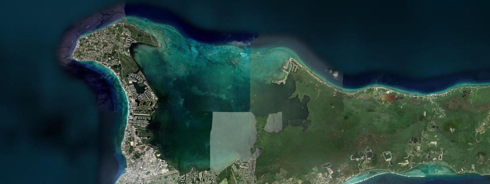
Stake Bay is the main settlement on Cayman Brac, the 19 km-long island that sits between Little Cayman and the open western Caribbean. The island's name comes from the Scottish Gaelic word for bluff or cliff — bràigh — and The Bluff is the defining feature: a 42-metre limestone escarpment that runs the full length of the island's eastern half, its highest point overhanging the sea cliff on the north coast and its gradual western slope dropping toward the settlement end. Stake Bay faces north toward the open Caribbean along a shoreline of ironshore limestone and small sand beaches separated by rocky points.
The fringing reef on the north coast begins 50 to 100 metres offshore at 3 to 6 metres depth and provides some reduction in wave energy, but this coast is more exposed than the sheltered south coast beaches and picks up the northeast trade swell more directly. The dive sites off the north coast at Stake Bay include wreck dives at depth — most notably the MV Captain Keith Tibbetts, a Cuban frigate deliberately sunk as an artificial reef in 1996, sitting at 18 to 28 metres depth in the Bloody Bay area west of Stake Bay. The wreck is encrusted and colonised with coral, and it is the most popular dive site on the island.
Sea kayaking along the Stake Bay coast uses the relative shelter of the north coast bays between rocky points; the morning glass before 09:00 is the calmer window for the stretch from the Cayman Brac Beach Resort east toward the north Bluff face. The limestone rock formations along the ironshore coast hold nesting seabirds in the cliff crevices and provide the characteristic Cayman Brac coastal composition for photography. The Bluff itself is crossed by hiking trails from the south coast road; the North Bluff Trail exits at the cliff edge above the sea, giving an elevated view of the north coast reef and the Caribbean horizon.
6 metres — similar to Little Cayman, slightly more exposed than the south coast. Shore anglers work the north coast rocky points on the early morning flood, targeting the Nassau grouper and snapper that move onto the reef on the incoming tide. 3 metres on height.
Tide questions about Stake Bay, Cayman Brac
Quick answers to the most common questions about tide times, range, and water access at Stake Bay, Cayman Brac.
What is the MV Captain Keith Tibbetts wreck?
The MV Captain Keith Tibbetts is a Cuban Koni-class frigate, approximately 100 metres long, deliberately sunk as an artificial reef off the northwest coast of Cayman Brac in September 1996. The wreck sits at 18 to 28 metres depth, oriented north-south, and is thoroughly colonised with hard and soft coral. It is the most popular dive site on Cayman Brac and one of the most visited wreck dives in the Cayman Islands overall. Open Water certified divers can explore the shallow deck sections at 18 to 20 metres; the deeper stern section requires advanced or rescue certification. Barracuda, grouper, and eagle rays are regular sightings on the wreck.
What is The Bluff on Cayman Brac?
The Bluff is the 42-metre limestone escarpment that runs the length of the eastern half of Cayman Brac. It forms a dramatic north-coast sea cliff where the escarpment meets the shore, and a more gradual inland slope on the south side. The Bluff Trail network on top of the escarpment is the main hiking area on the island; the North Bluff Trail exits at the cliff edge above the sea, with views of the north coast reef and the Caribbean. The rock caves and crevices in the cliff face have historically been used as shelter during hurricanes by the island's population. The highest point of The Bluff — 43 metres above sea level — is the highest point in the Cayman Islands.
What is the tide range at Stake Bay?
Mixed semidiurnal, spring range roughly 0.4 to 0.6 metres. The north coast at Stake Bay is more exposed than the south coast beaches and picks up the northeast trade swell more directly; wave height rather than tide state is the primary variable for swimming and snorkelling access on this coast. Spring tides coincide with new and full moons; the tidal current at the fringing reef is mild, running at 0.2 to 0.4 knots and reversing with the flood-ebb cycle.
Where do the tide predictions for Stake Bay come from?
Open-Meteo Marine, a free gridded global ocean model. Accuracy is typically within plus or minus 45 minutes on timing and 0.2 to 0.3 metres on height. The Cayman Islands Meteorological Service publishes weather and marine forecasts for all three Cayman islands. Cayman Brac runs on a similar tidal phase to Little Cayman, with the nearest authoritative gauge reference at George Town, Grand Cayman, approximately 90 km to the west.
Is this safe to use for navigation?
No. The north coast of Cayman Brac has a fringing reef and ironshore coast that require current chart data for vessel navigation. The MV Captain Keith Tibbetts wreck site is a designated dive site with mooring buoys but is not a harboured approach. For vessel navigation around Cayman Brac, use the Caribbean Hydrographic Institute charts and the Cayman Islands Port Authority guidance. Open-Meteo Marine gridded predictions are not authoritative navigational data.
7-day tide table — Stake Bay, Cayman Brac
Heights relative to MSL. Predictions: Open-Meteo Marine (MeteoFrance SMOC, 0.08° grid) — heights relative to MSL (not chart datum / LAT). Model-derived.
| Day | Type | Time | Height |
|---|---|---|---|
| Sat 04 Jul | — | ||
| Sun 05 Jul | Low | 06:50 | 0.3m |
| High | 13:00 | 0.5m | |
| Low | 18:45 | 0.3m | |
| Mon 06 Jul | High | 01:00 | 0.5m |
| Low | 07:50 | 0.3m | |
| Tue 07 Jul | High | 01:50 | 0.5m |
| Low | 21:10 | 0.4m | |
| Wed 08 Jul | High | 17:00 | 0.5m |
| Low | 22:10 | 0.4m | |
| Thu 09 Jul | — | ||
| Fri 10 Jul | High | 18:00 | 0.6m |