Rum Point tide times
Rum Point tide forecast — heights relative to MSL.
Today's tide times for Rum Point
Tide times at Rum Point on Saturday, 27 June 2026: first low tide at 02:10am, first high tide at 07:00am. Sunrise 05:49am, sunset 07:06pm.
Tide chart for Rum Point
24-hour cosine-interpolated curve around the present moment. Heights relative to MSL. Predictions: Predictions: Open-Meteo Marine (MeteoFrance SMOC, 0.08° grid).
Sun, moon and conditions on Sat 27 Jun
Snapshot at build time — refreshes daily. Sea state from Open-Meteo Marine.
Highs and lows next 7 days
Every predicted high and low for the next week, with the daily tidal coefficient (0–120; higher = bigger swing, > 95 means stronger currents).
Other spots nearby
The three closest curated TideTurtle locations to Rum Point, measured by great-circle distance.
Today's solunar windows
Solunar tradition: major periods are the ≈3h windows around moon transit and opposition; minor are ≈2h around moonrise and moonset. Pair with the local tide stage and wind for the best read.
Cycle dates near Rum Point
Next spring tide on Sat 27 Jun (range 0.2m). Last neap on Fri 26 Jun.
Spring tides cluster around new and full moons (biggest swings). Neap tides land on quarter moons (smallest swings). See the spring tide and neap tide glossary entries for the why.
About tides at Rum Point
A short guide to the coastline at Rum Point — geography, sea state, and what the tide is actually doing under your feet.
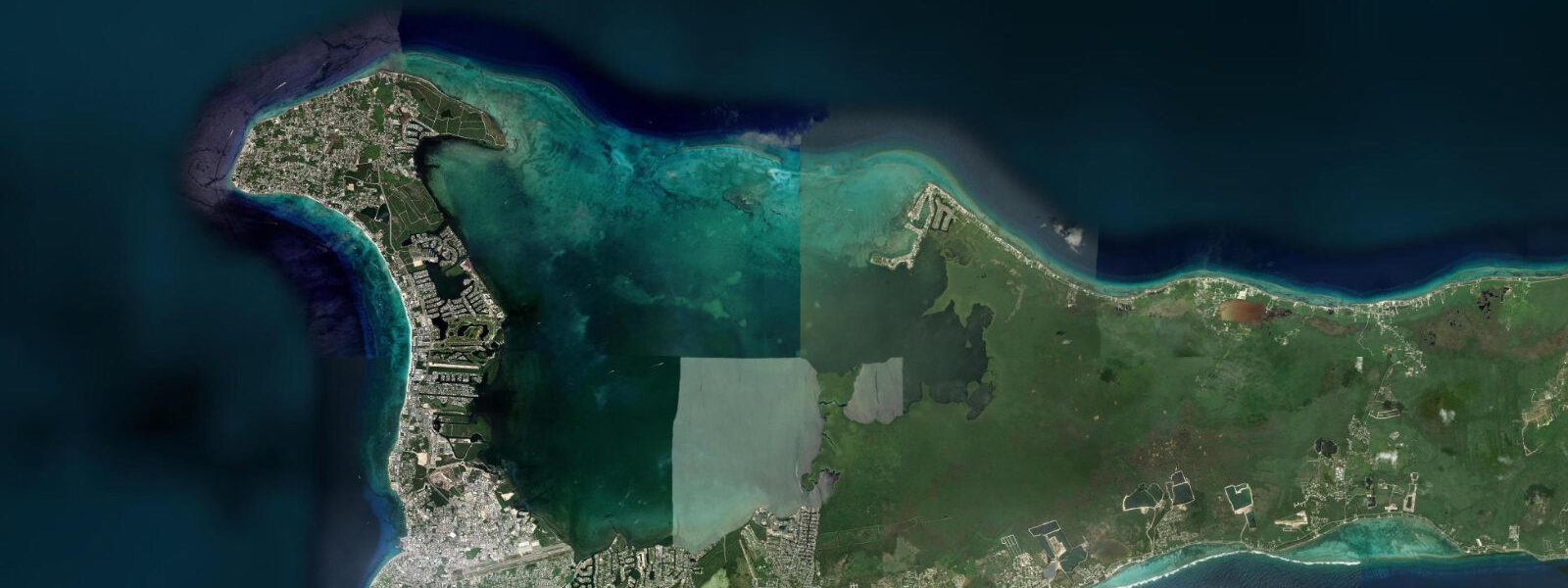
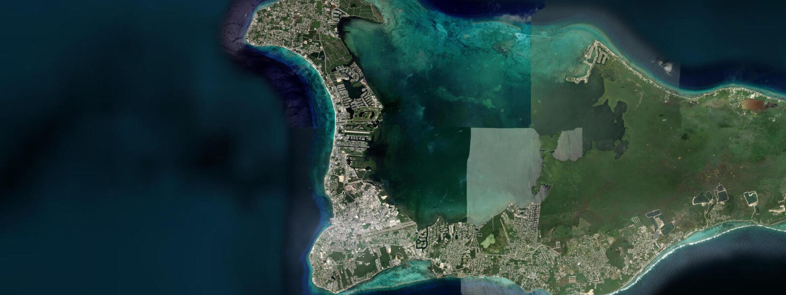
Rum Point sits on the north side of Grand Cayman at the eastern edge of the North Sound, the large shallow lagoon that occupies the island's centre-north. Access requires a 35-minute drive from George Town via the North Side road, or a 15-minute water taxi from Camana Bay marina on the west side of the North Sound. That distance is the primary filter: Rum Point sees far fewer visitors than Seven Mile Beach, and the beach character reflects it.
The tidal regime at Rum Point has the same island-wide mixed semidiurnal microtidal character as the west coast: spring range 0.3–0.4 m. However, the North Sound's geometry adds a layer. The Sound is a broad, shallow lagoon — mostly 1–3 m deep — with mangrove-fringed shorelines on its eastern and western margins and a reef barrier to the north that separates it from the open Caribbean. Tidal water exchanges in and out through several reef passes in the northern barrier. On spring tides, the exchange is visible as a 0.5–1.0 knot current running through the main North Sound channel passes; inside the lagoon, the tidal movement is distributed and the current is negligible except at the passes themselves.
Rum Point beach faces northeast over the North Sound rather than the open sea, and the combination of the mangrove coastline surrounding it, the barrier reef to the north, and the shallow lagoon creates water conditions unlike the island's west coast. The water over the North Sound is warm (often 30–31°C in summer, warmer than the west coast by 2°C), shallow, and calm — the reef suppresses swell and the lagoon geometry absorbs any wind chop generated inside. This warm, flat water is the defining feature for beach families, particularly those with young children.
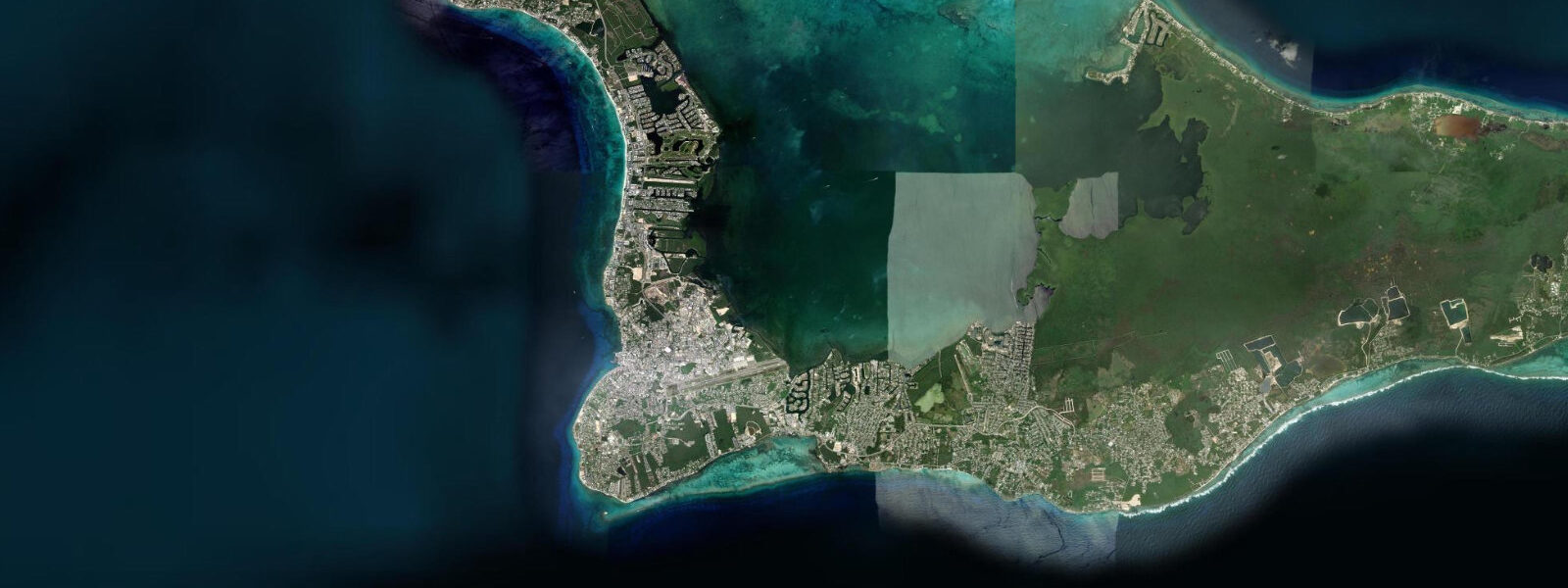
At low tide, the North Sound shallows are at their shallowest — large sections of the lagoon drop to 0.5–0.8 m, and sandflats on the north and eastern margins of the Sound become very shallow or partially exposed. The tidal flat exposure at the sandbanks north of Rum Point creates standing-water zones similar to Caribbean natural pools. The sand here is white calcium carbonate; the water over it is the vivid turquoise that defines the Cayman aesthetic in photographs. Wading the shallows at low tide to the sandbanks — roughly 400 m north of the beach — is the signature Rum Point activity in calm conditions.
For kayakers and paddleboarders, North Sound is one of the best flatwater environments in the Cayman Islands. The lagoon's sheltered geometry means the surface is calm except in sustained 20-plus knot winds. Rum Point serves as the eastern base for North Sound paddle exploration; Stingray City sandbar (4 km west across the Sound) is reached by paddleboard in a 45-minute crossing. The journey passes over seagrass beds in 1–2 m, with occasional spotted eagle ray and sea turtle encounters en route. The crossing is tide-independent for paddlers — the water is deep enough in the main Sound channel at all tide stages.
Stingray City, 4 km west of Rum Point in the North Sound, is the Cayman Islands' most recognised attraction. Atlantic southern stingrays (Hypanus americanus) aggregate at the sandbar in 1–1.5 m of water where the local fishing fleet historically cleaned catch. The animals are habituated and approachable; visitors wade on the sand as the rays circle, feeding on squid provided by operators. The site is busiest at 10:00–13:00 when charter tour boats from George Town arrive simultaneously. Paddleboarding from Rum Point and arriving at 09:00 or 14:00 avoids the crowd peak. Sandbar depth changes with tide: 1.0–1.3 m at low, 1.3–1.7 m at high — both wading depth, but lower tide puts the rays closer to the surface.
Anglers fishing North Sound from Rum Point work the mangrove edges at the Sound's eastern margin for tarpon, snook, and bonefish. Bonefish move onto the shallow white sand flats north of the beach on the early morning flood, feeding in 20–40 cm of water. The productive window is the first 90 minutes of the flood before depth increases and fish scatter.
The Rum Point Club beach bar and restaurant operates daily, known for its frozen mudslide cocktail and its relaxed pace relative to the west coast resort strip. The outdoor seating under the sea grape trees is the social centre of this end of the island.
All tide predictions for Rum Point come from the Open-Meteo Marine gridded model. Timing accuracy is ±45 minutes; height accuracy is ±0.3 m above Chart Datum.
Tide questions about Rum Point
Quick answers to the most common questions about tide times, range, and water access at Rum Point.
How does the North Sound's tidal regime affect the sandflats near Rum Point?
The North Sound exchanges tidal water through several reef passes in the northern barrier. Spring range is 0.3–0.4 m. At low tide the shallow lagoon floor north of Rum Point drops to 0.5–0.8 m, and the sandbanks 400 m north of the beach become very shallow — some sections barely covering the sand. The vivid turquoise standing-water effect over the white carbonate sand is most pronounced at low tide. The flood covers these sections progressively over 6 hours; the lower low-water events of the day's diurnal inequality cycle produce the shallowest sandbank exposure.
Can I paddleboard from Rum Point to Stingray City?
Yes. Stingray City sandbar is 4 km west across the North Sound from Rum Point — a 40–50 minute crossing for a paddler at moderate pace. The Sound is shallow (1–3 m) and sheltered by the surrounding reef barrier; conditions are flatwater on most days. The route passes over seagrass beds with eagle ray and turtle encounters likely. Arriving at 09:00 or after 14:00 avoids the peak charter tour crowd at the sandbar. Paddleboard rental is available from Rum Point; inform the operator of the crossing plan. The return trip is into the prevailing east-southeast trade wind — allow extra time.
What is the best tide for seeing stingrays at Stingray City?
Stingray City sandbar sits in 1.0–1.3 m at low tide and 1.3–1.7 m at high tide — both wading depth, both accessible year-round. The lower tide puts the rays closer to the surface and makes them easier to observe and photograph from a standing position. Atlantic southern stingrays present at all tide stages because the site is a learned feeding ground, not a tide-driven habitat selection. The timing that matters more than tide is crowd timing: arriving before 10:00 or after 14:00 avoids the midday cluster of 10–15 charter boats simultaneously.
Is Rum Point good for bonefishing?
The white sand flats north of Rum Point are productive bonefish habitat. Fish move onto the flat on the early morning flood, feeding in 20–40 cm of water over white sand — ideal sight-fishing conditions. The productive window is the first 90 minutes of the flood, before the water deepens enough to allow the fish to disperse. Permit and juvenile tarpon also use the flat. Independent wading is feasible; local guides familiar with the North Sound flat system can position clients based on daily tidal timing. The Cayman Islands permit system requires a fishing licence for non-residents.
Why is Rum Point's water warmer than Seven Mile Beach?
The North Sound is a shallow enclosed lagoon mostly 1–3 m deep, heated continuously by the sun with limited oceanic water exchange through the reef barrier passes. In summer (July–September), the North Sound water temperature reaches 30–31°C — 2°C warmer than the open Caribbean on the west coast. The west coast's water is replenished more regularly by open ocean exchange, which moderates its temperature. For swimmers, the North Sound warmth is pleasant in winter and can feel uncomfortably warm on hot summer days. The west coast's slightly cooler temperature is more refreshing in the peak summer heat.
7-day tide table — Rum Point
Heights relative to MSL. Predictions: Open-Meteo Marine (MeteoFrance SMOC, 0.08° grid) — heights relative to MSL (not chart datum / LAT). Model-derived.
| Day | Type | Time | Height |
|---|---|---|---|
| Sat 27 Jun | Low | 02:10 | 0.4m |
| High | 07:00 | 0.5m | |
| Sun 28 Jun | Low | 02:10 | 0.4m |
| High | 07:50 | 0.6m | |
| Low | 14:00 | 0.3m | |
| High | 21:10 | 0.6m | |
| Mon 29 Jun | Low | 02:50 | 0.5m |
| High | 08:00 | 0.6m | |
| Tue 30 Jun | Low | 03:10 | 0.5m |
| High | 08:50 | 0.6m | |
| Low | 15:00 | 0.4m | |
| High | 22:00 | 0.6m | |
| Wed 01 Jul | — | ||
| Thu 02 Jul | Low | 16:10 | 0.4m |
| High | 23:10 | 0.7m | |
| Fri 03 Jul | Low | 05:10 | 0.5m |
| High | 11:00 | 0.6m | |
| Low | 16:50 | 0.5m | |