George Town, Grand Cayman tide times
George Town, Grand Cayman tide forecast — heights relative to MSL.
Today's tide times for George Town, Grand Cayman
Tide times at George Town, Grand Cayman on Saturday, 27 June 2026: first low tide at 02:00am, first high tide at 07:00am, second low tide at 01:15pm. Sunrise 05:50am, sunset 07:07pm.
Tide chart for George Town, Grand Cayman
24-hour cosine-interpolated curve around the present moment. Heights relative to MSL. Predictions: Predictions: Open-Meteo Marine (MeteoFrance SMOC, 0.08° grid).
Sun, moon and conditions on Sat 27 Jun
Snapshot at build time — refreshes daily. Sea state from Open-Meteo Marine.
Highs and lows next 7 days
Every predicted high and low for the next week, with the daily tidal coefficient (0–120; higher = bigger swing, > 95 means stronger currents).
Other spots nearby
The three closest curated TideTurtle locations to George Town, Grand Cayman, measured by great-circle distance.
Today's solunar windows
Solunar tradition: major periods are the ≈3h windows around moon transit and opposition; minor are ≈2h around moonrise and moonset. Pair with the local tide stage and wind for the best read.
Cycle dates near George Town, Grand Cayman
Last spring tide on Fri 26 Jun (range 0.2m). Next spring tide on Thu 02 Jul (range 0.2m). Next neap on Sun 28 Jun.
Spring tides cluster around new and full moons (biggest swings). Neap tides land on quarter moons (smallest swings). See the spring tide and neap tide glossary entries for the why.
About tides at George Town, Grand Cayman
A short guide to the coastline at George Town, Grand Cayman — geography, sea state, and what the tide is actually doing under your feet.
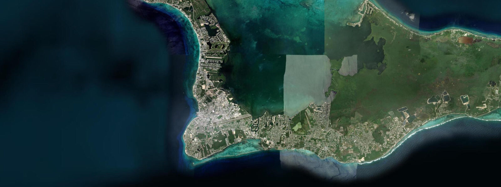
George Town is the capital of the Cayman Islands and one of the principal offshore financial centres in the world — a designation that shapes the city's character in ways visible immediately: the density of bank buildings per square kilometre, the quality of the road infrastructure, and the fact that this is the most prosperous small territory in the Caribbean by per capita income. The city sits on the west coast of Grand Cayman, the largest of the three Cayman Islands, protected from the prevailing east-southeast trades by the island's bulk. The barrier reef that runs parallel to the west coast 300–500 m offshore is the defining feature for water access.
The tidal regime at George Town is Caribbean microtidal: mixed semidiurnal, spring range 0.3–0.4 m. The Cayman Islands sit in the northwest Caribbean, removed from the Atlantic tidal signal that gives the Bahamas its larger range. The tide at George Town is real but small — the twice-daily water level change of 0.3 m produces visible movement on the dock walls and in the shallow lagoon north of the cruise terminal, but the barrier reef offshore means that wave energy rather than tidal state governs beach conditions.
The cruise ship tender operation at George Town is one of the largest in the Caribbean. Grand Cayman has no cruise pier — the Cayman Islands government has repeatedly declined to build one — so cruise ships anchor in George Town Harbour and tender passengers to shore. On days when three or four ships are anchored simultaneously, the tender traffic is constant. The tender landing at the North and South Terminal operates throughout the day; the queues build at 08:30 when the first ships begin tendering and at 16:00 when passengers return. Shore excursion operators meet passengers at the landing.
The barrier reef immediately offshore from George Town contains some of the most accessible dive sites in the western Caribbean. Eden Rock, directly in front of the city, is a shallow reef system in 3–12 m accessible from the beach with minimal swimming — snorkellers reach it in 5 minutes from the sand. The reef is penetrated by swim-throughs and arches created by the limestone structure; the fish population is extremely dense due to consistent feeding by dive operators over decades. Sergeant major damselfish, yellowtail snapper, bar jacks, and hawksbill turtles are the standard George Town reef encounters. Parrot fish are abundant and their crunching on the coral audible underwater.
For divers, the North Wall and South Wall — the vertical reef faces that drop from the shelf break at 18–20 m into the Cayman Trench — are accessible in 20-minute boat rides north and south of the harbour. The walls are considered among the finest wall dives on the planet for the combination of drop (several thousand metres of clear Caribbean water below the wall crest), coral coverage, and the density of large pelagics — Nassau grouper, eagle rays, reef sharks — that frequent the wall face. Current at the wall crest runs 0.5–1.0 knots on spring tides.
Anglers fishing the George Town area work the reef structure from small boats for grouper, snapper, and triggerfish. The Cayman Islands Marine Conservation Law restricts takes of Nassau grouper, conch, and other species to specific seasons and limits; the regulations are enforced and fines are substantial. Offshore, the Cayman Banks 20 km south of the island are a traditional yellowfin tuna and wahoo ground. Sport fishing charters depart George Town Harbour and are bookable through the visitor centre at the cruise terminal.
Families without diving interest use George Town's Seven Mile Beach (see separate listing, 2 km north) for beach time; the city itself is a functional town rather than a beach resort, with the waterfront area dominated by cruise terminal infrastructure and the dive operator docks.
Photographers working the George Town waterfront focus on two subjects: the cruise ship anchorage at dawn (with the ships behind the tender dock and the morning light on the sea) and the Eden Rock reef from the shore (best at mid-morning when the sun is high enough to penetrate the shallow water and illuminate the coral for snorkelling photography).
All tide predictions for George Town, Grand Cayman come from the Open-Meteo Marine gridded model. Timing accuracy is ±45 minutes; height accuracy is ±0.3 m above Chart Datum.
Tide questions about George Town, Grand Cayman
Quick answers to the most common questions about tide times, range, and water access at George Town, Grand Cayman.
Why do cruise ships anchor rather than dock at Grand Cayman?
Grand Cayman has no cruise pier — the Cayman Islands government has maintained a policy of keeping ships at anchor and transferring passengers by tender, a decision reflecting both concerns about pier infrastructure impact on the reef and the management of visitor flow to the island. Ships anchor in George Town Harbour 0.5–1.0 km offshore; high-speed tenders shuttle passengers to the North and South Terminal landings throughout the day. The arrangement limits the number of ships that can call simultaneously and keeps the daily visitor count within the capacity the island chooses to manage.
What is the tidal range at George Town, and does it affect reef diving?
George Town has a spring tidal range of 0.3–0.4 m — NW Caribbean microtidal. The small range means depth at the Eden Rock reef (3–12 m) does not change meaningfully between high and low water. Dive and snorkel planning is governed by current direction and sea conditions, not tidal depth. The reef wall current runs 0.5–1.0 knots on spring tides; dive operators brief current and time entries accordingly. Tidal state has no effect on cruise tender operations or beach access.
Is Eden Rock suitable for snorkellers, and how do I access it?
Eden Rock is one of the most accessible coral reef snorkel sites in the Caribbean — a shore entry directly from the beach fronting George Town, within a 5-minute swim of the sand. The reef sits at 3–12 m with limestone swim-throughs and arches navigable by snorkellers at the shallower sections. Fish density is high: sergeant major damselfish, yellowtail snapper, bar jacks, and hawksbill turtles are reliably present. Entry is from the beach at Sunset House dive operation, which charges a small site access fee. Mask, fins, and snorkel can be hired on-site. Morning (before 10:00) has the best light penetration and pre-crowd conditions.
What are the fishing regulations in the Cayman Islands?
The Cayman Islands Marine Conservation Law protects Nassau grouper with a seasonal closure (December 1 to March 31), prohibits take of conch below minimum size limits, and sets bag limits on several reef species. No-take zones exist at Stingray City and several other designated areas. Spearfishing requires a licence and is restricted to specific areas. Visiting anglers on sport fishing charters operate under the captain's licence and are briefed on current limits; independent shore and boat anglers should obtain a recreational fishing permit. Fines for violations are substantial and enforcement is active.
What is the best time to dive the George Town walls?
The North Wall and South Wall dive sites require a 20-minute boat ride from George Town Harbour. The walls are dived year-round; visibility runs 25–35 m in the dry season (January through April) and 15–25 m in the wet season. The current at the wall crest peaks at mid-flood and mid-ebb; dive operators time entries to catch a mild current or slack water. Morning departures (08:00–09:00) are the standard window — surface conditions are calmest before the afternoon east-southeast sea breeze builds. The Cayman Trench below the wall is visible in clear water as a receding blue, one of the signature depth experiences in Caribbean diving.
7-day tide table — George Town, Grand Cayman
Heights relative to MSL. Predictions: Open-Meteo Marine (MeteoFrance SMOC, 0.08° grid) — heights relative to MSL (not chart datum / LAT). Model-derived.
| Day | Type | Time | Height |
|---|---|---|---|
| Sat 27 Jun | Low | 02:00 | 0.4m |
| High | 07:00 | 0.5m | |
| Low | 13:15 | 0.3m | |
| Sun 28 Jun | High | 21:10 | 0.6m |
| Mon 29 Jun | Low | 03:00 | 0.5m |
| Tue 30 Jun | High | 08:50 | 0.6m |
| Low | 15:00 | 0.4m | |
| High | 22:00 | 0.6m | |
| Wed 01 Jul | Low | 04:00 | 0.5m |
| Thu 02 Jul | High | 10:00 | 0.6m |
| Low | 16:10 | 0.4m | |
| High | 23:00 | 0.7m | |
| Fri 03 Jul | Low | 05:10 | 0.5m |
| High | 11:00 | 0.6m | |
| Low | 16:50 | 0.5m |