Santa Maria, Sal tide times
Santa Maria, Sal tide forecast — heights relative to MSL.
Today's tide times for Santa Maria, Sal
Tide times at Santa Maria, Sal on Saturday, 27 June 2026: first high tide at 06:20am, first low tide at 12:21pm, second high tide at 06:47pm. Sunrise 06:01am, sunset 07:08pm.
Tide chart for Santa Maria, Sal
24-hour cosine-interpolated curve around the present moment. Heights relative to MSL. Predictions: Predictions: Open-Meteo Marine (MeteoFrance SMOC, 0.08° grid).
Sun, moon and conditions on Sat 27 Jun
Snapshot at build time — refreshes daily. Sea state from Open-Meteo Marine.
Highs and lows next 7 days
Every predicted high and low for the next week, with the daily tidal coefficient (0–120; higher = bigger swing, > 95 means stronger currents).
Other spots nearby
The three closest curated TideTurtle locations to Santa Maria, Sal, measured by great-circle distance.
Today's solunar windows
Solunar tradition: major periods are the ≈3h windows around moon transit and opposition; minor are ≈2h around moonrise and moonset. Pair with the local tide stage and wind for the best read.
Cycle dates near Santa Maria, Sal
Next spring tide on Thu 02 Jul (range 0.7m). Last neap on Fri 26 Jun. Next neap on Wed 01 Jul.
Spring tides cluster around new and full moons (biggest swings). Neap tides land on quarter moons (smallest swings). See the spring tide and neap tide glossary entries for the why.
About tides at Santa Maria, Sal
A short guide to the coastline at Santa Maria, Sal — geography, sea state, and what the tide is actually doing under your feet.
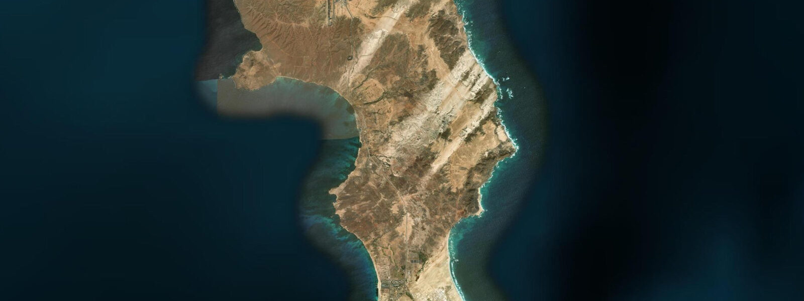
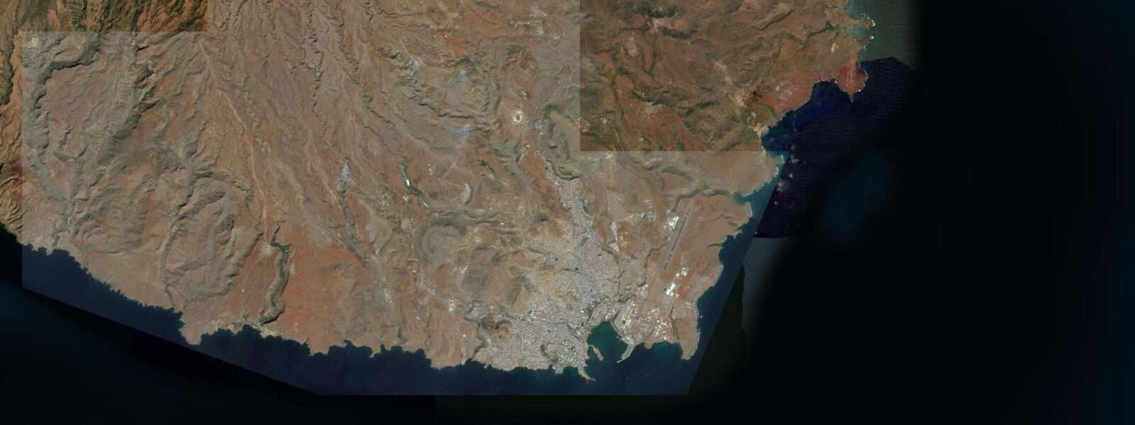
Santa Maria sits on the southern tip of Sal island, the flattest and most arid island in the Cape Verde archipelago. Sal's geology is entirely different from Santiago or São Vicente: no volcanic mountains, no shelter from the NE trades, just a low-lying semi-desert plateau 12 km wide extending to white-sand beaches and turquoise shallow water on the south coast. The trade wind blows across this island without obstruction, which makes it one of the most consistently windy places in the Atlantic world and accordingly one of the world's premier kite-surfing and windsurfing destinations.
The tidal regime at Santa Maria is mixed semidiurnal with a spring range of approximately 2.0 m. The flat bathymetry of Sal's south coast means that the 2.0 m spring range moves the waterline substantially — the shallow water angle of the beach and the low-gradient inshore zone mean that a 2.0 m vertical change translates to 60–100 m of horizontal movement on the widest beach sections. At spring low water, the exposed sand flats at the eastern end of Santa Maria beach extend far enough to alter the wave-break position and the kite launch zone.
Ponta Preta, 1 km west of the Santa Maria village waterfront, is the defining location on Sal. The point creates a consistent wave break that fires on NE swell — predominantly in the December through April trade-wind season — and the wind-against-wave geometry gives intermediate and advanced kite surfers a wave-riding environment that ranks alongside the best in the Atlantic. The break works at mid-tide through high water; at spring low water the reef section partially exposes and the break shifts seaward. Wind at Ponta Preta consistently runs 20–30 knots from the NE between November and April, often building to 35 knots during the strongest trade episodes. The kite schools based in Santa Maria village run lessons from the eastern beach, where the flat water and consistent wind are ideal for beginners, before progressing students to Ponta Preta.
Sal's name comes from the salt production that was historically the island's only significant economic activity. The Pedra de Lume salt crater in the north of the island — a volcanic caldera partially below sea level where seawater percolates in and evaporates, leaving salt crust — is accessible by road and operates as a tourist salt bath (the water is dense enough to float without effort). The salterns function best in the dry season from October through May when evaporation exceeds rainfall. Tide height influences the rate at which seawater enters the caldera through the natural rock filter.
Turtle nesting on Santa Maria beach occurs from June through October, when loggerhead turtles (Caretta caretta) come ashore at night to lay eggs on the upper beach above the high-water mark. Sal is one of the most important loggerhead nesting sites in the eastern Atlantic; the local turtle protection association (SOS Tartarugas) runs guided night monitoring tours during nesting season. The nests are above the spring high-water line, but the nest location selection is tide-sensitive — females use the high-water strand line as a reference point.
For families, Santa Maria's main village beach is the most practical: the bay faces south-southwest, sheltered from the direct NE trade swell by the island's southern tip, and the shallow, turquoise, sandy-bottomed water here is among the most consistently calm in the Cape Verde islands. At mid-tide in the afternoon, when the wind has picked up to 20 knots, the family beach and the kite-surfing area occupy opposite ends of the same bay without conflict.
Anglers in Santa Maria work the rocky shore at Ponta Preta and the jetty structures in the village harbour. The ebb tide concentrates predatory fish along the rocky point as the tide drains from the inshore pools. Offshore, mahi-mahi and wahoo are the principal charter targets — Sal's open-Atlantic position makes both species accessible within an hour's run. The island sits between the Canary Current to the north and the equatorial counter-current system to the south, a convergence zone that drives year-round pelagic productivity.
All tide predictions for Santa Maria, Sal come from the Open-Meteo Marine gridded model. Timing accuracy is ±45 minutes; height accuracy is ±0.3 m above Chart Datum.
Tide questions about Santa Maria, Sal
Quick answers to the most common questions about tide times, range, and water access at Santa Maria, Sal.
What tidal conditions are best for kite-surfing at Ponta Preta?
Ponta Preta works best from mid-tide through high water on a NE swell. At spring low water (2.0 m range) the reef partially exposes and the break shifts seaward, changing the wave geometry. The kite school beach at the eastern end of Santa Maria bay is tidal-independent for flatwater beginners — the wide sandy bottom and consistent depth mean the lesson zone functions at any tide stage. Intermediate riders transitioning to Ponta Preta should time their first sessions for the mid-tide window when the reef is covered and the break is cleanest.
When do loggerhead turtles nest on Santa Maria beach?
Loggerhead turtles (Caretta caretta) nest on Santa Maria beach from June through October, arriving at night to lay clutches of 80–120 eggs above the spring high-water mark. Sal is one of the most significant loggerhead nesting sites in the eastern Atlantic. SOS Tartarugas, the local conservation organisation, runs guided night tours during nesting season — these are the only sanctioned way to observe nesting turtles without causing disturbance. Hatchlings emerge 60–70 days after laying, with peak emergence in August and September. Disturbing nests or using torches on the beach during nesting season is illegal.
What are the trade wind conditions at Santa Maria, and when are they strongest?
NE trade winds at Santa Maria blow at 20–30 knots for most of November through April, with the strongest episodes reaching 35+ knots. This is one of the most consistent trade wind corridors in the Atlantic. June through September is the calm season: winds drop to 10–18 knots and the sea state in the bay is flat. The transition months (October, May) offer moderate winds at 15–25 knots, popular for intermediate kite surfers who find the November–April conditions overpowering. Kite schools typically close during the heaviest November and December events.
What is the Pedra de Lume salt crater and how does it work?
Pedra de Lume is a volcanic caldera in northern Sal island, partially below sea level, where seawater filters through porous volcanic rock into the crater and evaporates in the intense sun and wind. The resulting salt lake has salinity 10–12 times higher than the ocean, dense enough to float a person without effort. The site operates as a tourist attraction with changing facilities and salt-bath pools. The best evaporation conditions are October through May (dry season). The entry of seawater through the rock is tidally influenced — the inflow rate increases at high tide, though this is not visible from inside the crater.
What fish species can anglers catch around Santa Maria?
Shore anglers at Ponta Preta and the village jetty target barracuda, amberjack, and snapper on the ebb tide when current concentrates fish along the rocky point. Offshore charter targets are mahi-mahi and wahoo year-round, with blue marlin present in the warmer months (October through January). The Canary Current brings cold, productive water down the western side of the island; the eastern side is calmer and warmer. Local charter boats depart from the village harbour; bookings are possible through most resort hotels or direct with skippers on the waterfront.
7-day tide table — Santa Maria, Sal
Heights relative to MSL. Predictions: Open-Meteo Marine (MeteoFrance SMOC, 0.08° grid) — heights relative to MSL (not chart datum / LAT). Model-derived.
| Day | Type | Time | Height |
|---|---|---|---|
| Sat 27 Jun | High | 06:20 | 0.1m |
| Low | 12:21 | -0.4m | |
| High | 18:47 | 0.0m | |
| Sun 28 Jun | Low | 00:21 | -0.4m |
| High | 07:00 | 0.1m | |
| Low | 13:10 | -0.5m | |
| Mon 29 Jun | High | 07:38 | 0.2m |
| Low | 13:52 | -0.5m | |
| High | 20:04 | 0.1m | |
| Tue 30 Jun | Low | 01:43 | -0.5m |
| High | 08:21 | 0.2m | |
| Wed 01 Jul | Low | 02:16 | -0.5m |
| High | 08:56 | 0.3m | |
| Low | 15:07 | -0.5m | |
| High | 21:07 | 0.1m | |
| Thu 02 Jul | Low | 02:52 | -0.5m |
| High | 21:40 | 0.1m | |
| Fri 03 Jul | Low | 03:24 | -0.5m |
| High | 10:00 | 0.3m | |
| Low | 16:22 | -0.4m | |
| High | 22:00 | 0.1m |