Summerside, PEI tide times
Summerside, PEI tide forecast — heights relative to MSL.
Today's tide times for Summerside, PEI
Tide times at Summerside, PEI on Sunday, 21 June 2026: first high tide at 04:10am, first low tide at 10:42am, second high tide at 03:55pm, second low tide at 10:47pm. Sunrise 05:22am, sunset 09:11pm.
Tide chart for Summerside, PEI
24-hour cosine-interpolated curve around the present moment. Heights relative to MSL. Predictions: Predictions: Open-Meteo Marine (MeteoFrance SMOC, 0.08° grid).
Sun, moon and conditions on Sun 21 Jun
Snapshot at build time — refreshes daily. Sea state from Open-Meteo Marine.
Highs and lows next 7 days
Every predicted high and low for the next week, with the daily tidal coefficient (0–120; higher = bigger swing, > 95 means stronger currents).
Other spots nearby
The three closest curated TideTurtle locations to Summerside, PEI, measured by great-circle distance.
Today's solunar windows
Solunar tradition: major periods are the ≈3h windows around moon transit and opposition; minor are ≈2h around moonrise and moonset. Pair with the local tide stage and wind for the best read.
Cycle dates near Summerside, PEI
Next spring tide on Fri 26 Jun (range 1.4m). Next neap on Tue 23 Jun.
Spring tides cluster around new and full moons (biggest swings). Neap tides land on quarter moons (smallest swings). See the spring tide and neap tide glossary entries for the why.
About tides at Summerside, PEI
A short guide to the coastline at Summerside, PEI — geography, sea state, and what the tide is actually doing under your feet.
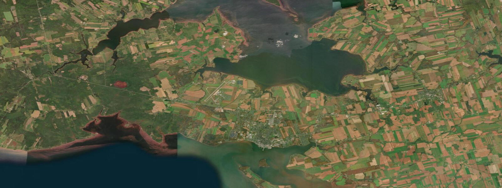
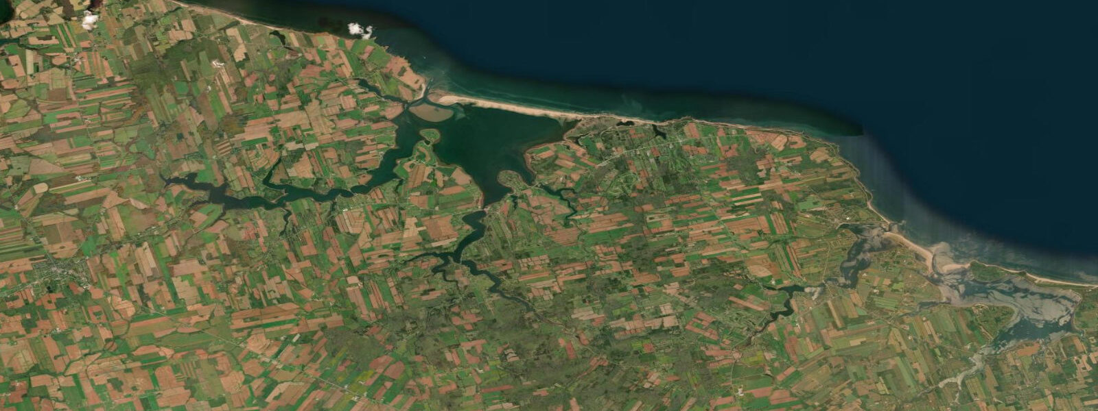
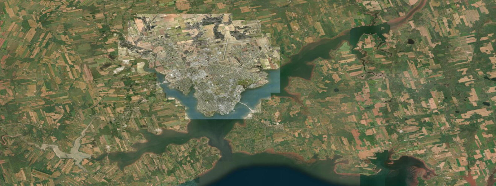
Summerside is PEI's second city, on the south shore of the island facing Bedeque Bay — an embayment of Northumberland Strait whose geometry amplifies the regional tidal signal to produce the largest tidal range on PEI. Mean range at Summerside is approximately 1.8 metres; spring range reaches around 2.2 metres. These are the highest ranges on PEI and noticeably larger than Charlottetown's 1.2 metre mean range. The bay shape funnels the tidal wave as it enters, building the height mechanically. The consequence is visible at the waterfront: the boats at the Summerside marina rise and fall by nearly 2 metres over a tidal cycle, and the tidal flats exposed at low water in the inner bay are extensive.
The inner bay at low water is a red-sand and tidal-flat environment productive for bivalve aquaculture and clam harvesting. Blue mussels grown on longlines in Bedeque Bay and the surrounding Northumberland Strait inlets are harvested primarily from September through November; the mussel product is processed at the Summerside harbour-area facilities and shipped nationally. Bedeque Bay oyster leases operate on the same tidal flush mechanism as Malpeque Bay — tidal renewal brings in phytoplankton, the shellfish filter and grow, the ebb removes the waste. The large tidal range at Summerside is directly productive: more tidal flushing per cycle means faster water renewal and better growing conditions.
The Summerside waterfront has been substantially redeveloped since the closure of CFB Summerside air force base in 1989. The harbourfront area includes Spinnakers' Landing, a mixed-use waterfront development with retail, restaurants, and a marina. The boardwalk runs along the waterfront from the marina eastward, with views of Bedeque Bay and Northumberland Strait. At low water the marina boats sit low in their berths; at high water they are at full float height. The visual change over a 6-hour tidal half-cycle is the largest on PEI.
Summerside's lobster tradition is central to its food identity. PEI lobster season has two phases: spring (May–June, the primary season) and fall (August–October, in some districts). The Summerside fleet fishes Northumberland Strait; the catch moves through the local co-op and wharfside buyers directly to restaurant and retail. The Summerside Lobster Carnival (third week of July, after spring season close) has run since 1958 — week-long festival with lobster suppers, live music, and a harbour parade.
PEI's Confederation Bridge is 35 kilometres southeast of Summerside on Route 1; the bridge to New Brunswick opened in 1997 and replaced the car ferry service that had operated since 1917. Summerside is closer to the bridge than Charlottetown is, and the city serves as the first urban stop for visitors arriving by car from the mainland.
Tide predictions on this page come from Open-Meteo Marine, a gridded global ocean model. Accuracy is typically within plus or minus 45 minutes on timing and 0.2 to 0.3 metres on height — model-derived, not from a DFO gauge on this specific location. For authoritative official Canadian predictions, consult Fisheries and Oceans Canada (DFO) at tides.gc.ca.
Tide questions about Summerside, PEI
Quick answers to the most common questions about tide times, range, and water access at Summerside, PEI.
Why does Summerside have the largest tidal range on PEI?
Summerside sits inside Bedeque Bay, whose funnel-shaped geometry amplifies the regional tidal signal as the tidal wave enters from Northumberland Strait. This is the same physical mechanism that makes the Bay of Fundy's tidal range exceptional, operating at a smaller scale. The mean range at Summerside is approximately 1.8 metres — 50% higher than Charlottetown's 1.2 metres on the same island, separated by 60 kilometres. Spring ranges reach around 2.2 metres. The amplification is useful for the aquaculture industry: higher tidal range means greater water exchange per cycle in Bedeque Bay, faster nutrient delivery to shellfish beds, and more productive growing conditions.
What aquaculture operates in Bedeque Bay and how does the tide drive it?
Blue mussels and oysters are the primary aquaculture species in Bedeque Bay and the surrounding Northumberland Strait inlets. Mussels grow on longlines suspended in the water column; the twice-daily tidal flush brings phytoplankton-rich water across the culture sites, the mussels filter-feed continuously, and the ebb carries metabolic waste away. The 1.8 metre tidal range at Summerside produces stronger tidal currents in Bedeque Bay than at lower-range sites, which translates to faster water renewal and faster mussel growth rates. PEI blue mussel harvest peaks September through November. The shellfish are shipped nationally; Bedeque Bay product appears in Summerside waterfront restaurants.
What is the Summerside Lobster Carnival and when does it happen?
The Summerside Lobster Carnival has run every July since 1958 — typically the third week of July, after the spring lobster season closes. The week-long festival includes lobster suppers (the traditional PEI format: a full lobster with sides, served at long community tables), live music at Spinnakers' Landing, a harbour parade, and associated events. The spring lobster season (May through June) is PEI's primary catch period; the Carnival marks its close and the shift into summer. For visitors whose timing allows it, a lobster supper during the Carnival week at Summerside or at one of the church lobster suppers across the island is the most direct connection to PEI's fishing economy.
What can I see and do at the Summerside waterfront?
Spinnakers' Landing is the commercial hub of the waterfront — restaurants, retail, and events space on the harbourfront. The marina boardwalk runs along the water's edge and gives a continuous view of Bedeque Bay and the boats; the tidal change here is the most visible on PEI, with boats dropping nearly 2 metres from high to low water over 6 hours. The College of Piping and Celtic Performing Arts of Canada, 2 blocks from the waterfront, hosts summer performance schedules of Highland piping, drumming, and step dancing. The Wyatt Heritage Properties at the north end of the downtown preserve two late-Victorian houses with guided interpretation. Evening low tides in summer expose the inner bay flats, which are accessible on foot from the waterfront road for birdwatching and clamming.
Are the tide predictions on this page official forecasts I can use for navigation or safety planning?
No. The predictions shown here come from Open-Meteo Marine, a global ocean model with typical accuracy of plus or minus 45 minutes on timing and 0.2 to 0.3 metres on height. They are appropriate for general coastal and waterfront planning — timing a walk on the tidal flats, understanding the marina water level cycle, or reading tidal conditions for a kayak outing — not for vessel navigation, harbour entry, or any safety-critical decision. For authoritative official Canadian predictions, use Fisheries and Oceans Canada (DFO) at tides.gc.ca. Northumberland Strait is subject to wind-driven surge events, particularly in autumn and winter, that can significantly exceed the predicted tide heights.
7-day tide table — Summerside, PEI
Heights relative to MSL. Predictions: Open-Meteo Marine (MeteoFrance SMOC, 0.08° grid) — heights relative to MSL (not chart datum / LAT). Model-derived.
| Day | Type | Time | Height |
|---|---|---|---|
| Sun 21 Jun | High | 04:10 | 0.4m |
| Low | 10:42 | -0.6m | |
| High | 15:55 | 0.1m | |
| Low | 22:47 | -1.0m | |
| Mon 22 Jun | High | 04:48 | 0.2m |
| Low | 11:24 | -0.9m | |
| High | 17:25 | 0.1m | |
| Low | 23:57 | -0.8m | |
| Tue 23 Jun | High | 05:53 | 0.1m |
| Low | 12:34 | -0.9m | |
| High | 18:47 | 0.2m | |
| Wed 24 Jun | Low | 13:48 | -0.9m |
| High | 19:50 | -0.1m | |
| Thu 25 Jun | Low | 14:38 | -1.1m |
| High | 21:02 | 0.0m | |
| Fri 26 Jun | Low | 03:03 | -0.5m |
| High | 08:18 | 0.1m | |
| Low | 15:38 | -1.1m | |
| High | 22:11 | -0.0m | |
| Sat 27 Jun | Low | 03:37 | -0.3m |
| High | 08:53 | 0.2m | |
| Low | 16:25 | -1.2m | |
| High | 20:00 | -0.5m |