Victoria, BC tide times
Victoria, BC tide forecast — heights relative to MSL.
Today's tide times for Victoria, BC
Tide times at Victoria, BC on Friday, 19 June 2026: first high tide at 03:27am, first low tide at 10:14am, second high tide at 04:43pm, second low tide at 10:43pm. Sunrise 05:11am, sunset 09:17pm.
Tide chart for Victoria, BC
24-hour cosine-interpolated curve around the present moment. Heights relative to MSL. Predictions: Predictions: Open-Meteo Marine (MeteoFrance SMOC, 0.08° grid).
Sun, moon and conditions on Fri 19 Jun
Snapshot at build time — refreshes daily. Sea state from Open-Meteo Marine.
Highs and lows next 7 days
Every predicted high and low for the next week, with the daily tidal coefficient (0–120; higher = bigger swing, > 95 means stronger currents).
Other spots nearby
The three closest curated TideTurtle locations to Victoria, BC, measured by great-circle distance.

Today's solunar windows
Solunar tradition: major periods are the ≈3h windows around moon transit and opposition; minor are ≈2h around moonrise and moonset. Pair with the local tide stage and wind for the best read.
Cycle dates near Victoria, BC
Last spring tide on Thu 18 Jun (range 4.0m). Next spring tide on Wed 24 Jun (range 2.9m). Next neap on Mon 22 Jun.
Spring tides cluster around new and full moons (biggest swings). Neap tides land on quarter moons (smallest swings). See the spring tide and neap tide glossary entries for the why.
About tides at Victoria, BC
A short guide to the coastline at Victoria, BC — geography, sea state, and what the tide is actually doing under your feet.
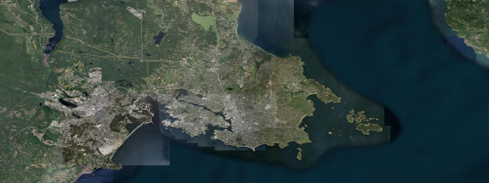
Victoria sits at the southern tip of Vancouver Island on the Juan de Fuca Strait, the international waterway separating Vancouver Island from Washington State's Olympic Peninsula. The tidal regime is mixed semidiurnal — two unequal high waters and two unequal low waters per day, a characteristic of BC's Pacific coast where the lunar diurnal and semidiurnal constituents combine to produce this pattern. Mean spring range is approximately 2.9 metres, but the higher high water and the lower low water on a large spring day can differ by up to 3.5 metres, with the lower low reaching below 0 metres on the chart datum.
Victoria Inner Harbour functions as the city's front door. Float planes operate regular scheduled service to Vancouver and Seattle, lifting off directly from the harbour basin. Water taxis cross to outlying docks and to Fisherman's Wharf, where a floating village of houseboats and food stalls occupies a protected moorage. Whale-watch vessels — running trips for J/K/L pod southern resident killer whales and for humpbacks, minkes, and grey whales on the Strait and the eastern Juan de Fuca — depart from the Inner Harbour and from Fisherman's Wharf docks multiple times daily in season (April through October).
Race Rocks Ecological Reserve, 10 kilometres south of Victoria at the southern tip of the Metchosin shoreline, is one of the strongest tidal current sites in British Columbia. The rocks constrict the Juan de Fuca flow, generating currents to 7 knots on large spring tides — producing turbulence, upwelling, and associated marine productivity that supports California and Steller sea lions, harbour seals, elephant seals, river otters, and a resident population of orca. The reserve is accessible only by chartered boat or guided kayak tour; it is an ecological reserve, not a park, and landing on the rocks is restricted.
Ogden Point Breakwater, at the southwest corner of the Inner Harbour, is Victoria's most popular shore dive — an accessible, sheltered entry with a vertical wall dropping to 20 metres and significant marine life (lingcod, rockfish, giant Pacific octopus). Tidal current awareness is required: on the ebb, water draining from the harbour through the breakwater gap creates a lateral current that can be strong enough to push divers off the wall. The incoming tide is the calmer dive window.
Dallas Road runs along the James Bay waterfront south of the Inner Harbour, with views across the Strait to the Olympic Mountains. The intertidal zone here is accessible on lower tides, with ochre sea stars (recovering from the 2013–2014 sea star wasting disease), purple urchins, and ochre and barnacle zones visible at low water. The rocky intertidal is best accessed on minus tides below 0.0 metres chart datum — occur several times per month from March through July.
Predictions on this page come from Open-Meteo Marine, a gridded global ocean model. Accuracy is typically within plus or minus 45 minutes on timing and 0.2 to 0.3 metres on height — model-derived, not from a local gauge. For authoritative Canadian tide data, consult the Canadian Hydrographic Service (tides.gc.ca).
Tide questions about Victoria, BC
Quick answers to the most common questions about tide times, range, and water access at Victoria, BC.
When are the best tides for whale watching near Victoria?
Whale-watch operators run trips throughout the day regardless of tide state, since cetaceans are not tide-dependent in the same way intertidal species are. However, tidal currents influence where marine mammals concentrate: pinniped haul-outs at Race Rocks become more active as the flood tide brings baitfish into the current upwellings around the rocks. The strongest Race Rocks currents — 5 to 7 knots on spring tides — are the periods with the highest marine mammal activity near the reserve. Spring tides (within 2 to 3 days of new or full moon) produce the strongest currents and the most concentrated marine activity. Book a morning departure for best light and typically calmer sea conditions on the Strait.
What is the tidal range at Victoria and how does mixed semidiurnal work?
Victoria's mean spring range is approximately 2.9 metres, but the mixed semidiurnal pattern means the two daily high waters are not equal and the two daily low waters are not equal. On a large spring day the higher high water may reach 3.3 metres above chart datum while the lower high water reaches only 2.1 metres. The lower low water may drop to -0.1 metres below chart datum while the higher low water stays near 0.8 metres. This creates four distinct tide states in a single day rather than the simple two-high-two-low rhythm of Atlantic semidiurnal coasts. The CHS tide tables list all four turning points with their heights and times.
Is Ogden Point Breakwater suitable for beginner divers?
Ogden Point is one of the more accessible shore dives in BC — a concrete breakwater with a defined entry point, shallow beginning, and a wall that drops gradually to 20 metres. That said, it is not a zero-consequence dive for beginners. Tidal current through the breakwater gap can be significant on the ebb, pushing divers laterally off the wall and toward deeper open water. Visibility drops when the ebb pulls disturbed sediment out through the gap. Plan dives for the 2 to 3 hours around high water or on the first hour of the flood, when current is minimal. A PADI Open Water certification is the minimum; local dive shop briefings (Ogden Point Dive Centre is on-site) are recommended for anyone unfamiliar with Pacific tidal dive conditions.
When can you explore the intertidal zone at Dallas Road?
The Dallas Road shoreline is accessible intertidal at any low tide, but the most productive exploration happens on tides that drop below 0.5 metres on the CHS chart datum — which happens reliably from late morning through early afternoon in spring and summer. The extreme low tides (below 0.0 metres chart datum) expose the lowest intertidal zone where bat stars, chiton, purple sea urchins, ochre sea stars, and occasional nudibranch species can be found. These minus tides occur several times monthly from March through July. Walk along Dallas Road to the rocky sections west of Clover Point for the best intertidal habitat — the sandy beach near Ogden Point is less productive. Stay off the rocks in rough weather; swell on an onshore wind makes the lowest intertidal inaccessible and dangerous.
How do you get to Race Rocks from Victoria?
Race Rocks is an ecological reserve — access is restricted and there is no public ferry. Guided tour options include whale-watching charters that stop at the rocks (most major operators include a Race Rocks transit), dedicated zodiac eco-tours that specifically target the marine mammals and seabird colonies, and guided sea kayak expeditions for experienced paddlers. The kayak route from Pedder Bay Marina (nearest launch point, approximately 20 km southwest of downtown Victoria) is 6 to 8 km each way across open Strait waters with potentially strong currents — intermediate-to-advanced sea kayaking skill is required and the crossing should only be attempted at or near slack water with an experienced guide or demonstrated current-reading ability.
7-day tide table — Victoria, BC
Heights relative to MSL. Predictions: Open-Meteo Marine (MeteoFrance SMOC, 0.08° grid) — heights relative to MSL (not chart datum / LAT). Model-derived.
| Day | Type | Time | Height |
|---|---|---|---|
| Fri 19 Jun | High | 03:27 | 1.9m |
| Low | 10:14 | -2.1m | |
| High | 16:43 | 1.7m | |
| Low | 22:43 | -0.8m | |
| Sat 20 Jun | High | 04:23 | 1.6m |
| Low | 11:06 | -1.7m | |
| High | 17:28 | 1.7m | |
| Low | 23:51 | -0.8m | |
| Sun 21 Jun | High | 05:20 | 1.3m |
| Low | 11:57 | -1.4m | |
| High | 18:19 | 1.6m | |
| Mon 22 Jun | Low | 12:50 | -1.1m |
| High | 19:10 | 1.6m | |
| Tue 23 Jun | Low | 02:04 | -1.1m |
| High | 07:52 | 0.7m | |
| Low | 13:46 | -0.8m | |
| High | 20:02 | 1.5m | |
| Wed 24 Jun | Low | 03:05 | -1.3m |
| High | 09:17 | 0.6m | |
| Low | 14:42 | -0.6m | |
| High | 20:56 | 1.5m | |
| Thu 25 Jun | Low | 03:56 | -1.4m |
| High | 10:24 | 0.8m | |
| Low | 16:00 | -0.3m |