Koh Kong tide times
Koh Kong tide forecast — heights relative to MSL.
Today's tide times for Koh Kong
Tide times at Koh Kong on Saturday, 4 July 2026: first high tide at 07:00am, first low tide at 09:50am. Sunrise 05:48am, sunset 06:35pm.
Tide chart for Koh Kong
24-hour cosine-interpolated curve around the present moment. Heights relative to MSL. Predictions: Predictions: Open-Meteo Marine (MeteoFrance SMOC, 0.08° grid).
Sun, moon and conditions on Sat 04 Jul
Snapshot at build time — refreshes daily. Sea state from Open-Meteo Marine.
Highs and lows next 7 days
Every predicted high and low for the next week, with the daily tidal coefficient (0–120; higher = bigger swing, > 95 means stronger currents).
Other spots nearby
The three closest curated TideTurtle locations to Koh Kong, measured by great-circle distance.
Today's solunar windows
Solunar tradition: major periods are the ≈3h windows around moon transit and opposition; minor are ≈2h around moonrise and moonset. Pair with the local tide stage and wind for the best read.
About tides at Koh Kong
A short guide to the coastline at Koh Kong — geography, sea state, and what the tide is actually doing under your feet.
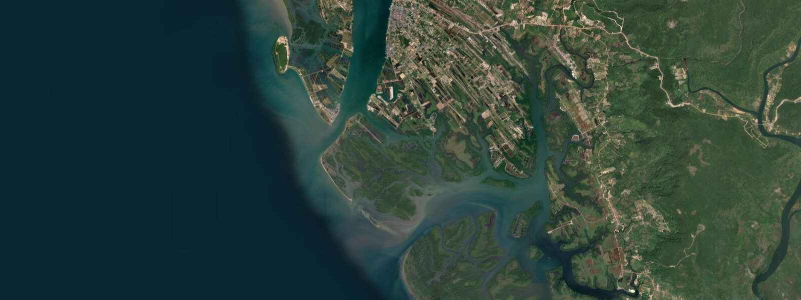
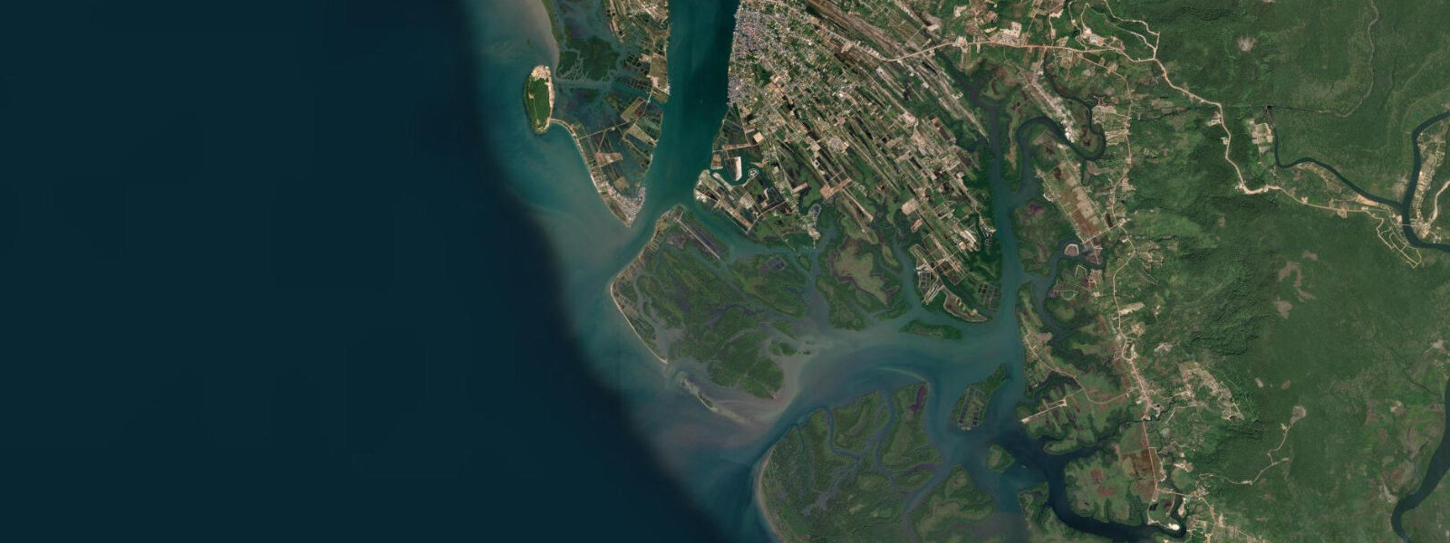
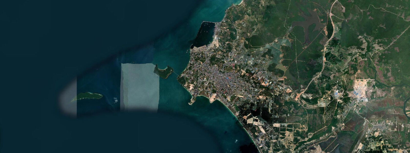
Koh Kong is a Cambodian border town at the head of the Gulf of Thailand, separated from the Thai province of Trat by the Klong Yai River. The Thai-Cambodian border crossing here was one of the main land entry points for travel between the two countries before the main crossing at Poipet became more heavily used. The town sits where the Cardamom Mountains reach the coast — the mountains are visible to the east and northeast, rising to over 1,000 metres, and they form the backdrop to a coastline that transitions rapidly from mangrove and estuary to rocky headland and island reef.
The tidal regime at Koh Kong is mixed semidiurnal with a spring range of approximately 2 to 3 metres. The Gulf of Thailand is a semi-enclosed sea with its own tidal dynamics, and the northern coast of the Gulf — where Koh Kong sits — has a more pronounced tidal range than the central Gulf. The Koh Kong Estuary, where the Klong Yai drains into the Gulf, has a characteristic tidal bore on the largest spring tides — a low wave front moving upstream as the flood tide pushes into the river mouth. The mangrove ecosystem at the river mouth is extensive, and the tidal flooding cycle drives the productivity of the mangrove fishery.
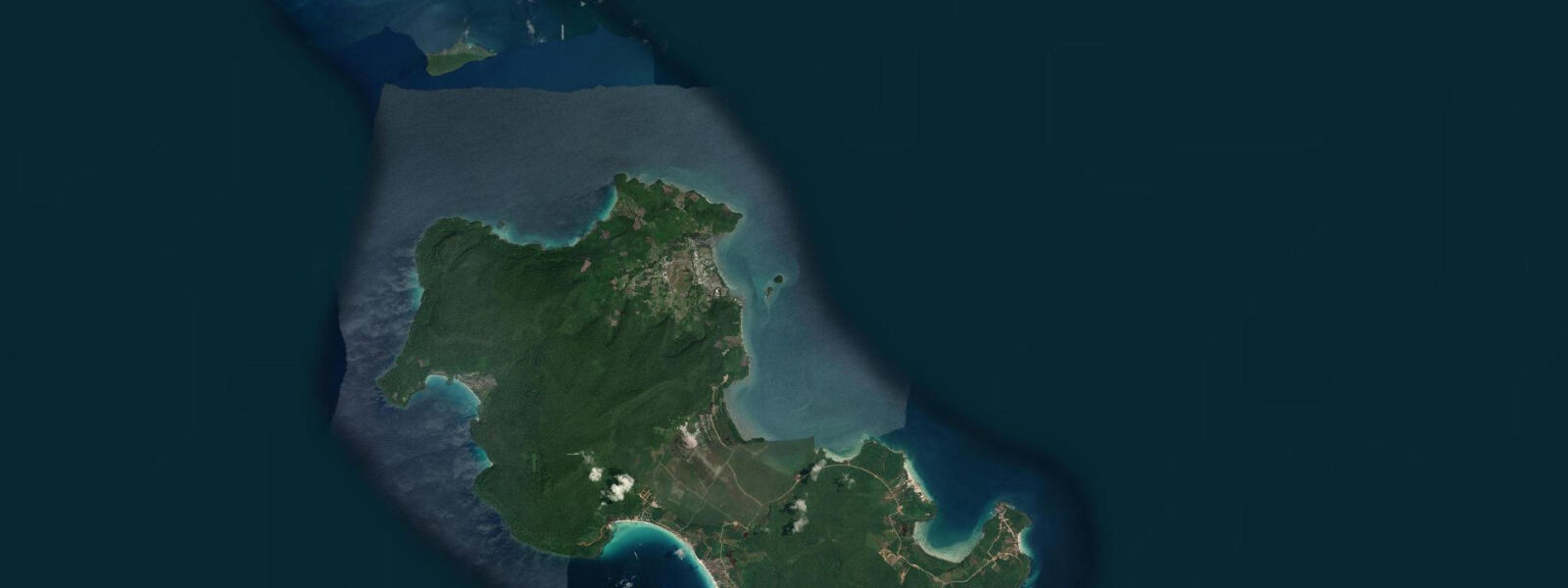
The Koh Kong Archipelago lies offshore from the town — a scatter of approximately 20 islands across 30 kilometres of Gulf water. Several islands have coral reef in 5 to 15 metres depth on their outer faces, accessible by boat from Koh Kong in 30 to 90 minutes depending on destination. The reef has been subject to blast fishing in the past; recovery is ongoing in the years since enforcement improved. Koh Sdach (King Island), the largest island in the archipelago, has a permanent fishing community and basic accommodation.
The Cardamom Mountains backing the coast form one of Southeast Asia's largest intact lowland rainforest blocks. The Southern Cardamom Protected Area borders the coast near Koh Kong, and boat tours up the tidal rivers into the forested interior are one of the area's primary ecotourism activities. The Tatai River tour, a 2-hour boat journey upstream through mangrove and forest, passes waterfalls accessible in the dry season. The river is tidal for the lower 15 kilometres; the turn-back point for tours is where the tidal influence ends and the freshwater character begins.
For anglers, the estuary and inner Gulf waters around Koh Kong are productive for barramundi (giant sea bass, Lates calcarifer) on the flood tide in the mangrove channels, and for mangrove jack, snapper, and threadfin bream on the outer reef. The giant mudskipper, capable of crawling on the mangrove root systems out of water, is a characteristic species of the lower estuary mudflats.
Access from Sihanoukville (the main Cambodian beach tourism hub) is by road — approximately 2.5 hours. From Bangkok, the bus-and-border crossing route via Hat Yai and the Klong Yai crossing takes 8 to 10 hours.
Predictions on this page come from Open-Meteo Marine, a gridded global ocean model. Accuracy is typically within plus or minus 45 minutes on timing and 0.2 to 0.3 metres on height — model-derived, not from a local gauge. The local tide authority is the Department of Hydrology and River Works, Ministry of Public Works and Transport, Cambodia.
Tide questions about Koh Kong
Quick answers to the most common questions about tide times, range, and water access at Koh Kong.
What is the tidal range at Koh Kong?
Spring tidal range at Koh Kong is approximately 2 to 3 metres. The Gulf of Thailand is a semi-enclosed sea with a stronger tidal signal in its northern sections. The mixed semidiurnal regime produces two unequal highs and lows per day. The Koh Kong estuary has a small tidal bore on the largest spring tides. At low water, the mangrove mudflats at the estuary mouth are extensively exposed. Predictions here come from Open-Meteo Marine (±45 minutes on timing, ±0.3 m on height). Not for navigation; consult the Department of Hydrology and River Works, Cambodia.
Can I visit the Cardamom Mountains from Koh Kong?
Yes. The Southern Cardamom Protected Area borders the coast near Koh Kong, and boat tours up the Tatai River into the forested interior are the primary ecotourism offering. The 2-hour boat journey upstream passes through mangrove and riverine forest, with waterfalls accessible in the dry season (November to May). The river is tidal for the lower 15 kilometres; the tour typically turns back at the freshwater-tidal boundary. Wildlife in the Cardamom interior includes sun bear, clouded leopard (rarely seen), and gibbon (audible from the river in the early morning). Ecotourism guides are bookable through Koh Kong accommodation.
What diving and snorkelling is available near Koh Kong?
The Koh Kong Archipelago has coral reef in 5 to 15 metres on the outer faces of several islands, accessible by boat from Koh Kong in 30 to 90 minutes. The reef has suffered from past blast fishing but recovery is ongoing. Visibility is typically 3 to 8 metres and is best on incoming tides. A small number of dive operators in Koh Kong run guided reef dives and snorkel trips to the archipelago. The reef quality is below that of Thailand's Andaman islands but the sites are largely uncrowded. The best reef sites are on the outer (Gulf-facing) sides of the southern archipelago islands.
How do I get to Koh Kong from Sihanoukville?
By road, approximately 2.5 hours east of Koh Kong on National Road 48, which runs through the coastal lowlands and Cardamom Mountain foothills. Several bus companies run the route daily from Sihanoukville bus station. Private taxi is also available for around 3 times the bus fare. From Phnom Penh, the journey is approximately 4 hours via Kampot or 5 hours via Sihanoukville. From Bangkok, the combined bus and border crossing route via the Klong Yai crossing takes 8 to 10 hours total including the border procedure.
What can I catch fishing in the Koh Kong estuary?
The Koh Kong estuary and mangrove channels are productive for barramundi (giant sea bass, Lates calcarifer) on the flood tide — barramundi ambush prey at the edge of the mangrove root systems as the rising water pushes baitfish into the mangrove interior. Mangrove jack (Lutjanus argentimaculatus), threadfin bream, and sea catfish are also caught in the estuarine channels. The outer Gulf reef targets red snapper, coral trout, and grouper on the flood tide along the reef edges. A Cambodian fishing licence may be required; confirm current regulations through your accommodation or local guide.
6-day tide table — Koh Kong
Heights relative to MSL. Predictions: Open-Meteo Marine (MeteoFrance SMOC, 0.08° grid) — heights relative to MSL (not chart datum / LAT). Model-derived.
| Day | Type | Time | Height |
|---|---|---|---|
| Sat 04 Jul | High | 07:00 | 0.3m |
| Low | 09:50 | -0.0m | |
| Sun 05 Jul | High | 00:43 | 1.4m |
| Low | 10:03 | 0.1m | |
| Mon 06 Jul | High | 01:00 | 1.1m |
| Low | 10:06 | 0.2m | |
| Tue 07 Jul | High | 00:50 | 0.9m |
| Low | 10:20 | 0.3m | |
| Wed 08 Jul | High | 18:15 | 1.0m |
| Thu 09 Jul | Low | 09:00 | 0.4m |
| High | 18:06 | 1.0m |