Sozopol tide times
Sozopol tide forecast — heights relative to MSL.
Tide chart for Sozopol
24-hour cosine-interpolated curve around the present moment. Heights relative to MSL. Predictions: Predictions: Open-Meteo Marine (MeteoFrance SMOC, 0.08° grid).
Sun, moon and conditions on Sat 04 Jul
Snapshot at build time — refreshes daily. Sea state from Open-Meteo Marine.
Highs and lows next 7 days
Every predicted high and low for the next week, with the daily tidal coefficient (0–120; higher = bigger swing, > 95 means stronger currents).
Other spots nearby
The three closest curated TideTurtle locations to Sozopol, measured by great-circle distance.
Today's solunar windows
Solunar tradition: major periods are the ≈3h windows around moon transit and opposition; minor are ≈2h around moonrise and moonset. Pair with the local tide stage and wind for the best read.
About tides at Sozopol
A short guide to the coastline at Sozopol — geography, sea state, and what the tide is actually doing under your feet.
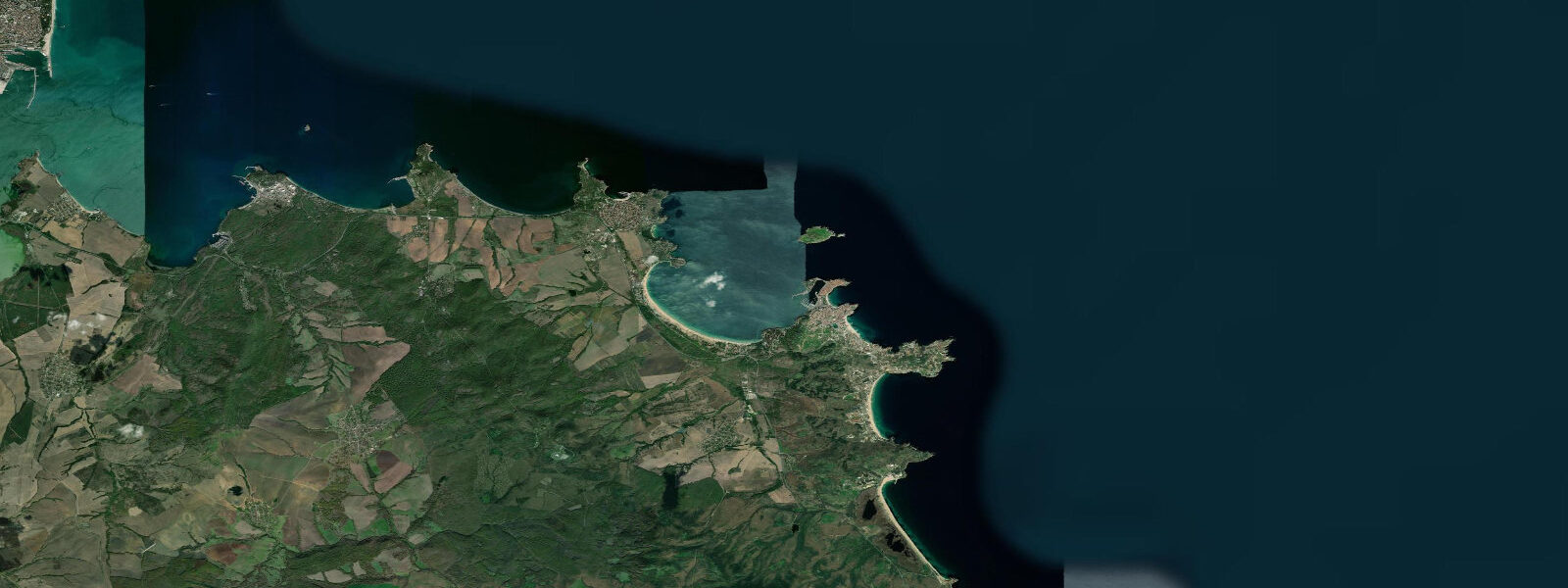
Sozopol (Созопол) is among the oldest continuously inhabited towns on the Black Sea coast, founded around 610 BCE by Greek colonists from Apollonia — Miletus under the Milesian colony-founding expansion — as Apollonia Pontica. The name Sozopol ('city of salvation') came with the Byzantine period; the archaeological record underneath runs from that 7th-century BCE foundation through the Roman and Byzantine layers to the medieval Bulgarian and Ottoman periods. The old town, like Nessebar to the north, occupies a rocky peninsula connected to the mainland by a narrow isthmus, though Sozopol's peninsula is smaller and the town retains its wooden house character — traditional Bulgarian seaside houses of the 18th and 19th centuries, two-storey timber-frame construction with overhanging upper floors, still occupied and well-maintained on the lanes of the old quarter.
Two beaches serve the town: Harmani Beach on the northern side of the isthmus, a wide sandy arc facing north across a sheltered bay, and Town Beach on the southeastern face of the peninsula, more exposed, the sand coursing along the rocky base. The harbour is on the western (sheltered) side of the peninsula; fishing boats and tourist excursion boats berth here. The Sozopol Archaeological Museum holds the underwater archaeology finds from the bay — anchors, amphorae, and ship timber from the ancient Apollonia harbour that lies on the seafloor of the current bay, submerged by coastal subsidence and sea-level rise over the past 2,600 years.
The Apollonia Arts Festival, held annually in late August and early September, uses Sozopol's old town streets and the open-air stage for theatre, music, and visual arts performances — one of the older arts festivals on the Bulgarian coast and a draw for Sofia's cultural scene.
The Black Sea at Sozopol is microtidal: mean astronomical range 0.1 to 0.3 m. This is the characteristic of the entire enclosed Black Sea, which has minimal tidal exchange with the Mediterranean through the Turkish Straits. The tidal signal at Sozopol is effectively absent as a practical influence on beach or harbour activity. What determines water-level conditions is meteorological: northerly winds push the level down and expose additional rock below the town walls; southerly storms can raise the water enough to splash the base of the seawall. The October to March period brings the most significant storm events; summer conditions are generally calm and the mean Black Sea temperature at Sozopol reaches 24°C in August.
The anchor and amphora display at the harbour — occasionally supplemented by new finds from ongoing underwater surveys of the bay — is one of the more direct connections between a modern harbourfront and an active ancient port that the Black Sea coast offers. The seafloor between the peninsula and the offshore island of St Ivan holds ancient harbour infrastructure and ship remains that continue to be mapped by the Centre for Underwater Archaeology based in Sozopol.
Predictions on this page come from Open-Meteo Marine, a gridded global ocean model. At the 0.1 to 0.3 m astronomical range of the Bulgarian Black Sea coast, the model's typical accuracy (plus or minus 45 minutes, 0.2 to 0.3 m) is comparable to the total signal. The Bulgarian Hydrographic Service operates the Burgas gauge 20 km to the north and publishes storm-surge bulletins during adverse Black Sea weather. Burgas is the reference port for this section of coast.
Tide questions about Sozopol
Quick answers to the most common questions about tide times, range, and water access at Sozopol.
When is the next high tide at Sozopol?
The hero block at the top of this page shows the next predicted high at Sozopol in local Eastern European Time (EET/EEST, UTC+2/UTC+3). Astronomical range is 0.1 to 0.3 m — near-zero across the Bulgarian Black Sea coast. What determines actual water level at Sozopol is wind and weather: northerly winds expose additional rock below the peninsula walls; southerly storms raise the level and increase wave energy against the town beach. The Bulgarian Hydrographic Service operates the Burgas gauge and publishes the authoritative sea-level data for this section of coast.
What is the tidal range at Sozopol?
Mean astronomical range is 0.1 to 0.3 m — the standard for the entire Black Sea coast from Romania to Turkey. Storm surges during Black Sea storms produce water-level changes of 0.5 to 1.0 m, entirely independent of the astronomical tide. For beach and harbour planning at Sozopol, the wave-height forecast and the wind direction are the relevant inputs; the tide prediction is the background signal.
Where do these tide predictions come from?
Open-Meteo Marine, a free gridded global ocean model. For the Black Sea's 0.1 to 0.3 m astronomical range, the model's typical uncertainty (plus or minus 45 minutes, 0.2 to 0.3 m) equals the full tidal signal. The predictions describe the background rhythm. For authoritative sea-level data, the Bulgarian Hydrographic Service operates the Burgas gauge 20 km north of Sozopol and publishes tide tables and storm-surge warnings.
What underwater archaeology is there at Sozopol?
The bay in front of Sozopol, between the peninsula and the island of St Ivan, contains the submerged remains of the ancient harbour of Apollonia Pontica — the principal port of the Greek colonial city from the 6th century BCE onward. Coastal subsidence and Black Sea sea-level rise (roughly 5 to 10 m since antiquity) have put the ancient harbour infrastructure 5 to 10 m underwater. The Centre for Underwater Archaeology (CUA), based in Sozopol, has been mapping anchor stocks, amphora fields, and ship-timber remains in the bay since the 1990s. The Sozopol museum displays selected finds; dive operators in the town offer guided dives to marked anchor sites in the bay for certified divers.
Is this safe to use for navigation?
No. TideTurtle is a planning tool for recreational coastal activity, not a navigation resource. Sozopol harbour serves active fishing and tourist boat traffic; the approaches involve rocky shoals extending from the peninsula tip. For authoritative Bulgarian Black Sea navigation data, use charts published by the Bulgarian Hydrographic Service. Underwater archaeological zones in the bay have restricted access for unguided divers. Open-Meteo Marine gridded predictions do not replace authoritative navigation sources.
8-day tide table — Sozopol
Heights relative to MSL. Predictions: Open-Meteo Marine (MeteoFrance SMOC, 0.08° grid) — heights relative to MSL (not chart datum / LAT). Model-derived.
| Day | Type | Time | Height |
|---|---|---|---|
| Sat 04 Jul | — | ||
| Sun 05 Jul | Low | 01:00 | -0.4m |
| High | 06:00 | -0.4m | |
| Mon 06 Jul | — | ||
| Tue 07 Jul | Low | 02:00 | -0.5m |
| Wed 08 Jul | — | ||
| Thu 09 Jul | — | ||
| Fri 10 Jul | High | 13:00 | -0.3m |
| Sat 11 Jul | Low | 02:00 | -0.4m |