Nessebar tide times
Nessebar tide forecast — heights relative to MSL.
Today's tide times for Nessebar
Tide times at Nessebar on Saturday, 4 July 2026: first low tide at 11:00am. Sunrise 05:35am, sunset 08:50pm.
Tide chart for Nessebar
24-hour cosine-interpolated curve around the present moment. Heights relative to MSL. Predictions: Predictions: Open-Meteo Marine (MeteoFrance SMOC, 0.08° grid).
Sun, moon and conditions on Sat 04 Jul
Snapshot at build time — refreshes daily. Sea state from Open-Meteo Marine.
Highs and lows next 7 days
Every predicted high and low for the next week, with the daily tidal coefficient (0–120; higher = bigger swing, > 95 means stronger currents).
Other spots nearby
The three closest curated TideTurtle locations to Nessebar, measured by great-circle distance.
Today's solunar windows
Solunar tradition: major periods are the ≈3h windows around moon transit and opposition; minor are ≈2h around moonrise and moonset. Pair with the local tide stage and wind for the best read.
About tides at Nessebar
A short guide to the coastline at Nessebar — geography, sea state, and what the tide is actually doing under your feet.
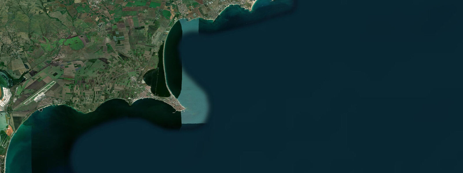
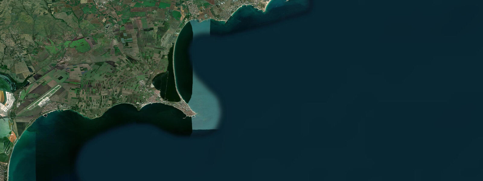
Nessebar (Несебър) is a UNESCO World Heritage Site on the southern Bulgarian Black Sea coast, 35 km north of Burgas, and one of the longest-continuously-inhabited sites on the Black Sea — founded as the Thracian settlement of Menebria, colonised by Greek settlers from Megara in the 6th century BCE, and occupied through Roman, Byzantine, Bulgarian, and Ottoman periods. The old town occupies a small rocky peninsula connected to the mainland by a narrow isthmus, and the density of medieval churches on this tiny landmass — 40 churches recorded historically, over 20 surviving in various states — is extraordinary for a peninsula barely 850 m long by 350 m wide. Several are active; others are maintained as monuments; a few exist only as foundations and decorative brickwork visible from the street.
The Church of Christ Pantokrator (14th century), the Church of St John the Baptist (11th century), and the ruined Church of St Sophia (Old Bishopric, 5th to 6th century) are the most visited. The decorative polychrome stonework on the Pantokrator's exterior — alternating courses of stone and brick with ceramic roundels — is the definitive example of the Bulgarian medieval architectural style that flourished here and in Tarnovo. The Archaeological Museum in the old town holds the finds from several millennia of occupation including Greek amphorae, Byzantine jewellery, and Thracian bronze objects.
The Black Sea at Nessebar is microtidal: mean astronomical range 0.1 to 0.3 m. The Black Sea is nearly enclosed, connected to the Mediterranean only through the Turkish Straits, and the tidal signal dissipates almost entirely before reaching the Bulgarian and Romanian coasts. What drives water-level change at Nessebar is entirely meteorological: northerly winds push the water level down, southerlies raise it, and Black Sea storms in autumn and winter can produce surge events of 0.5 to 1.0 m entirely independent of the astronomical tide. The harbourfront on the northern side of the old town peninsula is sheltered from the dominant north and northeast sea exposure, while the southern beach faces the open Black Sea and receives more wave energy in northeasterly weather.
The isthmus approach to the old town is lined with tourist shops; the old town interior, once one penetrates the first street, is quieter and genuinely atmospheric — stone lanes between Byzantine church walls, fig trees growing from medieval masonry, and the smell of grilling fish from the peninsula's restaurants. The summer season is July and August; May, June, September, and October offer the same historic character at lower crowd density.
Sunny Beach (Slanchev Bryag), Bulgaria's largest package-holiday resort, is 2 km north of Nessebar at the northern end of the same bay — the contrast in character between the two adjacent destinations is useful context for anyone planning a visit to this coast. The long sandy arc of Sunny Beach/Nessebar Bay is one of the more sheltered beach environments on the northern Bulgarian coast.
Predictions on this page come from Open-Meteo Marine, a gridded global ocean model. At the 0.1 to 0.3 m astronomical range of the Bulgarian Black Sea coast, the model's typical accuracy (plus or minus 45 minutes, 0.2 to 0.3 m) is comparable to the total signal. For authoritative Black Sea sea-level data, the Bulgarian Hydrographic Service (Хидрографска служба на Военноморските сили) operates gauges at Burgas and publishes storm-surge bulletins during adverse weather.
Tide questions about Nessebar
Quick answers to the most common questions about tide times, range, and water access at Nessebar.
When is the next high tide at Nessebar?
The hero block at the top of this page shows the next predicted high at Nessebar in local Eastern European Time (EET/EEST, UTC+2/UTC+3). Astronomical tide range is 0.1 to 0.3 m — the Black Sea's characteristic near-zero tidal signal. Water-level conditions at Nessebar are set by wind and weather rather than by the moon. The Bulgarian Hydrographic Service operates the Burgas gauge, the closest reference station to Nessebar, and publishes storm-surge warnings during adverse Black Sea weather.
What is the tidal range at Nessebar?
Mean astronomical range is 0.1 to 0.3 m — the standard for the entire Bulgarian and Romanian Black Sea coast. The Black Sea has negligible tidal exchange with the Mediterranean. Autumn and winter Black Sea storm surges produce water-level changes of 0.5 to 1.0 m, several times the predicted tidal range, and these are the events that matter for the harbour and seafront areas of the old town peninsula. Summer conditions are calmer; the dominant driver of daily water-level variation is still wind rather than tide.
Where do these tide predictions come from?
Open-Meteo Marine, a free gridded global ocean model. At the Black Sea's 0.1 to 0.3 m astronomical range, the model's typical uncertainty (plus or minus 45 minutes, 0.2 to 0.3 m) equals or exceeds the signal. The predictions describe the background tidal rhythm. The Bulgarian Hydrographic Service operates the Burgas gauge and publishes the authoritative sea-level data for the southern Bulgarian Black Sea coast.
What are the most important churches to visit in Nessebar?
Four stand out. The Church of Christ Pantokrator (14th century, on the main street of the old town) is the best-preserved exterior, with polychrome stonework and ceramic roundels that are the definitive example of Bulgarian medieval architecture. The Church of St John the Baptist (11th century, near the harbour) is one of the oldest surviving structures. The Basilica of St Sophia (Old Bishopric, 5th–6th century) is the largest ruin, open to the sky, its apse still standing. The Church of St Stefan (New Metropolitan Church, 11th century, rebuilt 16th century) retains original frescoes inside. Admission fees apply to most interiors. The walking circuit of the peninsula takes 45 minutes at a slow pace.
Is this safe to use for navigation?
No. TideTurtle is a planning tool for recreational coastal activity, not a navigation resource. The Nessebar harbour serves local fishing and tourism boats; the approach from the Black Sea requires awareness of the shallow bar and the rocky shoals extending from the peninsula. For authoritative Bulgarian Black Sea navigation data, use charts published by the Bulgarian Hydrographic Service. Open-Meteo Marine gridded predictions do not replace authoritative navigation sources.
7-day tide table — Nessebar
Heights relative to MSL. Predictions: Open-Meteo Marine (MeteoFrance SMOC, 0.08° grid) — heights relative to MSL (not chart datum / LAT). Model-derived.
| Day | Type | Time | Height |
|---|---|---|---|
| Sat 04 Jul | Low | 11:00 | -0.4m |
| Sun 05 Jul | High | 06:00 | -0.4m |
| Low | 12:00 | -0.4m | |
| Mon 06 Jul | — | ||
| Tue 07 Jul | High | 21:00 | -0.4m |
| Wed 08 Jul | High | 15:00 | -0.4m |
| Thu 09 Jul | — | ||
| Fri 10 Jul | Low | 06:00 | -0.4m |