Nessebar tide times
Nessebar tide forecast — heights relative to MSL.
Today's tide times for Nessebar
Tide times at Nessebar on Sunday, 21 June 2026: first low tide at 03:00am. Sunrise 05:31am, sunset 08:50pm.
Tide chart for Nessebar
24-hour cosine-interpolated curve around the present moment. Heights relative to MSL. Predictions: Predictions: Open-Meteo Marine (MeteoFrance SMOC, 0.08° grid).
Sun, moon and conditions on Sun 21 Jun
Snapshot at build time — refreshes daily. Sea state from Open-Meteo Marine.
Highs and lows next 7 days
Every predicted high and low for the next week, with the daily tidal coefficient (0–120; higher = bigger swing, > 95 means stronger currents).
Other spots nearby
The three closest curated TideTurtle locations to Nessebar, measured by great-circle distance.
Today's solunar windows
Solunar tradition: major periods are the ≈3h windows around moon transit and opposition; minor are ≈2h around moonrise and moonset. Pair with the local tide stage and wind for the best read.
About tides at Nessebar
A short guide to the coastline at Nessebar — geography, sea state, and what the tide is actually doing under your feet.
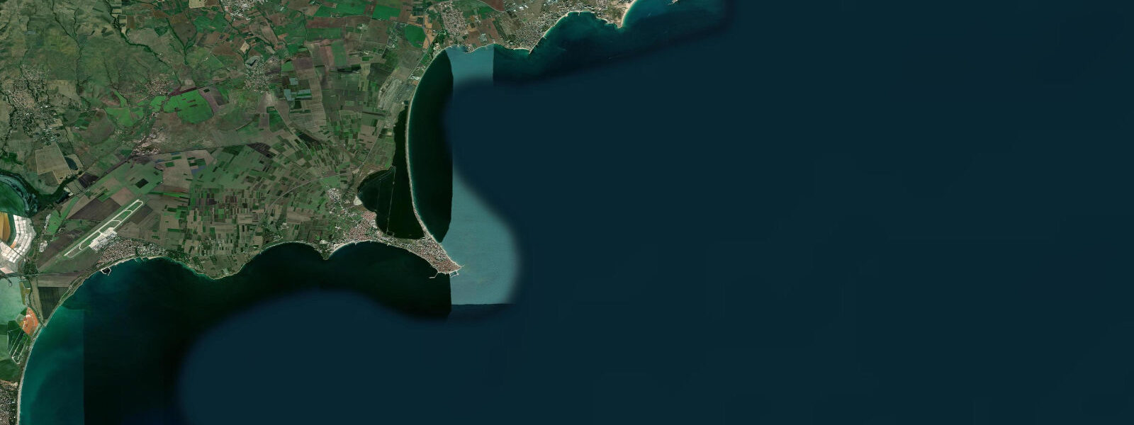
Nessebar — Несебър in Bulgarian, Mesembria in its ancient Greek form — is a small rocky peninsula jutting 400 metres into the Black Sea connected to the mainland by a narrow isthmus roughly 100 metres wide. The peninsula is a UNESCO World Heritage Site, carrying the distinction both for its historical layering — over 3,000 years of continuous settlement — and for the remarkable concentration of Byzantine and later Orthodox Christian church architecture preserved in its compact area. More than 40 churches have been identified on the peninsula, ranging from Early Christian basilicas of the 5th and 6th centuries through middle-Byzantine foundations to post-Byzantine constructions of the 18th and 19th centuries.
Most of the mediaeval churches survive only as roofless shells — the walls stand, the arches survive, the decorative stone carving is readable — but the density of ecclesiastical ruins on a single small peninsula with no room for modern intrusion gives the Old Town its museum quality. The working modern town of Nessebar extends across the mainland behind the isthmus; immediately to the north, Sunny Beach (Slanchev Bryag) is the largest and most intensively developed resort on the Bulgarian coast, a continuous wall of high-rise hotels extending 8 kilometres. The contrast between the intimate stone lanes of the Old Town peninsula and the resort immediately to the north is one of the more dramatic juxtapositions on the European coast.
The Archaeological Museum at the isthmus entrance holds inscriptions, coins, and ceramics from the Greek, Roman, Byzantine, and Bulgarian medieval periods; it is small but covers the full occupation sequence and is worth an hour before or after walking the peninsula. The beach on the Nessebar side — south of the isthmus, facing south-east — is quieter than Sunny Beach, with a gentler profile and less commercial infrastructure. The tidal regime at Nessebar is the same as throughout the Bulgarian Black Sea coast: astronomical range 5 to 15 centimetres.
There is no meaningful astronomical tide here. The predicted high and low water on any given day describe a water-level change smaller than typical wave runup on a calm Black Sea day. The sea-level change between morning and evening at the base of the Nessebar Old Town walls is imperceptible compared with the changes driven by wind.
7 metres, which on the south-facing town beach means the water reaches further up the sand and can occasionally wash against the lower sections of the mediaeval walls at the peninsula's foot. Burgas Bay, in which Nessebar sits at its northern end, is slightly more responsive to south-easterly and south-westerly wind-driven setup than the more exposed northern coast at Varna; the bay geometry channels wind-driven anomalies in a way that can briefly concentrate water level at the Nessebar end. The Burgas gauge (NIMH) is the reference station for this stretch of coast.
NIMH (Национален институт по метеорология и хидрология) Bulgaria publishes the authoritative sea-level and storm-surge data for the region. Swimming from the Nessebar town beach is comfortable in calm summer conditions; the bottom is sand with scattered rock, visibility runs 3 to 8 metres in calm weather. Snorkellers can reach the rocky base of the Old Town walls from the beach and find wrasse, bream, and occasional sea bass working the mediaeval stonework.
Shore anglers fishing from the isthmus and the northern breakwater target horse mackerel and turbot. Predictions on this page come from Open-Meteo Marine, a gridded global ocean model. For the Black Sea's 5-to-15-centimetre astronomical range, the model's accuracy margin far exceeds the total tidal signal; treat the high and low predictions as indicative only.
Tide questions about Nessebar
Quick answers to the most common questions about tide times, range, and water access at Nessebar.
When is the next high tide at Nessebar?
The hero block shows the next predicted high at Nessebar in local Eastern European Time (EET/EEST, UTC+2/UTC+3). The Black Sea astronomical tidal range at Nessebar is 5 to 15 centimetres — effectively zero for any practical coastal activity. The predicted high and low labels describe a water-level difference smaller than normal wave runup on a calm day. What varies sea level at Nessebar is wind: the bielan north-easterly and south-westerly storm tracks can change water level by 0.3 to 0.7 metres. The Burgas NIMH gauge is the reference for this section of coast; NIMH publishes authoritative sea-level and storm-surge data.
What is the best way to see the Byzantine churches of Nessebar?
The Old Town peninsula is small enough to walk entirely in under an hour, but the concentration of ruins is dense enough to warrant two to three hours for a thorough visit. The most significant surviving structures are the 14th-century Church of St. John Aliturgetos (a fully intact shell with carved limestone decorative panels), the 11th-century Old Bishop's Basilica (roofless, large-scale foundations), and the Church of Christ Pantocrator (6th century foundations, later Byzantine rebuild, now functioning as a gallery). The Archaeological Museum at the isthmus entrance holds inscriptions and portable finds from the peninsula's multiple occupation layers. Early morning before 09:00 — before the tour buses arrive from Sunny Beach — gives the lanes of the Old Town at their quietest. The isthmus road fills with pedestrian traffic by 10:00 in season.
How is Nessebar beach different from Sunny Beach?
The Nessebar town beach south of the Old Town isthmus faces south-east and is separated from Sunny Beach by the Nessebar peninsula itself, which blocks the direct northerly connection. It is substantially quieter in terms of sunbed density, pedestrian traffic, and water sports concessions. The beach is narrower than the wide arc of Sunny Beach and the bottom transitions from sand to scattered rock more quickly. The view from the Nessebar beach back to the Old Town walls and the skyline of Byzantine church towers provides a very different context for swimming compared with Sunny Beach's resort backdrop. For families who want sand and sun without the commercial density of Sunny Beach, the Nessebar town beach serves the purpose; for those wanting a long flat beach with comprehensive resort services, Sunny Beach is immediately accessible on foot or by shuttle.
Can you snorkel around the Old Town walls?
Yes. The rocky base of the Nessebar peninsula, including the sections of mediaeval city wall that extend to sea level, supports a typical western Black Sea reef community: wrasse, sea bream, mullet, and occasional sea bass work the stonework and the limestone reef patches. Entry from the Nessebar town beach takes a snorkeller to the base of the wall in 20 to 30 metres of swim; depth along the base of the walls runs 1.5 to 4 metres. The Black Sea is low-salinity compared with the Mediterranean (approximately 18 parts per thousand), which affects buoyancy; additional effort is needed to float or dive compared with a sea swim. Visibility runs 3 to 8 metres on calm days; after a north-easterly wind or rain event that stirs sediment, visibility drops to 1 to 3 metres for one to two days.
Where do these tide predictions come from?
Open-Meteo Marine, a free gridded global ocean model. For the Black Sea, where the astronomical tidal range is only 5 to 15 centimetres, the model's accuracy range — typically plus or minus 45 minutes on timing and 0.2 to 0.3 metres on height — is an order of magnitude larger than the tidal signal. The predicted high and low water levels at Nessebar are indicative only. NIMH (National Institute of Meteorology and Hydrology) Bulgaria operates the Burgas gauge, the authoritative sea-level reference for this stretch of the Bulgarian coast, and publishes storm-surge forecasts. This page is not suitable for navigation.
6-day tide table — Nessebar
Heights relative to MSL. Predictions: Open-Meteo Marine (MeteoFrance SMOC, 0.08° grid) — heights relative to MSL (not chart datum / LAT). Model-derived.
| Day | Type | Time | Height |
|---|---|---|---|
| Sun 21 Jun | Low | 03:00 | -0.5m |
| Mon 22 Jun | High | 21:00 | -0.4m |
| Tue 23 Jun | Low | 05:00 | -0.5m |
| Wed 24 Jun | — | ||
| Thu 25 Jun | — | ||
| Fri 26 Jun | High | 00:00 | -0.4m |
| Low | 07:00 | -0.5m | |