Salvador tide times
Salvador tide forecast — heights relative to MSL.
Today's tide times for Salvador
Tide times at Salvador on Friday, 31 July 2026: first high tide at 03:58, first low tide at 10:14, second high tide at 16:24, second low tide at 22:21. Sunrise 05:54, sunset 17:26.
Tide chart for Salvador
24-hour cosine-interpolated curve around the present moment. Heights relative to MSL. Predictions: Predictions: Open-Meteo Marine (MeteoFrance SMOC, 0.08° grid).
Sun, moon and conditions on Fri 31 Jul
Snapshot at build time — refreshes daily. Sea state from Open-Meteo Marine.
Highs and lows next 7 days
Every predicted high and low for the next week, with the daily tidal coefficient (0–120; higher = bigger swing, > 95 means stronger currents).
Other spots nearby
The three closest curated TideTurtle locations to Salvador, measured by great-circle distance.
Today's solunar windows
Solunar tradition: major periods are the ≈3h windows around moon transit and opposition; minor are ≈2h around moonrise and moonset. Pair with the local tide stage and wind for the best read.
Cycle dates near Salvador
Last spring tide on Thu 30 Jul (range 2.0m). Next neap on Wed 05 Aug.
Spring tides cluster around new and full moons (biggest swings). Neap tides land on quarter moons (smallest swings). See the spring tide and neap tide glossary entries for the why.
About tides at Salvador
A short guide to the coastline at Salvador — geography, sea state, and what the tide is actually doing under your feet.
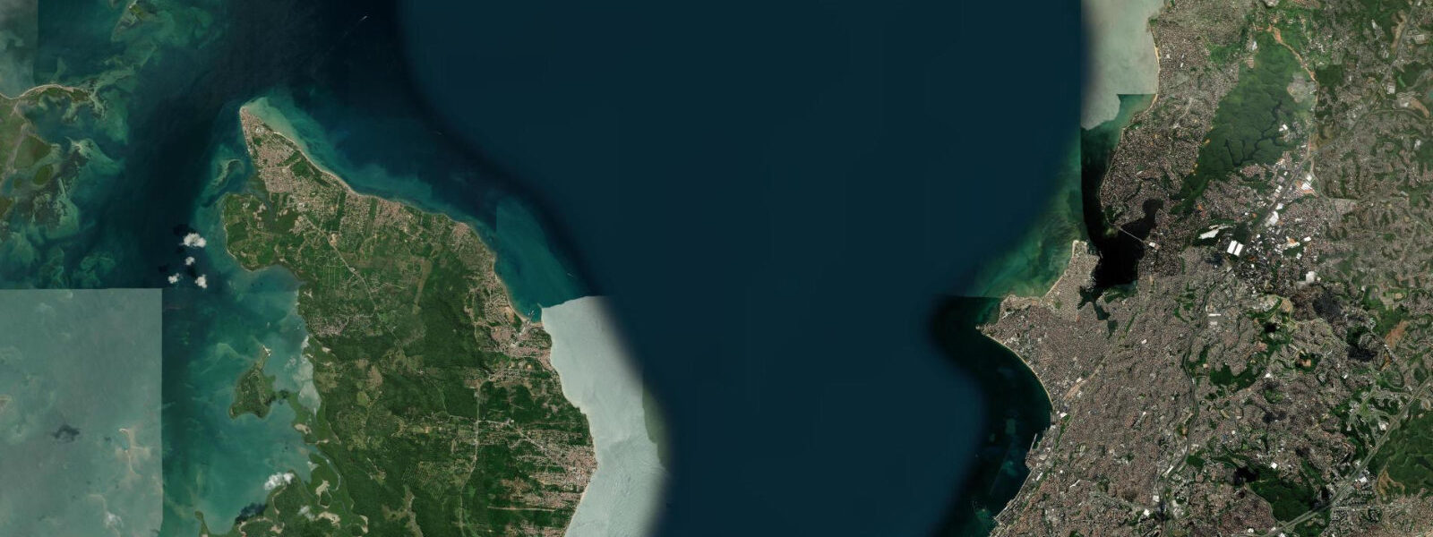
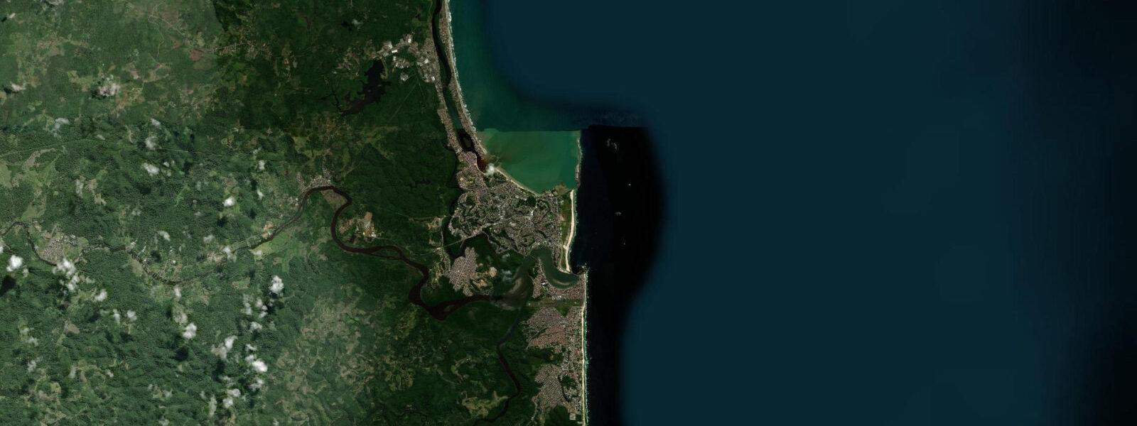
Salvador stands on a bluff above the entrance to Baía de Todos os Santos — the Bay of All Saints — at the southern tip of the Itapagipe Peninsula where the bay's narrow northern mouth opens to the Atlantic. The city looks out over 1,100 square kilometres of enclosed tidal water, one of the largest bays in the Americas and the defining geographic fact of Bahia's coast. The bay's size and the restriction at its entrance produce the tidal character that governs coastal life here: semidiurnal tides, two highs and two lows per day, with a mean spring range of 2.5 to 3.0 m — amplified above the open Atlantic coast by the bay's enclosed geometry and the hydraulic constriction at the mouth.
At the Mercado Modelo waterfront in Salvador's lower city, the Baía de Todos os Santos presents itself as a wide, calm sheet of water, ferries crossing to Itaparica Island and the archipelago settlements beyond. The Elevador Lacerda, the art-deco urban lift connecting the lower commercial district to the historic upper city of the Pelourinho, faces directly over the harbour basin; the 2.5 to 3.0 m tidal swing is visible against the harbour walls and the ferry ramp at Calçada during the course of a day. The ferry to Morro de São Paulo on the Tinharé Island, the most visited island destination in Bahia, operates on a tidal schedule — the arrival timing at Morro depends partly on water level at the beach landing.
The archipelago to the south of Salvador — Itaparica, Madre de Deus, the Tinharé-Boipeba chain — turns the southern bay into a maze of channels and passages where tidal currents run at speeds relevant to navigation. The Canal de Itaparica, between Itaparica Island and the mainland, and the passages around Madre de Deus near the Petrobras refinery complex carry meaningful tidal flow on both flood and ebb. The traditional saveiro — a broad-beamed working sailing craft developed from Portuguese colonial boat-building tradition, with a distinctive square sail that takes the wind from almost dead astern — used to work these passages regularly. Saveiros transported cargo, fish, and people across the bay for centuries, and their operators read tidal currents and wind shifts with the competence of anyone whose livelihood depends on moving a cargo-laden wooden boat through a tidal passage. Working saveiros are now rare; the regatta held annually on the bay keeps the sailing tradition visible, and a few vessels survive as tourist vessels around the Mercado Modelo dock.
The bay margins support large mangrove systems that are functionally important to the fisheries of the broader region. The Paraguaçu River, entering the bay from the north at the city of Cachoeira, brings freshwater into a tidal estuary that maintains mangrove forest along its lower banks. The bay margins at Iguape, São Francisco do Conde, and around the northern bay fringe remain mangrove-fringed; these forests serve as nursery habitat for snook (robalo), several snapper species (vermelho, cioba), mullet (tainha), and the mangrove-dependent crustaceans — caranguejo-uçá crabs and shrimp — that artisanal fishers in the bay communities harvest on a tidal schedule. Low water on the mangrove flat is when the crab hunters move in.
Salvador's urban beaches face the open Atlantic rather than the bay. Praia do Porto da Barra, at the city's southern tip near the bay mouth, is a semi-enclosed crescent that sees both bay-side calm and some Atlantic chop depending on wind direction. Ondina, Amaralina, and Pituba further south face open ocean and receive swell from the southeast trade-wind belt. Swimming conditions on these beaches vary with swell height and tidal state — the reef sections exposed at low tide and the rip channels that activate on the ebb are known locally and to anyone who asks the lifeguards posted at the main beaches.
The city itself carries 500 years of Afro-Brazilian coastal culture. Candomblé, the dominant spiritual tradition of Bahia, has deep connections to the sea through Iemanjá, the deity associated with saltwater and the bay. The festival of Iemanjá in February draws the largest gathering of the year on the seafront at Rio Vermelho, with offerings floated out into the bay at dawn. The tidal state on the day of the festival is not managed or predicted for the ceremony — the offerings go when they go, and the sea takes them or returns them as it will.
Predictions on this page come from Open-Meteo Marine, a gridded global ocean model — typically within plus or minus 45 minutes on timing and 0.2 to 0.3 m on height, model-derived, not a local gauge. The Brazilian Navy's Diretoria de Hidrografia e Navegação (DHN) publishes authoritative harmonic predictions for Salvador and the bay ports. For navigation in the bay channels, commercial ferry scheduling, and any safety-critical decision, DHN's published tidal tables apply.
Tide questions about Salvador
Quick answers to the most common questions about tide times, range, and water access at Salvador.
When is the next high tide in Salvador?
Tide predictions for Salvador are shown on this page. The regime is semidiurnal — two high tides and two low tides per day, with successive highs separated by roughly 12 hours and 25 minutes. Mean spring range is 2.5 to 3.0 m; neap tides produce a noticeably smaller swing. These predictions come from Open-Meteo Marine, a gridded ocean model typically accurate to within plus or minus 45 minutes on timing and 0.2 to 0.3 m on height. The Brazilian Navy's Diretoria de Hidrografia e Navegação (DHN) publishes the authoritative harmonic tide tables for Salvador and the ports of Baía de Todos os Santos — use those for navigation in the bay channels or ferry scheduling.
What is the tidal range in Baía de Todos os Santos?
Mean spring range at Salvador runs approximately 2.5 to 3.0 m, making it one of the more tide-influenced coastal cities in northeastern Brazil. The bay's enclosed geometry amplifies the tidal range above the open Atlantic coast outside the bay mouth. The regime is semidiurnal with moderate diurnal inequality — the two daily highs are broadly similar in height across most of the lunar cycle, without the dramatic single-tide behaviour seen on some parts of the Australian coast. The spring range of 2.5 to 3.0 m produces visible tidal movement against harbour walls, ferry ramps, and the mangrove margins of the bay, and drives meaningful tidal currents through the channel passages in the archipelago.
Where do the Salvador tide predictions on this page come from?
Open-Meteo Marine, a free gridded global ocean model. The model estimates tidal height across a geographic grid rather than computing from harmonic analysis of a local gauge directly. Accuracy is typically within plus or minus 45 minutes on timing and 0.2 to 0.3 m on height — model-derived, not a local gauge. The Brazilian Navy's Diretoria de Hidrografia e Navegação (DHN), the national hydrographic authority, maintains the authoritative tide data for Salvador and the bay. For vessel navigation through the Canal de Itaparica or the passages around Madre de Deus, and for commercial ferry operations, use DHN's published tidal tables.
What is the best time for fishing and crabbing in Baía de Todos os Santos?
Artisanal fishing communities around the bay work the tidal cycle the way coastal fishers do everywhere: the period around the tide turn — the two hours flanking each low or high — is when fish are most active in the channels and mangrove margins. Robalo (snook) feed at the mangrove edge on the flood tide; snapper and mullet concentrate in the channel runs during ebb. Caranguejo-uçá crabs, the thick-legged mangrove crab harvested by caranguejeiros, are caught on the exposed mangrove flat at low water — the hunters go in knee-deep mud when the tide drops. Fishing seasons on the bay are also regulated: there are closed periods (defesos) for certain species including some shrimp and lobster. Check IBAMA and SEAP regulations for current closed seasons before planning a commercial or semi-commercial trip.
Is the bay safe for swimming and boat navigation?
Baía de Todos os Santos is not an ocean swimming beach — it is a large working bay with commercial shipping, ferry traffic, and industrial activity in its northern reaches near the Petrobras Madre de Deus refinery and the Aratu port complex. Swimming in the bay itself, particularly near the harbour and port areas, is not recommended. Salvador's ocean beaches on the Atlantic side — Barra, Ondina, Amaralina, Pituba — are the swimming beaches, with lifeguards and flag systems in operation. For boat navigation in the bay, the DHN's tidal predictions and current charts for the island channels apply. The Canal de Itaparica and the Morro de São Paulo approach channels carry tidal currents and require competent seamanship; recreational boaters should not transit the narrower passages without current atlases and appropriate local knowledge.
7-day tide table — Salvador
Heights relative to MSL. Predictions: Open-Meteo Marine (MeteoFrance SMOC, 0.08° grid) — heights relative to MSL (not chart datum / LAT). Model-derived.
| Day | Type | Time | Height |
|---|---|---|---|
| Fri 31 Jul | High | 03:58 | 1.1m |
| Low | 10:14 | -0.8m | |
| High | 16:24 | 1.0m | |
| Low | 22:21 | -0.6m | |
| Sat 01 Aug | High | 04:32 | 1.1m |
| Low | 10:47 | -0.8m | |
| High | 16:58 | 1.0m | |
| Low | 22:55 | -0.6m | |
| Sun 02 Aug | High | 05:05 | 1.1m |
| Low | 11:21 | -0.7m | |
| High | 17:32 | 1.0m | |
| Low | 23:33 | -0.5m | |
| Mon 03 Aug | High | 05:43 | 1.0m |
| Low | 12:00 | -0.6m | |
| High | 18:11 | 0.9m | |
| Tue 04 Aug | Low | 00:12 | -0.5m |
| High | 06:26 | 0.9m | |
| Low | 12:42 | -0.5m | |
| High | 18:54 | 0.8m | |
| Wed 05 Aug | Low | 01:02 | -0.4m |
| High | 07:15 | 0.8m | |
| Low | 13:34 | -0.4m | |
| High | 19:48 | 0.6m | |
| Thu 06 Aug | Low | 02:08 | -0.4m |
| High | 20:00 | 0.5m |